- Brief description
-
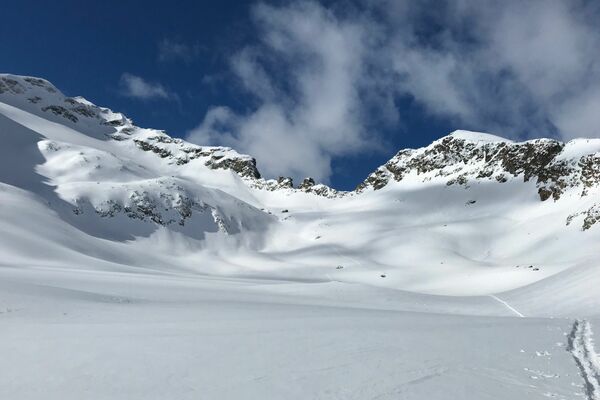
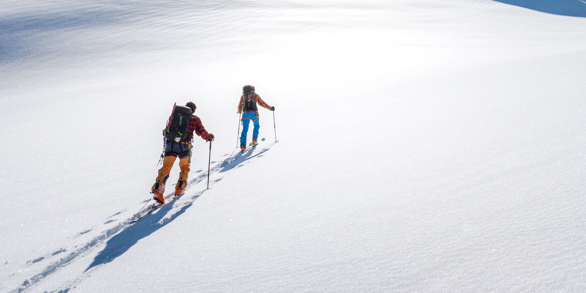
Ski touring route from Maloja, past Lake Lunghin to Piz Lunghin, from where you have a beautiful view on the Engadin lakes.
- Difficulty
-
difficult
- Rating
-
- Starting point
-
Maloja
- Route
-
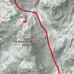
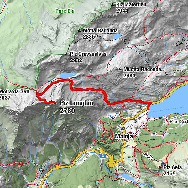
Capolago0.0 kmInn1.5 kmPass Lunghin (2,645 m)4.8 kmPiz Lunghin (2,780 m)5.5 kmInn9.5 kmCapolago11.0 km
- Best season
-
AugSepOctNovDecJanFebMarAprMayJunJul
- Description
-
From the car park in Maloja Capolago or Maloja Posta, follow the summer trail to Lake Lunghin. From the lake, head west-southwest to the Lunghin Pass.
From the pass, continue southeast to a saddle (you may have to leave your skis here). Then over a steep step to the summit ridge and from there, depending on the conditions, over the ridge which becomes steep at the end or the last metres through the very steep north slope to the summit (2780m).
Downhill as ascent. - Highest point
- 2,753 m
- Endpoint
-
Maloja
- Exposition
- Height profile
-
 © outdooractive.com
 - Equipment
-
Equipment can be rented from the local sports shop "Giacometti Sport, Maloja
- Tips
-
If you have any doubts, never trust existing tracks; they are no guarantee of avalanche safety.
Check the avalanche transceiver before every ascent/descent.
Bring a backpack with snow shovel, avalanche probe and first aid kit.
Be aware of possible weather changes.
Never "ride" alone! Always watch each other and be ready to react!
Respect wildlife rest areas! - Parking
-
Parking Maloja Capolago, Maloja Posta
- Author
-
The tour Piz Lunghin is used by outdooractive.com provided.
GPS Downloads


Other tours in the regions
-
Veltlin / Valtellina
102
-
Val Bregaglia Engadin
49
-
Maloja
36