
- Brief description
-
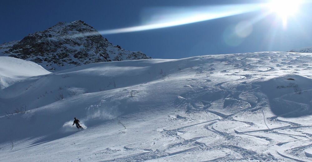
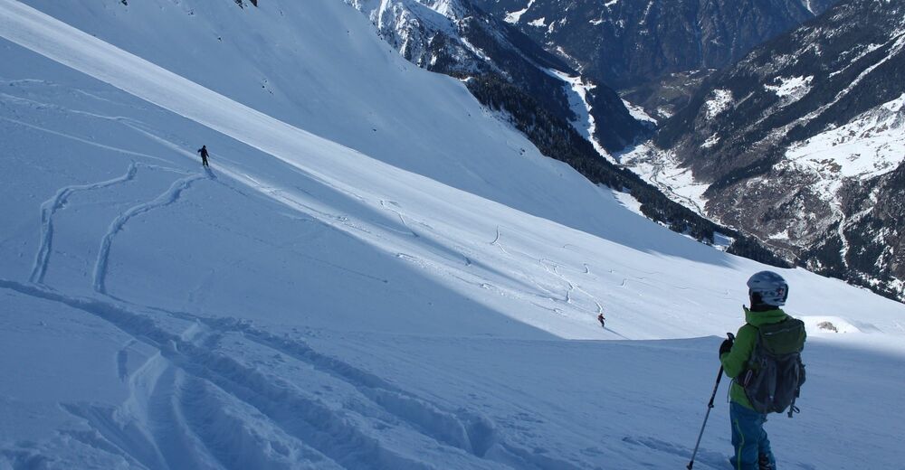
With little ascent we get a sensational descent over the Staldenfirn into the Maderanertal.
- Difficulty
-
difficult
- Rating
-
- Route
-
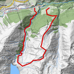
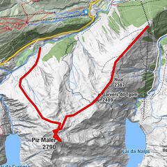
Oberalpstock (3,328 m)3.6 kmStössialp9.3 km
- Best season
-
AugSepOctNovDecJanFebMarAprMayJunJul
- Description
-
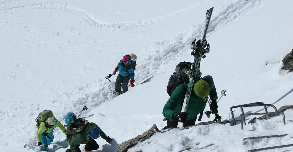
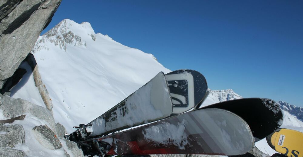
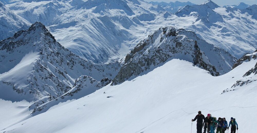
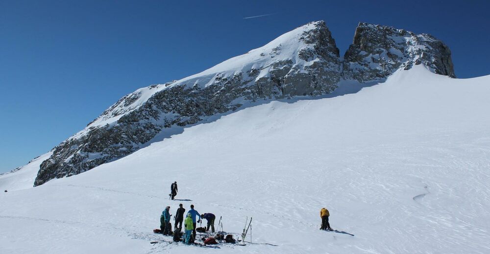
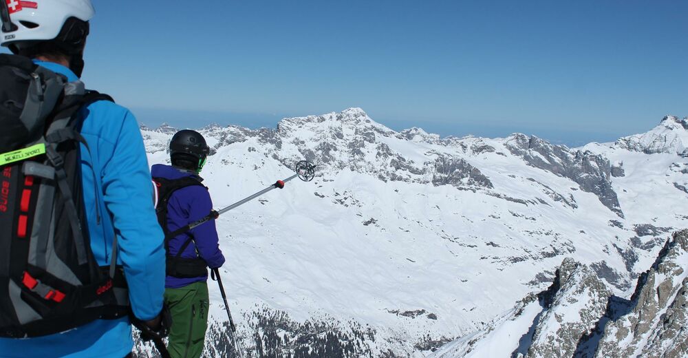
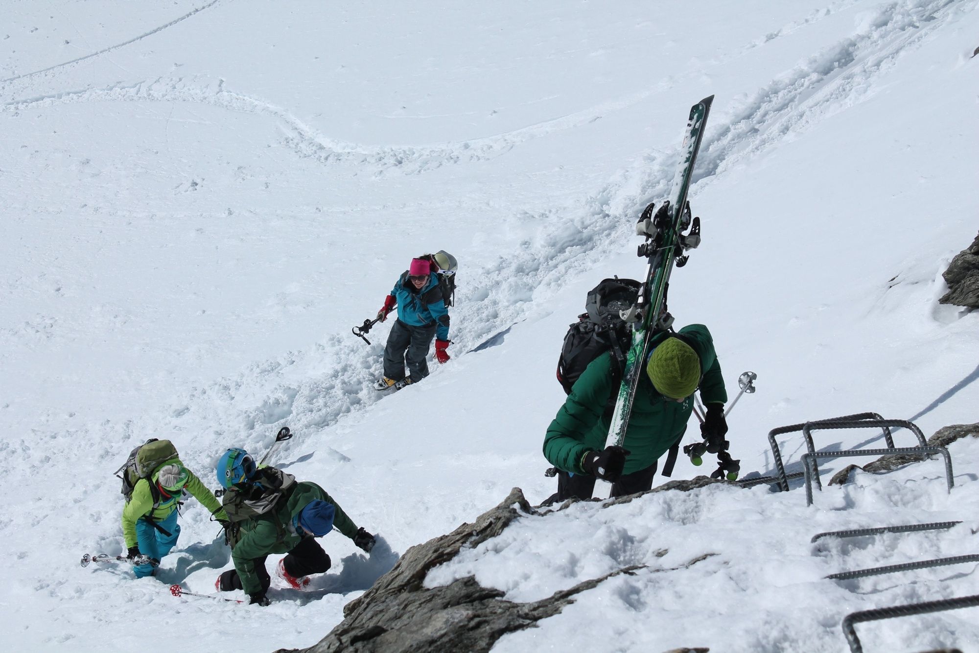
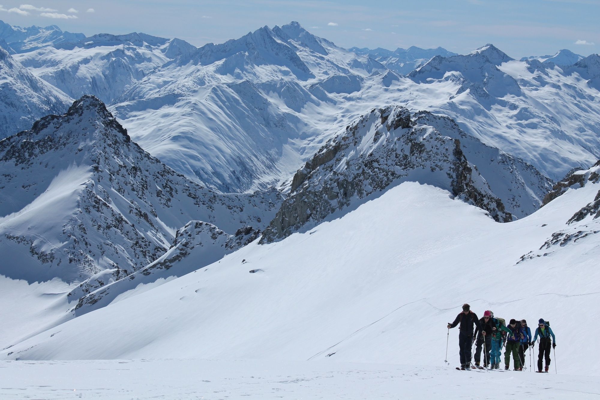
We buy a ski tour ticket from the mountain railway, which allows us to be transported comfortably up to an altitude of 2000 metres. At the end of the ski lift there is often a bit of commotion, as everyone wants to be the first to reach the crossing into the Brunni valley. The rock bar is a challenge and there can sometimes be a traffic jam. From here we climb in wide hairpin bends towards the Oberalpstock, the last section can be demanding. At the summit cross, we are in good company together with the Tödi and towards the north, the Uri region lies at our feet.
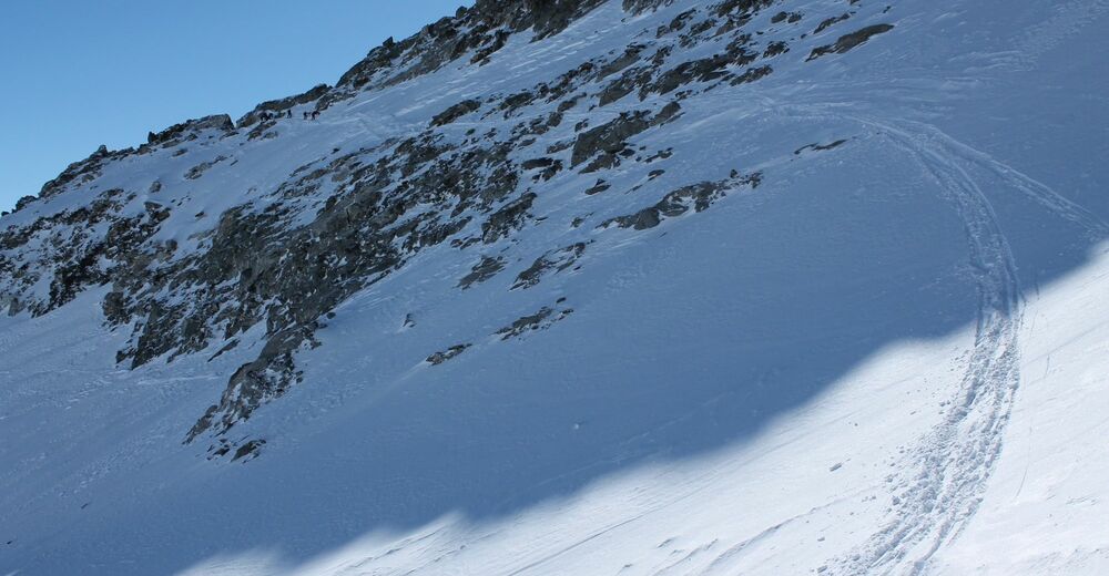
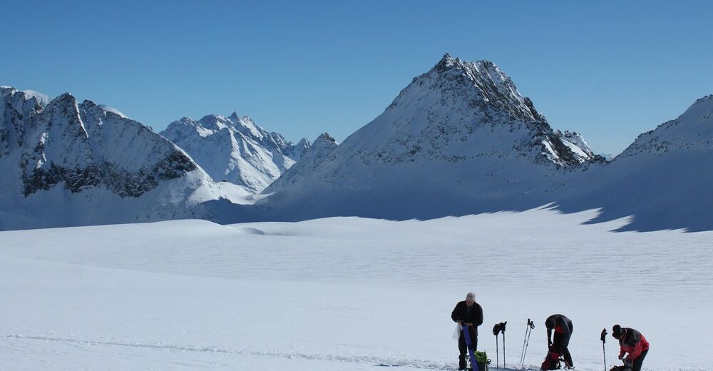
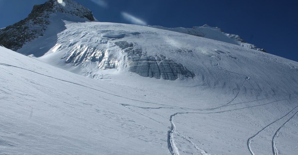
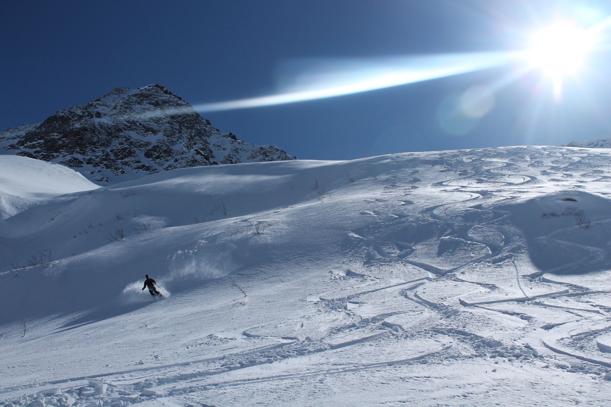
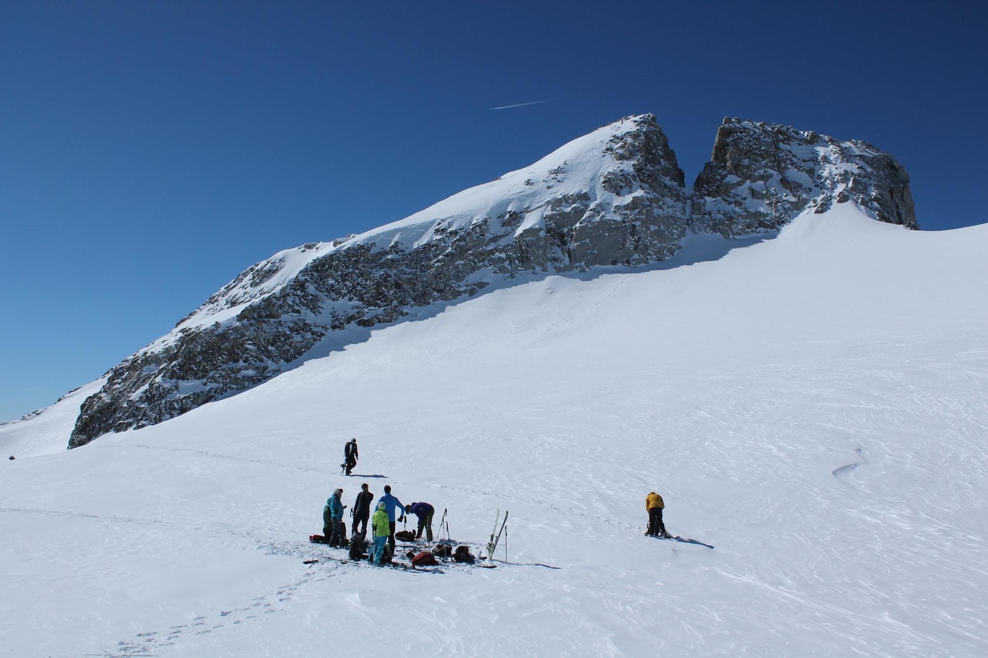
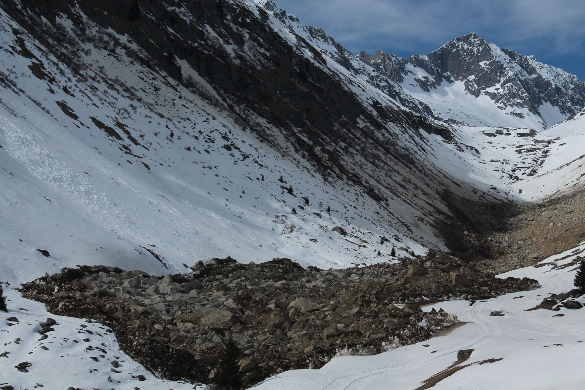
Descent: The first section can be a bit of a slide. Below the summit, we make our way to the starting point for the descent over the Staldenfirn. Shortly before the Stössialp, we run into alder bushes and ditches, so we have to search for the best route. Once we reach the bottom, we take a look back and it's incredible to see where we've come down from. The following section on the alpine road to the valley station of the Golzern cable car is easy, depending on the quality of the snow. Apart from a short stretch, the descent is more or less gentle.
Postbuses run from the Golzern cable car to Amsteg. However, there is also a taxi service: www.uritaxi.ch
- Highest point
- 3,228 m
- Endpoint
-
Bristen
- Exposition
- Height profile
-
 © outdooractive.com


-

-
AuthorThe tour Oberalpstock - Staldenfirn is used by outdooractive.com provided.


General info
-
Uri
85
-
Disentis Sedrun
36
-
Tujetsch
23