


- Brief description
-
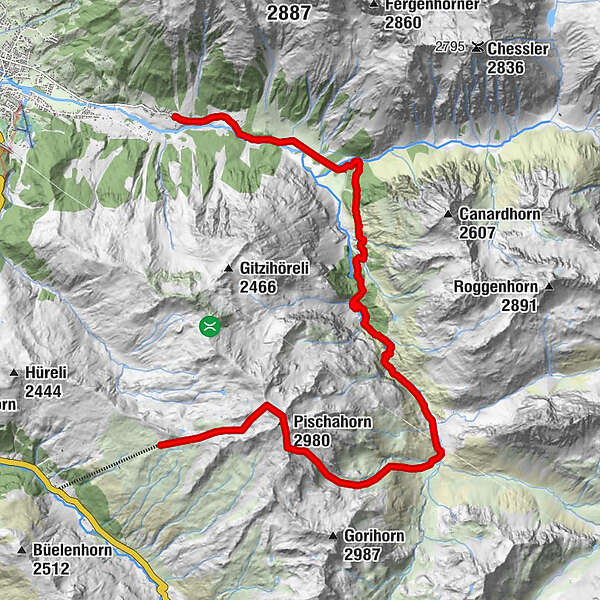
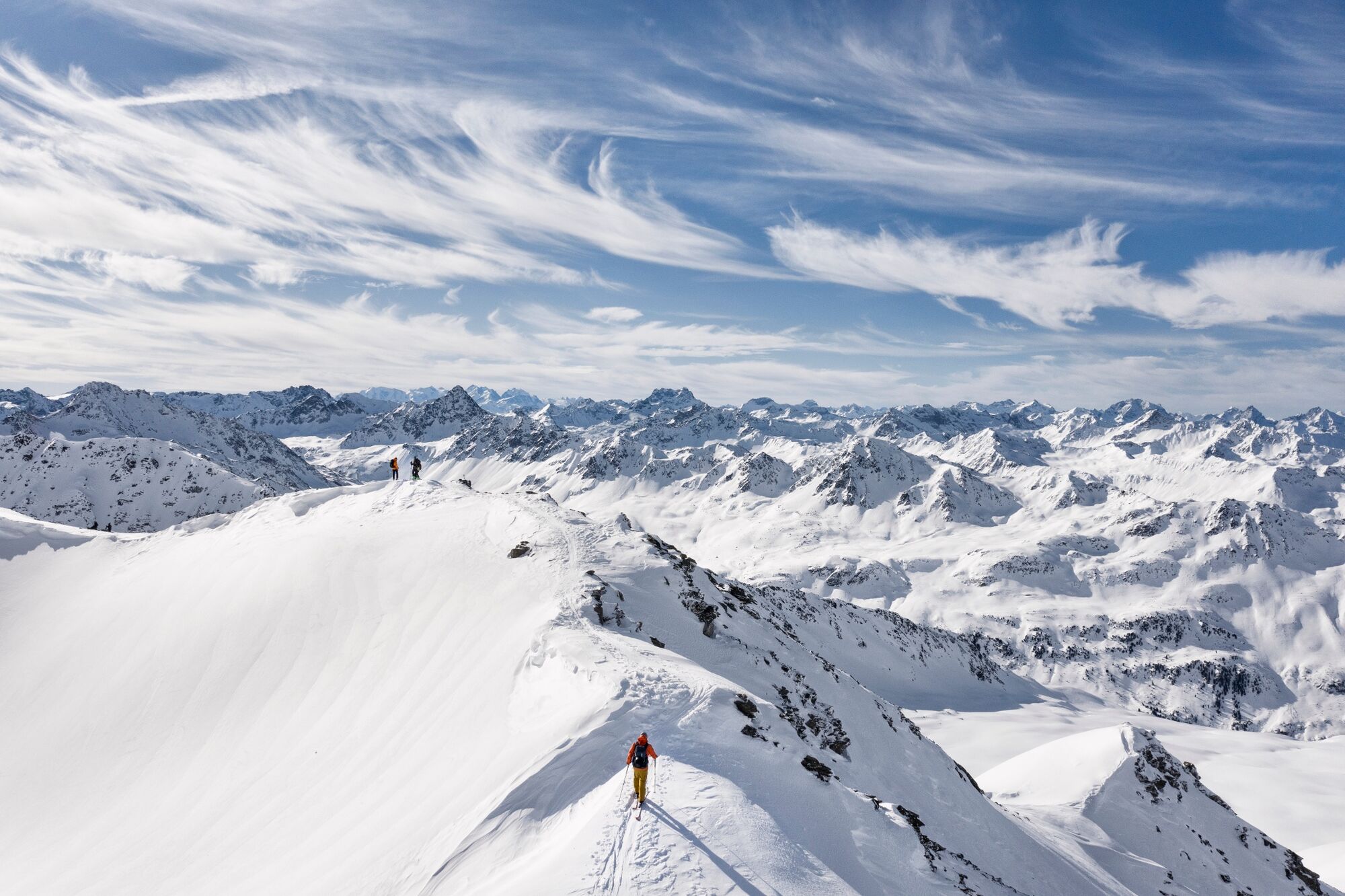
Die Bergstation Pischa gilt als Ausgangspunkt für unzählige Varianten. Eine Möglichkeit führt dich übers Pischahorn runter ins Vereinatal und anschliessend weiter bis nach Monbiel.
- Difficulty
-
medium
- Rating
-
- Route
-
PischaPischahorn (2,980 m)2.1 km
- Best season
-
AugSepOctNovDecJanFebMarAprMayJunJul
- Highest point
- 2,971 m
- Endpoint
-
Monbiel
- Height profile
-
 © outdooractive.com

-

-
AuthorThe tour Pischa - Vereina - Monbiel is used by outdooractive.com provided.
GPS Downloads


General info
Refreshment stop
A lot of view
Other tours in the regions
-
Davos Klosters
82
-
Klosters
36


