- Brief description
-
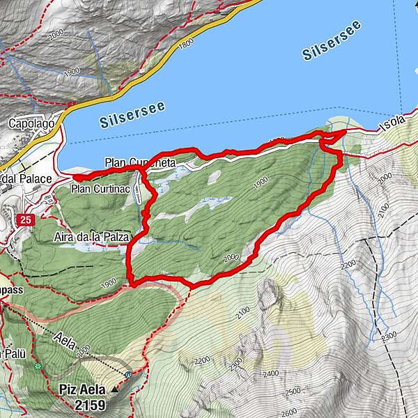
Signed route along the snow-covered lake shore, then up to Plan Curtinac and through the woods back to Maloja.
- Difficulty
-
medium
- Rating
-
- Starting point
-
Maloja
- Route
-
Plan Cuncheta0.4 kmPlan Cuncheta5.0 km
- Best season
-
AugSepOctNovDecJanFebMarAprMayJunJul
- Description
-
A short circular trail on the outskirts of Maloja that, with approx. 100 metres of altitude gain, is a good preparation for larger tours. You can also enjoy the views of the mountains and the village.
From Maloja you first head towards the lakeside path to Isola, at the campsite the path branches off to the right up the slope. At 1912 m, the highest point is reached and the trail follows the valley down to Maloja.
- Directions
-
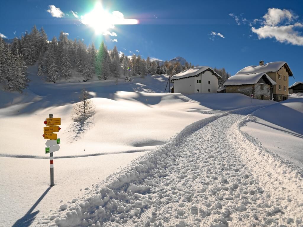
All paths are marked with pink signs with a white snowshoe.
From Maloja, take the lakeside path to the campsite. Shortly afterwards, the snowshoe trail turns right, slightly uphill until the highest point is reached at 1912 m. From here, the trail follows the little valley back down.
- Highest point
- 2,001 m
- Endpoint
-
Maloja
- Height profile
-
 © outdooractive.com
 - Equipment
-
Snowshoes and poles can be rented in the local sports shop "Giacometti Sport, Maloja".
- Tips
-
A detour to Isola and the Lagrev Restaurant is worthwhile, where fine Bergell specialities await the visitors and the sun terrace invites you to linger a bit longer...
- Additional information
-
Guided excursions on request
Info: info@bregaglia.ch
- Public transportation
- Parking
-
Maloja, car park multi-purpose hall

- Author
-
The tour Maloja circular path is used by outdooractive.com provided.