
- Brief description
-
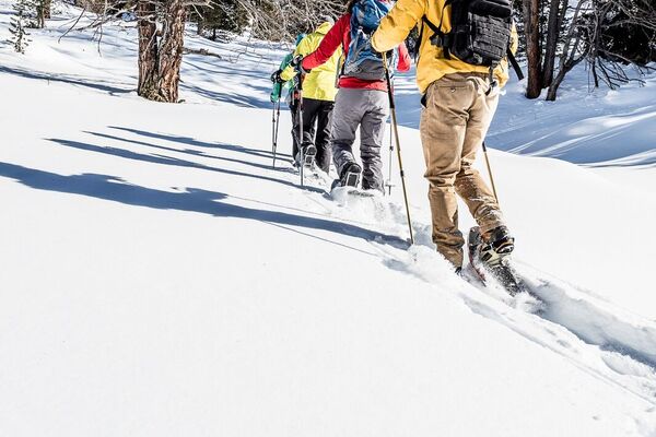
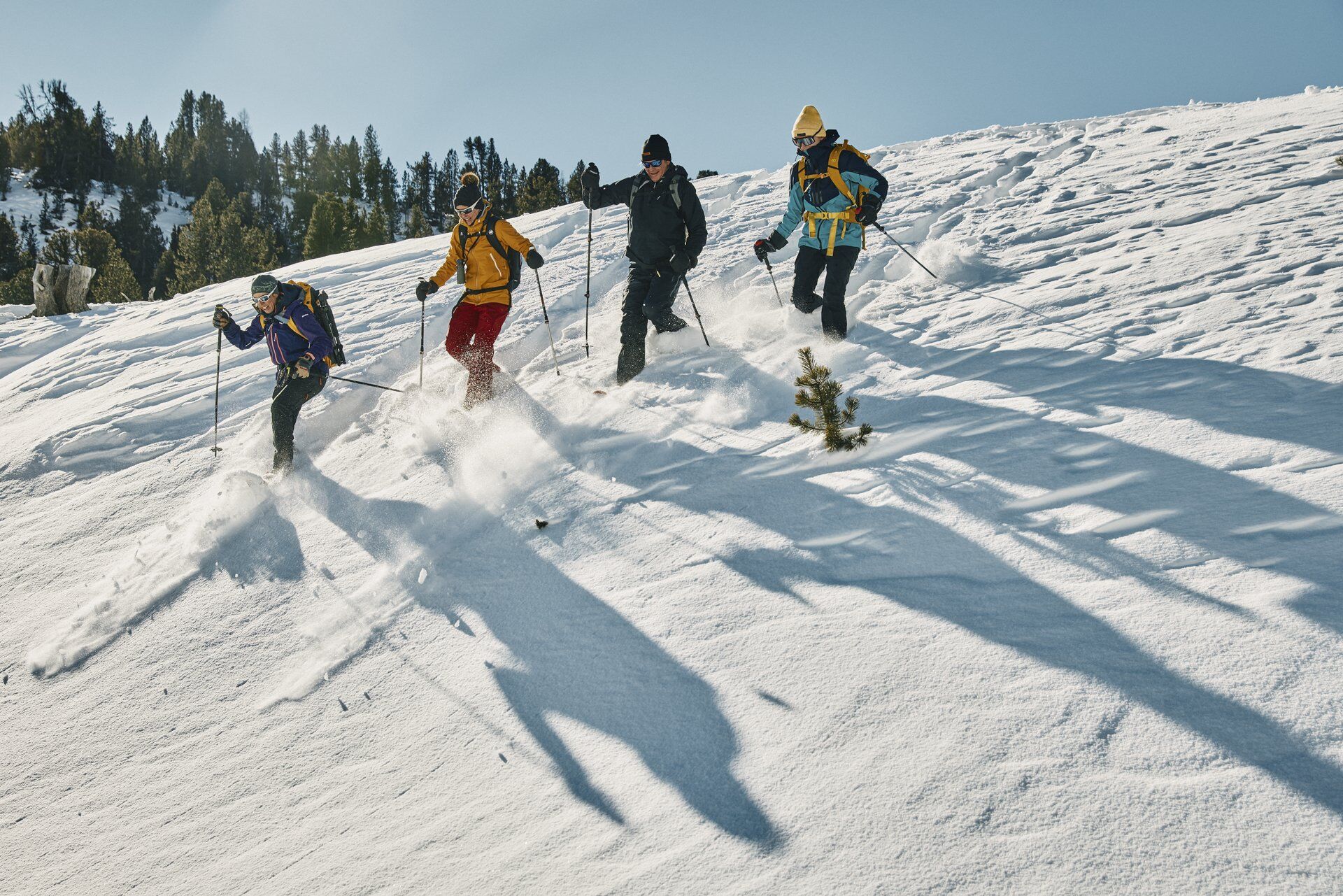
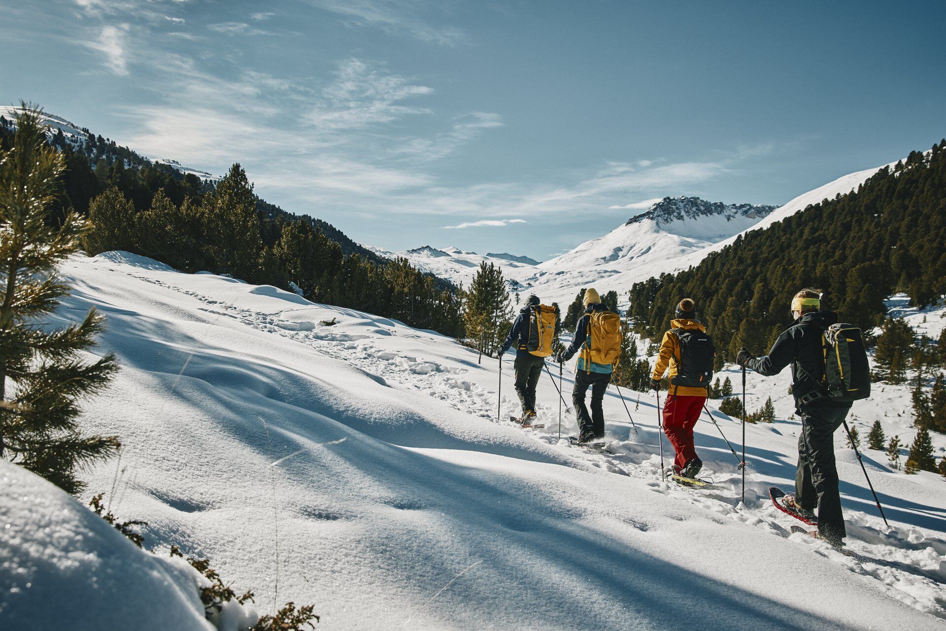
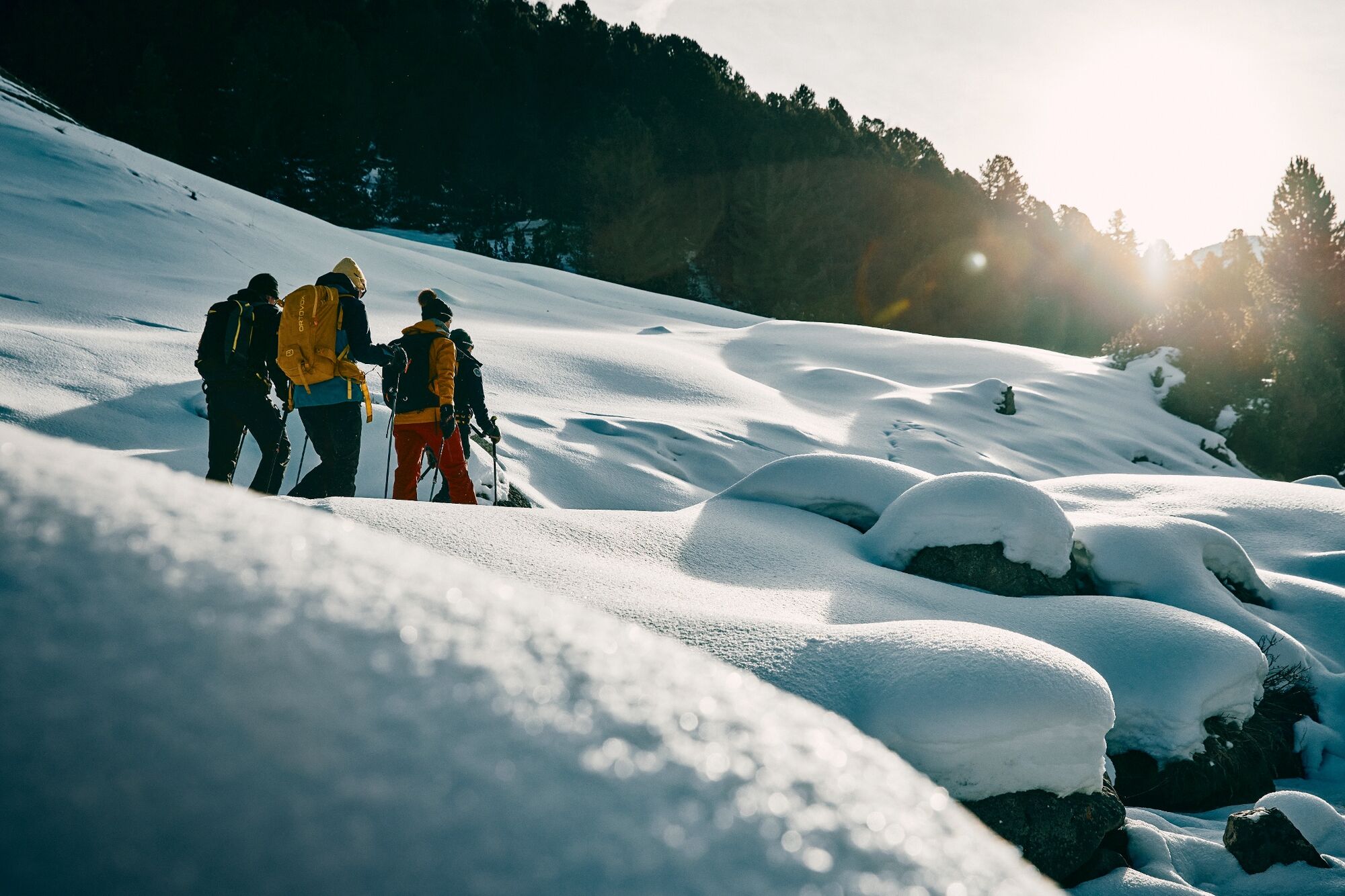
With snowshoes through the untouched winter landscape of the Engadine. A snowshoe tour with dreamlike views.
- Difficulty
-
difficult
- Rating
-
- Starting point
-
S-charl, Scuol
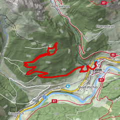
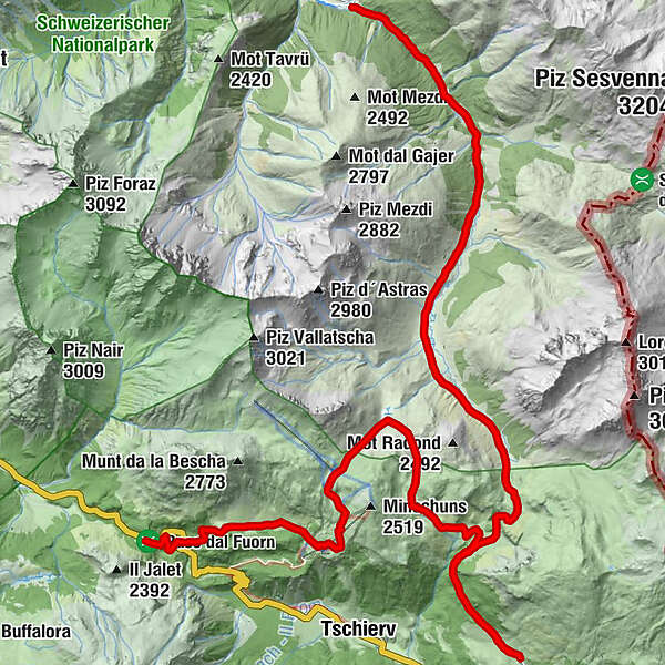
- Route
-
S-charl (1,810 m)0.0 kmPlan d'Immez2.5 kmVictimas da las Lavinas de l'On 195112.9 kmLü (1,920 m)13.4 kmLa Posa16.6 kmAlp da Munt22.1 kmHotel Süsom Givè25.9 km
- Best season
-
AugSepOctNovDecJanFebMarAprMayJunJul
- Description
-
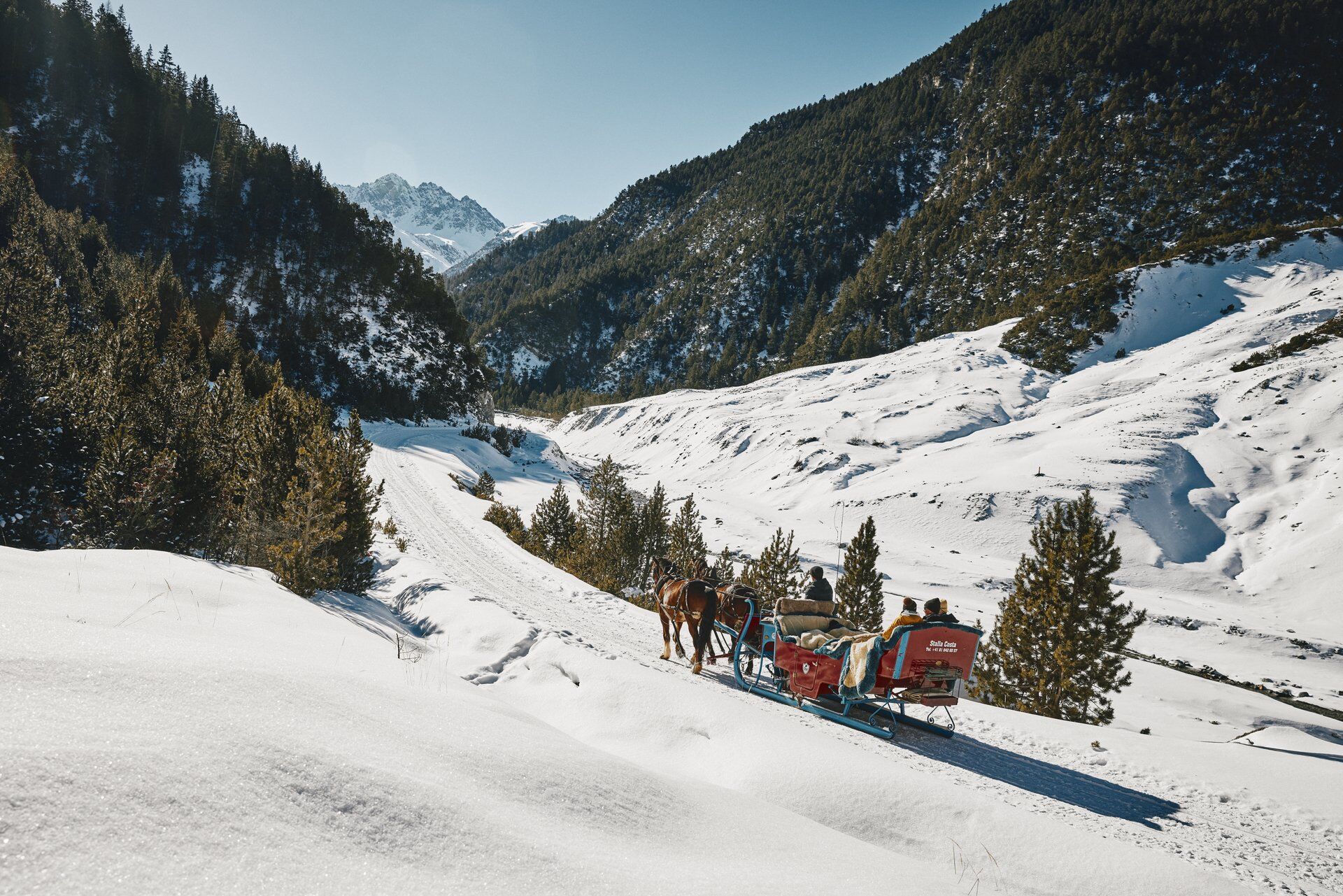
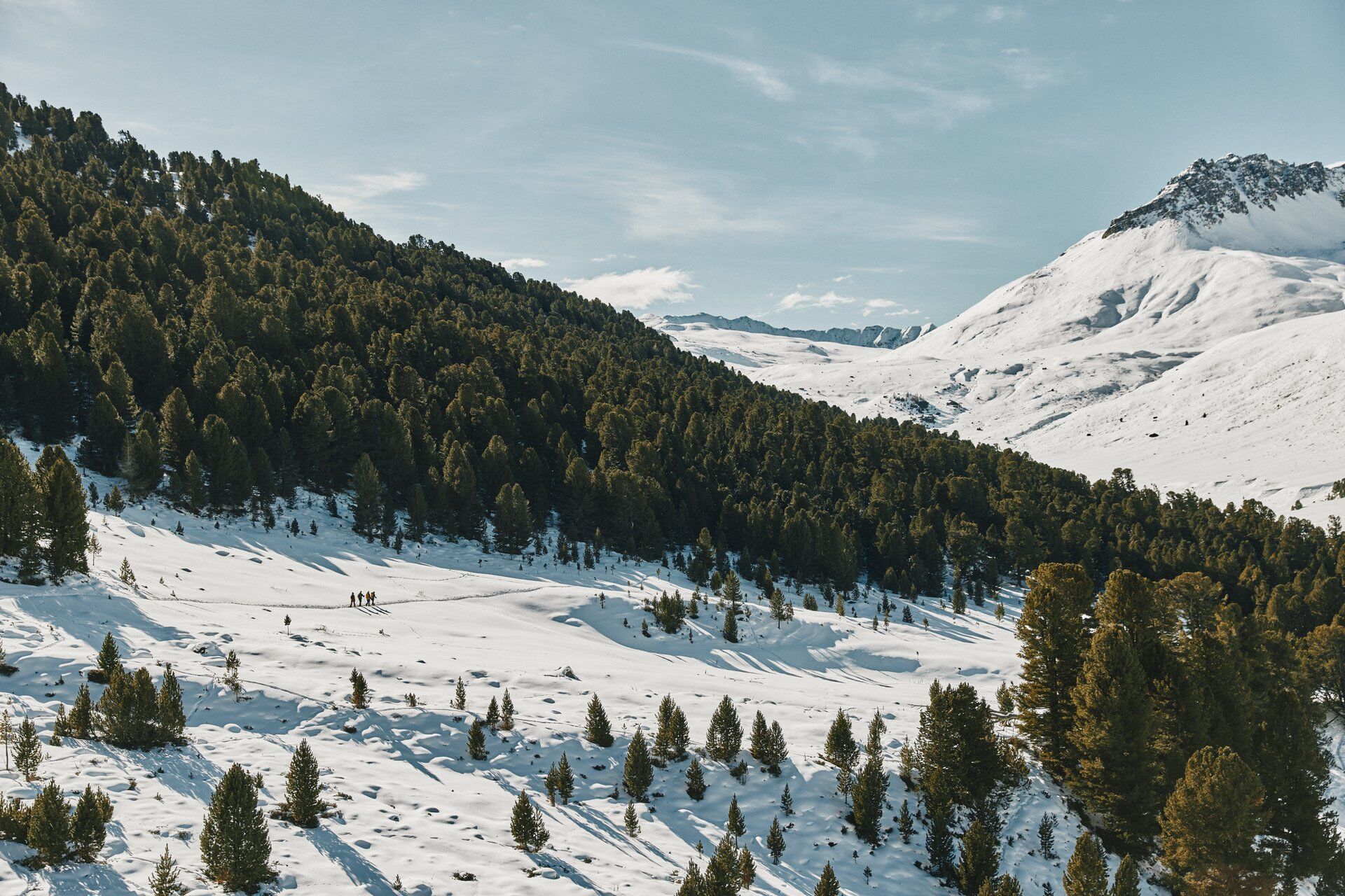
The starting point of the first stage is the small Engadine village of S-charl. This place can be reached in winter only by horse-drawn carriage, which shuttles daily between Scuol and S-charl. The route starts at the Mayor inn. Shortly after leaving the village, it goes parallel to the course of the Clemgia river, always slightly ascending towards the south. In the course of the route you pass the Alp Astras and the God da Tamangur, the highest continuous Swiss stone pine forest in Europe at 2,300 m above sea level, before reaching the highest point of the day, the Pass da Costainas. Afterwards, the descent takes place past Alp Champatsch to the small village of Lü in Val Müstair, the end point of this tour.
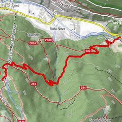
The second stage starts in the small village of Lü in Val Müstair. From the western end of the village, an alpine pasture path leads on a pleasant incline in the direction of Alp Champatsch. The alp lies a bit to the west in the wide valley basin at the foot of the Pass da Costainas. It is managed in winter and is a good place for wildlife watching. After the hut we leave the winter hiking trail and head north on the eastern flank of the Minschun. We then continue over the Fuorcla Funtana da S-charl to the Alp da Munt, a serviced hut in the small ski area of Val Müstair. From here, the route continues westwards, always at the same altitude, in the direction of the Ofen Pass. At Plaun dals Bovs you have to cross the Ofenpass road and follow the winter hiking trail to Hotel Süsom Give. The small final climb takes about 20 minutes.
- Directions
-
From S-charl along the river to Alp Astras
Then straight on to the Pass da Costainas
Descent towards Lü
Ascent from Lü on the winter hiking trail to Alp Champatsch
Then off the hiking trail over the Fuorcla Funtana da S-charl to Alp da Munt
From Alp da Munt further west to Plaun dal Bovs
Crossing the Ofenpass road and continuing on the winter hiking trail to the top of the pass
- Highest point
- 2,390 m
- Endpoint
-
Ofenpass, Val Müstair
- Height profile
-
 © outdooractive.com
 - Equipment
-
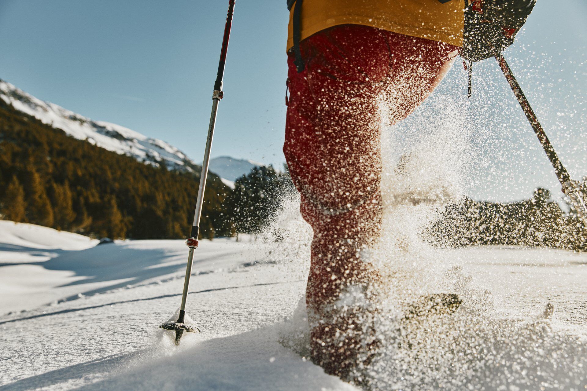
Winter clothing, snowshoes, poles, food, avalanche transceiver, shovel and probe
- Safety instructions
-
Snowshoe tours are undertaken at your own responsibility. The route is not marked. We recommend consulting the avalanche report (www.slf.ch) before starting the tour.
- Additional information
-
The tour was evaluated in favorable weather conditions, current weather conditions and weather forecasts are mandatory to follow before starting the tour.
Emergency call:
144 Emergency, first aid I 1414 Mountain rescue REGA I 112 International emergency call
- Public transportation
-
With the Rhaetian Railway from Chur, Landquart/Prättigau to Scuol-Tarasp. From the train station, a shuttle will take you to the departure point of the horse-drawn sleighs, which will then take you to S-charl or to the Gasthaus Mayor. The shuttle or the horse-drawn sleigh must be reserved in advance.
- Parking
-
Free parking is available in Scuol at the Gurlaina ice rink. From the parking lot a shuttle will take you to the departure point of the horse-drawn sleighs, which will then take you to S-charl or to the Gasthaus Mayor. The shuttle or the horse-drawn sleigh must be reserved in advance.

- Author
-
The tour Snowshoe tour from S-charl via Lü to Ofenpass is used by outdooractive.com provided.