


- Brief description
-
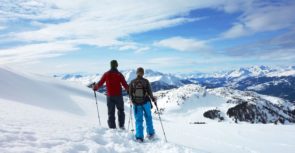
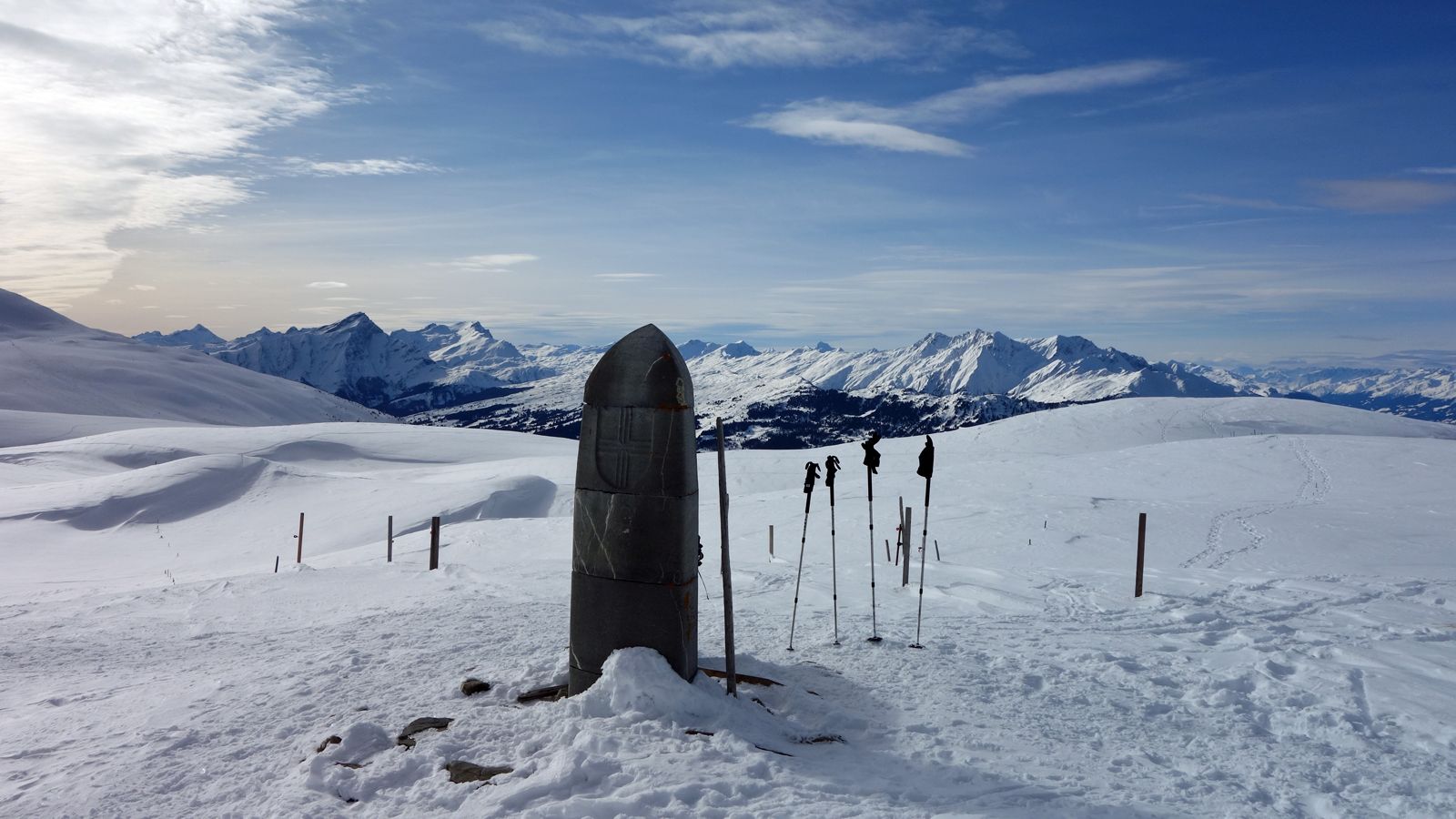
Tour with a panorama: the varied Dreibündenstein plateau connects the winter sports regions of Brambrüesch and Feldis. Impressive: the well visible Glarus thrust, a UNESCO World Heritage site.
- Difficulty
-
medium
- Rating
-
- Starting point
-
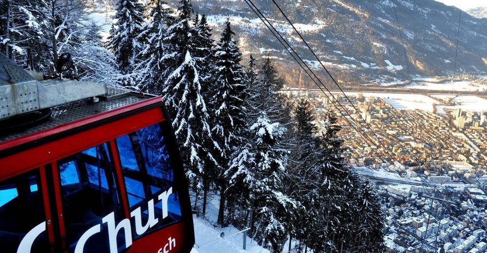
Brambrüesch, mountain station of the gondola
- Route
-
Chur (593 m)Brambrüesch (1,595 m)0.0 kmBrambrüesch0.2 kmberg.baiz0.6 kmHühnerköpfe3.1 kmFurggabüel4.2 kmDreibündenstein (2,160 m)4.5 kmMutta (1,972 m)7.8 km
- Best season
-
AugSepOctNovDecJanFebMarAprMayJunJul
- Description
-
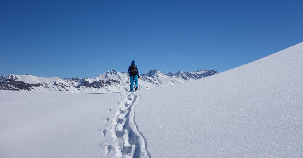
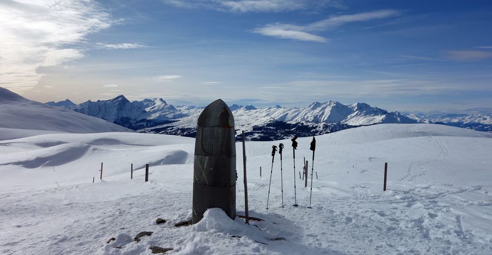
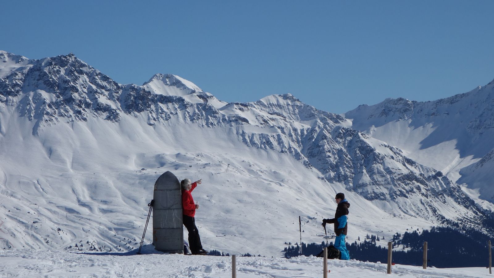
This trail from Brambrüesch to Feldis – or the other way around – leads over the gentle plateau with many vistas around the Dreibündenstein. At the stone monument of the former Three Leagues of Rhaetia, you can admire a 360-degree panorama extending from the town’s home mountains surrounding Chur, the Arosa and Lenzerheide, up to the Glarus Alps.
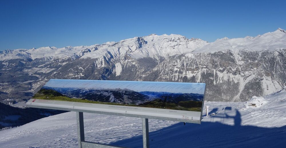
Well visible on the Ringelspitz, lying opposite and reaching up to the Flims Mountains (Segnes, Tschingelhörner) is the UNESCO World Heritage site «Tektonikarena Sardona» (Glarus thrust). In this area, processes of the formation of the Alps can be seen particularly well. The central element is the Glarus main thrust fault, which is as sharp as a blade in an area where older rocks were thrust over the younger material when the Alps formed. The panorama info board at the highest point of the hike (Furggabüel, 2174 m above sea level) provides information about the World Heritage site and all names and altitudes of the surrounding mountain peaks.
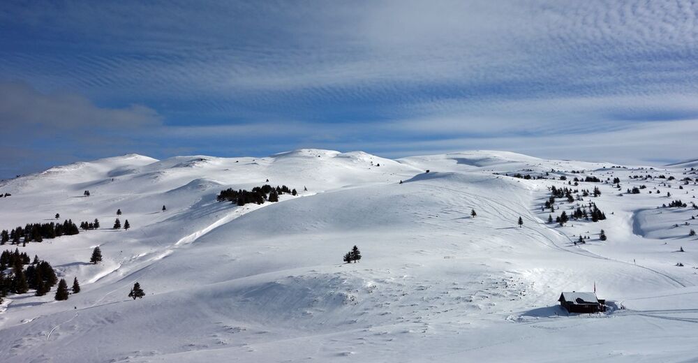
The descent leads along idyllic landscapes with snow-covered forests and Alp settlements to Mutta, where you can take a comfortable ride on the chairlift to Feldis. The terrace on the slope of the Stätzerhornkette is the northern-most location in the mountain villages of the Domleschg. Cozy restaurants with sun terraces can be found in Brambrüesch, Mutta, and Feldis for enjoyment and recreation.
- Highest point
- 2,167 m
- Endpoint
-
Mutta, top-station of the chairlift to Feldis
- Height profile
-
 © outdooractive.com
 - Additional information
-
Flexible snowshoe rentals are offered in Brambrüesch as well as in Feldis (rent on site / return at the destination). A special tour ticket can be purchased at the mountain cable cars, which along with all cable cars also includes the return trip to the place of departure by bus or railway. Please stay on the recommended route and stick to existing tracks (keep out of wildlife reserves).


-

-
AuthorThe tour 532 Brambrüesch-Feldis Trail (GR 1) is used by outdooractive.com provided.

General info
-
Heidiland
116
-
Chur und Rheintal
60
-
Chur - Brambrüesch
14


