
- Brief description
- Difficulty
-
medium
- Rating
-
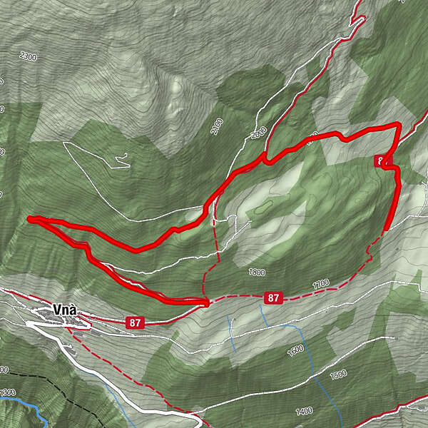
- Starting point
-
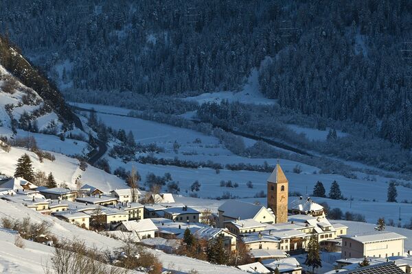
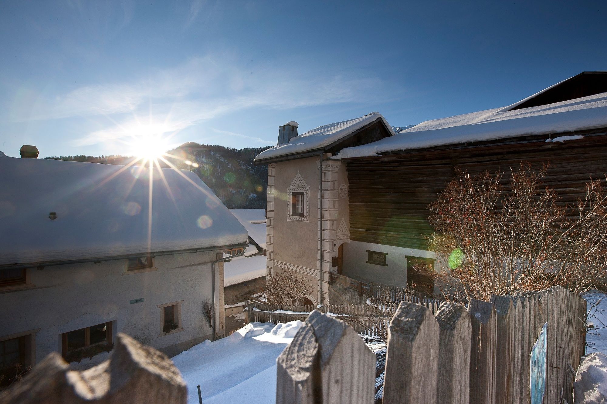
Chant Sura
- Route
-
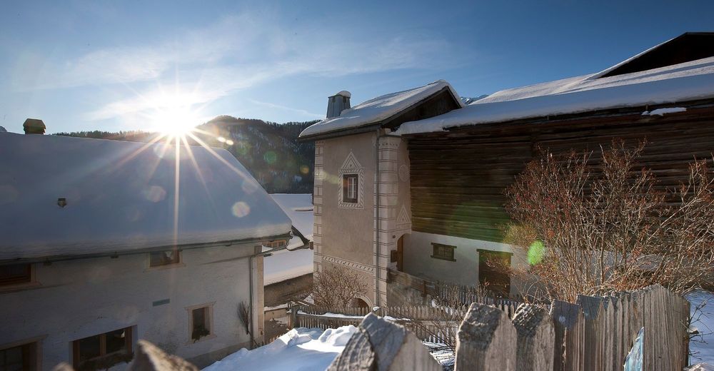
Vnà3.8 km
- Best season
-
AugSepOctNovDecJanFebMarAprMayJunJul
- Description
-
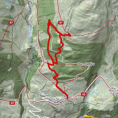
The snowshoe tour Ramosch – Tulai – Vnà – Ramosch can be extended with this variant. It leads through the forest up to Palapan. There you have a wonderful view of the surrounding mountains. Then it goes back down through the quiet forest to Prazif.
- Directions
-
At Chant Sura, follow the summer road further up instead of following Via Engiadina straight on
Continue along the road until you reach a fork. A path continues up to Alp Discholas. However, we continue to follow the path in the direction of Vnà.
Now follows a rather flat part of the tour
At the next junction, «Palapan», you can admire the beautiful Lower Engadine mountains
Afterwards, the trail continues to descend gently
The path winds through the quiet forest until you reach a clearing
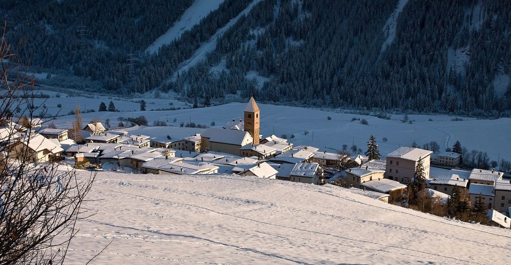
Here is Prazif, where the regular snowshoe route along the Via Engiadina also reaches its end point
The trail then continues according to the Ramosch – Tulai – Vnà – Ramosch snowshoe route to Vnà and on to Ramosch - Highest point
- 1,955 m
- Endpoint
-
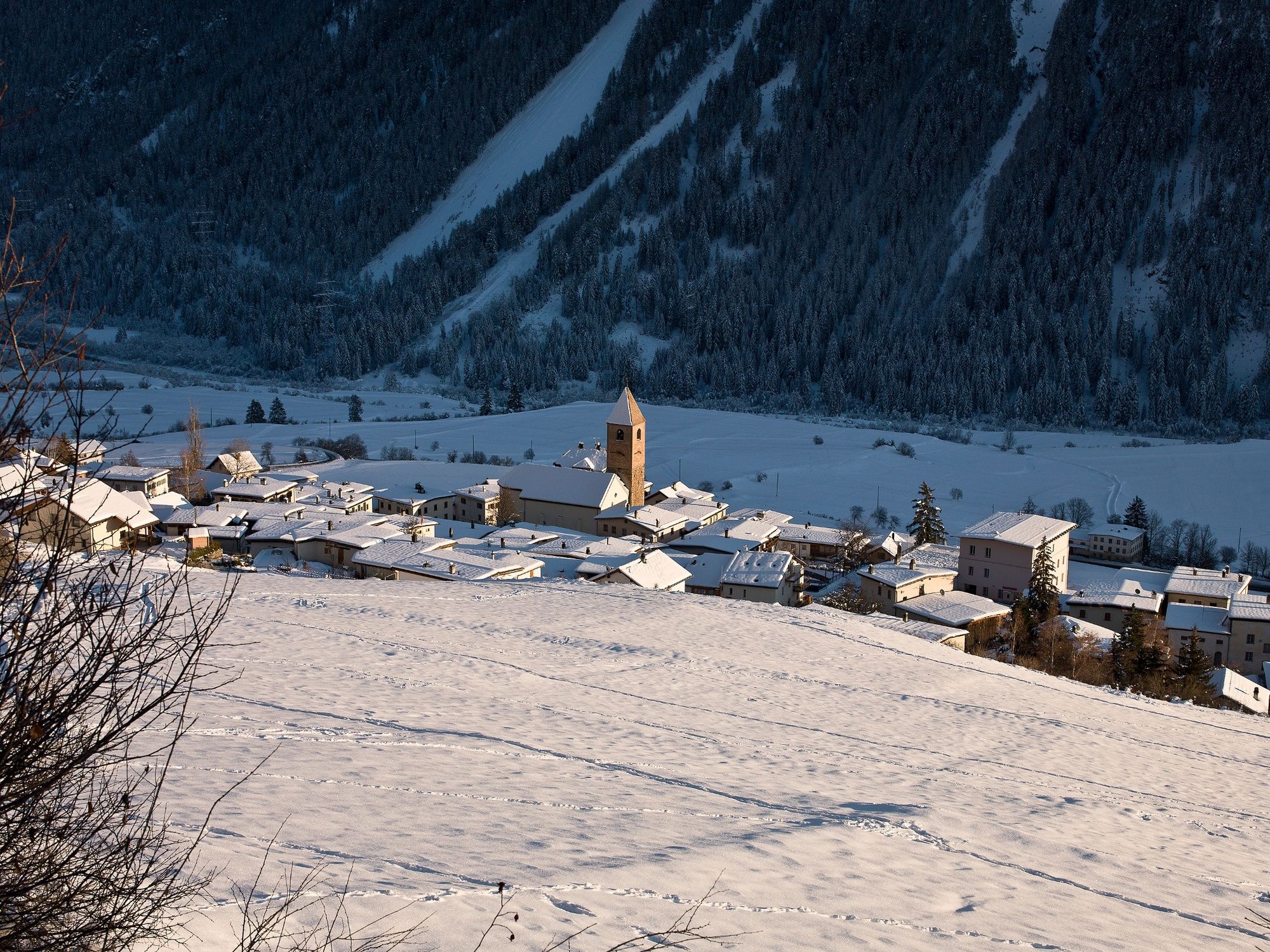
Prazif
- Height profile
-
 © outdooractive.com
 - Equipment
-
Snowshoe equipment, high and sturdy hiking boots or winter boots, warm clothing, sun protection
- Safety instructions
-
Attention:
Snowshoe tours are undertaken at your own responsibility. The route is NOT signalled and NOT prepared. We recommend consulting the avalanche report (www.slf.ch) before starting the tour. In addition, the game rest zones must be observed.
The tour was assessed in favourable weather conditions, the current snow and weather conditions must be taken into account before starting.
Emergency call:
144 Emergency call, first aid
1414 Mountain rescue REGA
112 International emergency call
- Tips
-
The Engadin Scuol Zernez holiday region has a lot to offer. We reveal our insider tips at engadin.com/secret-tips, but shhh...!
- Additional information
- Directions
-
- From the north: via Landquart - Klosters by car transport through the Vereina Tunnel (Selfranga - Sagliains) or via the Flüela Pass into the Lower Engadine on H27.
- From the east: via Landeck / Austria in the direction of St. Moritz on H27
- From the south: via Reschenpass (Nauders-Martina) or Ofenpass (Val Müstair-Zernez) on H27
Vnà can be reached from the Engadine road H27 from Ramosch Fermada in 5 minutes by car.
- Public transportation
-
- By Rhaetian Railway (from Chur, Landquart/Prättigau or from the Upper Engadine) hourly to Scuol-Tarasp
- By PostBus (from Scuol, Martina, Sent, Ftan, Tarasp) hourly to Ramosch, Fermada
- Direct PostBus connection from Ramosch, Fermada to Vnà, Jalmèr
- Parking
-
- Free parking available at the Florinus church in Ramosch
- Free parking available directly at the Vnà bus stop
- Author
-
The tour Chant Sura – Palapan – Prazif is used by outdooractive.com provided.


General info
-
Vinschgau
72
-
Engadin Scuol Zernez
29
-
Ramosch-Vnà
11