
- Brief description
-
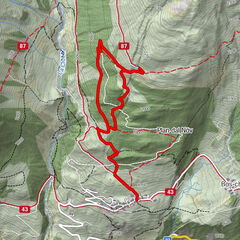
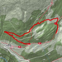
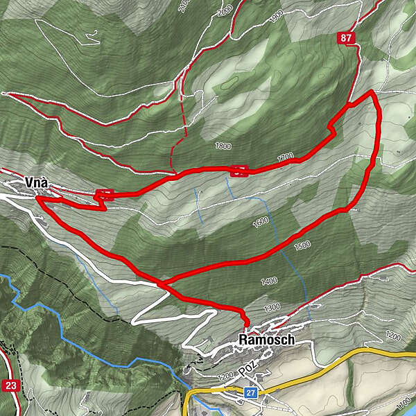
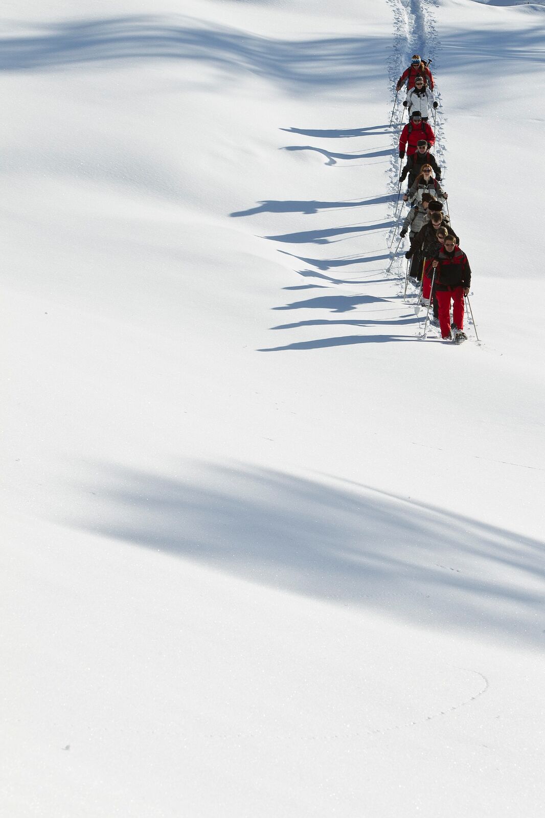
On the sunny slope high above the Inn valley, the snowshoe route, which is rather steep at the beginning, leads through open terrain from Ramosch to Vnà and back again through the forest.
- Difficulty
-
medium
- Rating
-
- Starting point
-
Ramosch
- Route
-
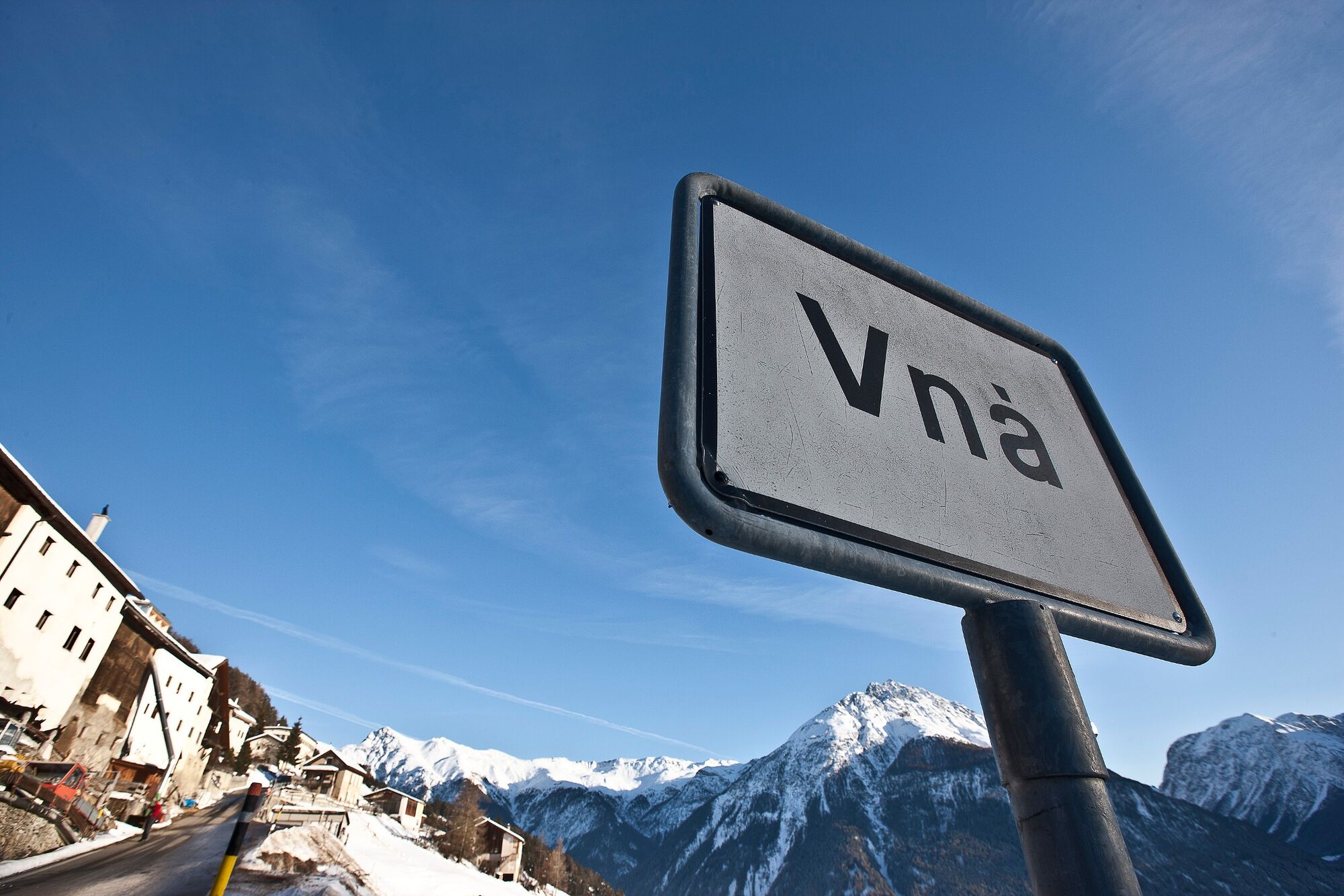
Ramosch (1,236 m)Vnà5.2 kmBaselgia refuormada da Vnà5.4 kmRamosch (1,236 m)7.0 km
- Best season
-
AugSepOctNovDecJanFebMarAprMayJunJul
- Description
-
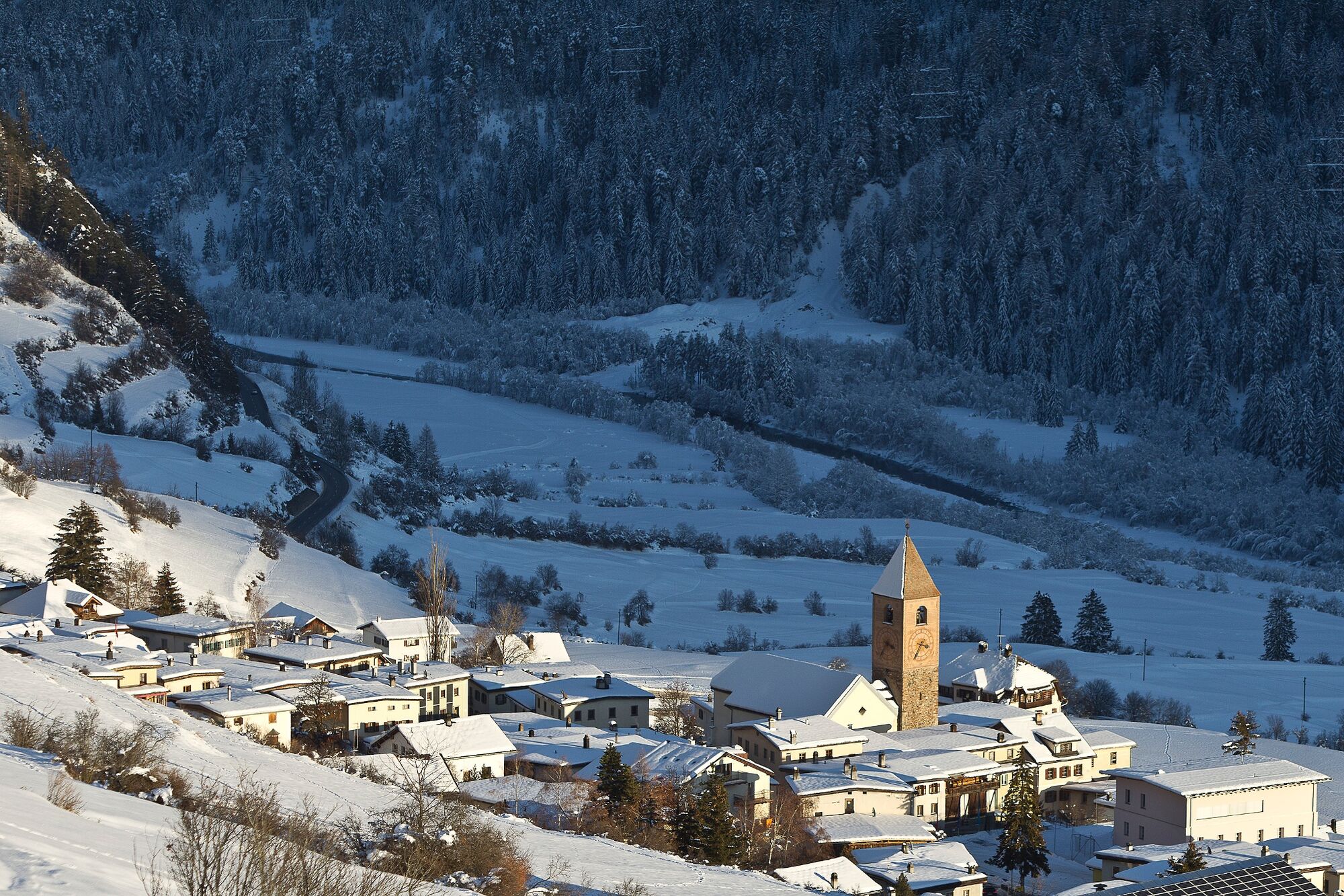
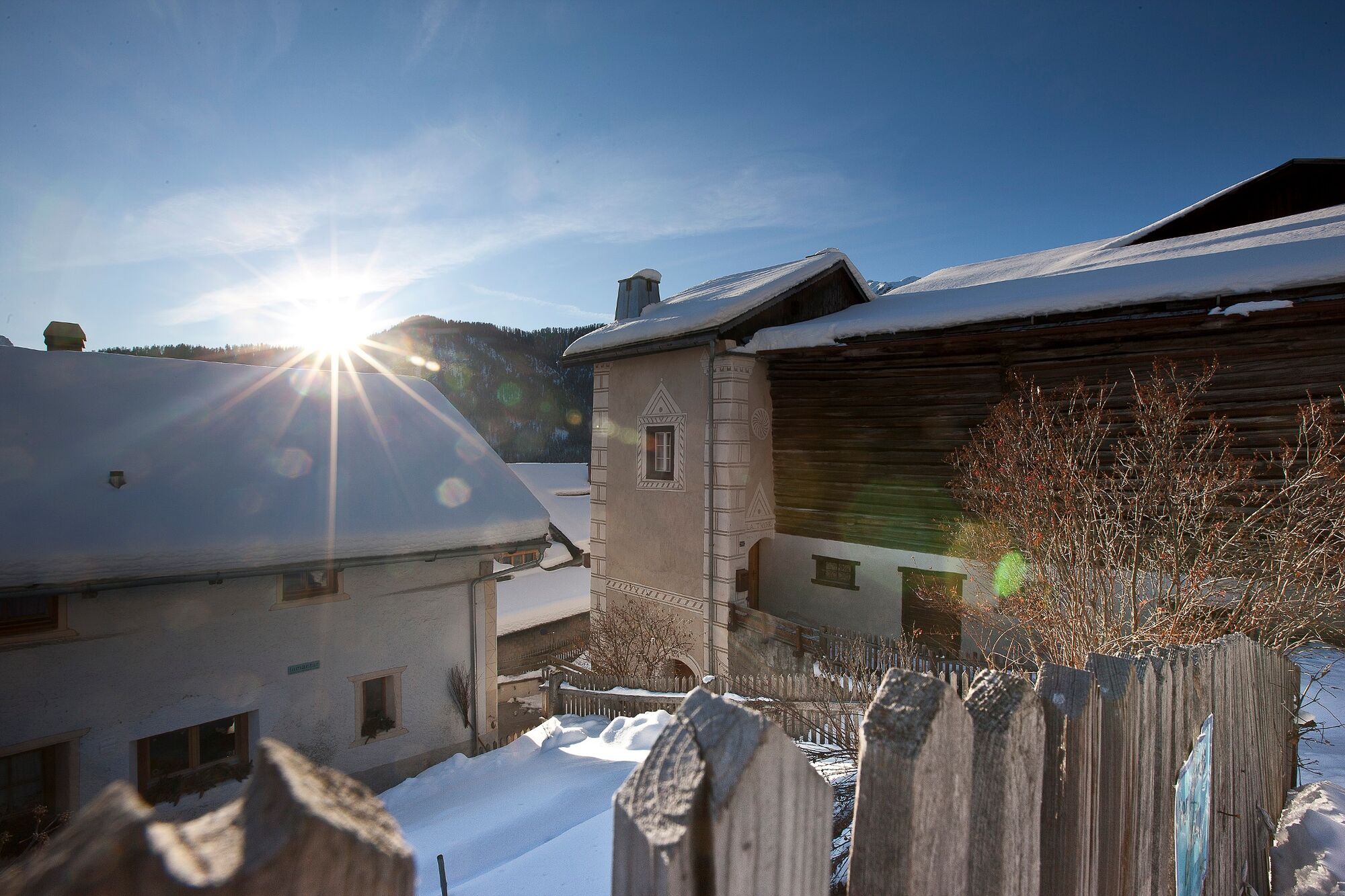
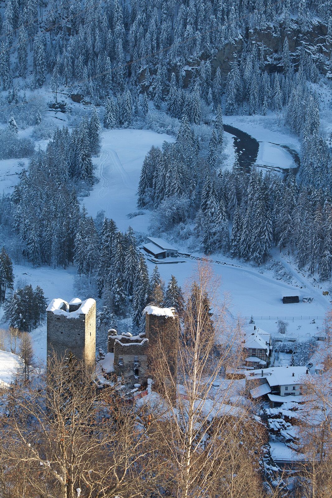
The snowshoe tour starts in Ramosch, which is characterised by its old Roman road. It is one of the driest places in Switzerland and is considered the warmest Engadine village in the summer. The mild climate and good soil conditions once made Ramosch and the higher-lying Vnà the granary of the Engadine. On the slopes surrounding Ramosch, the terraced steps used to irrigate the fields still bear witness to this today. From Ramosch, the route follows the aforementioned terraces eastward uphill. On the way there you will enjoy an impressive mountain panorama from Val d'Assa over Val d'Uina to the Sesvenna group south of Scuol. The last stretch to Vnà leads through the forest. The sunny and panoramic location of the village invites you to take a break after the steep ascent. The village museum Vnà and the "dicziunari rumantsch" – a walkable dictionary – make a village tour in Vnà a wonderful experience. On small signs attached to the houses, expressions in four languages (Romansh, Italian, German, English) can be compared. The snowshoe tour then leads directly back to Ramosch. The legendary and listed Tschanüff castle ruin is always in view. Along with Tarasp Castle, it was the most important fortress in the Lower Engadine for a long time and characterises the village landscape just as much as the Reformed Florinus Church. The late-Gothic sacred building has room for 450 people, which makes the church – after St. Martin's Church in Chur – the second largest in the canton.
- Directions
-
Ab Ramosch zuerst sehr steil über die Abkürzung - oder über die Fahrstrasse bis zur zweiten Linkskurve nach Vnà - hinauf bis zum Einstieg.
Ab hier durch den Wald gleichmässig steigend Richtung Erms.
Kurz vor Erms dann die Wiese hinauf zum Wanderweg bei Runai.
Die Strasse überqueren und weiter hinauf bis man zur nächsten Strasse gelangt.
Dort geht man im und entlang dem Wald (Via Engiadina) Richtung Vnà.
Man kommt aus dem Wald raus und ist in Prazif.
Dort den Wanderweg folgen bis zu einem Stall bei einer Verzweigung.
Dort runter ins Dorf bei der Bushaltestelle Vnà, Jalmèr.
Hier kurz der Autostrasse ein Stück hinunter bis zu einer Kreuzung (unterhalb der Kirche)
Hier dann links runter zu einem Stall.
Unterhalb vom Stall führt es zuerst über Wiesen und dann hinab im Wald.
Nach einer Weile gelangt man wieder zum Startpunkt der Tour (via dad Erms).
Hier folgt man dem Pfad wieder hinunter nach Ramosch.
- Highest point
- 1,737 m
- Endpoint
-
Ramosch
- Height profile
-
 © outdooractive.com
 - Equipment
-
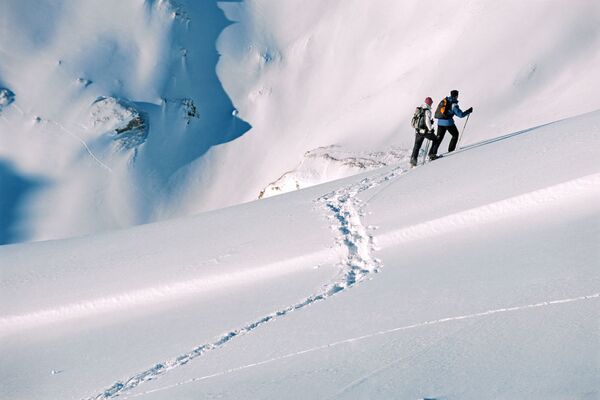
Snowshoe equipment, high and sturdy hiking boots or winter boots, warm clothing, sun protection.
- Safety instructions
-
Snowshoe tours are undertaken at your own responsibility. The route is not marked. We recommend consulting the avalanche report (www.slf.ch) before starting the tour.
Attention: Respect game rest zones.
The tour has been assessed in favourable weather conditions, the current snow and weather conditions must be taken into account before setting off.
Emergency call:
144 Emergency call, first aid
1414 Mountain rescue REGA
112 International emergency call
- Tips
-
"Walkable dictionary" Vnà as a village tour
2nd largest Reformed Florinus Church in Ramosch
- Directions
-
- From the north: via Landquart - Klosters by car transport through the Vereina Tunnel (Selfranga - Sagliains) or via the Flüela Pass into the Lower Engadine on H27.
- From the east: via Landeck / Austria in the direction of St. Moritz on H27
- From the south: via Reschenpass (Nauders-Martina) or Ofenpass (Val Müstair-Zernez) on H27
Vnà can be reached from the Engadine road H27 from Ramosch Fermada in 5 minutes by car.
- Public transportation
-
- By Rhaetian Railway (from Chur, Landquart/Prättigau or from the Upper Engadine) hourly to Scuol-Tarasp.
- By PostBus (from Scuol, Martina, Sent, Ftan, Tarasp) hourly to Ramosch, Fermada
- Direct PostBus connection from Ramosch, Fermada to Vnà, Jalmèr
- Parking
-
- Free parking available at the Florinus church in Ramosch
- Free parking available directly at the Vnà bus stop
- Author
-
The tour Ramosch – Tulai – Vnà– Ramosch is used by outdooractive.com provided.


General info
-
Vinschgau
72
-
Engadin Scuol Zernez
29
-
Ramosch-Vnà
11