


- Brief description
- Difficulty
-
easy
- Rating
-
- Starting point
-
Lavin railway station (1747 m)
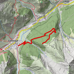
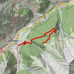
- Route
-
Charnadüras0.1 kmLavin (1,412 m)2.0 km
- Best season
-
AugSepOctNovDecJanFebMarAprMayJunJul
- Description
-
From the train station the path leads in the direction of the church to the eastern end of the village. The railway line and Engadinerstrasse are underpassed at the underpass. Here begins the ascent over 300 meters of altitude difference to Charnadüras. At the first turn-off after the last farm in Lavin, follow the signs to the right to Charnadüras. Always following the path, you will pass through the forest over several hairpin bends. At the clearing at point 1609 the view opens up to Lavin and the Lower Engadine down towards Guarda and Ardez. After two more hairpin bends you leave the forest and reach the clearing of Charnadüras. At the point where the terrain becomes flatter and the prepared winter hiking trail ends, the descent begins on the same path as the ascent. Be especially careful of the 180-degree bends, as these are preceded by long descents. A special feature of this toboggan run is that you can practically drive all the way to the village and the way to the restaurants, hotels and the railway station is not far away.On the Schilttelweg there is also a barbecue area that can be used all year round. Here you have a great view and there is a hut to sit inside.
- Directions
-
From Lavin station towards the church and the eastern end of the villageUnderpassing of railway tracks and roadFollow the path to the last farmAt the turn-off follow the signs to the right to CharnadürasFollow the road to CharnadürasDescent same as ascent
- Highest point
- 1,744 m
- Endpoint
-
Lavin station
- Height profile
-
 © outdooractive.com
 - Equipment
-
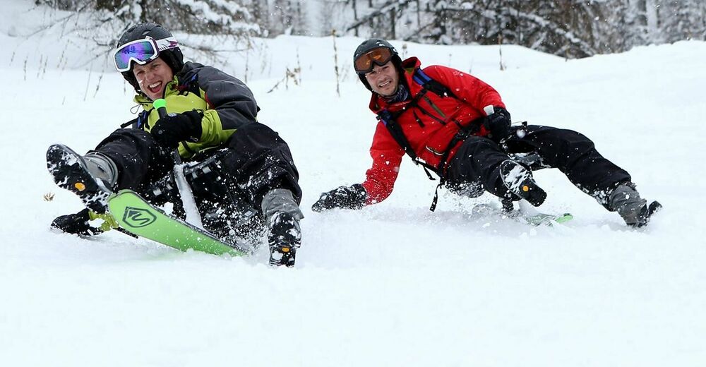
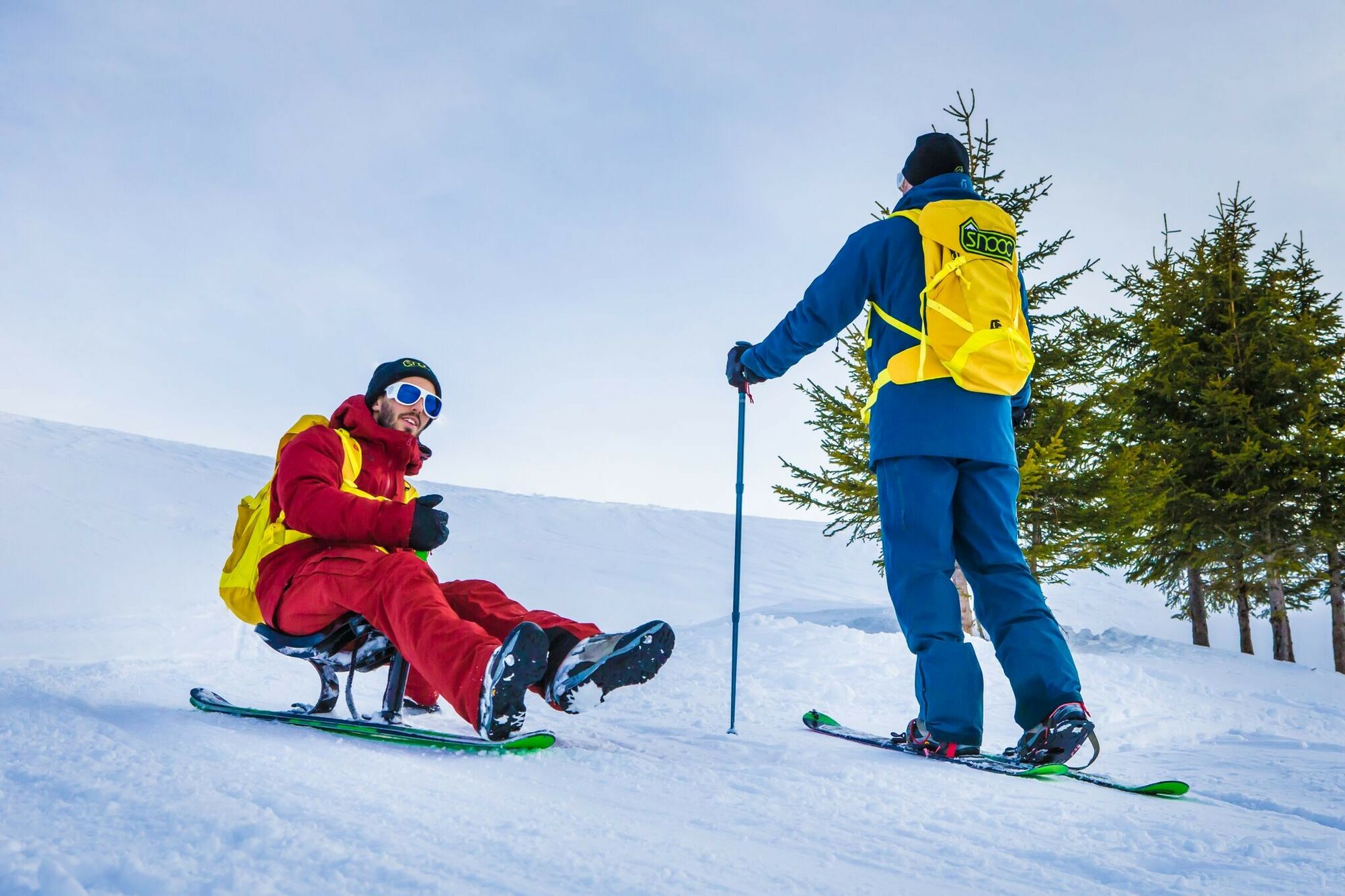
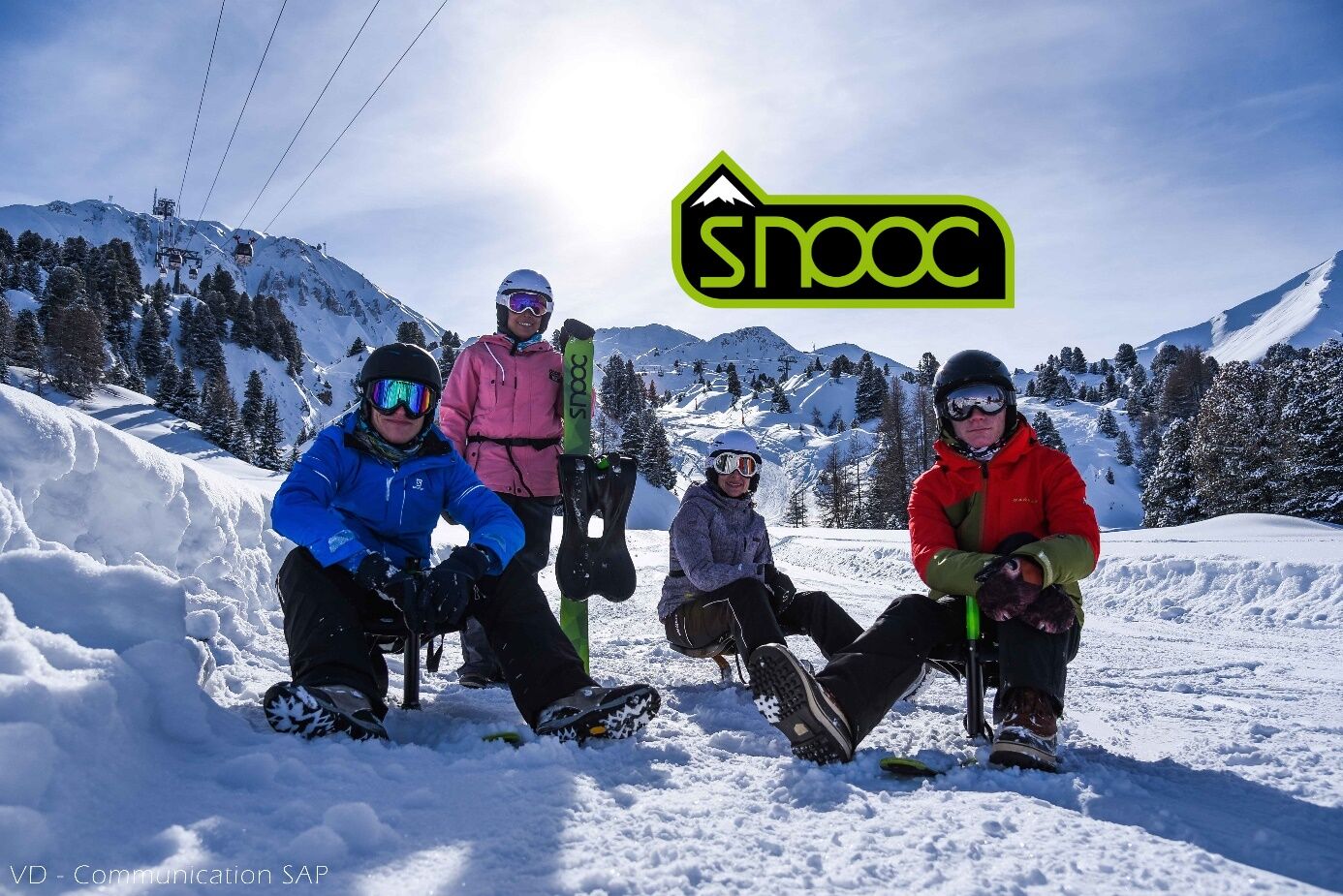
You need a SNOOC, a pair of good waterproof shoes and a quality wetsuit.For the SNOOC snowshoe sledge descent, consider a mask and scarf for the face and gaiters to prevent the snow from coming up.in the pants. Back protection is recommended.Information on SNOOC equipment, click on this link: snooc.ski
- Safety instructions
-
As with tobogganing, snowshoeing and ski touring, check theweather and snow conditions before committing yourselfin SNOOC snowshoe sledge.
In case of any problem call
112 Euro emergency call (works with any mobile/network)
- Tips
-
Remember to book your Snooc in advance at the resort
Volg lavin
+41 81 860 35 67
or buy it directly on snooc.ski
- Additional information
- Directions
-
From the north: via Landquart - Klosters by car transport through the Vereina tunnel (Selfranga - Sagliains) or over the Flüela pass into the Lower Engadine on H27
From the east: via Landeck / Austria in the direction of St. Moritz on H27
From the south: via Reschenpass (Nauders-Martina) or Ofenpass (Val Müstair-Zernez) on H27Lavin is located directly on the Engadine road H27 (2 minutes drive from Veraina south portal)
- Public transportation
- Parking
-
Paid parking at the Lavin railway station


- Author
-
The tour SNOOC - Toboggan run Charnadüras - Lavin is used by outdooractive.com provided.