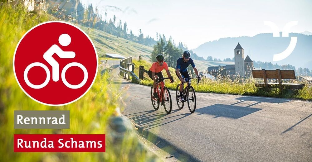


- Brief description
-
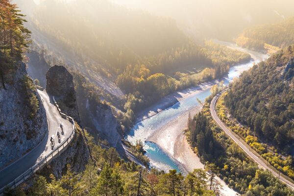
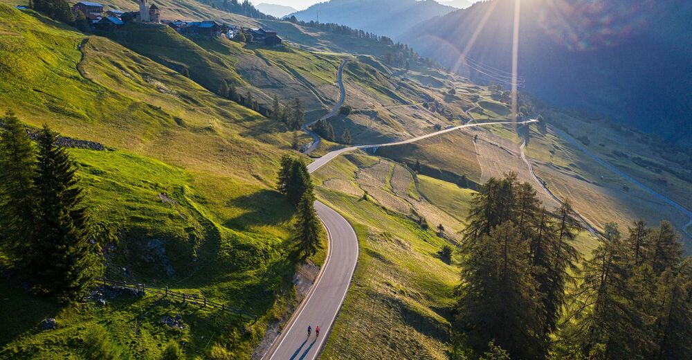
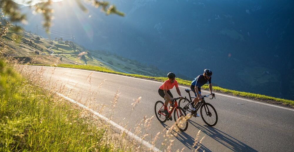
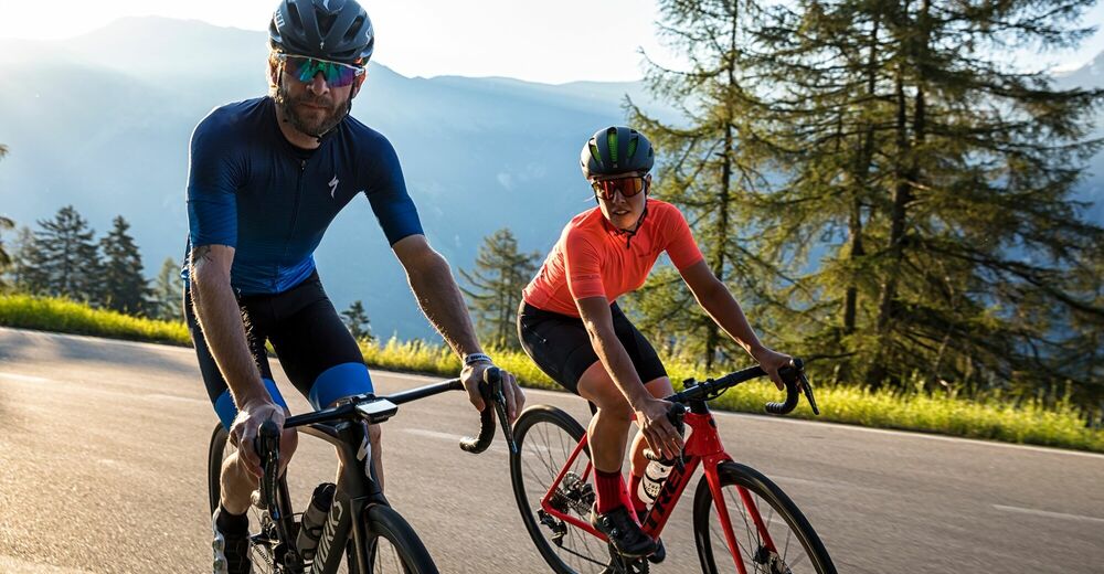
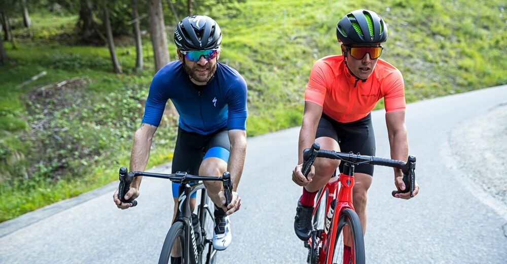
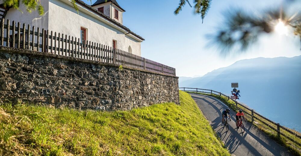
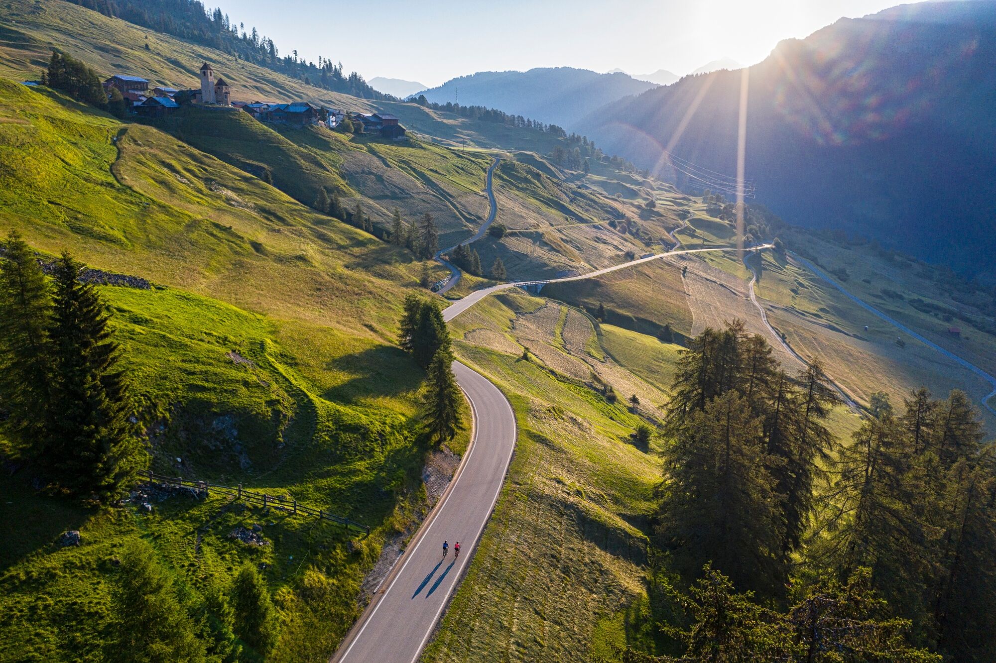
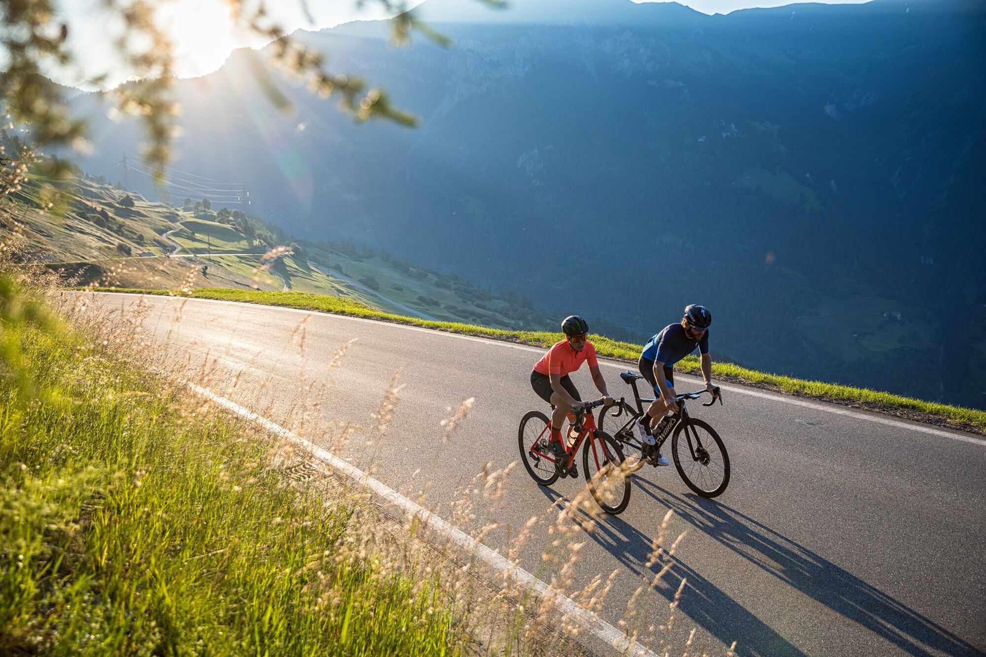
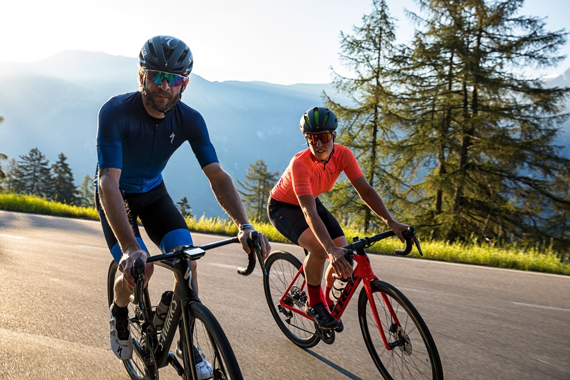
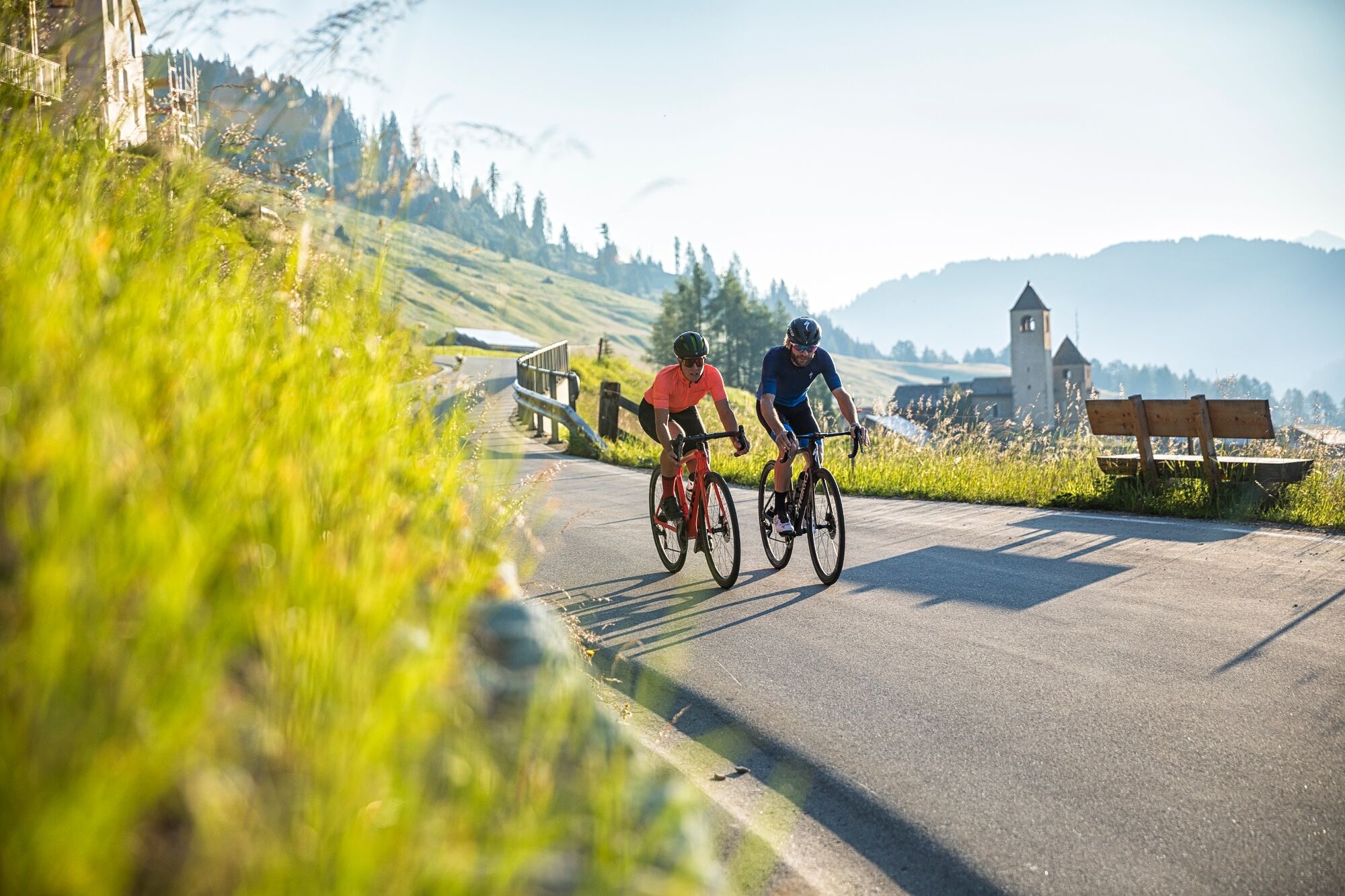
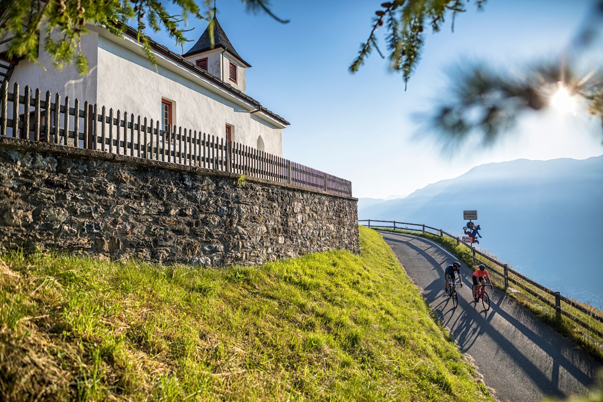
An absolute secret tip on the eastern side of the striking Piz Beverin: Racing bike lover, what more could you desire? The climb to the mountain village of Lohn is rhythmic and fun. The panorama road has some proper bends after Wergenstein. The descent is on a narrow agricultural road through aromatic mountain meadows.
- Difficulty
-
easy
- Rating
-
- Route
-
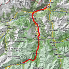
St. MartinZillis (945 m)0.1 kmDonat1.9 kmReformierte Kirche1.9 kmPazen3.0 kmFarden3.7 kmPizzeria Orta8.6 kmRestaurant Muntsulej10.2 kmMathon (1,527 m)10.5 kmFardün11.0 kmFaros12.8 kmWergenstein12.9 kmEvangelische Kirche12.9 kmSegl12.9 kmHotel Restaurant Capricorns13.1 kmProsalur14.7 kmCasti15.6 kmCurtgegns15.7 kmDonat16.6 kmTurclagn16.6 kmClugin18.4 kmBaselgia refurmada18.8 kmSt. Martin21.7 kmZillis (945 m)21.7 km
- Best season
-
JanFebMarAprMayJunJulAugSepOctNovDec
- Description
-
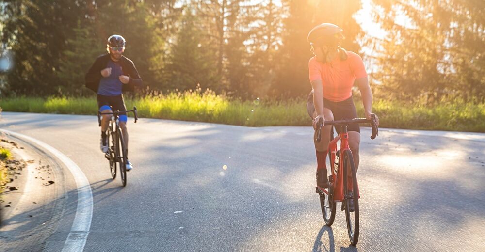
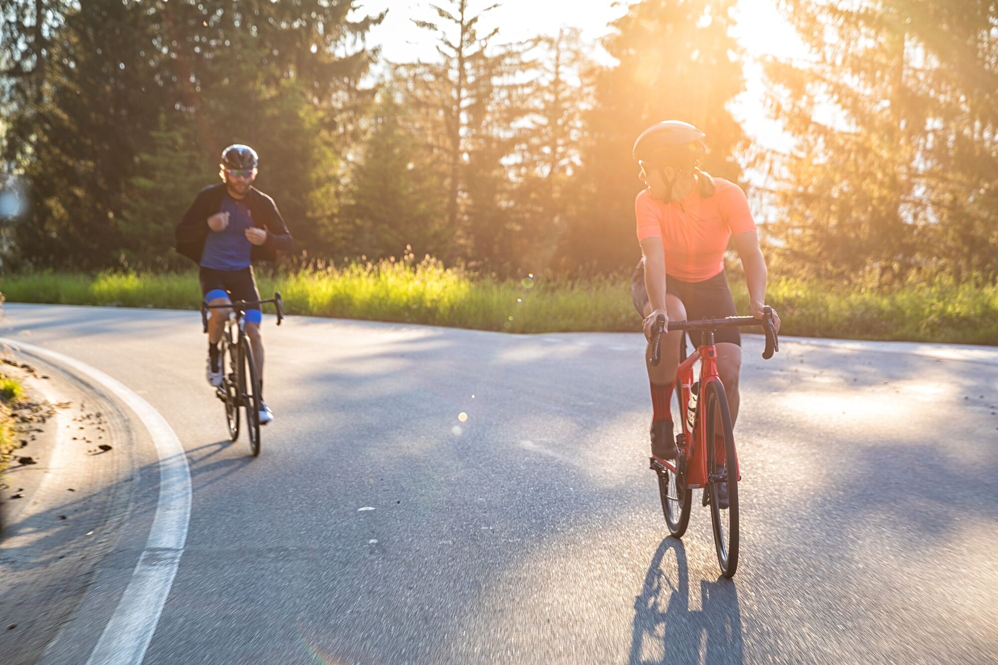
This racing bike tour starts in Zillis (944 MASL) and takes you through the villages of the Muntogna da Schons, known in German as the Schamserberg. You’re still warming up as far as Donat, but then you really get down to business with the rhythmic and entertaining climb up to Lohn (1,585 MASL). the climb is a secret tip, there is hardly anything nicer for the racing bike lover– perfect asphalt, fabulous bends, hardly any traffic. From Lohn, the panoramic road snakes to Mathon (1,555 MASL) and Wergenstein (1,486 MASL) with some fast bends and epic panoramas. A steep, tarmacked agricultural road brings you to Casti (1,170 MASL). At the entrance to the village of Donat, the route turns off to the right and leads you via an impressive wooden bridge to Clugin (1,006 MASL) and finally back into the valley to the Hinterrhein. You can warm down pleasantly on the Rhine cycle path to your start point in Zillis.
- Highest point
- 1,588 m
- Height profile
-
 © outdooractive.com


-

-
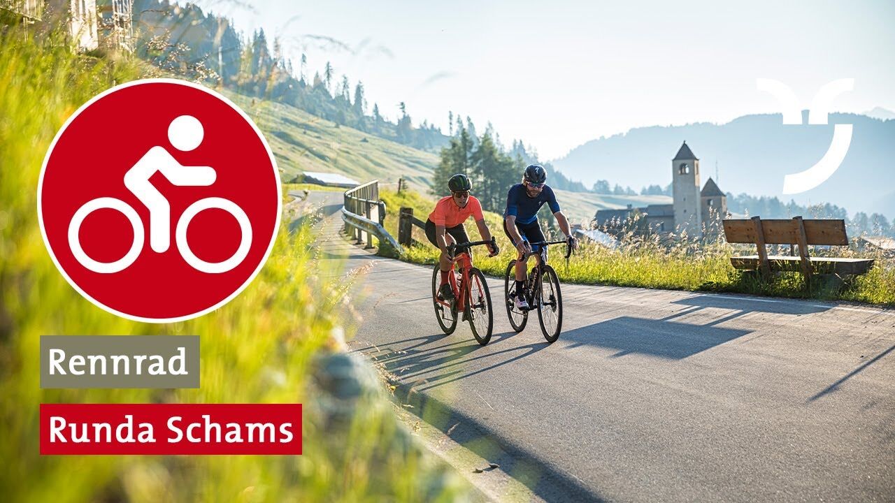
AuthorThe tour Runda Schams is used by outdooractive.com provided.


-
Viamala
14
-
Val Schons
3