- Brief description
-
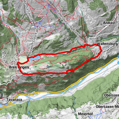
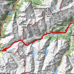
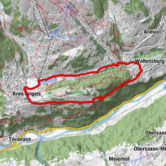
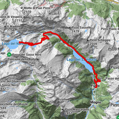
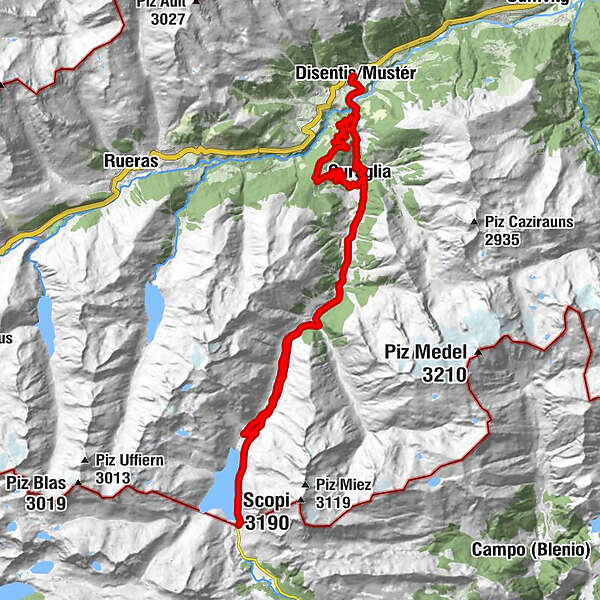
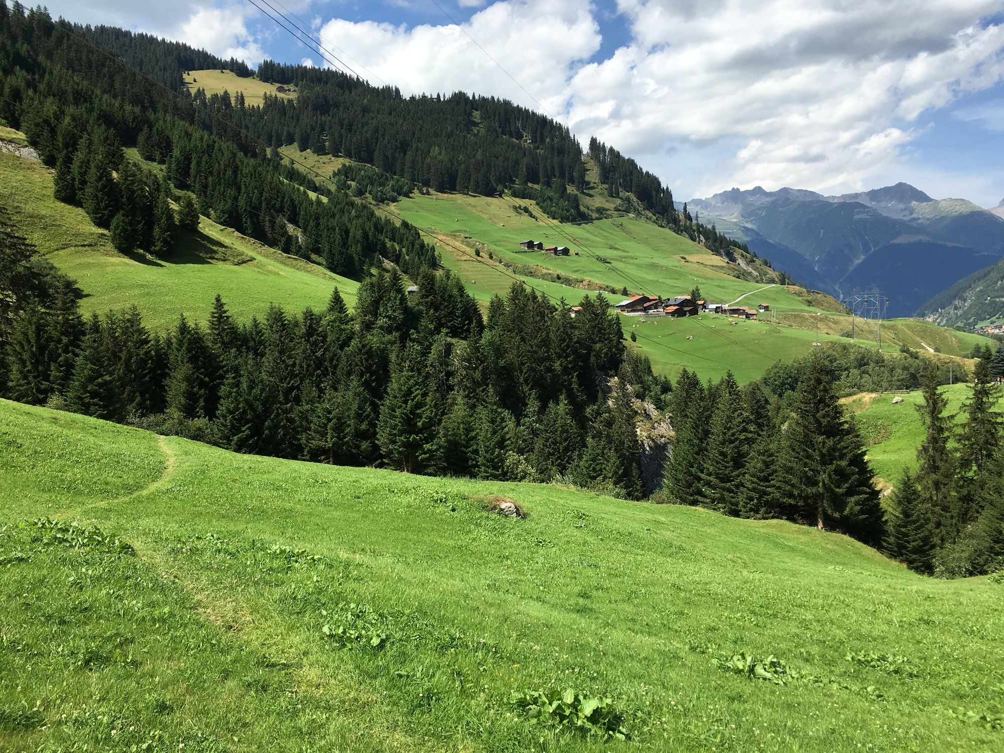
Through the Rein da Medel gorge up to the Santa Maria reservoir dam on the Lukmanier Pass
- Difficulty
-
medium
- Rating
-
- Route
-
RaverasDisentisTgaquatsch2.8 kmSum Crusch4.0 kmMumpé Medel4.1 kmBegl Sogn Martin4.7 kmTegias da Ragisch5.7 kmMutschnengia10.2 kmCuraglia12.1 kmPlatta13.7 kmBaselgia S. Martin13.7 kmPardé14.7 kmFuorns16.1 kmCascada Fimatsch17.3 kmPardatsch Dadens18.2 kmSogn Gions18.7 kmHospezi S. Maria27.9 kmSogn Gions36.0 kmPardatsch Dadens36.4 kmCascada Fimatsch37.2 kmFuorns38.6 kmPardé40.0 kmPlatta40.8 kmBaselgia S. Martin40.9 kmCuraglia42.6 kmMumpé Medel45.1 kmDisentis47.7 kmRaveras47.7 km
- Best season
-
JanFebMarAprMayJunJulAugSepOctNovDec
- Description
-
From Disentis railway station we start on the cantonal road towards the Lukmanier Pass. Immediately at the turnoff to Mompé Medel, a long, cool tunnel awaits us, leading up to the village. Don't worry: there is hardly any traffic! And the asphalt stays with us until almost Stagias.
To Cavorgia and and to Mises las Cavorgias, we let it roll until we reach the lowest point on the Rhine. There is hardly any need for strength. But then it's uphill again. We cross the main road and as soon as we reach the village of Mompé Tujetsch, we reach the highest point again. The word Mompé, by the way, comes from "pede monte", and means: situated at the foot of the mountain.
On the descent to Disentis, it's okay to look around while driving.
- Highest point
- 1,977 m
- Endpoint
-
Disentis
- Height profile
-
 © outdooractive.com
-

-
AuthorThe tour E - Tourenbike: Disentis - Santa Maria Stausee - Disentis is used by outdooractive.com provided.


General info
-
Uri
73
-
Disentis Sedrun
22
-
Tujetsch
8