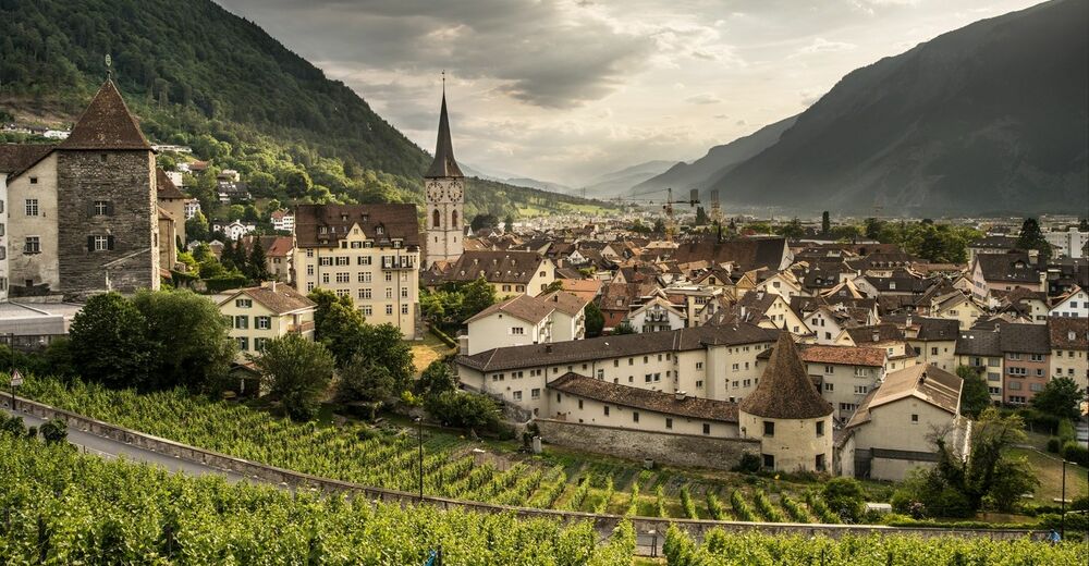
© Chur - Die Alpenstadt - Michael Christ

© Chur - Die Alpenstadt - Michael Christ

© Chur - Die Alpenstadt - Michael Christ

© Chur - Die Alpenstadt - Michael Christ

© Chur - Die Alpenstadt - Michael Christ
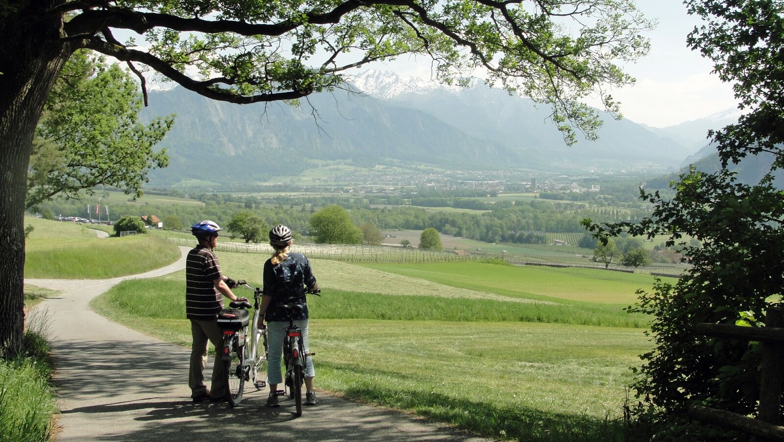
© Chur - Die Alpenstadt - Karin Bächer


- Brief description
-
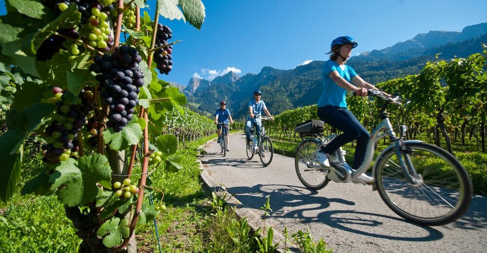
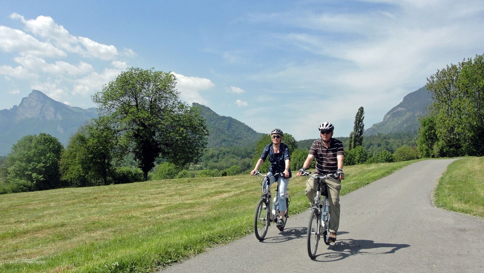
Wonderful round trip through the wine region of the Bündner Rheintal and Bündner Herrschaft.
- Difficulty
-
medium
- Rating
-
- Starting point
-
Chur, train station
- Route
-
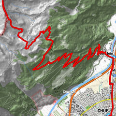
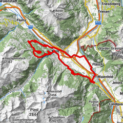
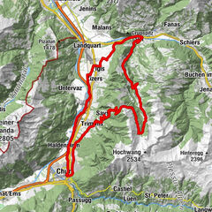
Chur (593 m)Loe Restaurant1.5 kmMasans2.5 kmTrimmis (637 m)6.4 kmKatholische Kirche Trimmis6.7 kmSportcenter Fünf Dörfer10.2 kmOberaurütenen10.4 kmZizers (561 m)12.1 kmBöfelihof13.1 kmIgis (563 m)14.7 kmErlahof15.7 kmPagolla19.1 kmGasthaus Krone20.0 kmZum Ochsen20.1 kmMalans (568 m)20.1 kmHotel Weiss Kreuz20.1 kmOberdorf20.3 kmReformierte Kirche Malans20.3 kmJenins (635 m)22.8 kmReformierte Kirche23.0 kmAmanduskirche25.5 kmMaienfeld (504 m)25.5 kmFläsch (528 m)28.2 kmBad Ragaz (502 m)31.5 kmEvangelisch-reformierte Kirche Bad Ragaz32.1 kmKatholische Kirche St. Pankraz32.3 kmBad Ragaz (516 m)32.4 kmLandquart (563 m)39.0 kmSportcenter Fünf Dörfer44.4 kmRestaurant Bahnhöfli49.9 kmHaldenstein (566 m)49.9 kmMartinskirche55.5 kmChur (593 m)56.0 km
- Best season
-
JanFebMarAprMayJunJulAugSepOctNovDec
- Description
-
This tour takes you from Chur through the wine regions of the Rhine valley and the Bündner Herrschaft. Enjoy the beautiful scenery and villages in this region. The journey back to Chur is along the well known bicycling route along the Rhine river.
- Highest point
- 653 m
- Endpoint
-
Chur, train station
- Height profile
-
 © outdooractive.com
 - Additional information


-

-
AuthorThe tour Round trip Graubünden Rhine Valley - Bündner Herrschaft is used by outdooractive.com provided.
GPS Downloads


General info
Refreshment stop
Cultural/Historical
Flora
A lot of view