Stage 4 Gravel Bike Route Anterior Rhine: Vorderrhein: Disentis – Obersaxen

Cycling
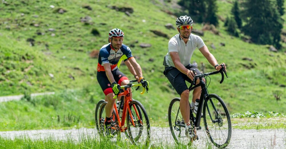
© Graubünden Ferien - Antonella Klee
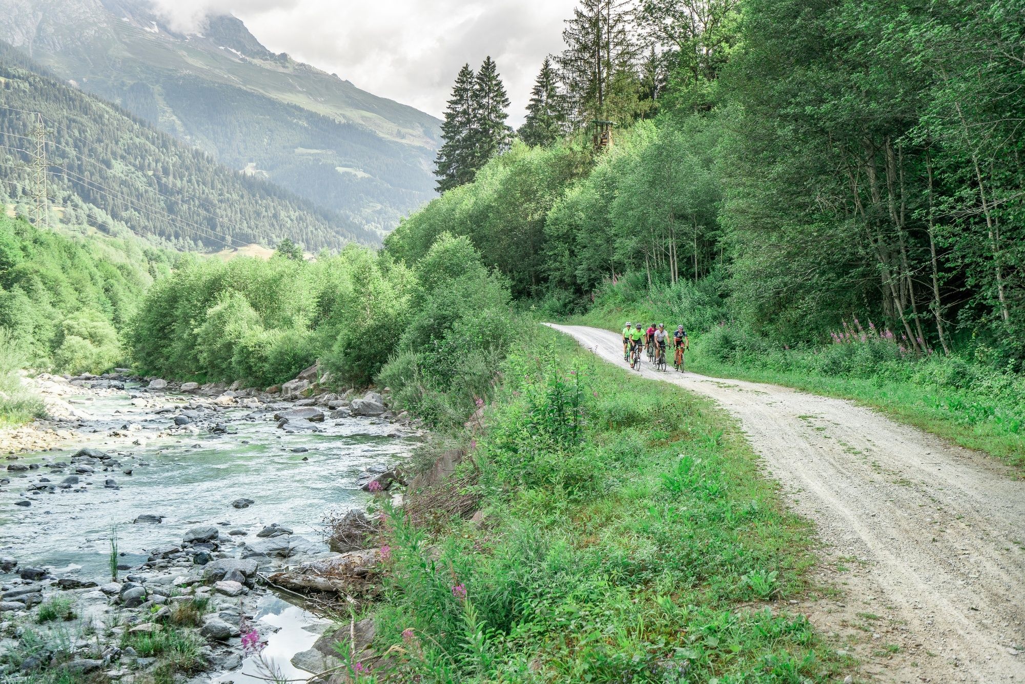
© Graubünden Ferien - Antonella Klee
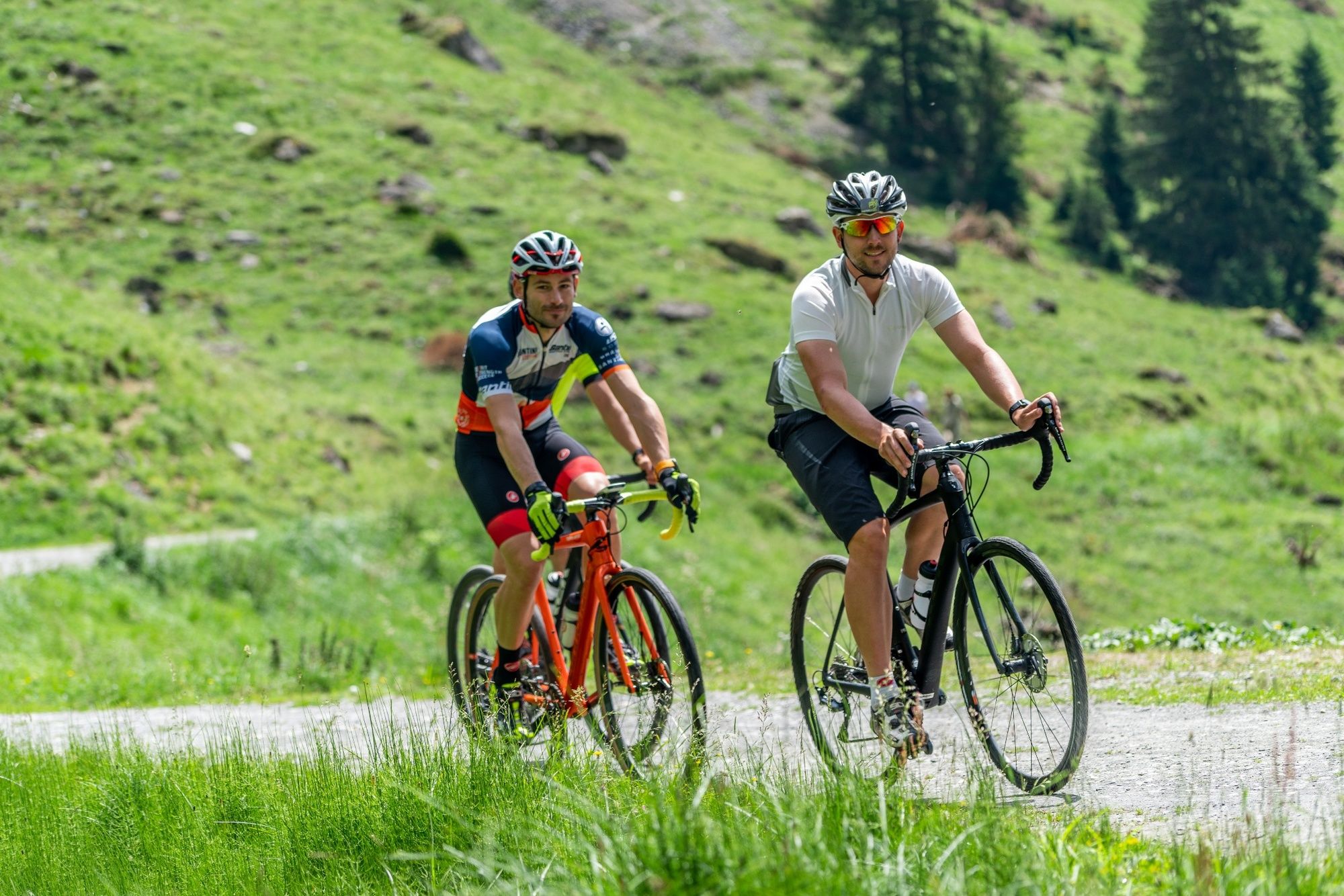
© Graubünden Ferien - Antonella Klee
- Brief description
-
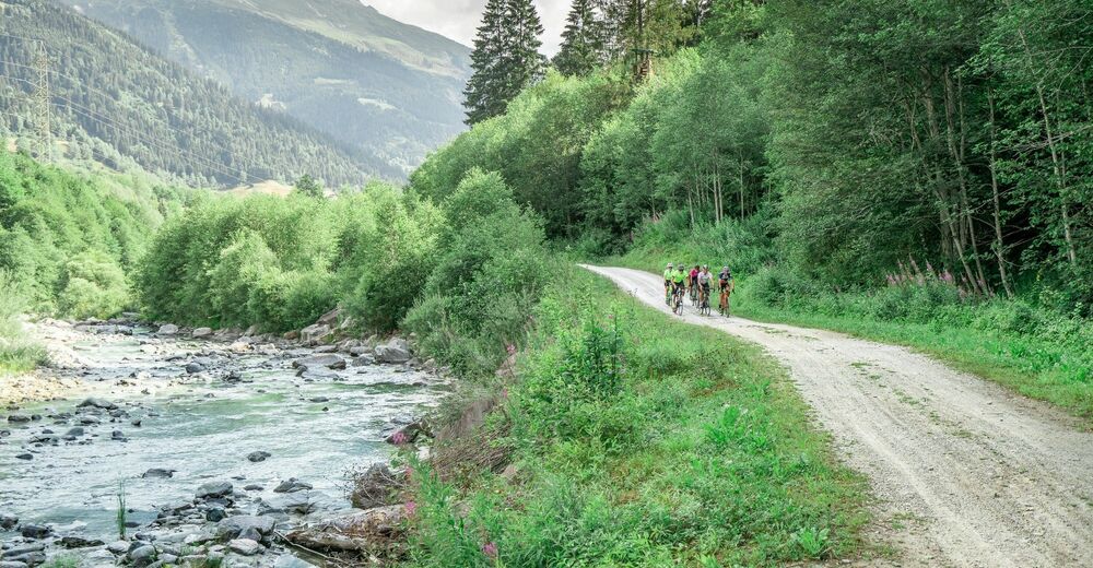
The gravel tour through the Surselva to Disentis-Sedrun and the Maighelshütte promises not only an exciting journey of discovery, but also a journey through the largest Romansh-speaking area of Graubünden to the source of the Rhine.
- Difficulty
-
medium
- Rating
-
- Route
-
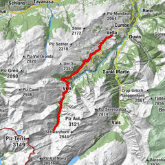
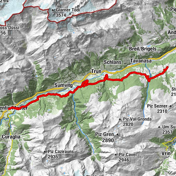
Disentis0.1 kmRaveras0.2 kmPlaun da Haida1.2 kmFalingia1.8 kmCaprau2.1 kmRun2.1 kmCavardiras3.0 kmKirche St. Antonius von Padua3.1 kmPlaun Catschna3.4 kmRun Sut3.6 kmGeina3.6 kmPardomat4.5 kmPardomat Dado4.8 kmFalens5.7 kmCumpadials6.6 kmSurrein9.7 kmUstria e Pensiun Greina9.8 kmBaselgia Sogn Placi9.9 kmZignau18.0 kmCazetwald21.7 kmMirer Conrad23.9 kmSt. Martin (1,340 m)23.9 kmFriggahüs24.1 kmRiti25.0 kmTobel28.2 kmSt. Peter und Paul28.9 kmMeierhof29.0 km
- Best season
-
JanFebMarAprMayJunJulAugSepOctNovDec
- Description
-
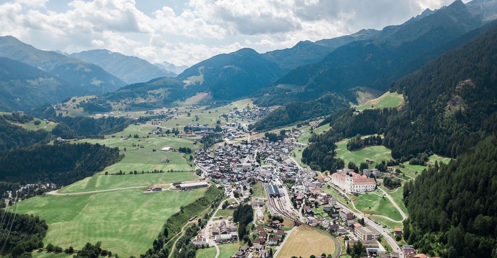
From Disentis (1,130m above sea level) you’ll already be able to see Cavardiras towering high above the Surselva. A short descent to the Rhine and a slight incline take you to the village on the other side of the valley. You’ll be on cycle route no. 3. A short, fast descent will take you to Pardomat and riding along the Anterior Rhine you’ll encounter gravel banks and riverside forests from Surrein to Trun (852m above sea level). MTB route no. 90 takes you to the Obersaxen plateau. The area was settled by the Walsers and acts a Swiss German language island in the middle of the Surselva. Above Friggahüs, you’ll reach the highest point of the day (1,481m above sea level) and accompanied by an imposing view into the Surselva, you can take it easy riding down to Meierhof (1,259m above sea level).
Stages
Overall route: Chur – Chur
Stage 1: Chur – Ilanz
Stage 2: Ilanz – Lag Pigniu – Brigels
Stage 3: Brigels – RhB – Lai Tuma – Disentis
Stage 4: Disentis – Obersaxen
Stage 5: Obersaxen – Alp Nova – Ilanz
Stage 6: Ilanz – Flimserwald – Chur
- Highest point
- 1,481 m
- Endpoint
-
Obersaxen
- Height profile
-
 © outdooractive.com

-

-
AuthorThe tour Stage 4 Gravel Bike Route Anterior Rhine: Vorderrhein: Disentis – Obersaxen is used by outdooractive.com provided.
GPS Downloads


Other tours in the regions
-
Glarnerland
143
-
Trun
50
-
Sumvitg - Rabius
8