- Brief description
-
Der Pilgerweg Via Son Giachen führt vom Südtirol her durch das Val Müstair im Kanton Graubünden Richtung Zentralschweiz oder Wallis. Der zum Teil alpine Pilgerweg ist nur in warmen Jahreszeiten durchgehend begehbar.
- Difficulty
-
difficult
- Rating
-
- Starting point
-
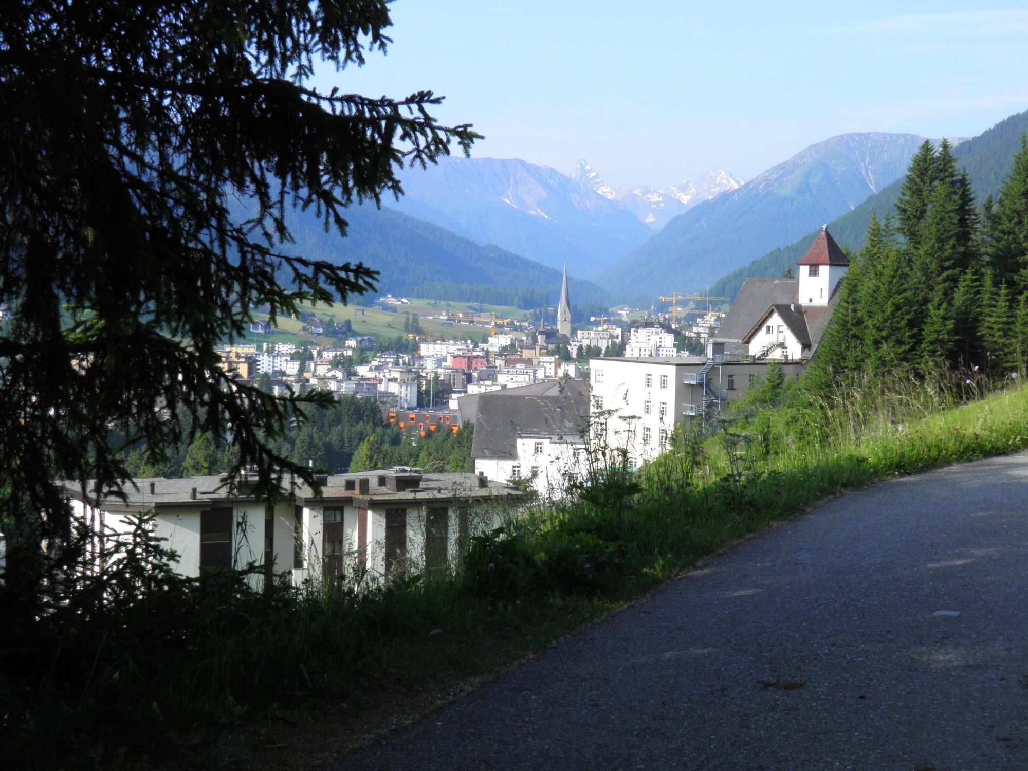
Davos Village, railway station
- Route
-
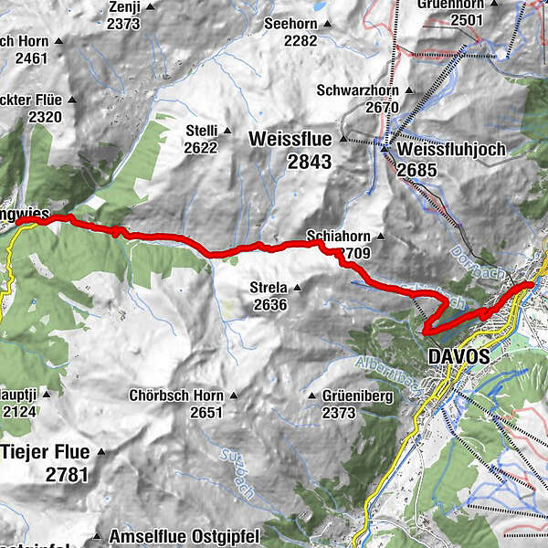
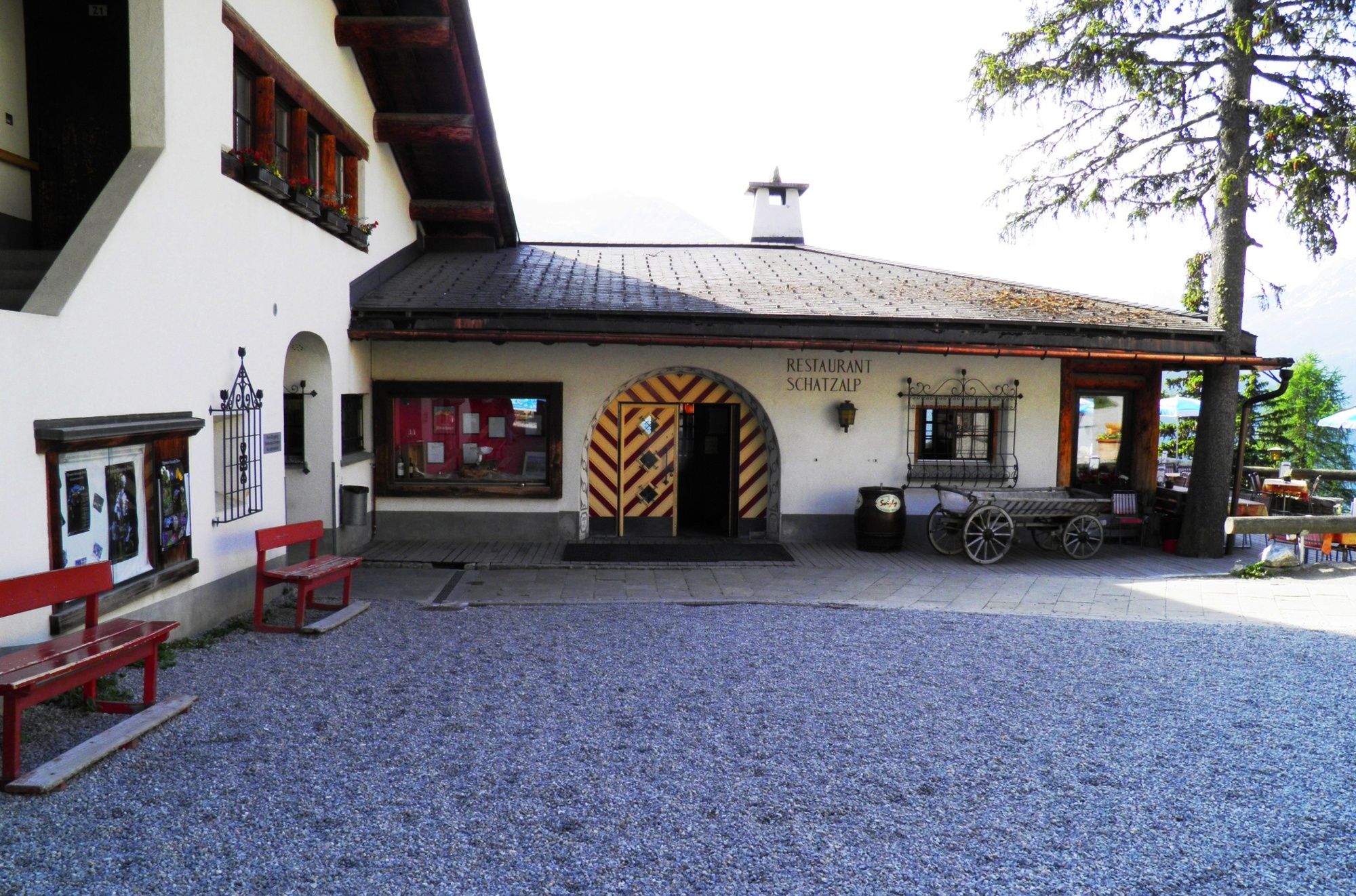
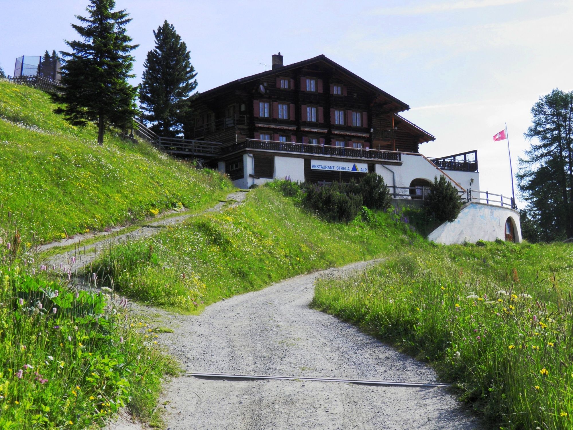
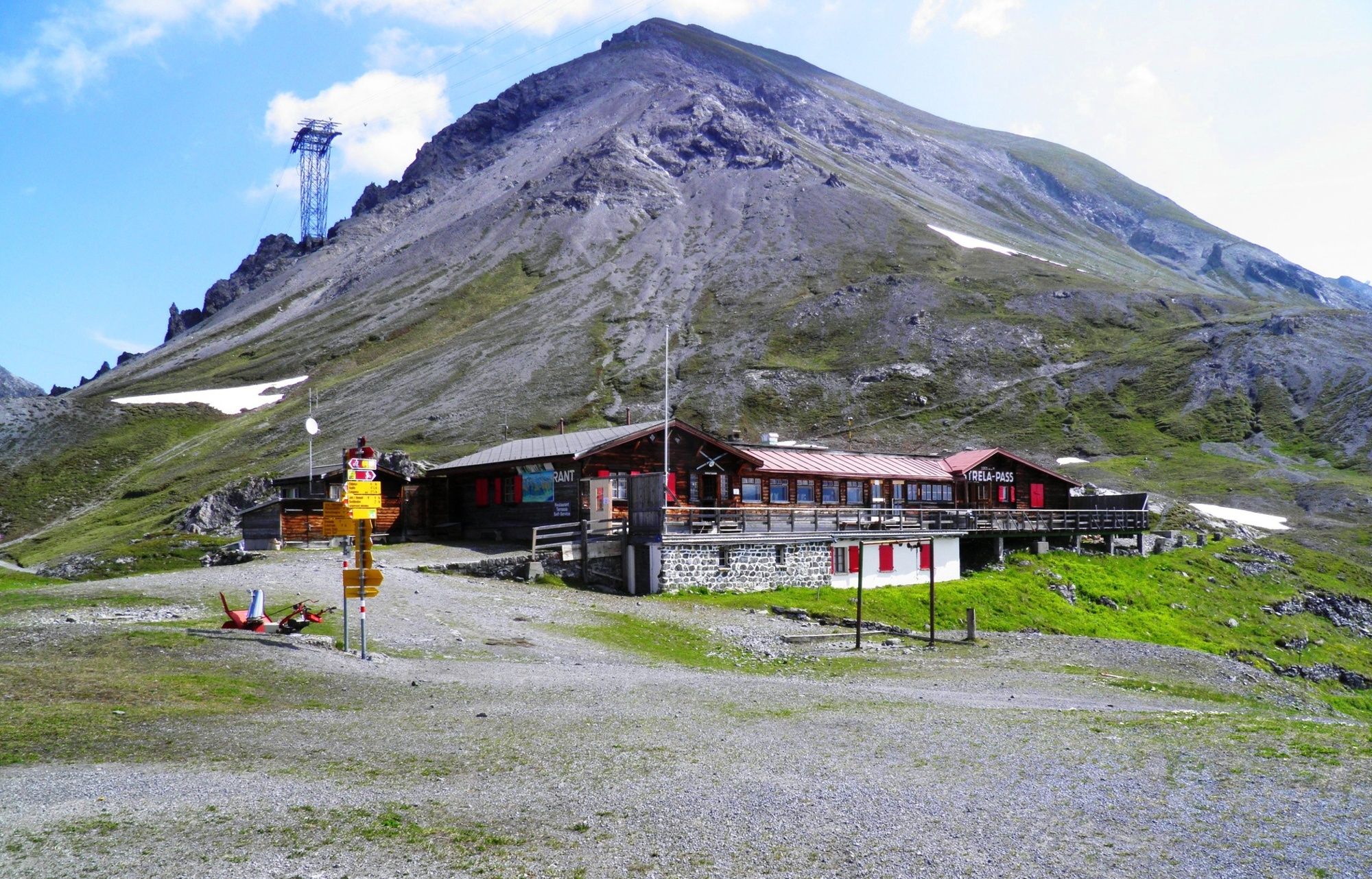
Davos Dorf (1,560 m)St. Theodul0.1 kmDavos Dorf (Parsennbahn) (1,556 m)0.4 kmDavos (1,560 m)2.8 kmSchatzalp (1,861 m)3.2 kmSchatzalp3.4 kmStrela Alp Bergrestaurant3.7 kmStrela-Pass6.4 kmStrelapass6.4 kmJatz (1,831 m)9.3 kmBerggasthaus Heimeli9.3 kmChüpfen9.6 kmSchmitten (1,730 m)10.5 kmDörfji (1,725 m)10.6 kmLangwies (1,373 m)14.2 kmReformierte Kirche14.3 km
- Best season
-
JanFebMarAprMayJunJulAugSepOctNovDec
- Description
-
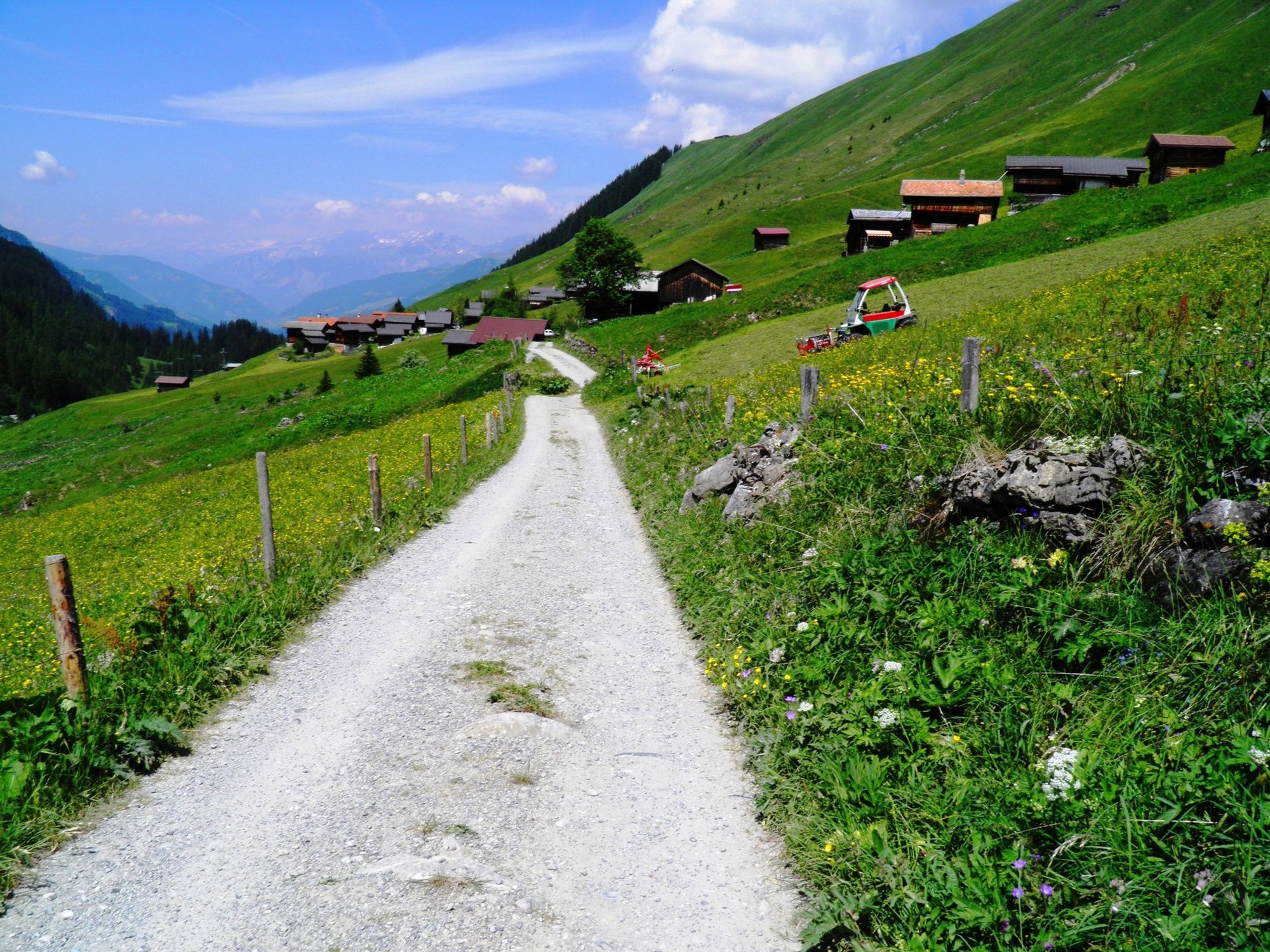
This mountain stage is physically demanding and goes from the «Davos countryside» over the Strela Pass to Langwies into the Schanfigg. The Valais people used this route as far back as the 14th century to move from Davos to settle in the Schanfigg with Langwies and Arosa.
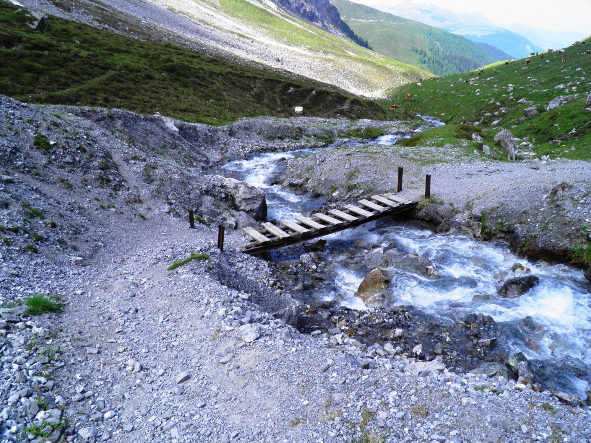
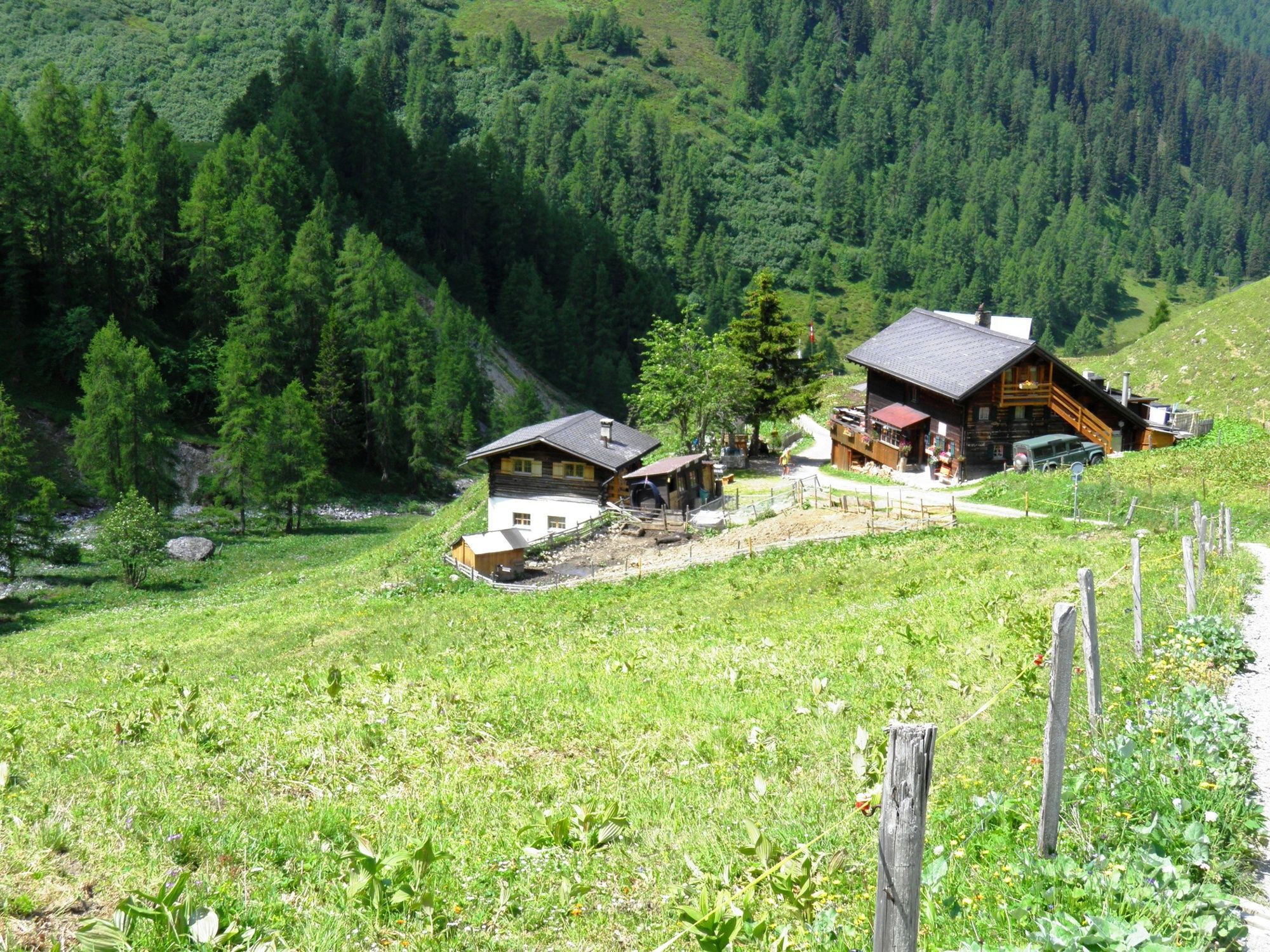
The trail passes through woodland up to the Schatzalp where the view opens up to present an area well-loved by winter sports enthusiasts and also by hikers in summer. Above the Strelaalp, the route turns westward, with the Chlein and the Gross-Schiahorn as fixed points on the right, in between the Schiatobel with the Schiabach stream. The Strela Pass ultimately lies in the saddle between the gross Schiahorn and the Strela and the mountain restaurant is open in both summer and winter.
At the pass, the view opens up towards the Haupter Tälli over to the Haupter Horn and north to the Weissfluh, and the steep, rocky descent down to the Hauptertälli stream begins, which leads along level ground as far as Langwies, perhaps after soaking our feet! The stream becomes the «Sapüner stream» here and, just before Langwies, flows into the Fondeier stream and just below Langwies into the River Plessur.
Note(s)
Important: The Grisons Way, in Romansh the Via Son Giachen, takes pilgrims from the Val Müstair and the South Tyrol through the Canton of Grisons and then through the canton of Uri to the «Inner Swiss Way», which it joins at Seelisberg/Oberdorf above Lake Lucerne. Certain section of this hiking route, which is extremely Alpine in parts (signposted as regional route 43 and then 77 as far as Amsteg), can naturally only be walked towards summer.
See also
More on the Grisons Way of St. James: www.jakobsweg.ch/home/wegstrecken/jakobsweg-graubuenden/ - Highest point
- 2,343 m
- Endpoint
-
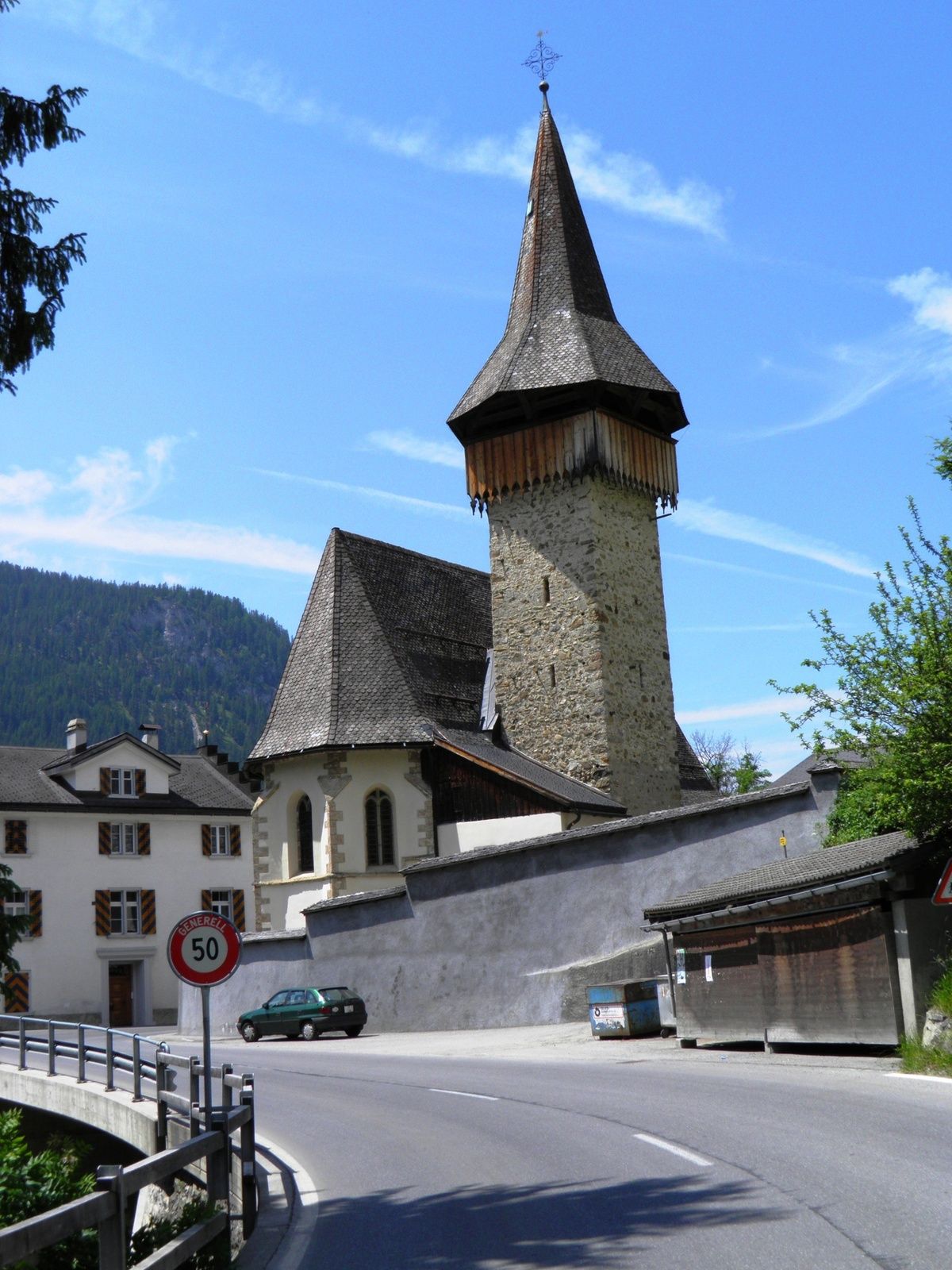
Langwies bei der Kirche
- Height profile
-
 © outdooractive.com
- Author
-
The tour Grisons Trail: Davos village - Langwies is used by outdooractive.com provided.
GPS Downloads


General info
Refreshment stop
Cultural/Historical
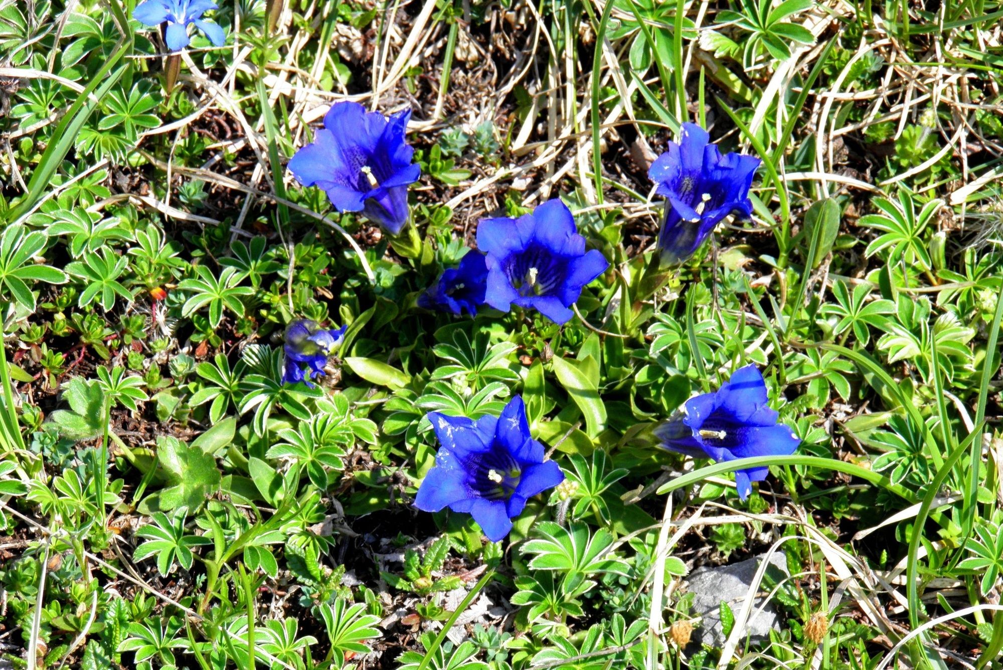
Flora
A lot of view
Other tours in the regions
-
Davos Klosters
930
-
Davos Schatzalp
218