- Brief description
-
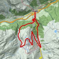
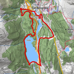
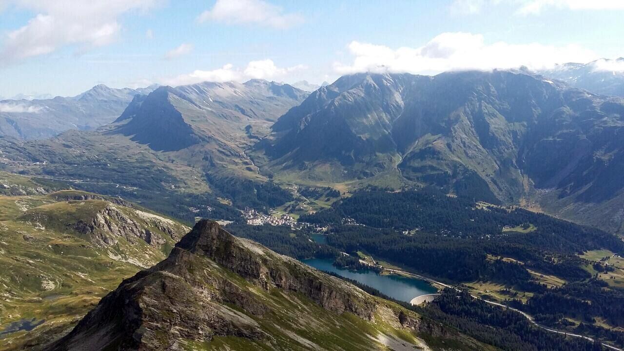
Varied and easy circular route in the area around San Bernardino, on forest roads and past several lakes. Use your strength carefully, because the start is close to the highest point of the tour and the whole ascent follows at the end!
- Difficulty
-
medium
- Rating
-
- Route
-
San Bernardino (1,626 m)Du Lac2.6 kmSalvanei4.6 kmPescedal5.2 kmSalec6.8 kmCoz6.8 kmPian San Giacomo (1,171 m)7.2 kmSei7.5 kmTurgegn8.4 kmUsenich8.9 kmScot9.6 kmPignela Sura (1,472 m)11.0 kmSan Bernardino (1,626 m)16.2 km
- Best season
-
JanFebMarAprMayJunJulAugSepOctNovDec
- Description
-
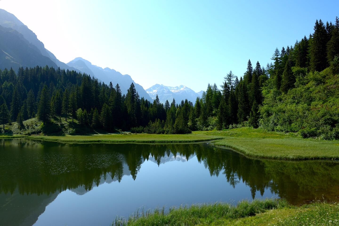
The circuit starts in the village of S.Bernardino. The first section leads through an impressive swamp and hilly landscape with the idyllic small lake Lagh de Pian Doss, the historic houses of Forcola, pastures and dense forests. Almost without realizing it, you reach the lowest point of the tour, the village of Pian S. Giacomo at 1200 m above sea level. A long climb leads back to S.Bernardino. Along this dirt road you will find a bridge from Roman times, the Ponte Romano, which is worth a short detour from the bike route. Once you have reached the Isola reservoir, the road climbs much more gently. between the lake and the village of San Bernardino lies the federally protected Bosch de San Remo Forest. The destination at the starting point in the village is a few minutes away.
- Highest point
- 1,674 m
- Endpoint
-
San Bernardino Dorf
- Height profile
-
 © outdooractive.com
 - Safety instructions
-
Good physical condition, helmet and adequate equipment.

-

-
AuthorThe tour 642 - Pignela is used by outdooractive.com provided.