
- Brief description
-
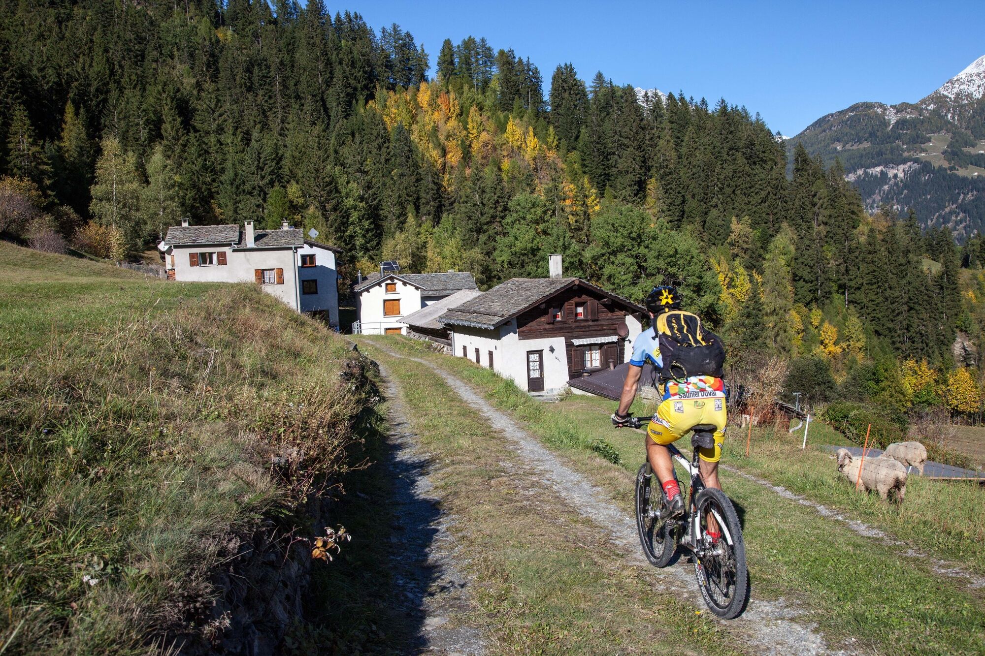
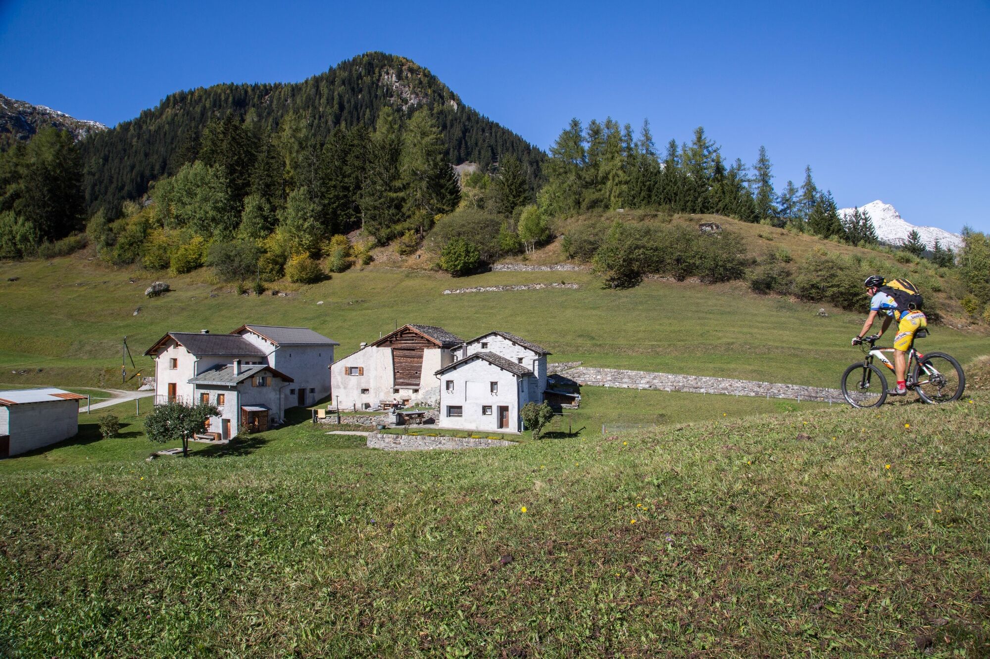
This bike route combines nature and sports experiences with a sprinkling of history and culture thrown in. The effort of climbing past numerous mountain farms is rewarded with a brisk ride down to the Poschiavo Lake.
- Difficulty
-
medium
- Rating
-
- Starting point
-
Poschiavo
- Route
-
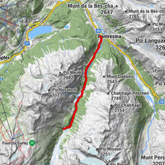
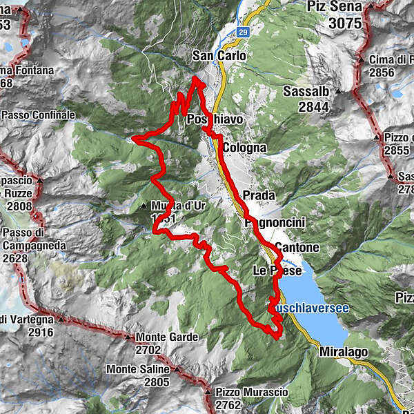
Puschlav (1,014 m)0.0 kmPoschiavo (1,014 m)0.4 kmUrgnasch9.4 kmSelva (1,458 m)11.0 kmMadreda11.8 kmMadreda12.1 kmSuasar Dafo14.1 kmTorn16.2 kmLe Prese19.8 kmCantone20.1 kmSpinadascio20.7 kmPagnoncini20.9 kmPrada21.8 kmAnnunziata21.9 kmSanta Maria Assunta23.5 kmFondovilla24.0 kmPoschiavo (1,014 m)24.4 km
- Description
-
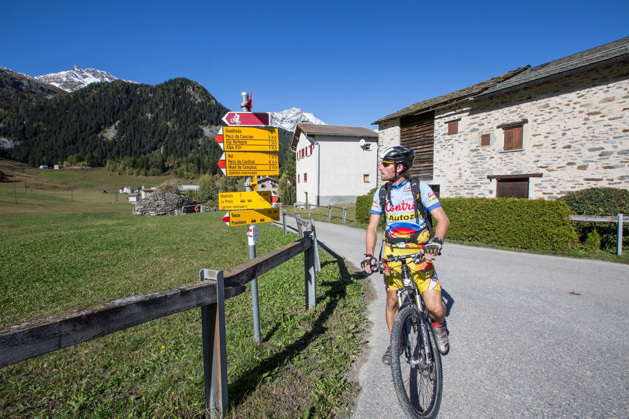
This tour starts at the village of Poschiavo. The historic centre of the village that is characterized by its typical urban property is called Borgo by the locals. A ride through the old cobbled streets gives you the possibility to explore the rich heritage of architecture and to breathe the Mediterranean atmosphere.
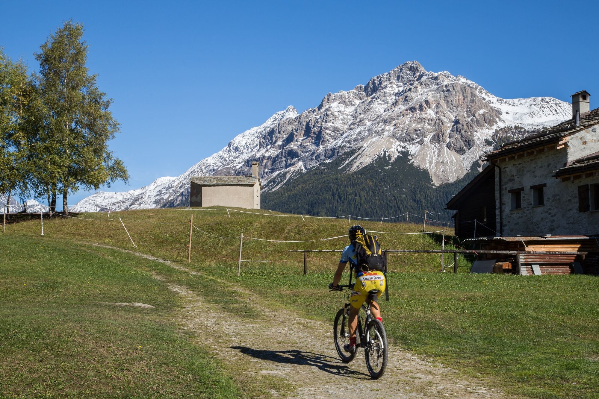
The bike tour starts with an ascent towards north along the asphalted road that leads to the place called Privilasco. In the area of Massela the trail leaves the road and continues on a natural path that leads up to Val. Close to the Maiensäss (Alpine hut) of Puntiglia you cross the creek Val d'Ursé. From here the trail continues (up and down) to the forest until it comes to the Alpine hut of Urgnasc where it joins a green plateau. From Clef the trail goes across Vamporti and leads to the Alpine huts of Selva. The trail continues on the road to Madreda. There you turn right towards Torn.
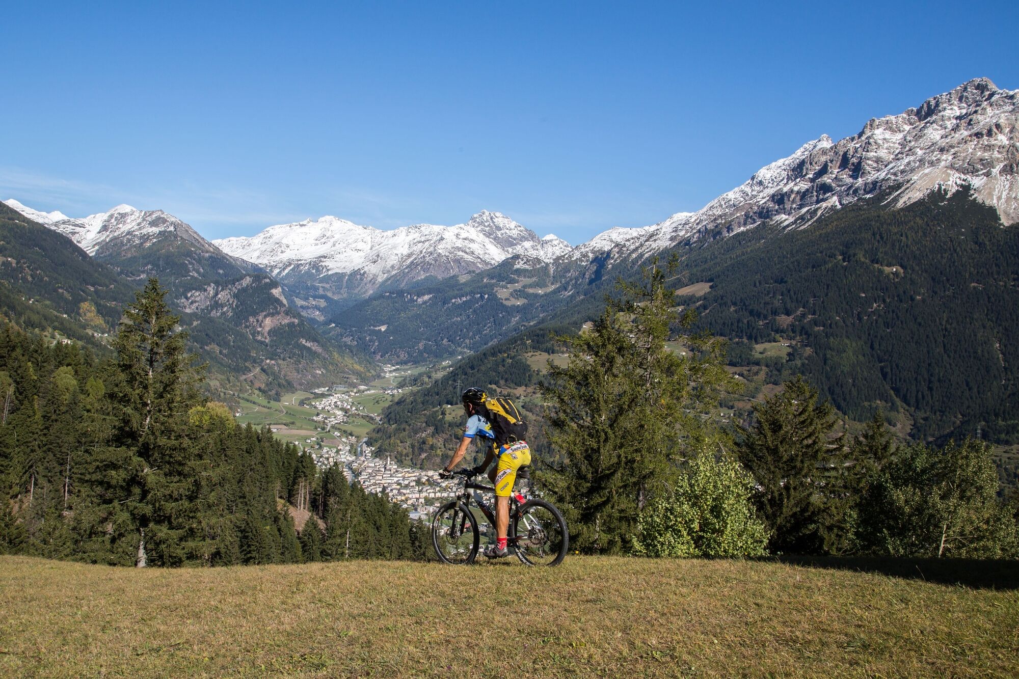
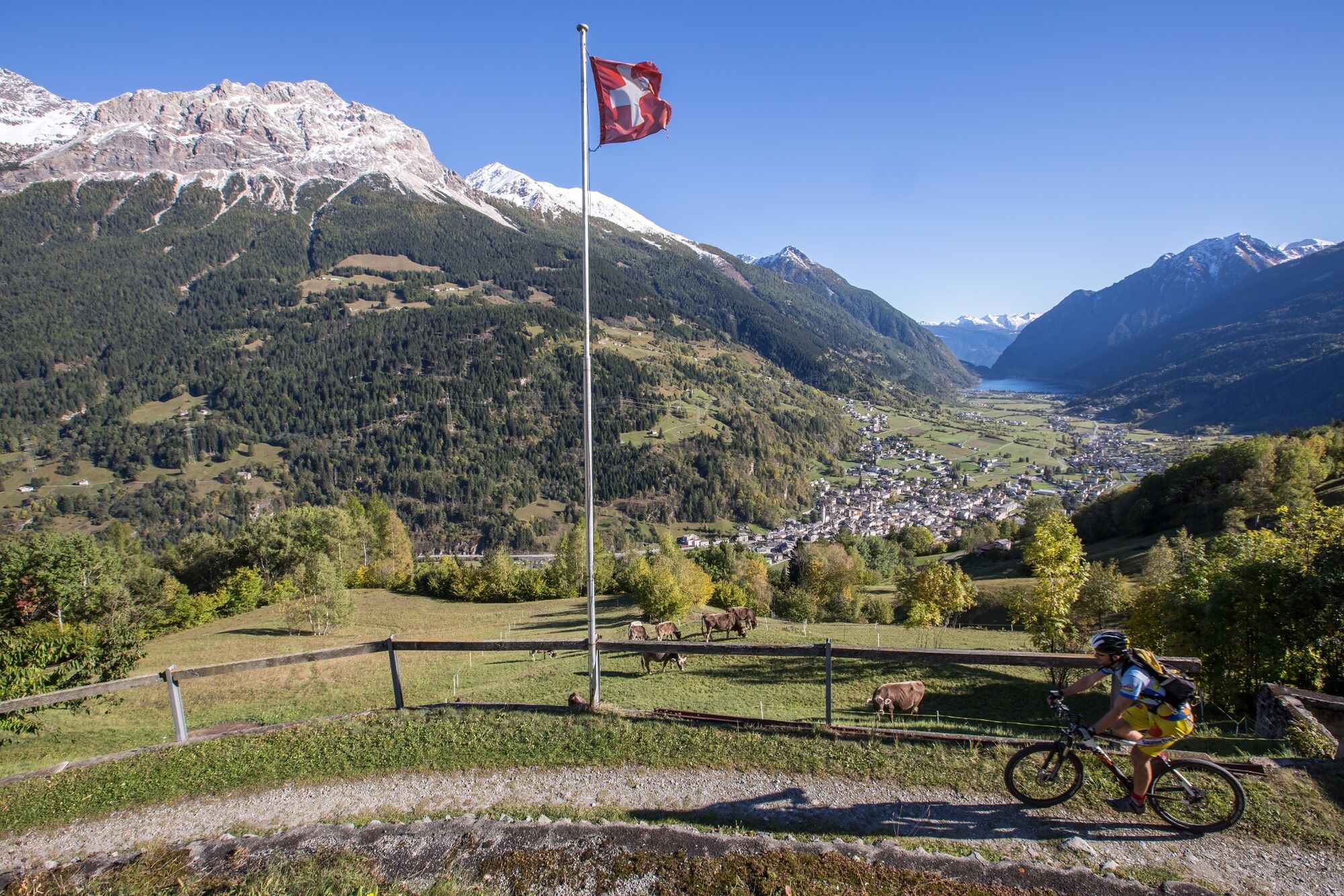
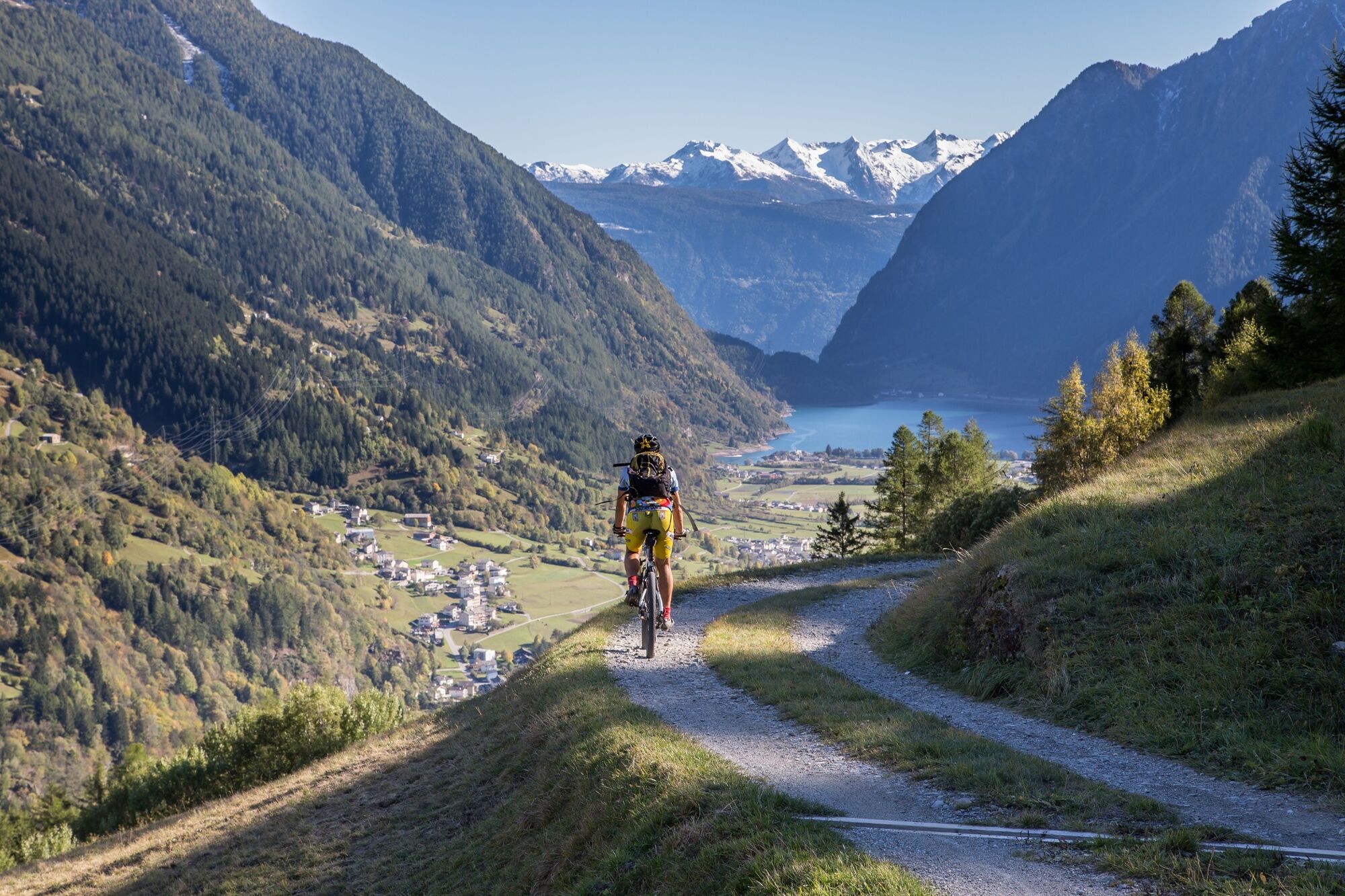
Now you are on the breathtaking descent to the lake front of Lago di Poschiavo. The entire descent can be done on a great downhill-trail. After having left the village of Le Prese, you cross la Praderia on side roads. This is the name of the wide and flat bottom of the valley in this area. After a short time you will get to Poschiavo which is the goal. On the village square, the so-called Piazza you may enjoy an ice-cream - a nice reward that offers you the possibility to look back on the numerous emotions and impressions of the day
- Highest point
- 1,642 m
- Endpoint
-
Poschiavo
- Height profile
-
 © outdooractive.com
 - Tips
-
On the village square, the so-called Piazza you may enjoy an ice-cream - a nice reward that offers you the possibility to look back on the numerous emotions and impressions of the day.
- Additional information
-
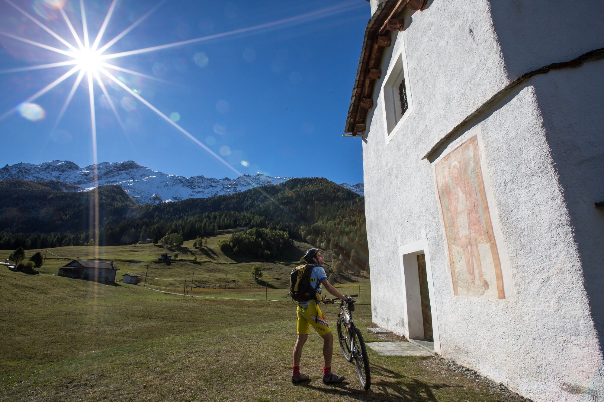
Selva
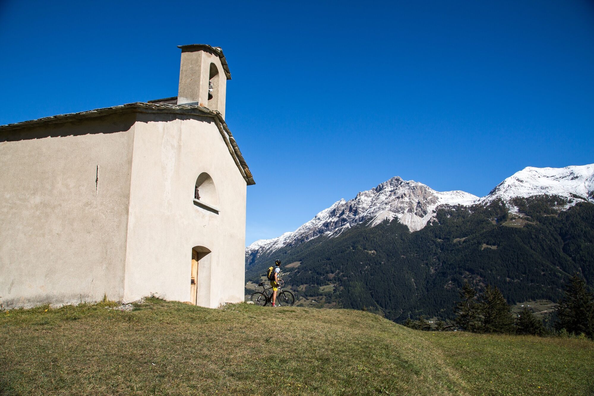
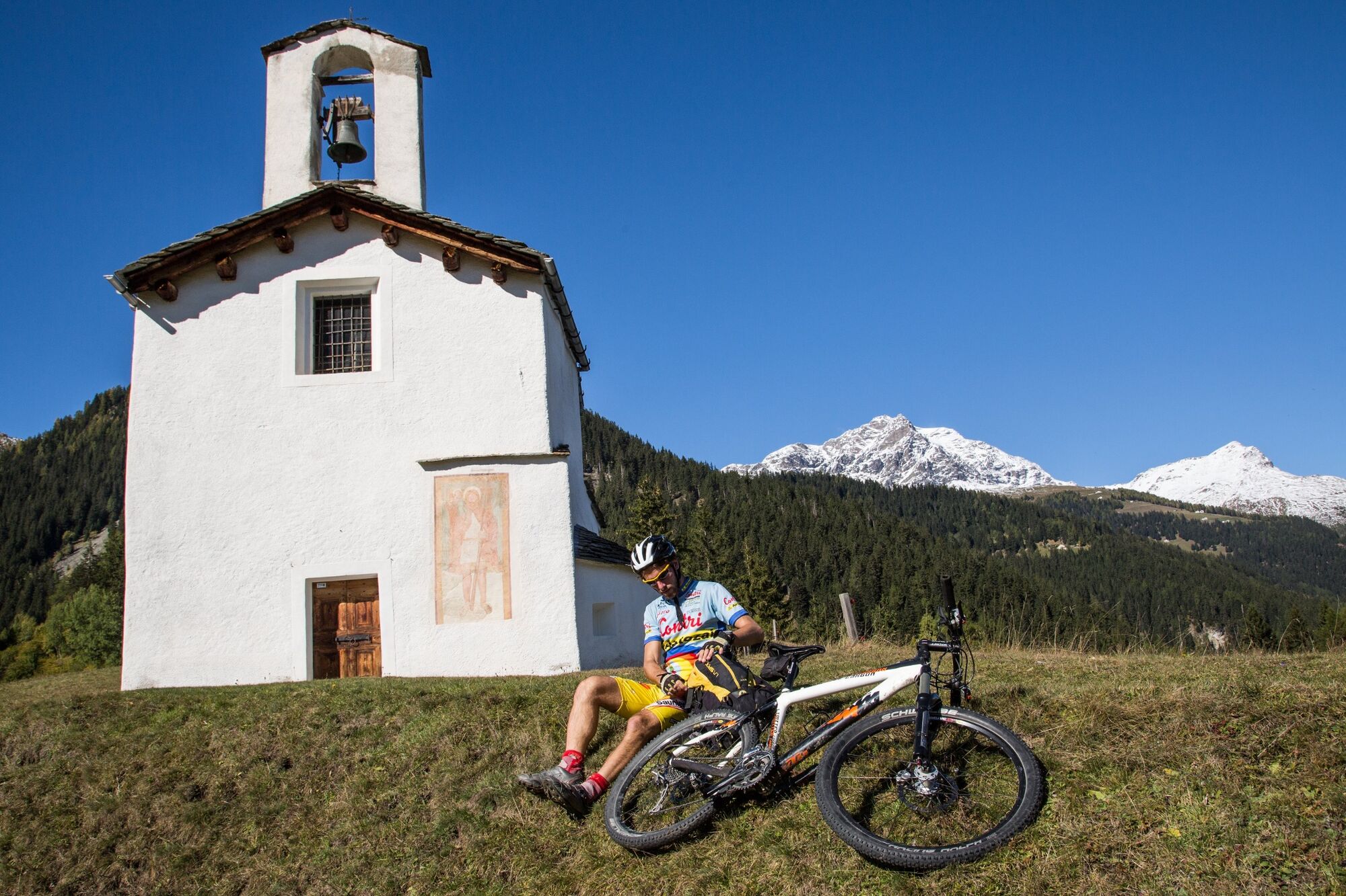
The hamlet of Selva is located on a high plateau on almost 1500 metres above sea level. The two white chapels which are silent witnesses of Reformation and Counter-Reformation are situated in a picturesque position in gentle meadows in front of the panorama of the bottom of the valley and the brightly shining rock of Sassalbo on the opposite side of the valley. Towards Quadrada and Alpe d'Ur, right next to the foaming river you can find the Serpentine stone quarry, the dark green stones of which is used for various purposes.
Food:
Pensione / Ristorante Selva
Markus Birrer
CH-7745 Li Curt
Tel: +41 (0)81 844 07 46
E-Mail: info@selva-pensione-ristorante.ch
Internet: www.selva-pensione-ristorante.ch
Ristorante Madreda
Enrico Migliacci
CH-7745 Li Curt
Tel: +41 (0)81 844 04 78Ente Turistico Valposchiavo
Stazione
CH-7742 Poschiavo
Tel: +41 (0)81 844 05 71
Fax: +41 (0)81 844 10 27
E-Mail: info@valposchiavo.ch
Internet: www.valposchiavo.ch - Public transportation


- Author
-
The tour 431 Granpanoramica Poschiavina is used by outdooractive.com provided.


-
Veltlin / Valtellina
204
-
Puschlav / Valposchiavo
197
-
Puschlav
44