
- Brief description
-
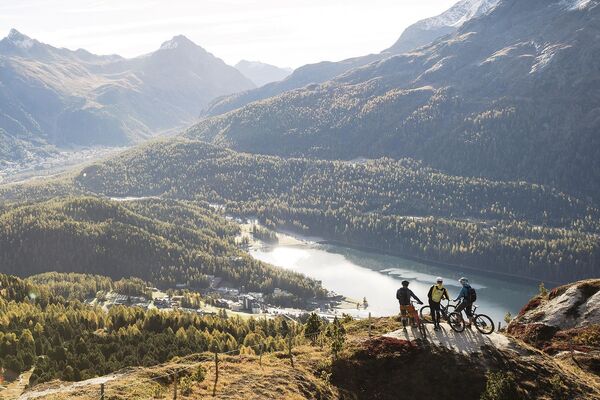
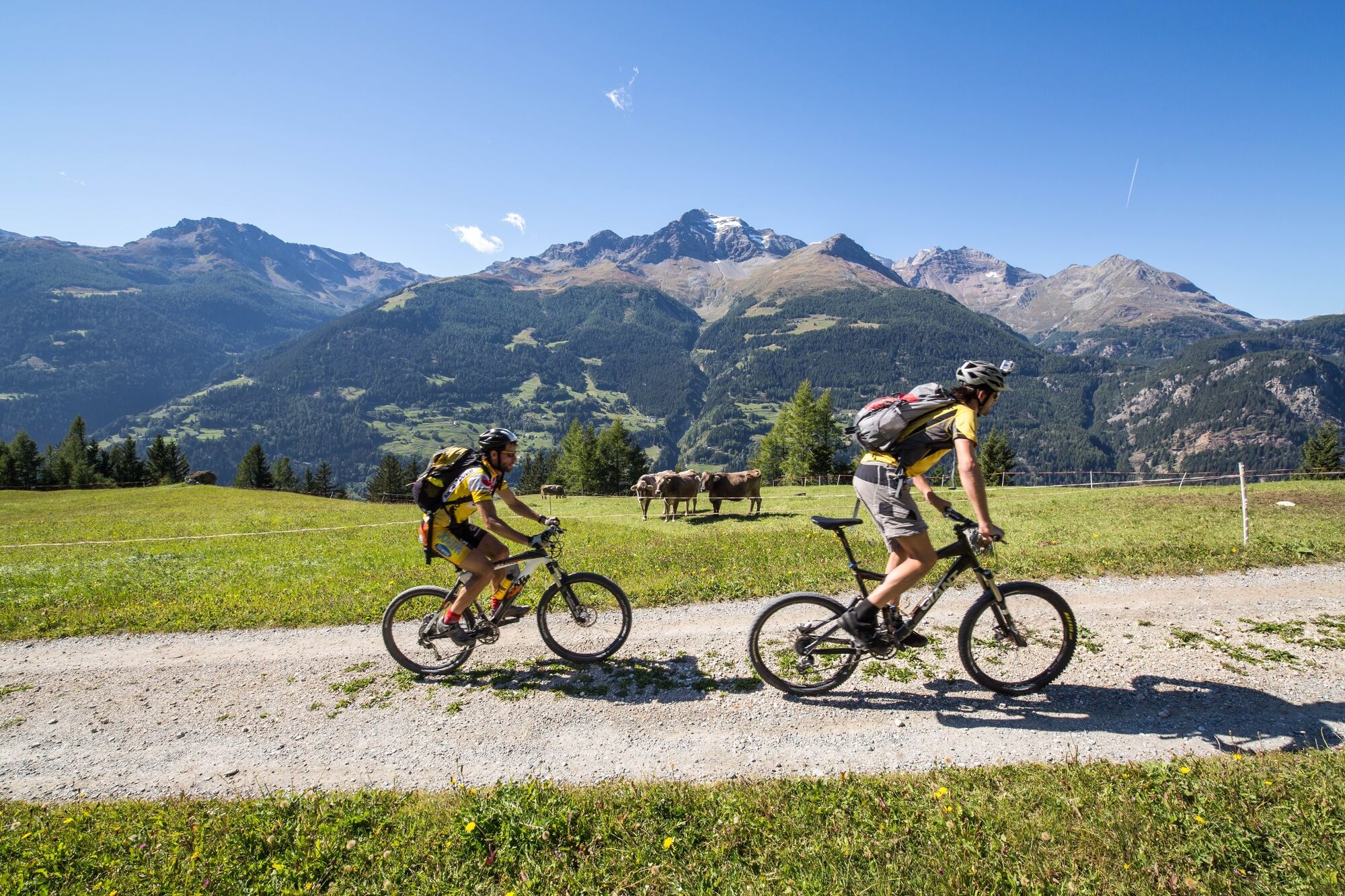
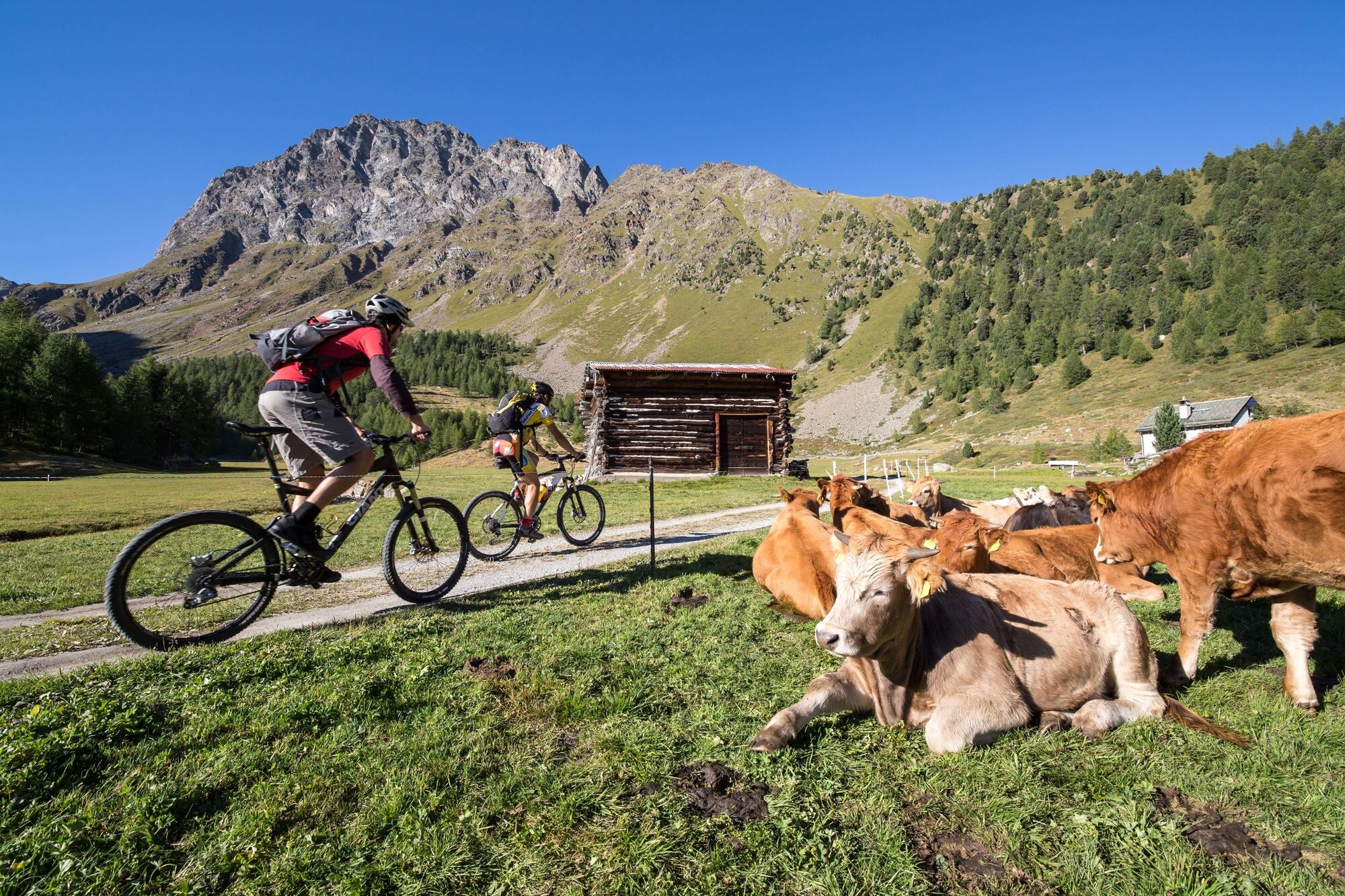
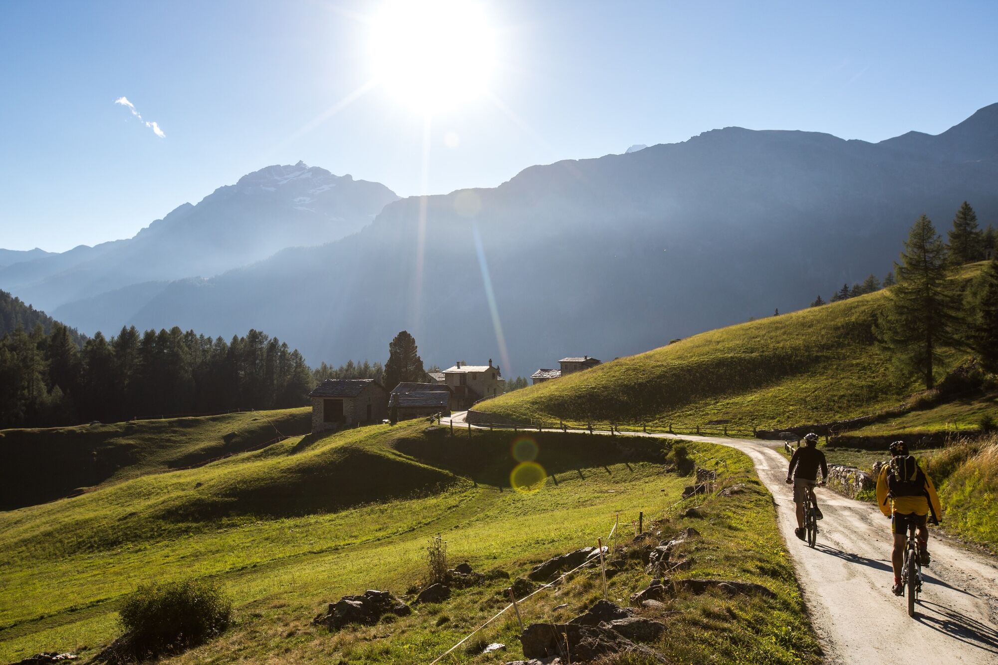
This route is perfect for riders for whom it’s all about mixing a fabulous panorama with a generous helping of isolated, easily rideable natural trails. Cultural curiosity is satisfied by the small town of Poschiavo, starting and finishing point, with its historic centre.
- Difficulty
-
medium
- Rating
-
- Route
-
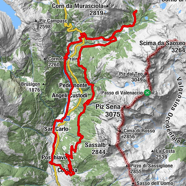
Puschlav (1,014 m)Poschiavo (1,014 m)0.3 kmSan Carlo2.0 kmRaviscé3.1 kmAngeli Custodi4.2 kmPedecosta4.7 kmLa Tana del Grillo4.8 kmPedemonte5.1 kmSfazù10.1 kmAlpe Campo14.9 kmCamp15.0 kmUrezza25.2 kmCansumé28.9 kmSandrena30.1 kmMelera31.1 kmCologna33.6 kmFondovilla34.6 kmPoschiavo (1,014 m)35.1 km
- Best season
-
JanFebMarAprMayJunJulAugSepOctNovDec
- Description
-
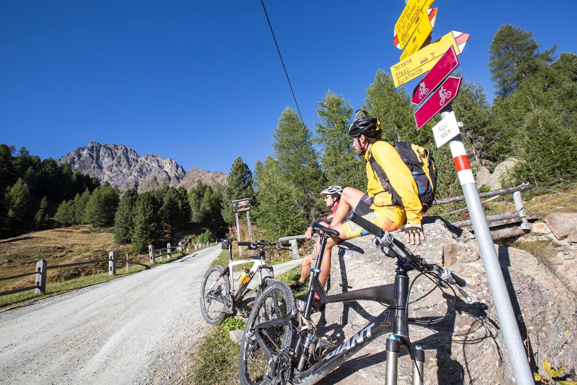
The first part of the route follows the original Bernina Pass road. Unlike the current road, the old route winds along the bottom of the valley, not far from the riverbed.
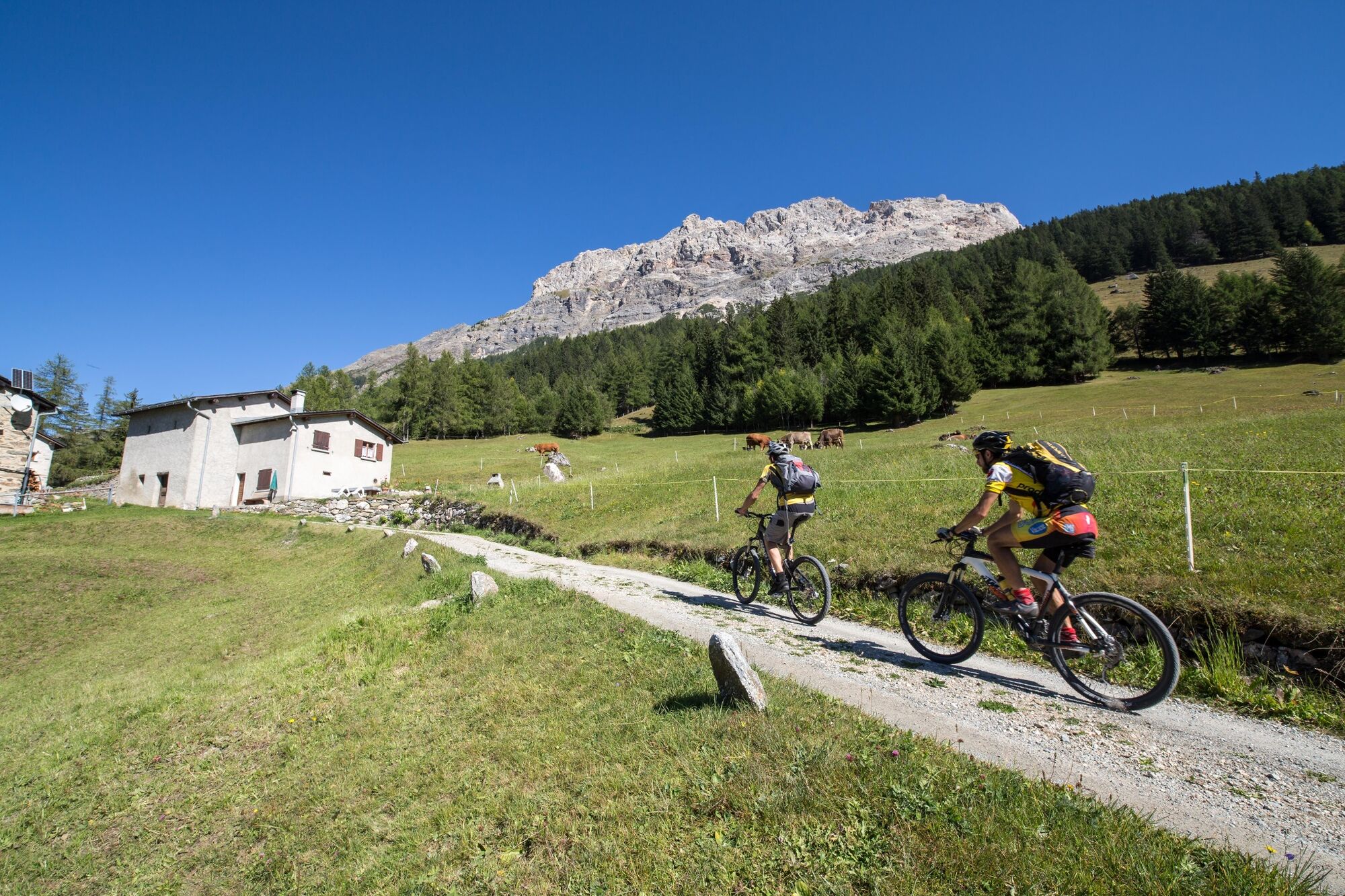
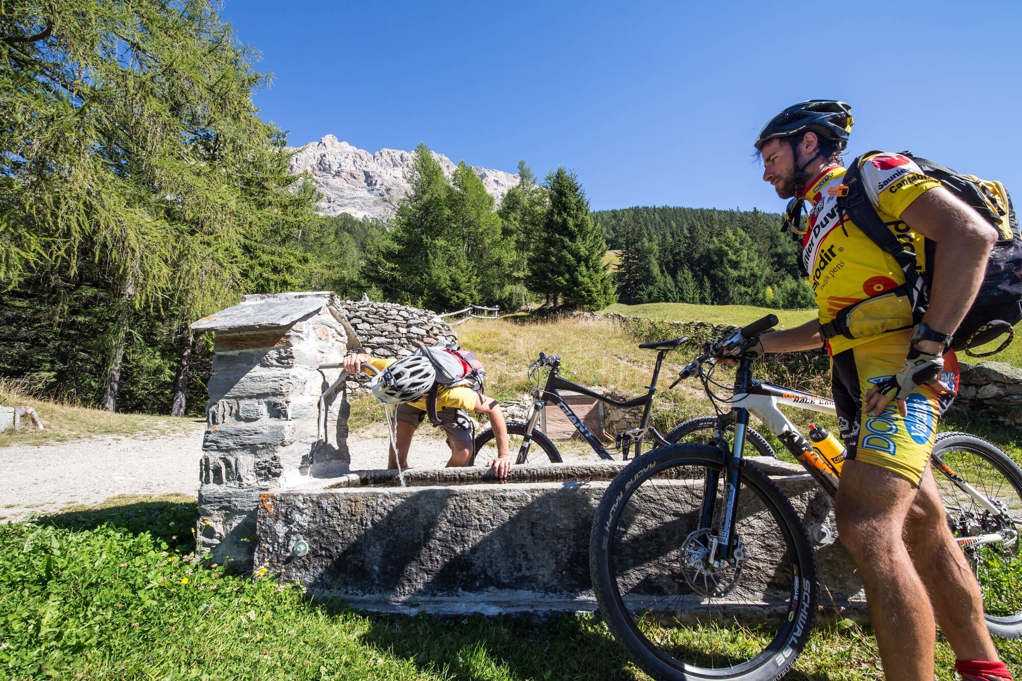
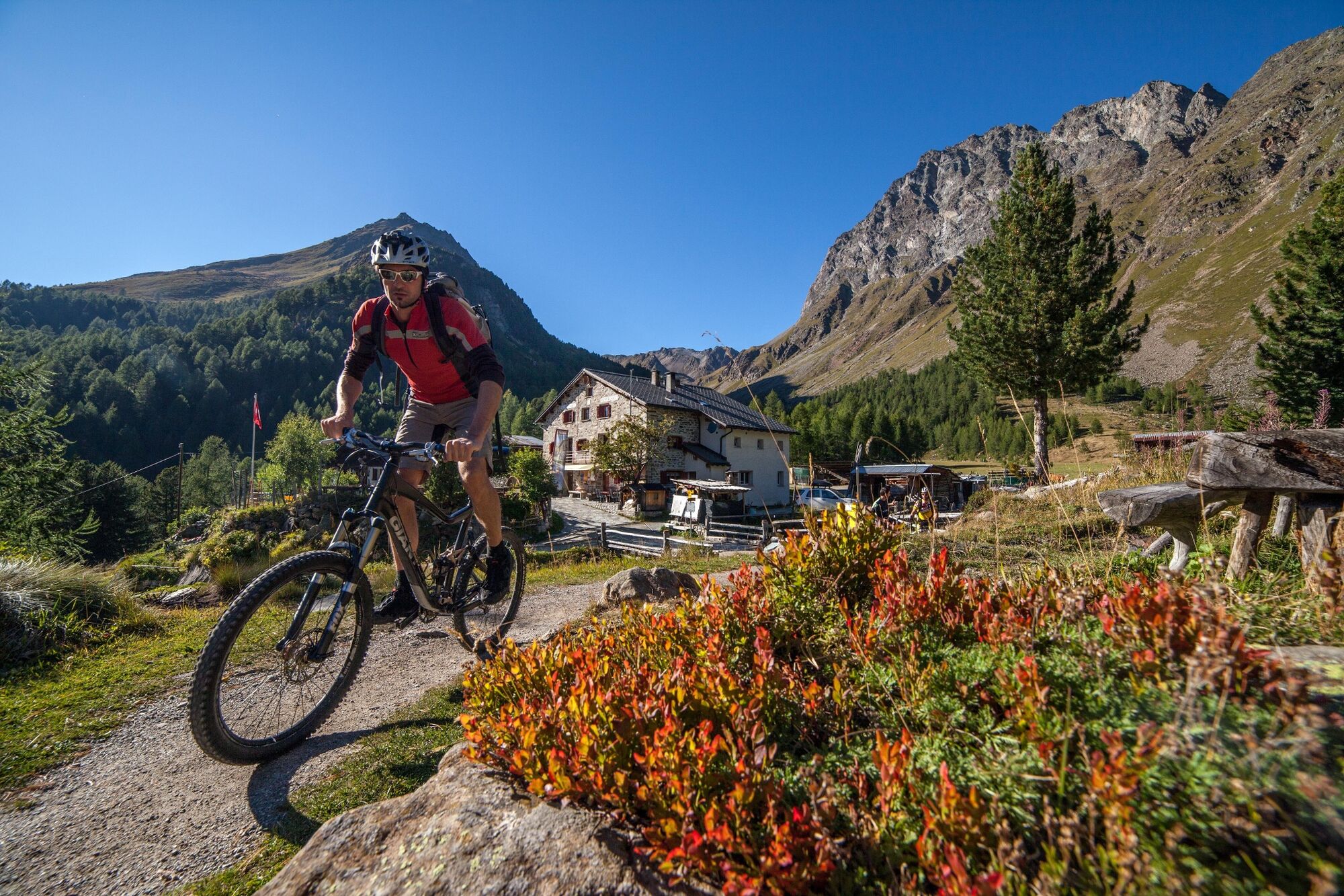
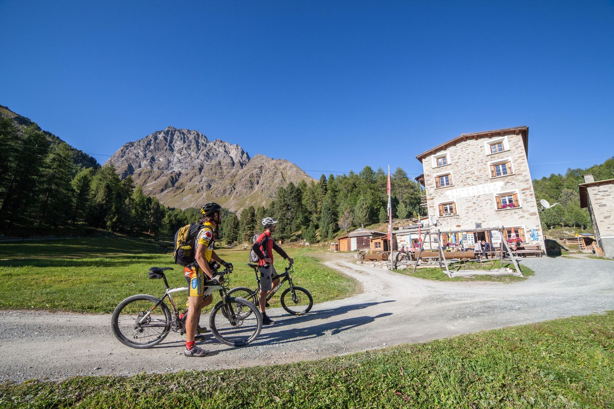
After a few hairpin bends in the forest above Sfazù, the scenic and natural spectacle of the Val di Campo opens up to the rider. Due to its sprawling larch and mountain pine forest and landslide moraine lakes – «Lagh da Saoseo» and «Lagh da Val Viola» – the Di Campo Valley was entered in the Federal Inventory of Swiss Heritage Sites of national importance in 1977. The rough track ends at the Alpe Campo, highest point of the route. At the Rifugio/Ristorante Alpe Campo as well as the nearby Rifugio Saoseo (SAC Hut) in Lungacqua you can enjoy delicious Poschiavo specialities.
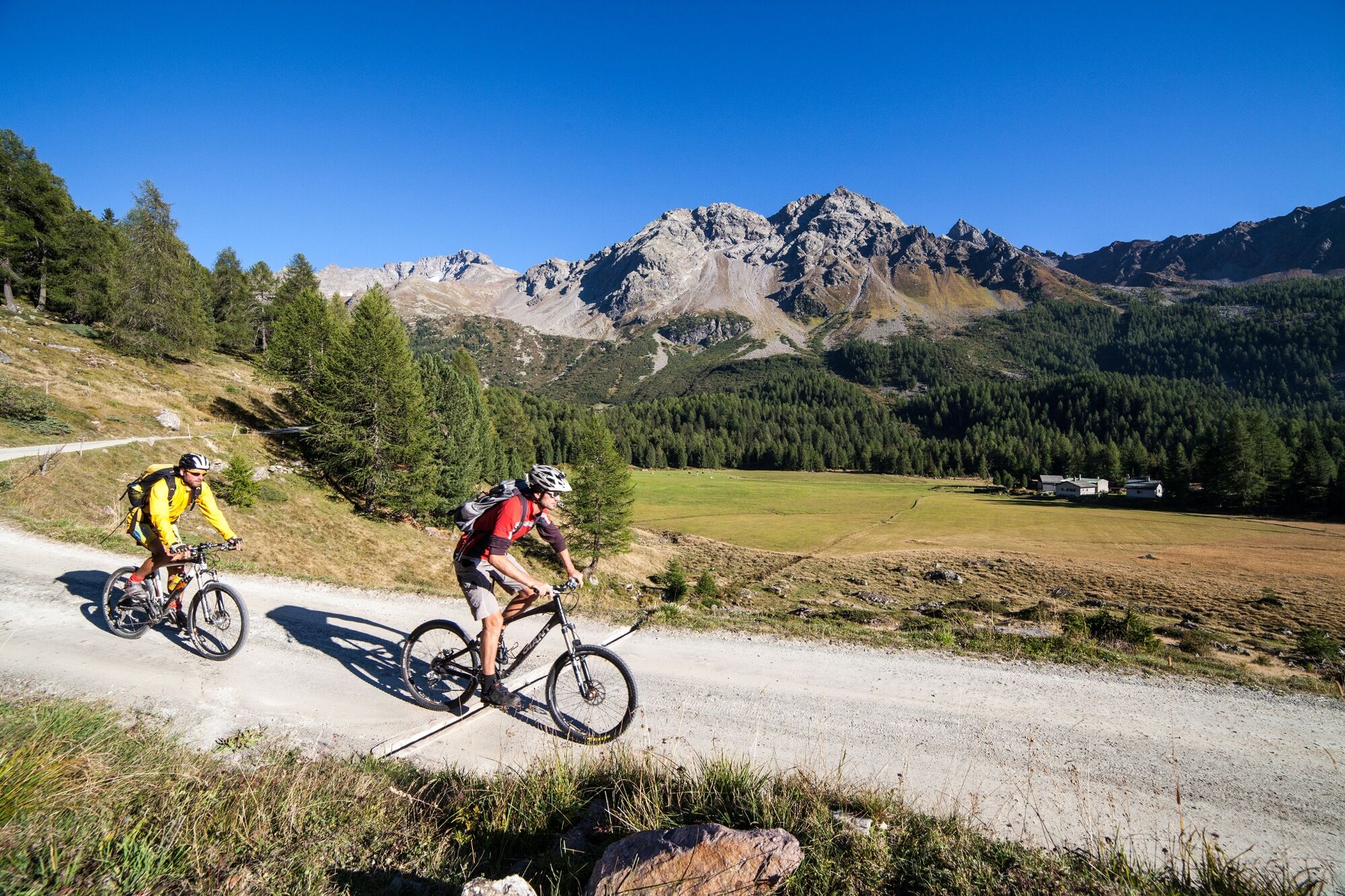
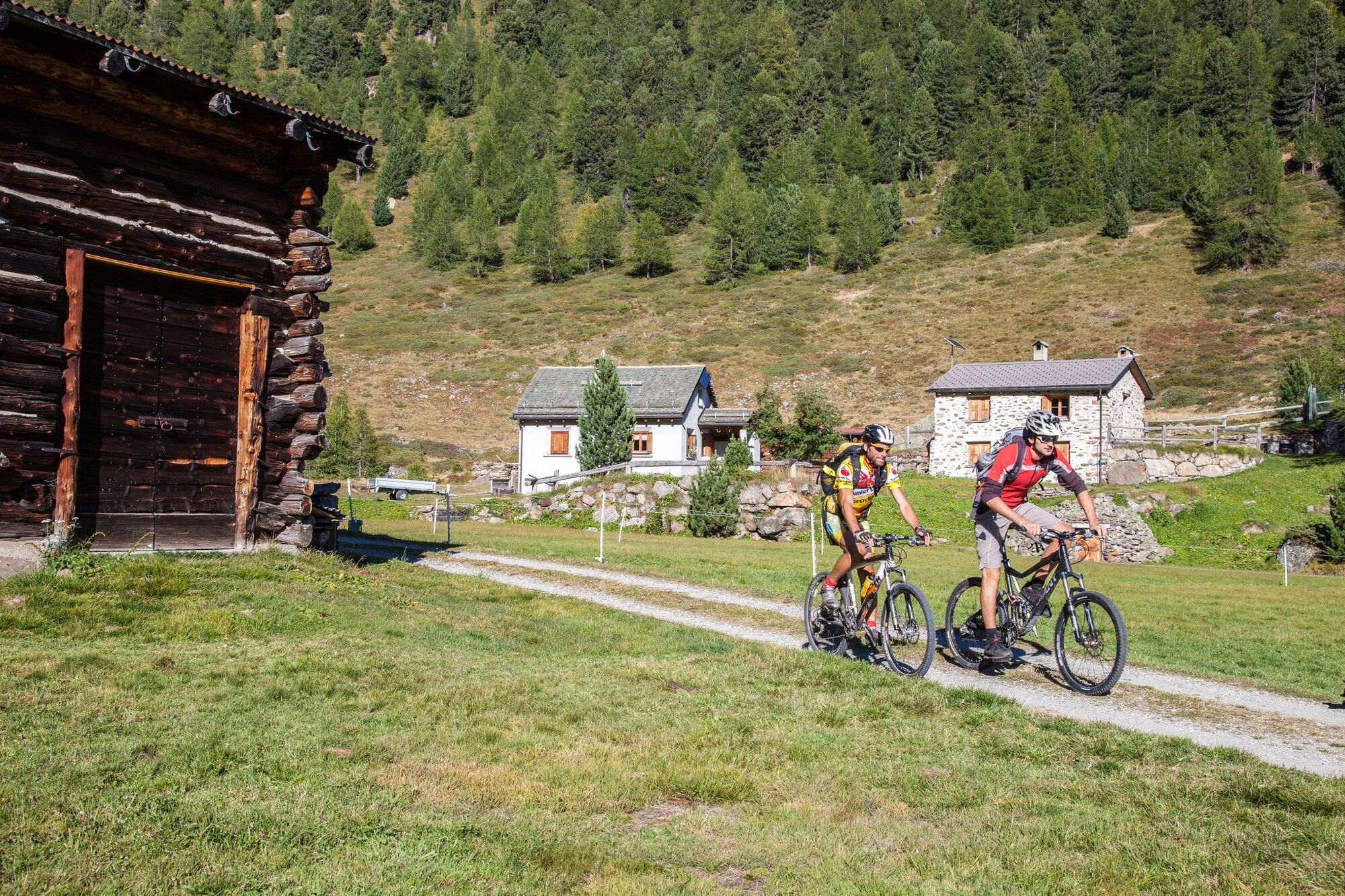
After refreshments you head to Terzana, a picturesque hamlet with alpine farms on the other side of the valley. From there the route which leads via Festignani and Urezza to Cansumé, is characterised by a great many up hill and down dale hairpin bends. The thriling descent from Cansumé to Poschiavo gives the legs a chance to recover and provides an opportunity to enjoy the panorama across to the Lago di Poschiavo and beyond.
- Highest point
- 2,058 m
- Endpoint
-
Poschiavo
- Height profile
-
 © outdooractive.com
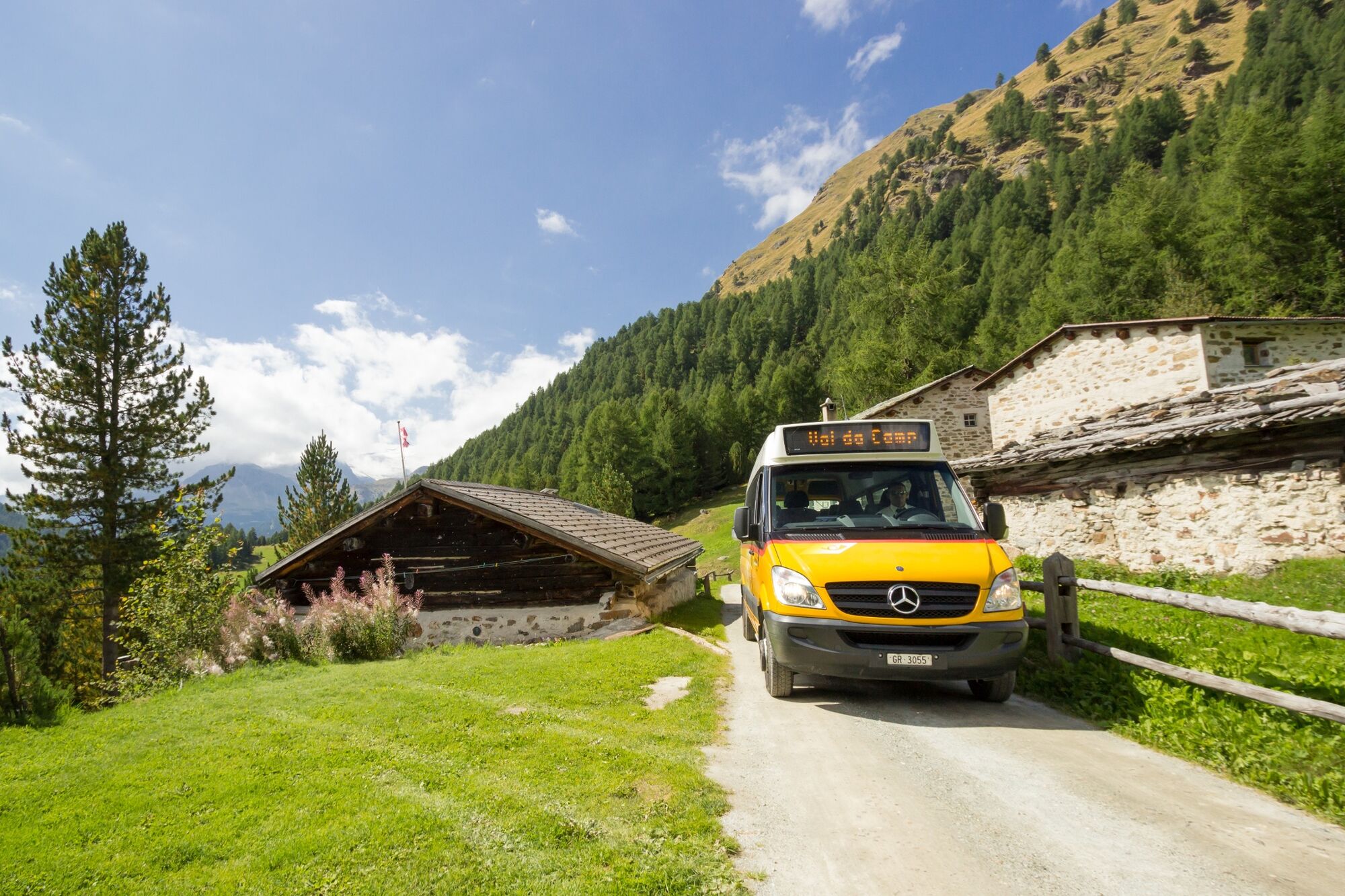
 - Public transportation


- Author
-
The tour 432 Val di Campo is used by outdooractive.com provided.


General info
-
Veltlin / Valtellina
204
-
Puschlav / Valposchiavo
197
-
Puschlav
44