

- Brief description
-
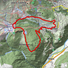
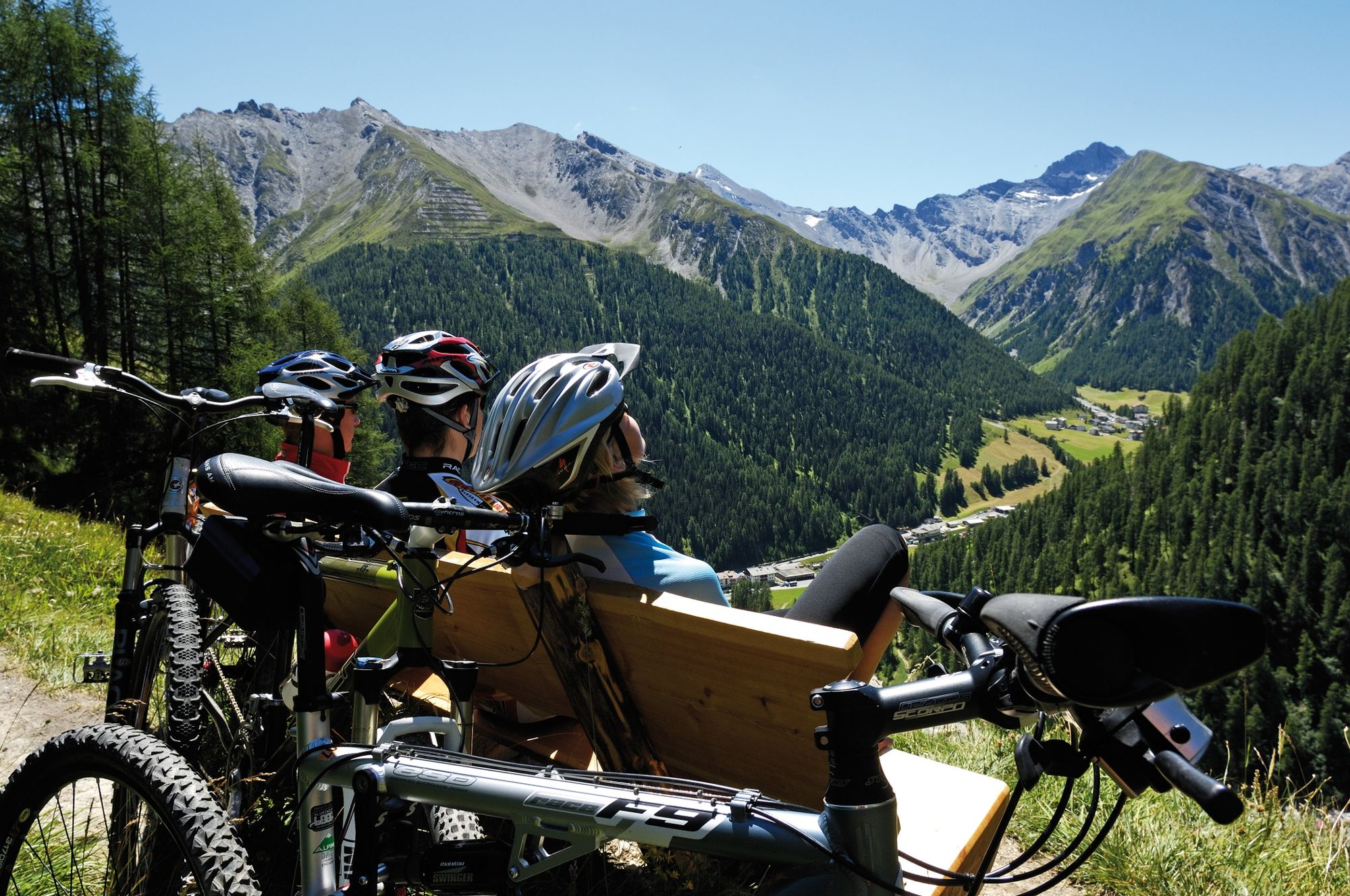
Mountain bike loop from Samnaun-Ravaisch to the Ché d'Mot. The ascent is rewarded with a beautiful single trail down.
- Difficulty
-
medium
- Rating
-
- Starting point
-
church Samnaun-Ravaisch
- Route
-
Ravaisch (1,799 m)Plan (1,725 m)1.1 kmHotel Restaurant Soldanella4.1 kmHotel Restaurant Sonneck4.1 km
- Best season
-
JanFebMarAprMayJunJulAugSepOctNovDec
- Description
-
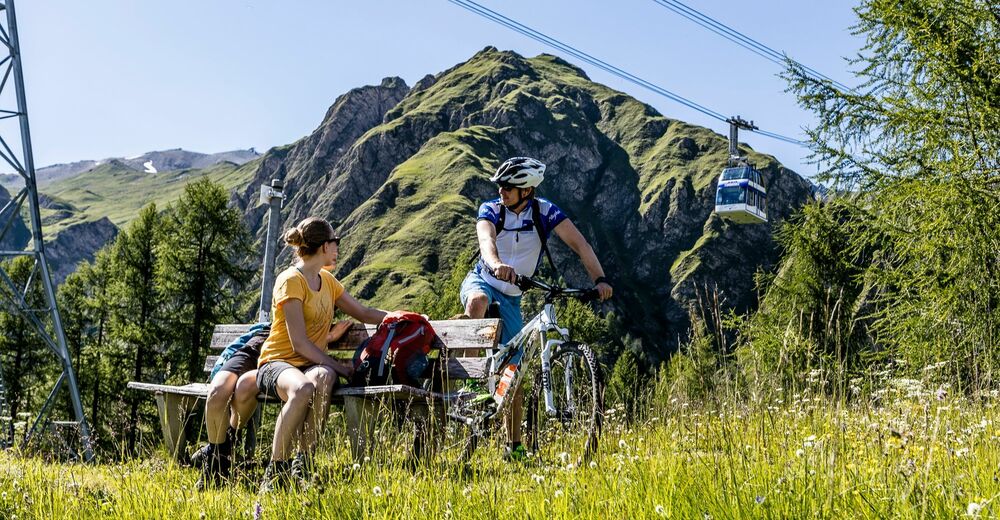
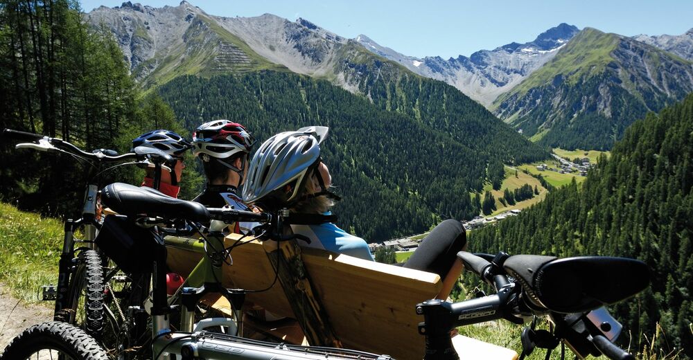
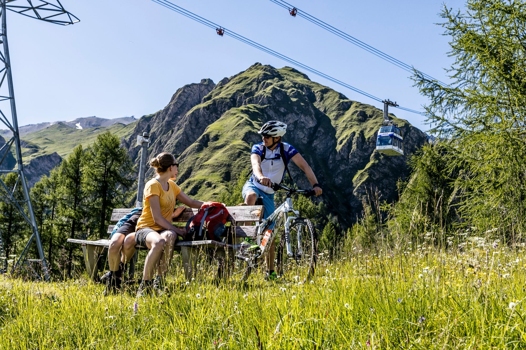
The tour starts in Samnaun-Ravaisch at the chapel in the direction of Samnaun-Laret. Follow the hiking trail above Ravaisch until the trail branches off to the left towards Tschischanaderet. The bike tour climbs to the hill at 2014 m above sea level. From here it is a few minutes' walk to Chè d'Mot, the hill with the cable car masts, where a magnificent view of the Samnaun valley awaits. Back at the bike, a single trail now winds its way back down to the village of Ravaisch. The first bends are a little more difficult (s3), but can be easily negotiated, the lower part is easier (s2).
- Directions
-
Start at the chapel in Samnaun-Ravaisch village
Follow the hiking trail in the direction of Laret
In Tschischanadret turn left and follow the path
At the next junction turn left to the highest point
Walk to the viewpoint Chè d'Mot
On the other side follow the single trail to Ravaisch - Highest point
- 2,009 m
- Endpoint
-
Samnaun-Ravaisch Dorf
- Height profile
-
 © outdooractive.com
 - Equipment
-
Helmet, gloves, good shoes, glasses, rain and sun protection, water bottle, repair kit, first aid kit
- Safety instructions
-
The tour has been assessed in favourable weather conditions. It is imperative that the current weather conditions and weather forecasts are taken into account before starting the tour. This tour requires a certain level of riding safety, balance and technical riding skills.
Emergency call:
144 Emergency call, first aid
112 International emergency call
Show consideration when crossing and overtaking hikers.
Most of the mountain bike routes in Graubünden run on single trails that are also signposted as hiking trails. Hikers always have the right of way.
- Additional information
- Directions
-
- From the north: via Landquart - Klosters by car transport through the Vereina Tunnel (Selfranga - Sagliains) or via the Flüela Pass into the Lower Engadine on H27, from Vinadi turn left towards Samnaun.
- From the east: via Landeck / Austria in the direction of Reschenpass on the B180, from Kajetansbrücke in the direction of Spiss - Samnaun on the L348
- From the south: via Reschenpass to Kajetansbrücke, there direction Spiss - Samnaun on the L348
- Public transportation
-
- With the Rhaetian Railway (from Chur, Landquart/Prättigau or from the Upper Engadine) hourly to Scuol-Tarasp station.
- Continue by PostBus to the PostBus stop Samnaun-Ravaisch (line 921, hourly connections).
- Samnaun local bus: hourly connections to Samnaun-Ravaisch
- Parking
-
- Free public car park at the valley station of the double-decker cable car, Samnaun-Ravaisch
- Author
-
The tour Biketour Chè d'Mot is used by outdooractive.com provided.