
- Brief description
-
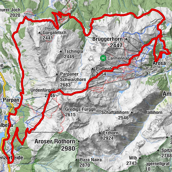
The route from Arosa through the Urdental to Lenzerheide and over the Tschiertschen back to Arosa is demanding, but unique and very varied. The ascent to Hörnlihütte can alternatively be easily handled with the Hörnli-Express.
- Difficulty
-
difficult
- Rating
-
- Route
-
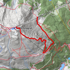
Arosa (1,739 m)0.0 kmArosa (1,739 m)1.1 kmPrätschli2.2 kmMitterer Hütte4.3 kmBrüggerstuba4.4 kmUrdenfürggli (2,546 m)11.4 kmMotta Hütte12.6 kmFreeflow Restaurant15.4 kmScharmoin15.5 kmStation Scharmoin (1,904 m)15.5 kmKugelbahn Scharmoin15.5 kmScharmoin16.0 kmLenzerheide (1,476 m)20.9 kmValbella (1,535 m)23.2 kmOst (1,548 m)25.4 kmKuonrigenhus26.4 kmTschuggen27.1 kmFoppa (1,753 m)29.6 kmChurer Joch (2,020 m)32.0 kmGruoba32.9 kmHüenerchöpf34.2 kmBergrestaurant Hühnerköpfe34.5 kmAlp Farur35.3 kmWaldstafel36.7 kmOchsenalp43.8 kmRot Tritt46.3 kmMaran (1,862 m)49.8 kmArosa (1,739 m)51.7 km
- Best season
-
JanFebMarAprMayJunJulAugSepOctNovDec
- Description
-
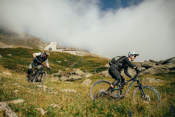
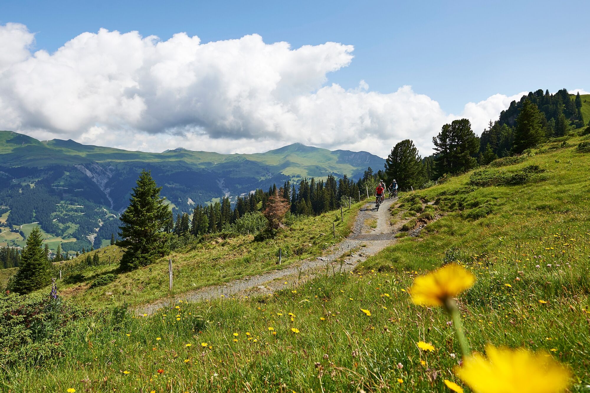
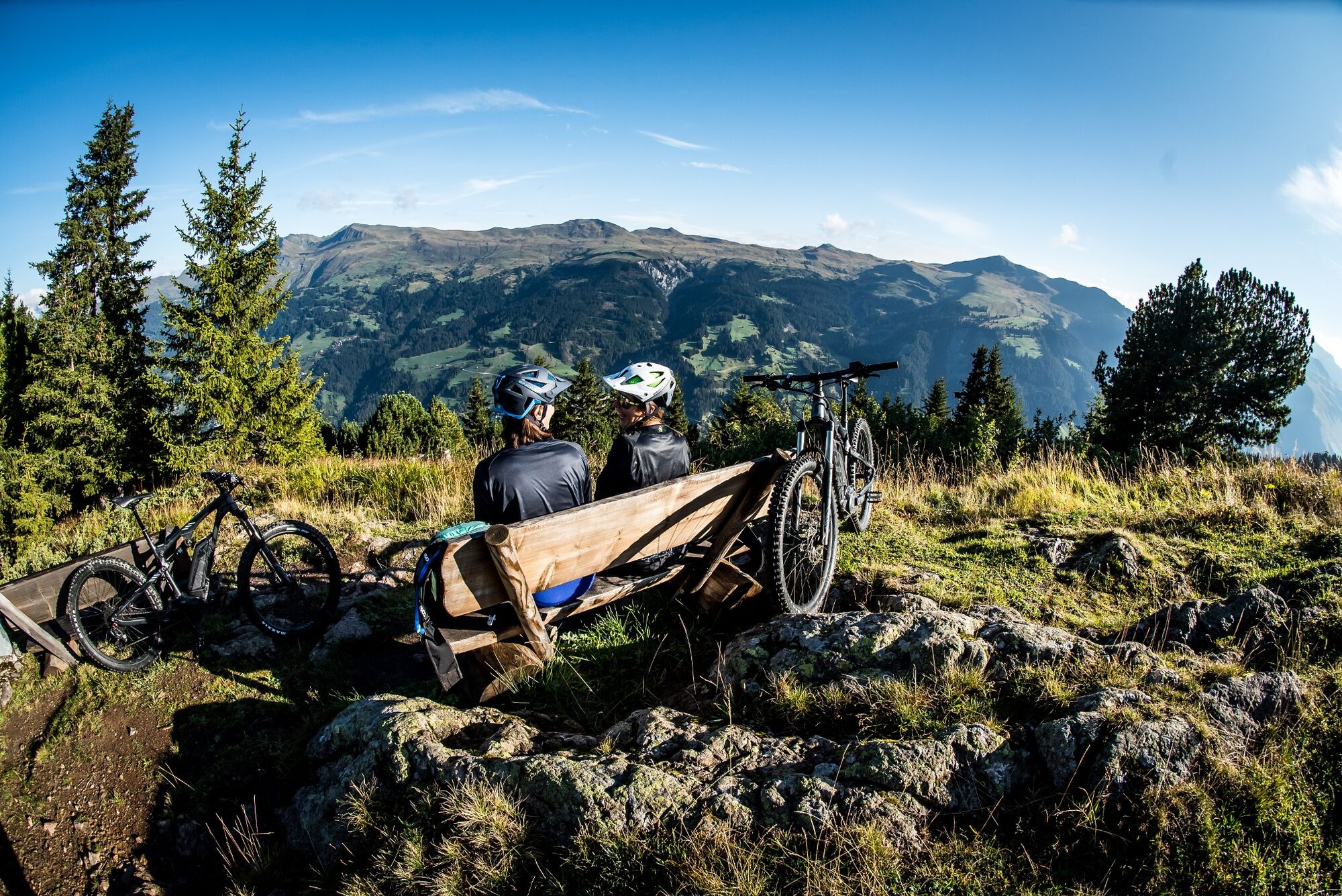
The Arosa Lenzerheide round tour is characterized by its easy climbs, challenging single trails and great downhill runs. From the lake Obersee in Arosa, forest roads lead to Carmennahütte. The ascents are ideal to ride before heading towards the steepest section in the direction of Hörnlihütte. On gravel roads and piste-machine slopes, endurance, strength and skill are required. On top it is recommended to have a rest in the Hörnlihütte.
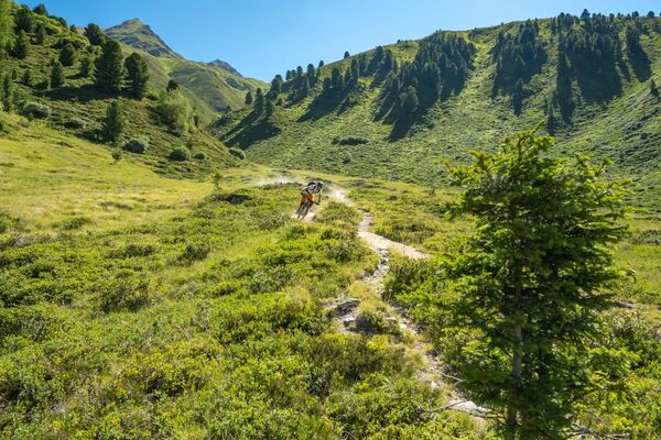
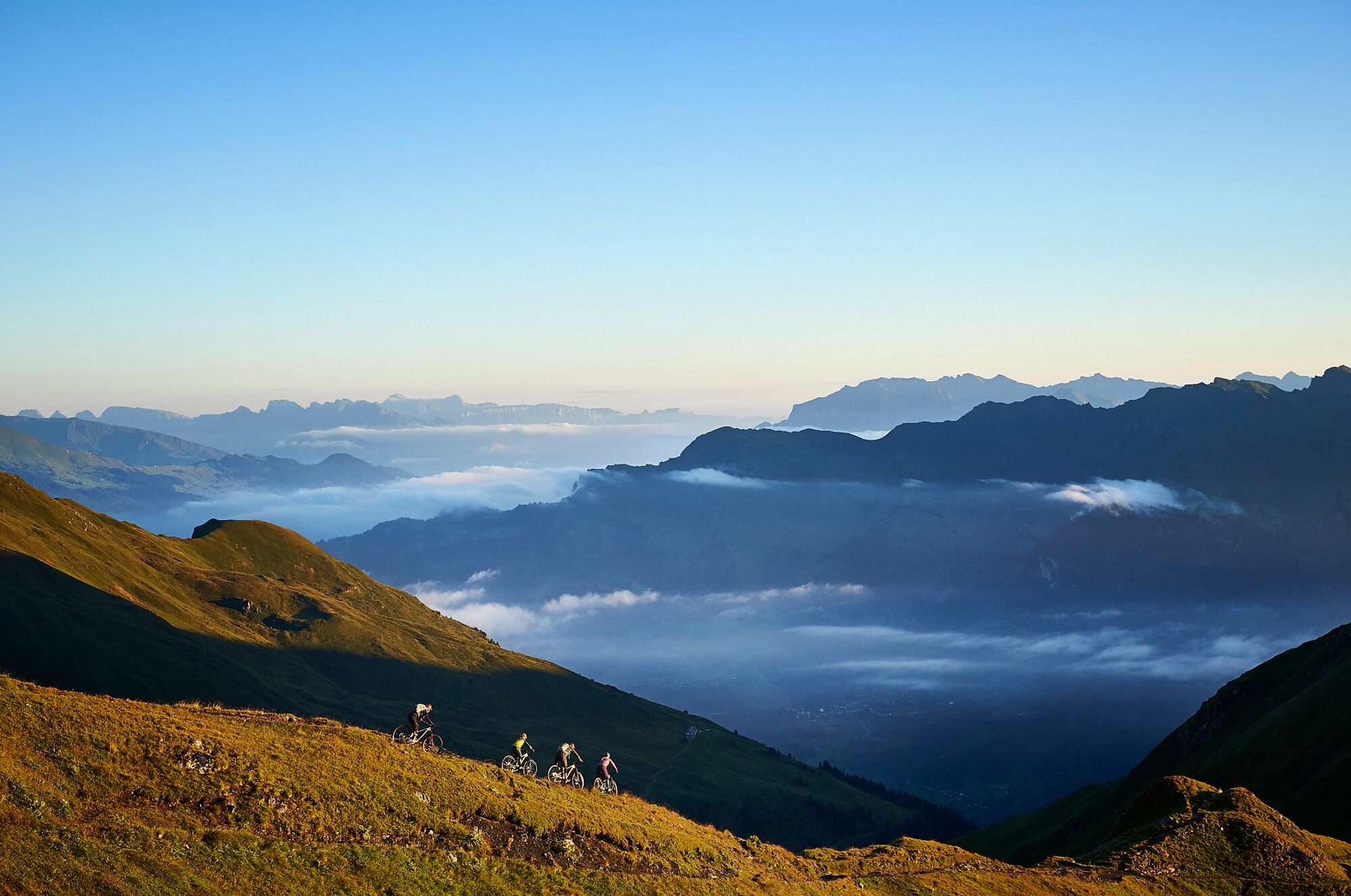
Well recovered, you will follow the tricky singletrails to the Urdenfürggli. The route through the unique Urdental challenges every biker with its difficult passages, but at the same time it also offers stunning views of the Grisons mountains.
From the Urdenfürggli it is then necessary to prepare the descent to Lenzerheide. The freeride trails are very diverse and can be enjoyed by professionals, as well as leisure bikers. After more than 1000m height difference one arrives surely with a lot of adrenaline, but also trembleing underarms in the Lenzerheide.
From Lenzerheide you continue on gravel and asphalt roads up to the Churerjoch. There you can enjoy a breathtaking view of the Chur Rhine Valley and the opposite Calanda Massif. Let's go with a challenging singletrail in direction of Tschiertschen. You continue over the Löser, with a short but yeasty climb to the Ochsenalp and over the Prätschalp to Arosa.
- Highest point
- 2,535 m
- Endpoint
-
Arosa
- Height profile
-
 © outdooractive.com


- Author
-
The tour 634 Arosa Lenzerheide Rundtour is used by outdooractive.com provided.


Surfaces
General info
-
Heidiland
336
-
Arosa Lenzerheide
259
-
Tschiertschen-Praden
98