- Brief description
-
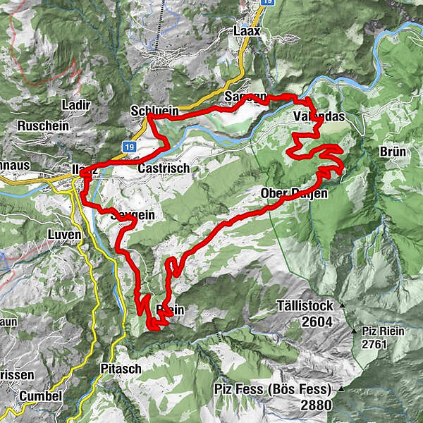
Longish, varied circular tour around the upper part of the Rhine Gorge, starting and finishing in Ilanz, the first town on the emerging Rhine.
- Difficulty
-
medium
- Rating
-
- Route
-
Ilanz (698 m)Ilanz (702 m)0.1 kmCasanova1.0 kmKästris (722 m)2.0 kmSchluein3.6 kmUstria Sil Plaz5.8 kmSagens (779 m)6.2 kmStiva Grischuna6.3 kmValendas-Sagogn (669 m)8.3 kmValendas9.4 kmGasthaus am Brunnen9.5 kmDorfbärg12.8 kmUnder Dutjen14.5 kmUf der Halda15.2 kmOber Dutjen16.6 kmLa Cresta17.5 kmDarmasal20.2 kmDarpinaus21.1 kmRiein (1,270 m)22.7 kmS. Nazarius22.7 kmQuadra23.1 kmGalogn23.9 kmPrauperver27.8 kmWallfahrtskapelle Sontga Fossa28.2 kmSeewis im Oberland (861 m)28.6 kmKirche Sevgein28.6 kmIlanz (702 m)30.8 km
- Description
-
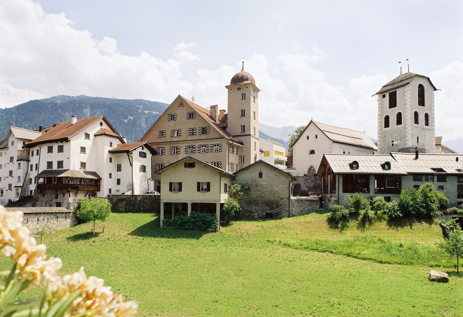
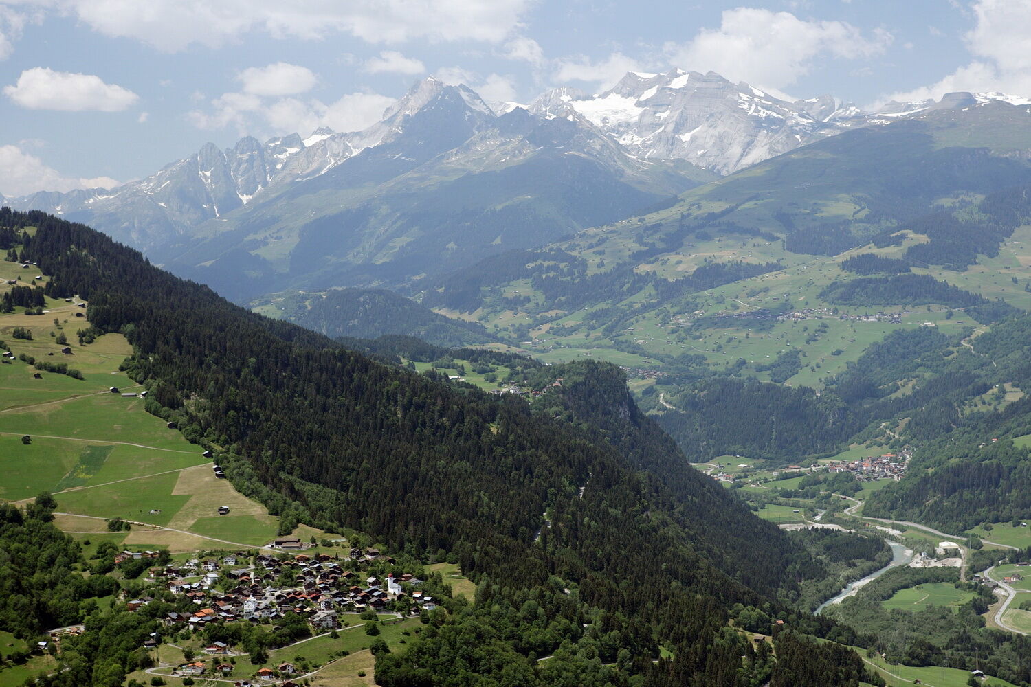
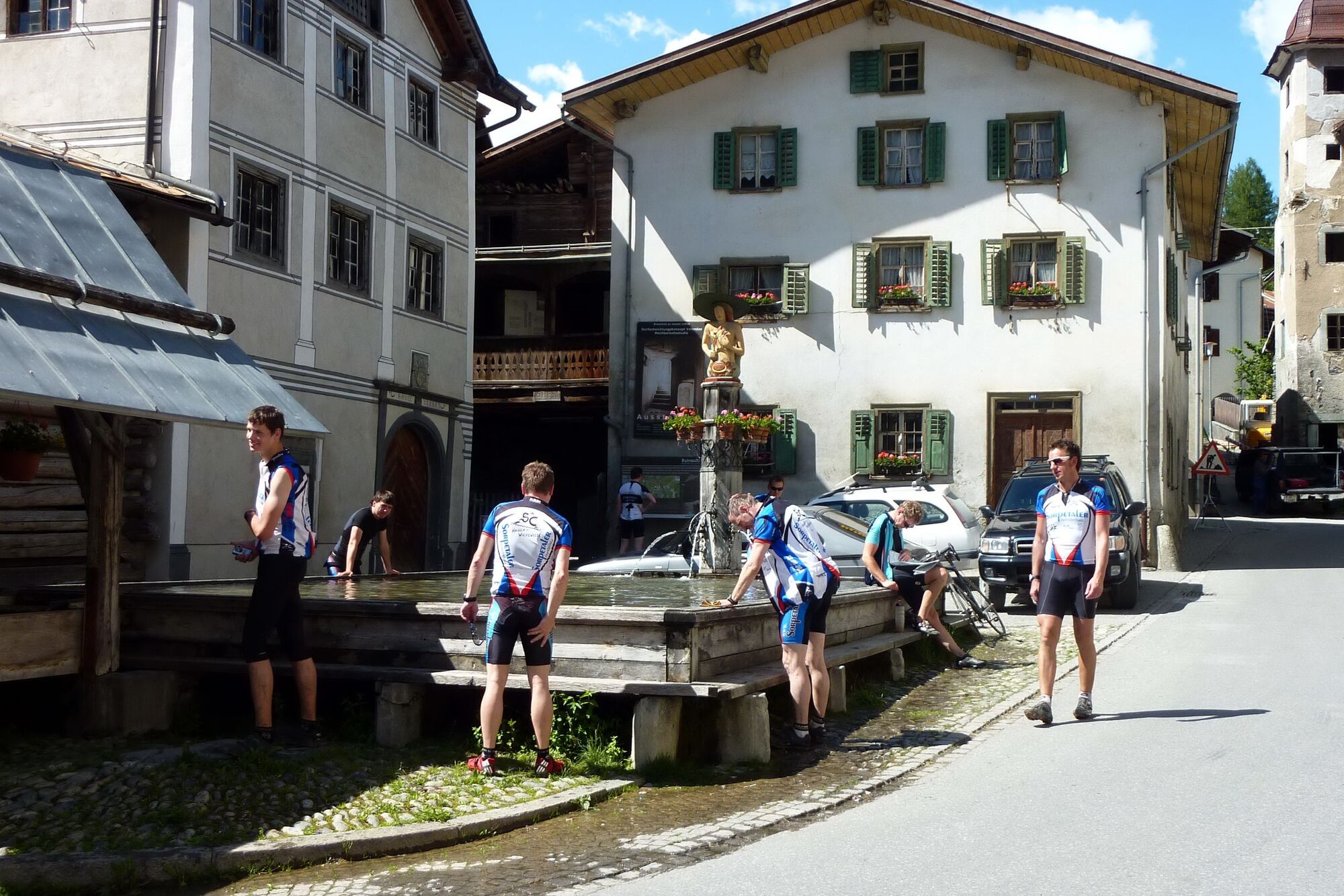
From Ilanz, the route runs alongside the emerging Rhine via Schluein to Sagogn. In Sagogn you take the forest road down to the Rhine. At the Valendas/Sagogn railway station you reach the lowest point of the tour. The restaurant in the station is open at the week-end and is an ideal place to fortify oneself before embarking on the climb to Dutien. The route takes you through Valendas with the biggest wooden fountain in Europe as well as several well-preserved 17th-century manor houses.
The climb happens on a quiet tarmacked road. The hamlets of Unterdutje and Oberdutje all still are part of Valendas. At the highest point, Cuolm Sura, you are treated to a unique view in to the Val Lumnezia and across the whole Grison Oberland and the Rhine Gorge. Furthermore you are rewarded with a view of a fabulous hill moor, located between several small, scattered mountain farms. A fast descent takes you through Rien and Savgein back to Ilanz.
- Highest point
- 1,597 m
- Endpoint
-
Ilanz Bahnhof
- Height profile
-
 © outdooractive.com

- Author
-
The tour 259 Cuolm Sura is used by outdooractive.com provided.


-
Glarnerland
341
-
Ilanz / Glion
188
-
Castrisch
122