


- Brief description
-
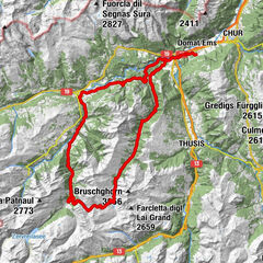
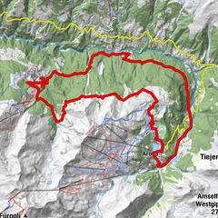
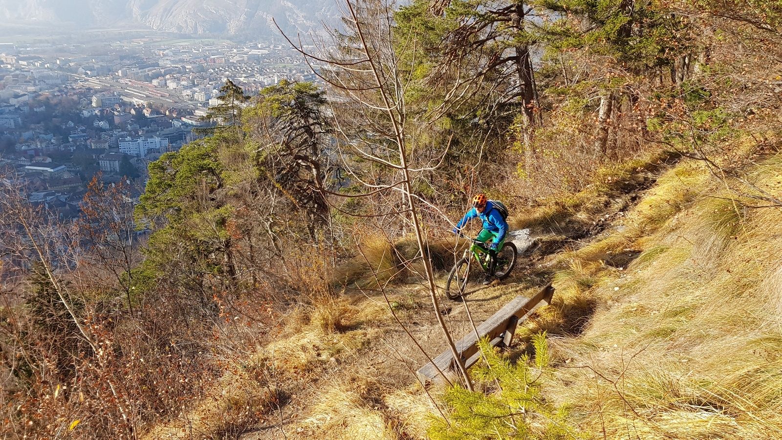
Singletrail highlight from Chur, which must be earned.
- Difficulty
-
medium
- Rating
-
- Starting point
-
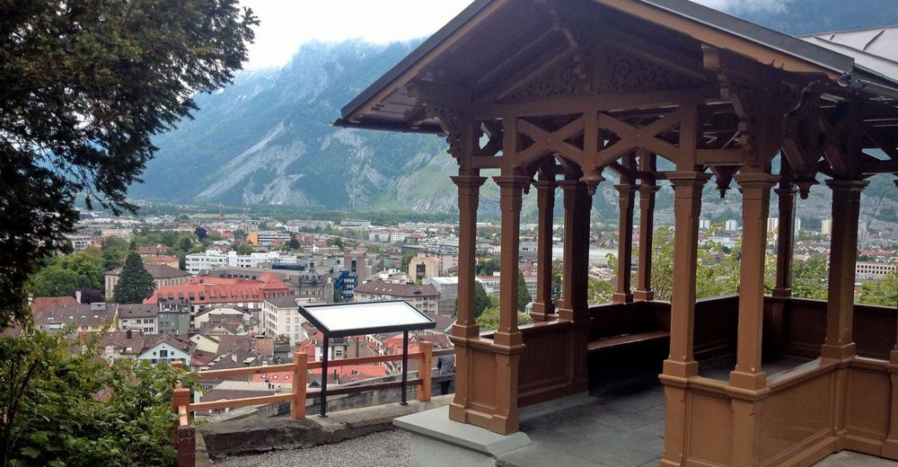
Chur, station
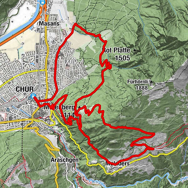
- Route
-
Chur (593 m)Loe Restaurant1.4 kmMittenberg (1,114 m)7.3 kmMaladers9.7 kmReformierte Kirche9.7 kmMittenberg (1,114 m)15.7 kmSt.Luzikapelle17.5 km
- Best season
-
JanFebMarAprMayJunJulAugSepOctNovDec
- Description
-
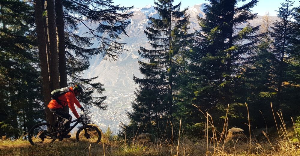
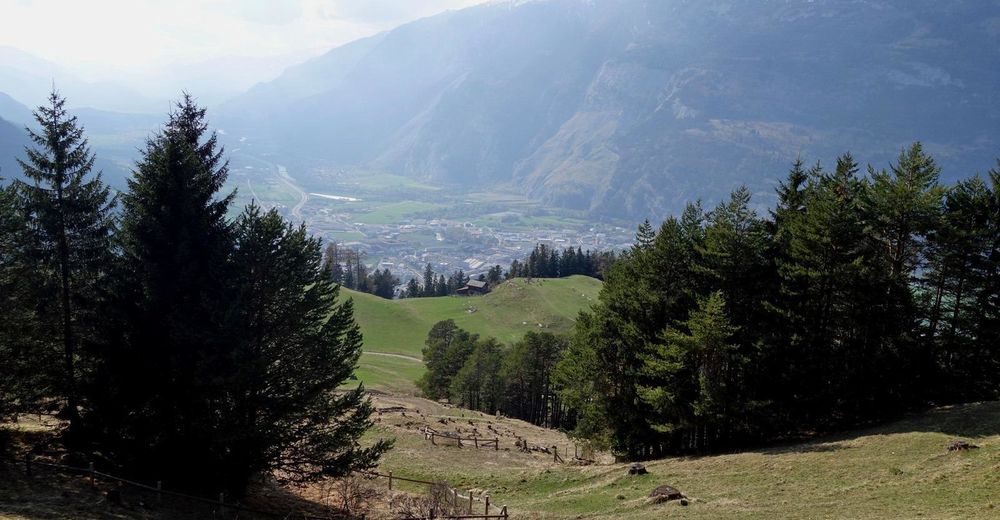
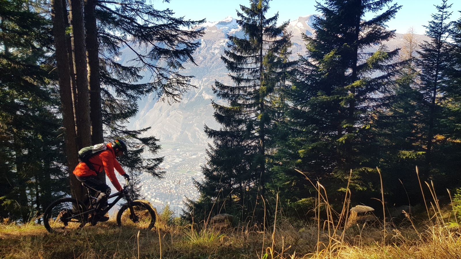
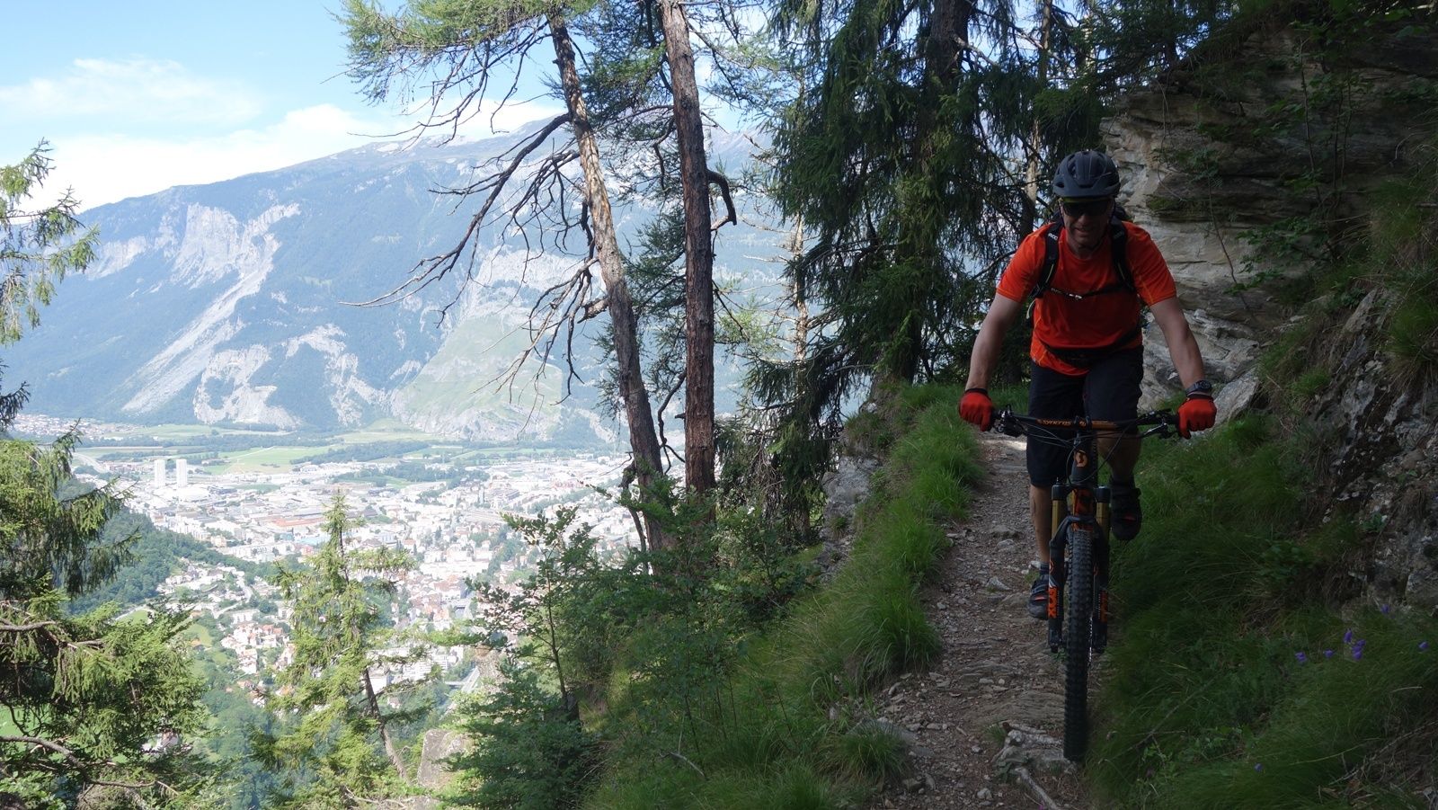
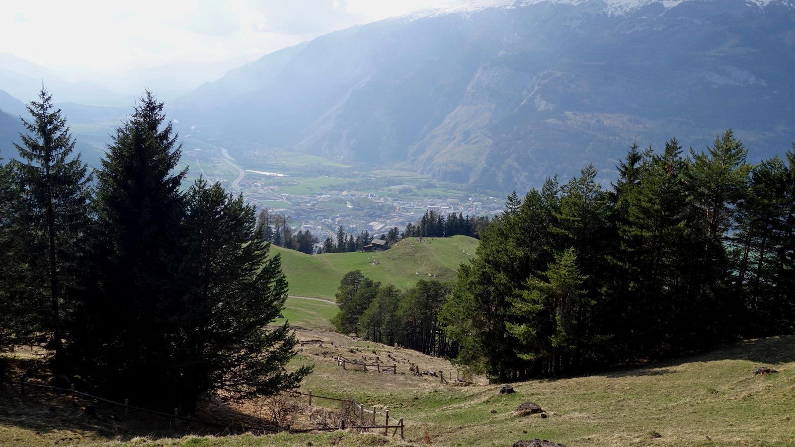
The Ochsenberg is the big brother of the Mittenberg. While the latter is well known in Chur as a popular bike mountain, only few know the Ochsenberg. It lies directly above the Mittenberg and the sensational trail descent must first be earned with a sweaty ascent. The more comfortable option is to take the post bus and bike from Chur to Maladers and thus avoid the first part of the ascent - this way, the Ochsenberg can even be mastered as an evening ride. But also the ascent from Maladers is still a bit difficult, less altitude meters, but relatively steep throughout. But more than worthwhile for this descent. A narrow single trail winds its way down to the Mittenberg, technically but continuously rideable. Once there, one can then immediately attach another fine trail descent back to Chur.
- Highest point
- 1,482 m
- Endpoint
-
Chur, station
- Height profile
-
 © outdooractive.com
-

-
AuthorThe tour Ochsenberg-Mittenberg is used by outdooractive.com provided.