© Outdooractive – 3D Videos

- Brief description
-
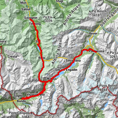
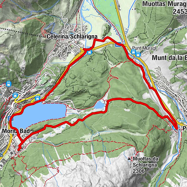
Staz - Pontresina
- Route
-
Sankt Moritz (1,822 m)0.6 kmHotel Restaurant Stazersee3.3 kmPontresina (1,774 m)5.5 kmCelerina (1,714 m)9.9 kmSankt Moritz (1,822 m)12.4 kmSankt Moritz Bad13.2 kmKirche Sankt Karl Borromäus13.7 km
- Highest point
- 1,838 m
- Height profile
-
 © outdooractive.com

- Author
-
The tour STM-MTB - Staz - Pontresina is used by outdooractive.com provided.
GPS Downloads


Other tours in the regions