© Engadin Tourismus AG - Silvan Caderas

© Engadin Tourismus AG - Silvan Caderas

© Engadin Tourismus AG - Sils Tourismus


© Engadin Tourismus AG - Silvan Caderas

© Engadin Tourismus AG - Silvan Caderas


- Brief description
-
From Sils Maria high above the green Lake of Silvaplana to the cosy bathing lake Lej Marsch and on the shore of the Lake of Silvaplana back to Sils Maria
- Difficulty
-
medium
- Rating
-
- Starting point
-
Sils Maria
- Route
-
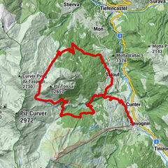
Sils im Engadin (1,803 m)Crastas0.0 kmBar Cetto0.1 kmCrastas Dadour0.1 kmPas-chs0.3 kmSuot l'Ova0.4 kmDavous Sellas0.4 kmSurlej4.9 kmWoods8.0 kmSchanzenareal8.1 kmSurlej11.7 kmDavous Sellas19.3 kmSuot l'Ova19.3 kmPas-chs19.4 kmCrastas Dadour19.6 kmSils im Engadin (1,803 m)19.7 kmBar Cetto19.7 kmCrastas19.8 km
- Best season
-
JanFebMarAprMayJunJulAugSepOctNovDec
- Description
-
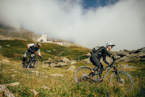
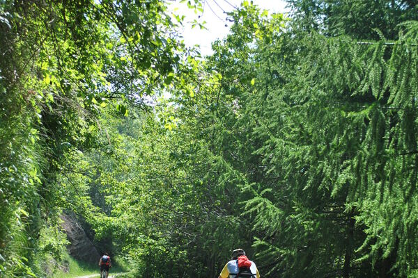
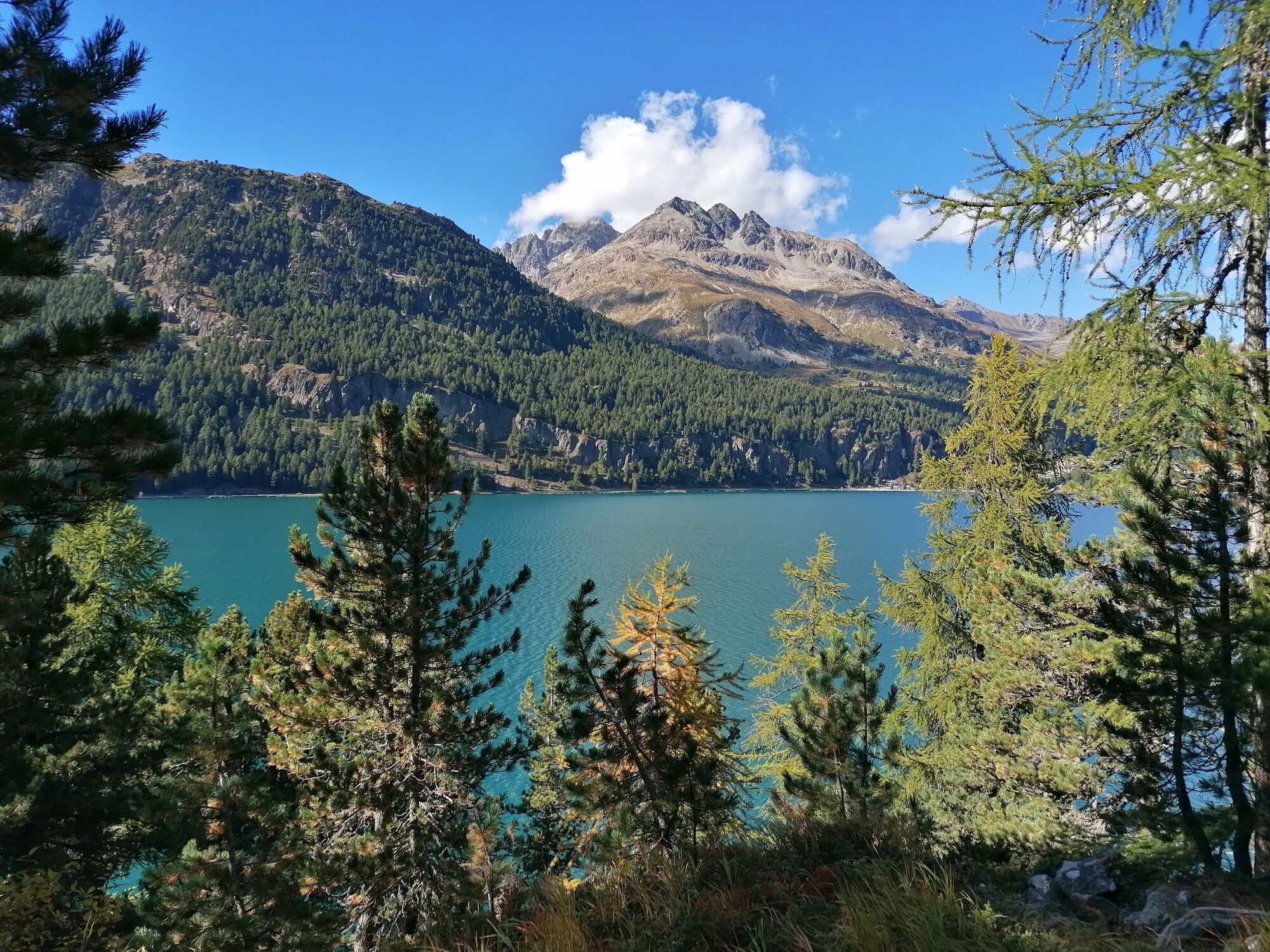
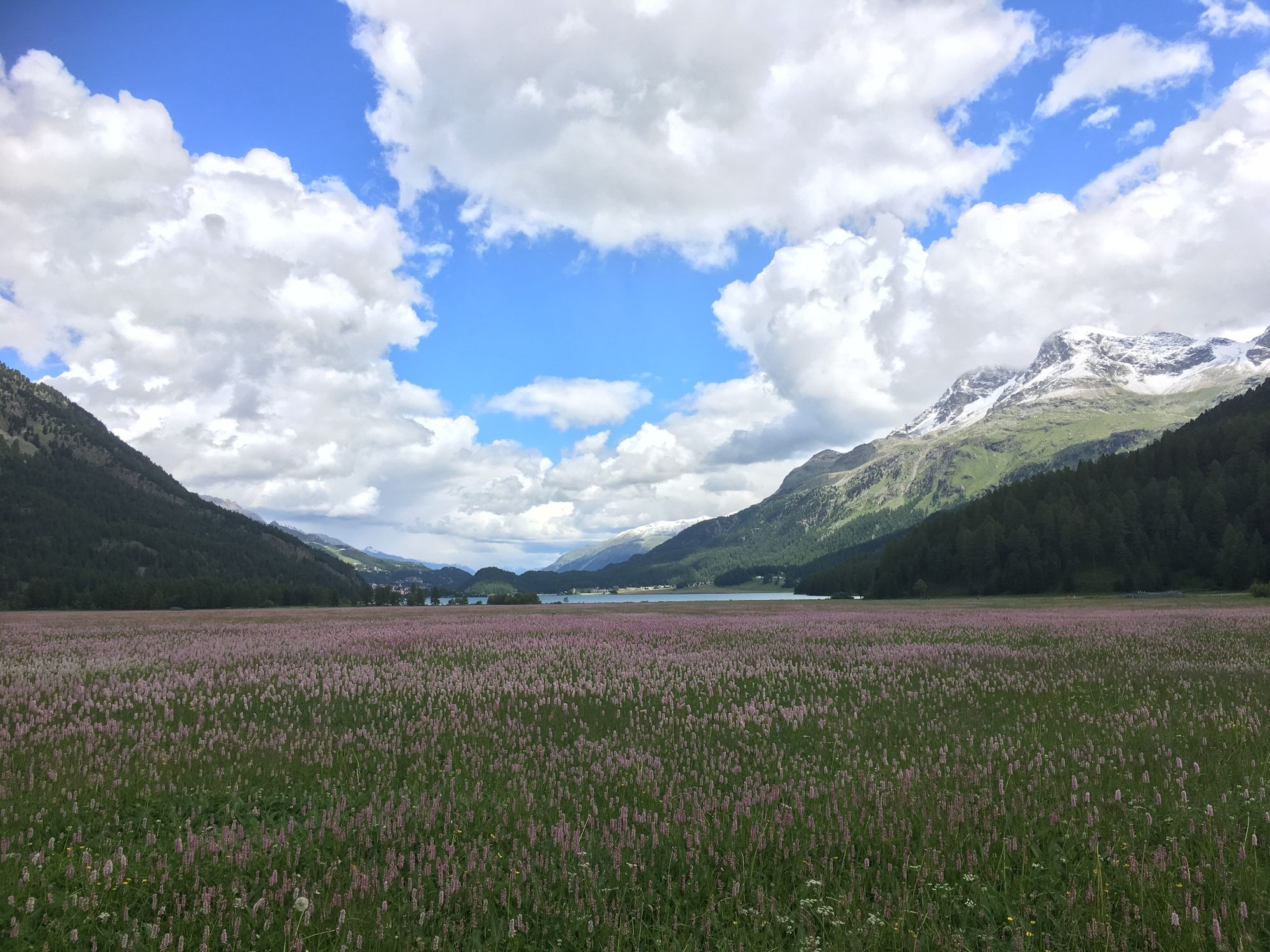
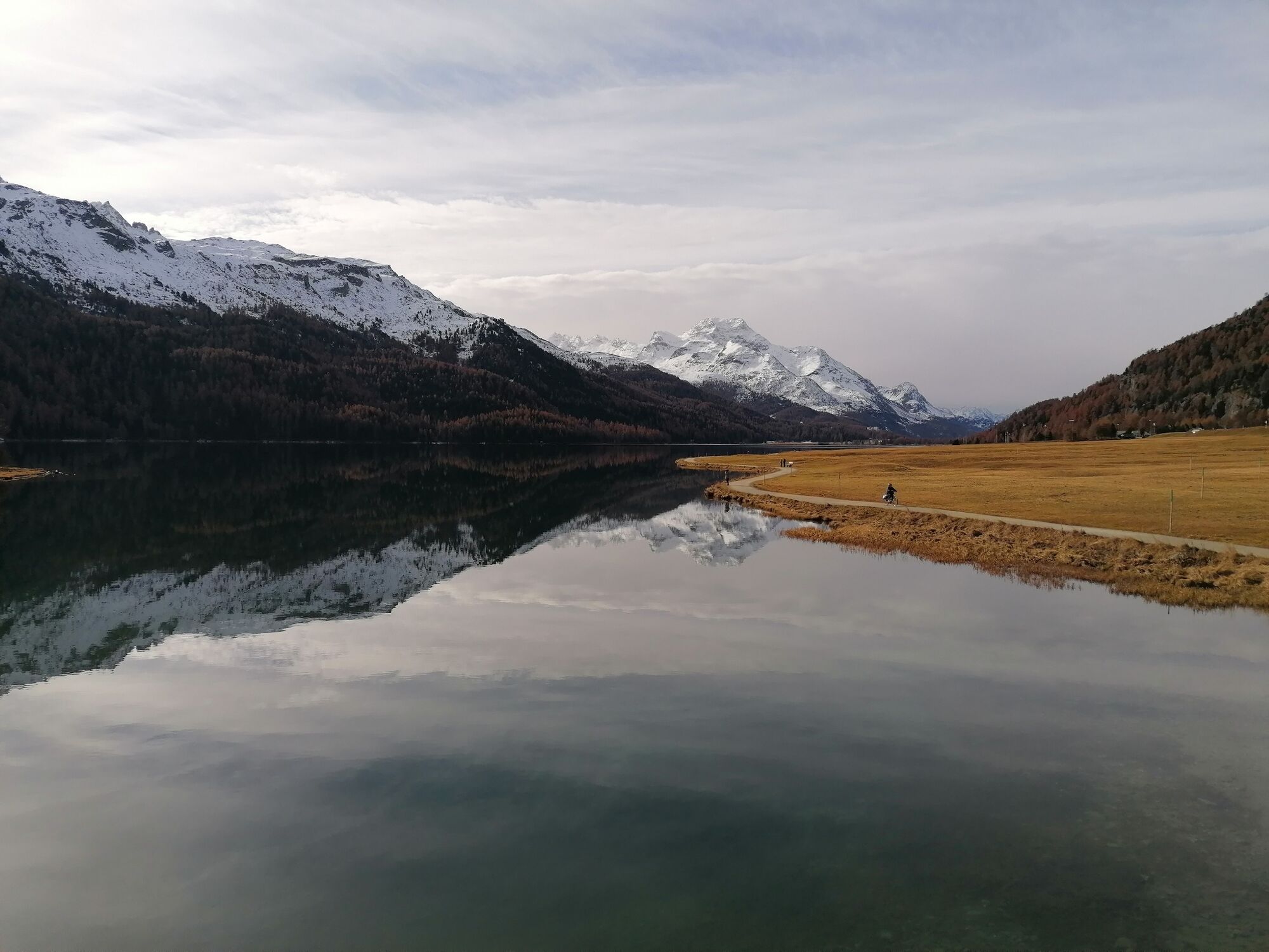
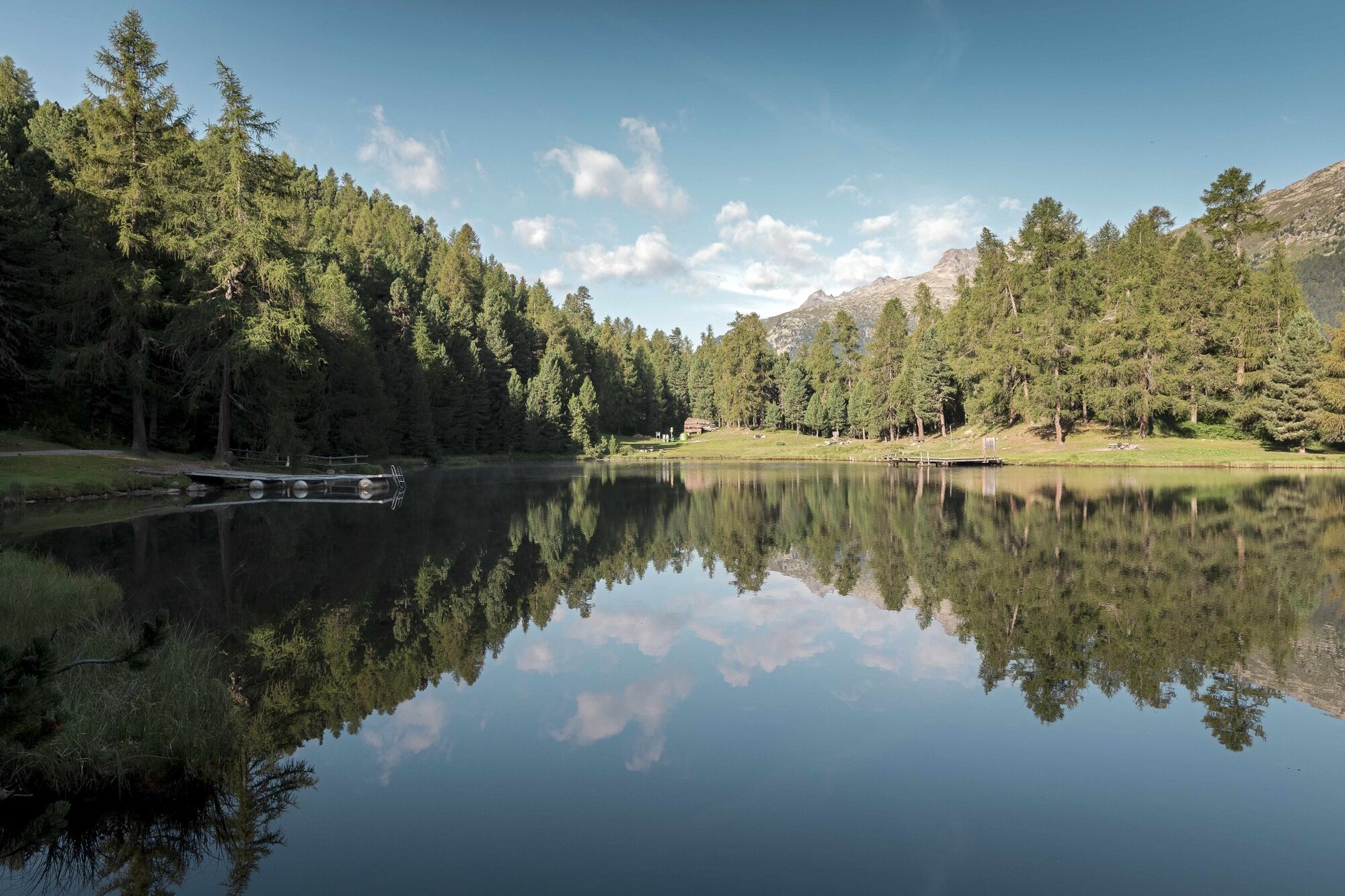
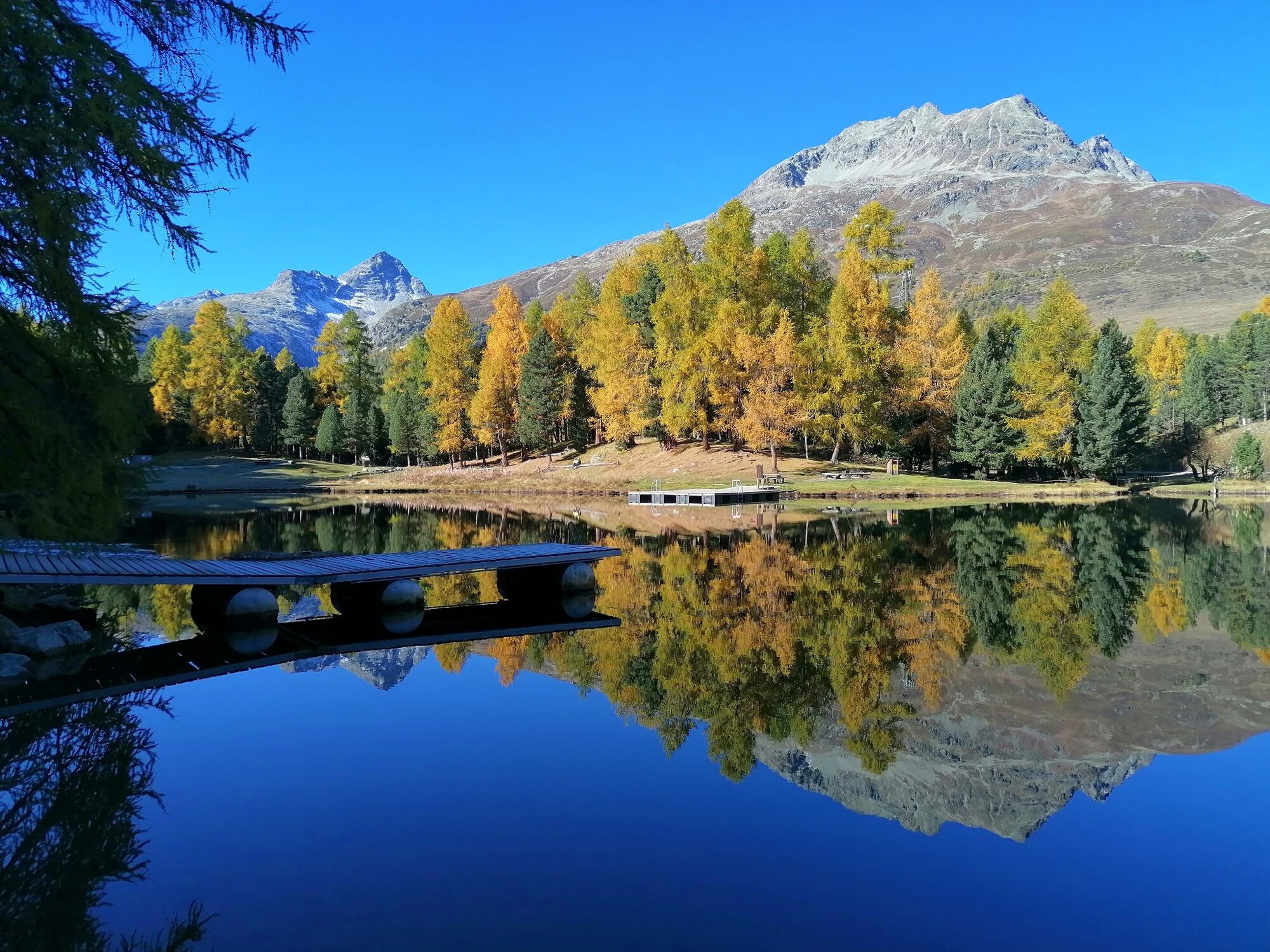
Past the valley station of the Furtschellas cable car, the trail leads along the shore of Lake Silvaplana to Surlej. When the Maloja wind blows, many water sports enthusiasts cavort on this lake and the lake is dotted with many colourful windsurfers, kitesurfers and sailors flying over the lake and the waves. The tour continues past Crap da Sass Castle to the enchanted Lej Ovis-chel and along the Inn to Lej Marsch. The bathing lake, which is often pleasantly warm by Engadin standards, and its immediate natural surroundings invite you to swim, picnic and barbecue. Return past Lej Nair and Lej Zuppò up to the high moorland plain of Palüd Lungia and on to Surlej. The official mountain bike route no. 1 takes you high above Lake Silvaplana through the varied and impressive mountain forest back to Sils. The views of Lake Silvaplana, which often glows mint green, never cease to amaze.
More information
Engadin St. Moritz Tourismus AG
Via Maistra 1
CH-7500 St. Moritz
Phone: +41 81 830 00 01
E-mail: allegra@engadin.ch
Internet: www.engadin.ch - Directions
-
Sils Maria - lake of Silvaplana - Surlej - Lej Marsch - Lej Nair - Lej Zuppò - Palüd Lungia - Surlej - Alp Surlej - Sils Maria
- Highest point
- 2,080 m
- Endpoint
-
Sils Maria
- Height profile
-
 © outdooractive.com
 - Safety instructions
-
This tour leads along official hiking trails and forest roads. Consideration and caution are expected.
- Tips
-
On the moor lakes Lej Zuppò, Lej Nair and Lej Marsch there are cosy barbecue areas.
- Additional information
- Directions
-
Engadin - Sils Maria
- Public transportation
-
Bus stop Sils/Segl Maria, Posta
- Parking
-
car park Sils/Segl Val Fex


- Author
-
The tour Sils - Surlej - Lej Marsch - Sils is used by outdooractive.com provided.
GPS Downloads


General info
Refreshment stop
Flora
A lot of view
Other tours in the regions
-
Veltlin / Valtellina
204
-
Engadin St. Moritz
171
-
Silvaplana
69