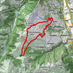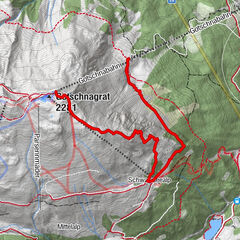

- Brief description
-
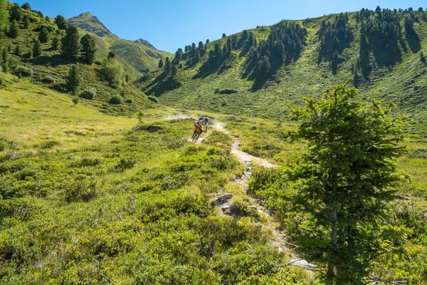
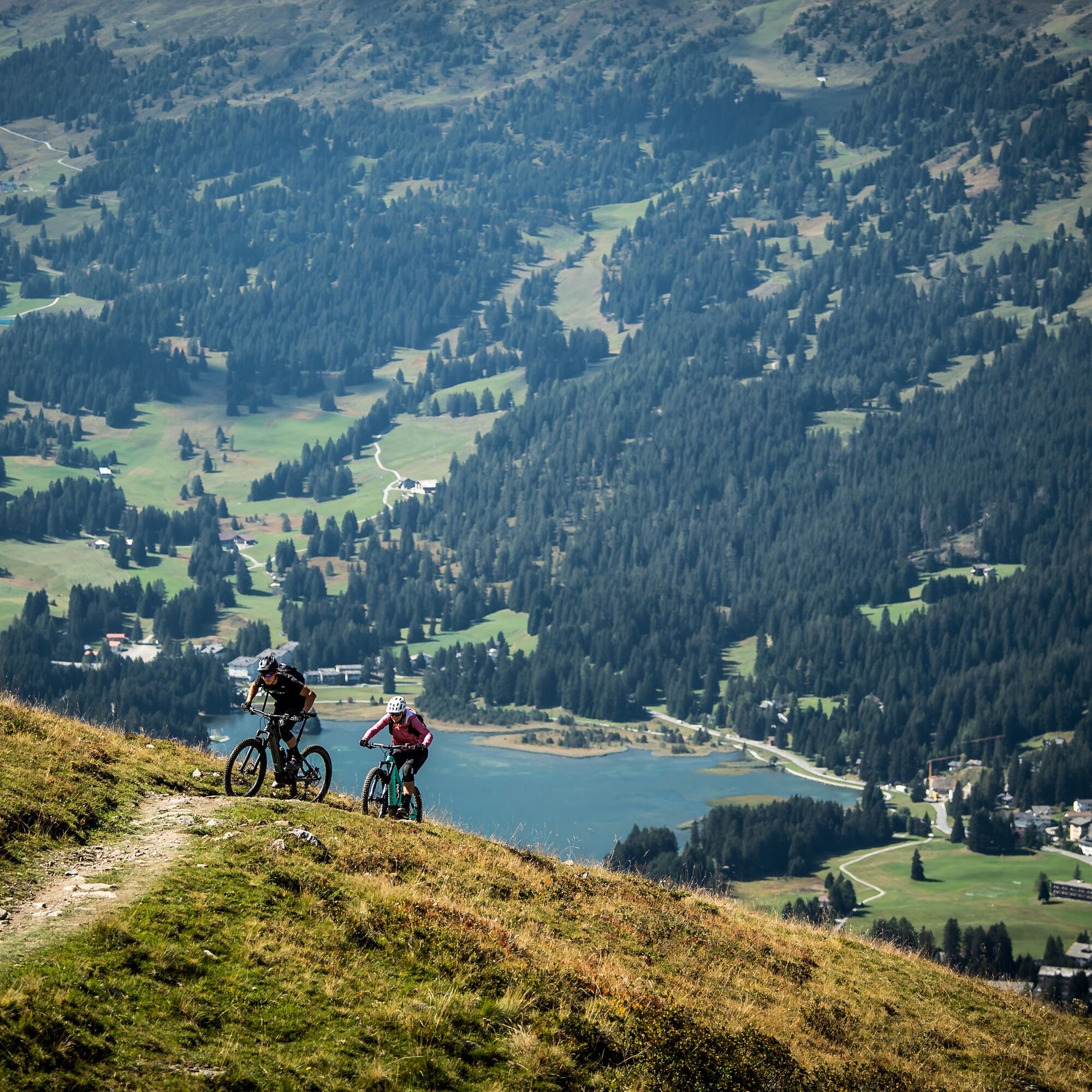
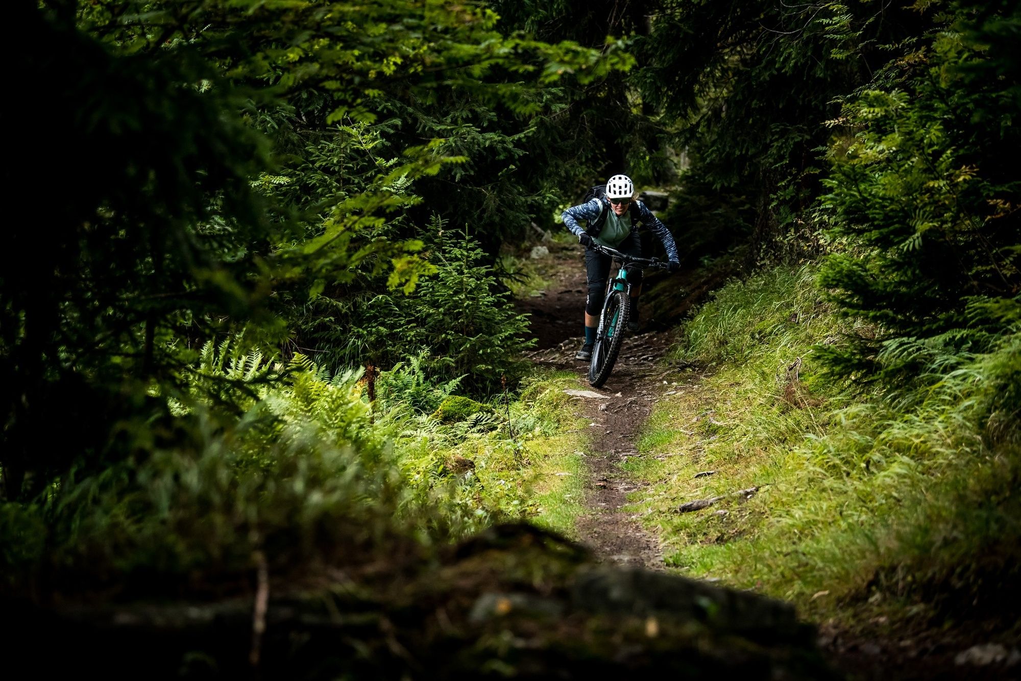
The mother of all Enduro tours, the Biketicket 2 RIDE has been adapted for the E-Bike. This means: singletrails, uplifts and, thanks to motor support, also great uphill trails.
- Difficulty
-
medium
- Rating
-
- Starting point
-
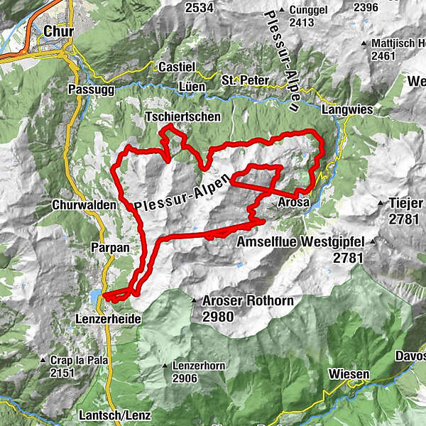
Arosa Talstation Weisshorn or Lenzerheide Talstation Rothron
- Route
-
Station Scharmoin (1,904 m)1.3 kmScharmoin1.3 kmHeimberg (1,996 m)2.8 kmFoppa (1,753 m)8.1 kmChurer Joch (2,020 m)10.5 kmGruoba11.5 kmHüenerchöpf12.7 kmBergrestaurant Hühnerköpfe13.0 kmAlp Farur13.7 kmBergrestaurant Furgglis15.7 kmOchsenalp23.0 kmArosa (1,739 m)31.5 kmMitterer Hütte31.7 kmBrüggerstuba31.7 kmWeisshorngipfel33.6 kmWeisshorn (2,653 m)33.6 kmSattelhütte36.2 kmMitterer Hütte39.7 kmBrüggerstuba39.8 kmInnerarosa (1,820 m)43.2 kmAlpenblick44.1 kmInnerarosa (1,820 m)51.4 kmHörnligrat (2,496 m)51.6 kmHörnligrat (2,500 m)54.5 kmUrdenfürggli (2,562 m)56.3 kmUrdenfürggli (2,546 m)56.4 kmMotta Hütte57.8 kmStation Scharmoin (1,904 m)61.1 kmKugelbahn Scharmoin61.2 kmScharmoin61.2 kmFreeflow Restaurant61.2 km
- Best season
-
JanFebMarAprMayJunJulAugSepOctNovDec
- Description
-
The Biketicket 2 Ride promise is also kept with this variant. A high proportion of singletrails with a varation of different trails. This is an ideal connection between Arosa and Lenzerheide. Thanks to the electric motor, gentle climbs are now an experience too. However, the 1,000 metres of altitude difference that have to be mastered on your own are no walk in the park. It is therefore advisable to manage the performance of the battery skilfully.
If you start in Arosa, the Bosch charging station at Scharmoin is ideal for making a short stop and charging the battery at the charging station and your own body in the Scharmoin restaurant.
- Directions
-
Start in Arosa
Arosa - Weishorn - Maraner Hauptji - Talstation Hörnli Express - Hörnli - Talstation Hörnli Express - Urdenbahn - Urdenfürggli - Scharmoin - Talstation Rothorn - Scharmoin - Foppa - Churer Joch - Bergrestaurant Hühnerköpfe - Zeznas - Runcaspinas - Löser - Ochsenalp - Arosa
Start in Lenzerheide
Talstation Rothorn - Scharmoin - Foppa - Churer Joch - Bergrestaurant Hühnerköpfe - Zeznas - Runcaspinas - Löser - Ochsenalp - Arosa - Weishorn - Maraner Hauptji - Talstation Hörnli Express - Hörnli - Talstation Hörnli Express - Urdenbahn - Urdenfürggli - Scharmoin - Talstation Rothorn
- Highest point
- 2,638 m
- Endpoint
-
Arosa Talstation Weisshorn or Lenzerheide Talstation Rothron
- Height profile
-
 © outdooractive.com
 - Safety instructions
-
Please note: The chairlifts Tgantieni, Scalottas and Weisshorn 2 do not transport downhill bikes (double suspension fork).
Note for e-bikes: Only bikes with a maximum weight of 25 kg are transported on the gondola lifts Chur-Brambrüesch 2nd section and Hörnli-Express.
Please note the respective operating times as well as the transport criteria at Scalottas and Weisshorn before you start the tour. You can find more information here
Plan enough time and respect other trail users - trail tolerance!
- Tips
-
The tour can be started in Arosa or Lenzerheide.
The Bosch charging station on the Scharmoin middle station ensures a full battery when starting from Arosa on the return journey.
- Directions
-
Von Basel und Zürich - Chur-Süd (Ausfahrt Nr. 17) - Lenzerheide.
Von Milano - Lugano - San-Bernadino-Tunnel - Thusis - Chur (Ausfahrt Lenzerheide) - Lenzerheide.
- Public transportation
-
Travel by train to Chur, then transfer directly to the PostautoGraubünden buses to reach Lenzerheide within 30 minutes.
- Parking
-
Lenzerheide: Car park at the entrance to Lenzerheide village or at the Rothornbahn valley station.
- Author
-
The tour E-Biketicket 2 RIDE red is used by outdooractive.com provided.


Surfaces
General info
-
Heidiland
337
-
Arosa Lenzerheide
260
-
Tschiertschen-Praden
98