
- Brief description
-
Tough single trails on the loop to Alp Laret make stage 2 of the Regional Bikeroute Engiadina Bassa 442 even more attractive. Optionally save the first 400 hm and start at the mountain station of the Ftan-Prui chairlift.
- Difficulty
-
difficult
- Rating
-
- Starting point
-
PostBus stop Ftan, cumün
- Route
-
Fetan (1,648 m)0.7 kmAlp Clünas (2,444 m)7.9 kmLaret (2,188 m)10.9 kmPlazzöl17.0 kmFetan (1,648 m)17.1 km
- Best season
-
JanFebMarAprMayJunJulAugSepOctNovDec
- Description
-
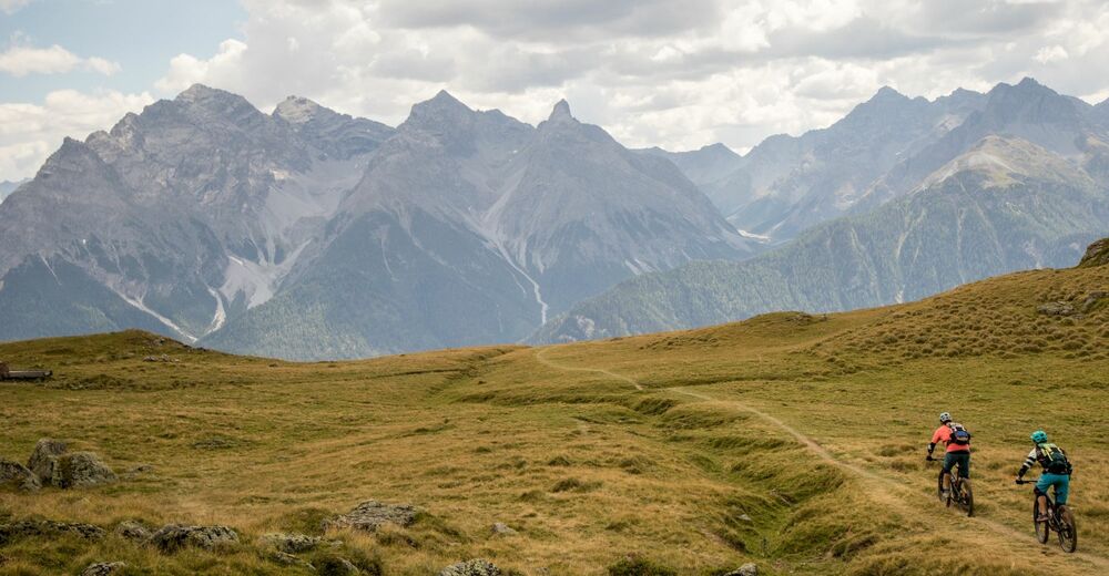
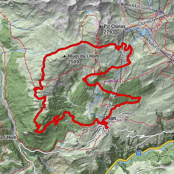
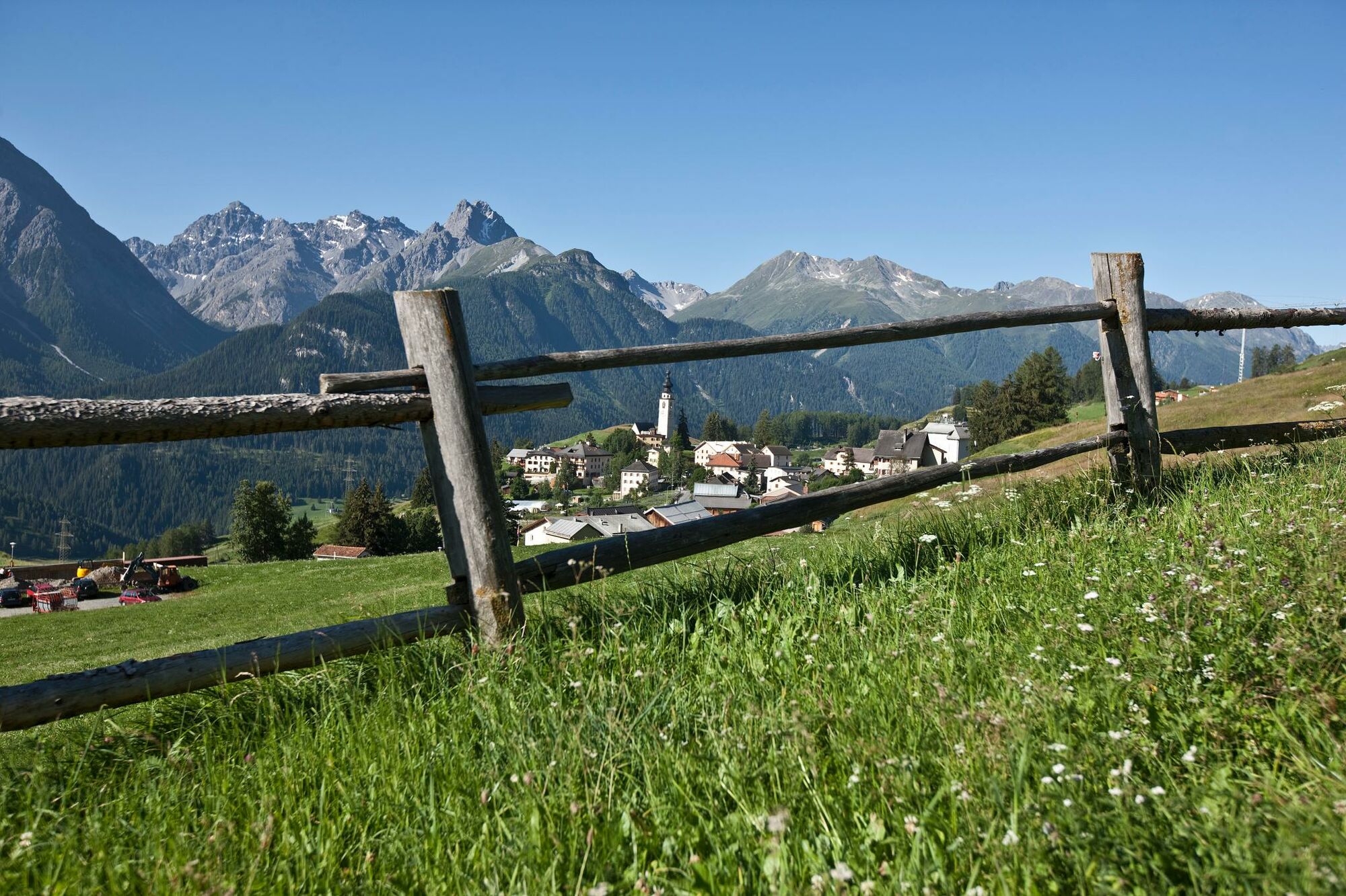
The loop from Ftan is a treat for mountain bikers. The ascent via Prui to Schlivera to Alp Clünas and Muot da l'Hom is a real challenge. But it compensates with an impressive view over the Lower Engadine. At Muot da l'Hom, the descent begins on single trails to Alp Laret. After a well-deserved and recommendable break at Alp Laret, the last descent follows on forest roads back to Ftan.
- Directions
-
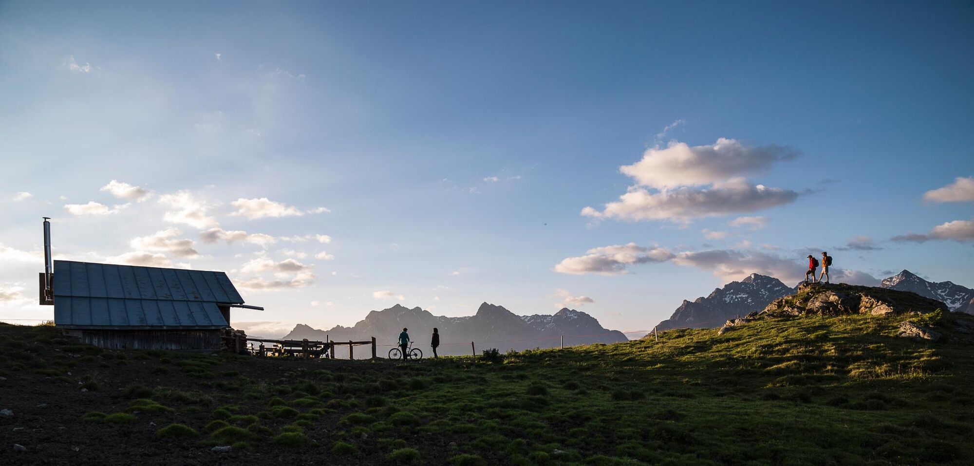
From Ftan, head north on a wide forest road to below Prui to point 2006, where the trail branches off to the left into the forest and leads in a wide arc to above the timberline. At Schlivera, the route leads away to the left to Alp Clünas, which is reached in a last more strenuous ascent. At Muot da l'Hom (2500 m) the highest point of the tour is reached and a crisp descent on single trails follows to Alp Laret, which is open to the public in high summer. From Alp Laret, the route is relaxed on the wide forest road down to Ftan to the stage destination.
- Highest point
- 2,505 m
- Endpoint
-
PostBus stop Ftan, cumün
- Height profile
-
 © outdooractive.com
 - Equipment
-
Helmet, gloves, good shoes, glasses, rain and sun protection, water bottle, repair kit, first aid kit.
- Safety instructions
-
The tour was evaluated in favourable weather conditions, current weather conditions and weather forecasts must be taken into account before starting the tour. This tour requires a high level of riding safety, balance and technical riding skills.
Emergency call:
144 Emergency, first aid
1414 Mountain rescue REGA
112 International emergency call.
Show consideration when crossing and overtaking hikers. Most of the mountain bike routes in Graubünden run on single trails that are also signposted as hiking trails. Hikers always have the right of way.
- Additional information
- Directions
-
- From the north: via Landquart - Klosters by car transport through the Vereina Tunnel (Selfranga - Sagliains) or via the Flüela Pass into the Lower Engadine on H27.
- From the east: via Landeck / Austria in the direction of St. Moritz on H27
- From the south: via Reschenpass (Nauders-Martina) or Ofenpass (Val Müstair-Zernez) on H27
- Public transportation
-
- By Rhaetian Railway (from Chur, Landquart/Prättigau, from the Upper Engadine or from Scuol) hourly to Scuol/Tarasp station.
- Continue by bus to Ftan
- Parking
-
Paid parking in Scuol or Ftan


- Author
-
The tour Round tour Ftan is used by outdooractive.com provided.


General info
-
Engadin Scuol Zernez
213
-
Ftan
49