


- Brief description
-
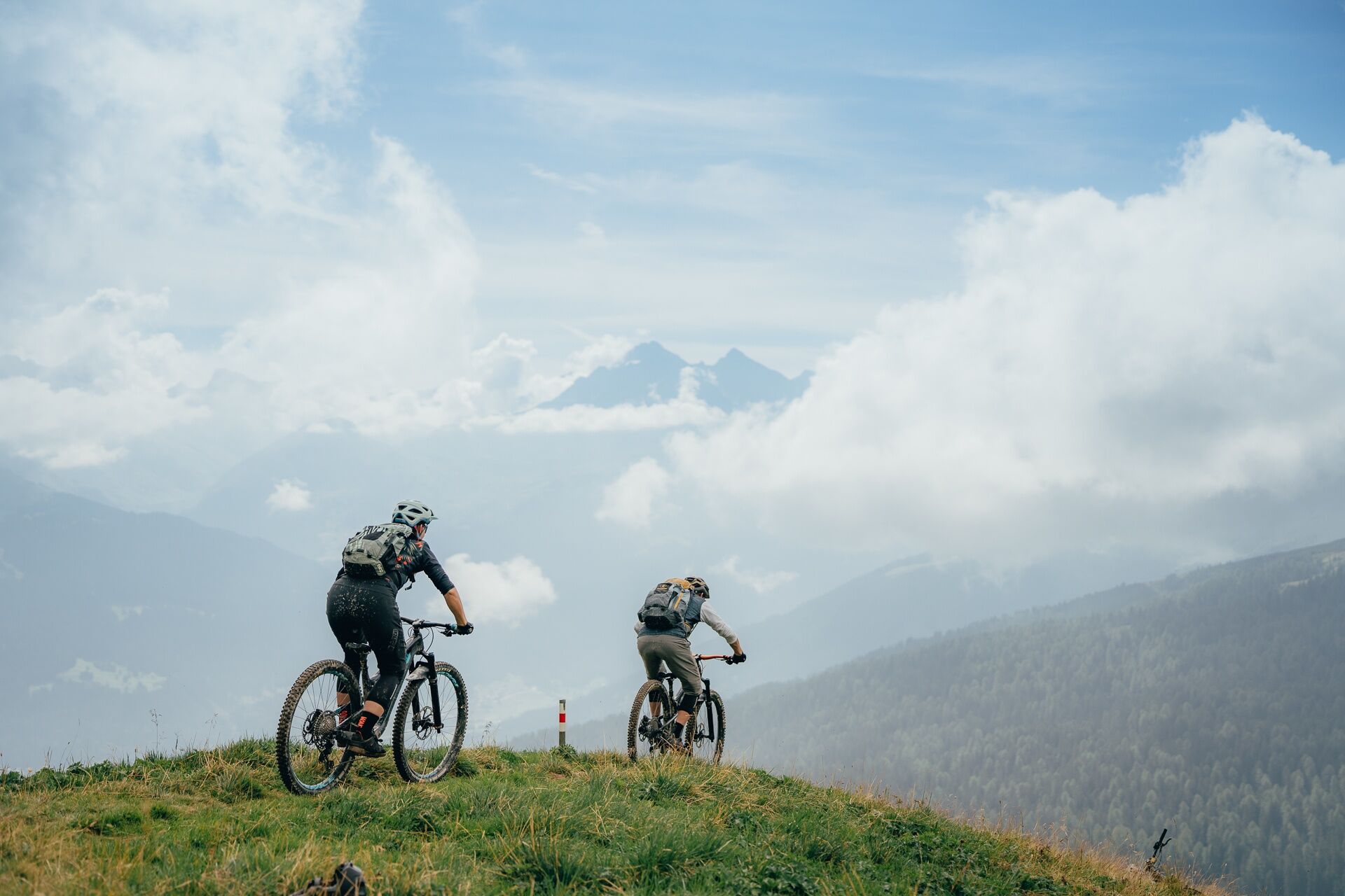
A demanding tour to Europe's highest place of pilgrimage. With a power-sapping climb and technically difficult descent, the tour is rich with variety.
- Difficulty
-
difficult
- Rating
-
- Route
-
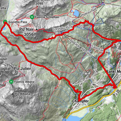
Savognin (1,207 m)0.0 kmConters (1,182 m)1.2 kmRiom1.9 kmBaselgia San Luregn2.0 kmUstaraia Taratsch2.1 kmParsonz2.9 kmSalux (1,258 m)5.1 kmRatitsch (1,927 m)11.1 kmMunter (1,952 m)11.4 kmFurcletta (2,347 m)14.4 kmKirche Ziteil15.0 kmAlp Ziteil (1,903 m)16.1 kmCre digl Lai17.9 kmBargung19.6 kmParsonz24.8 kmUstaraia Taratsch25.7 kmBaselgia San Luregn25.7 kmRiom25.7 kmConters (1,182 m)26.5 kmSavognin (1,207 m)27.7 km
- Best season
-
JanFebMarAprMayJunJulAugSepOctNovDec
- Description
-
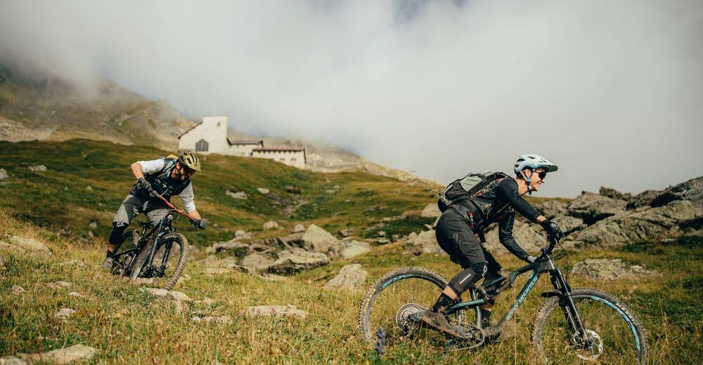
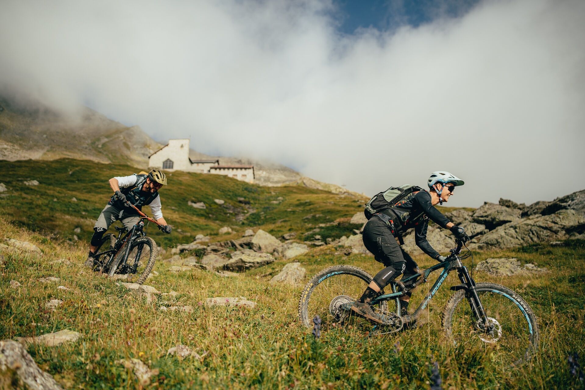
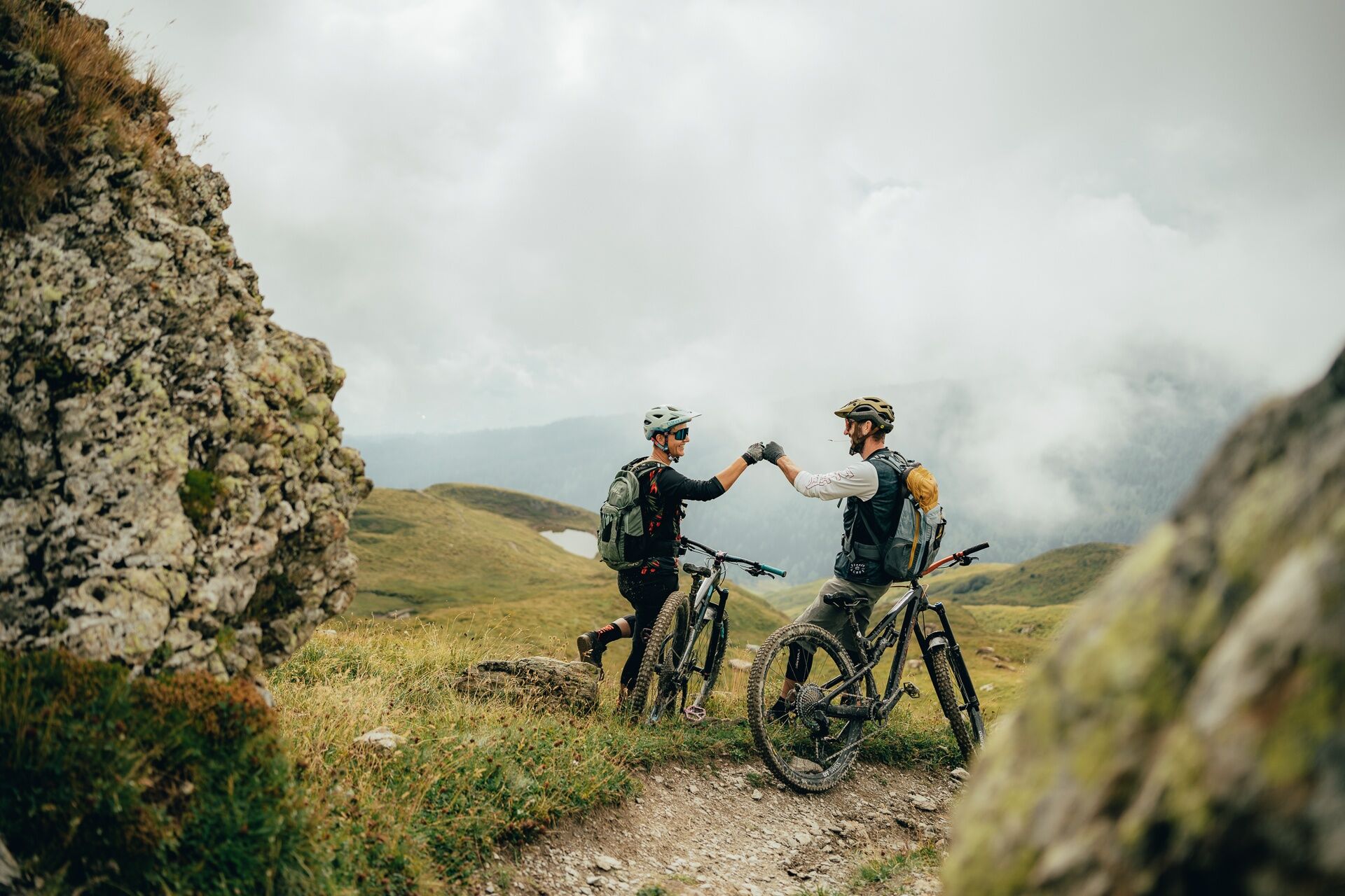
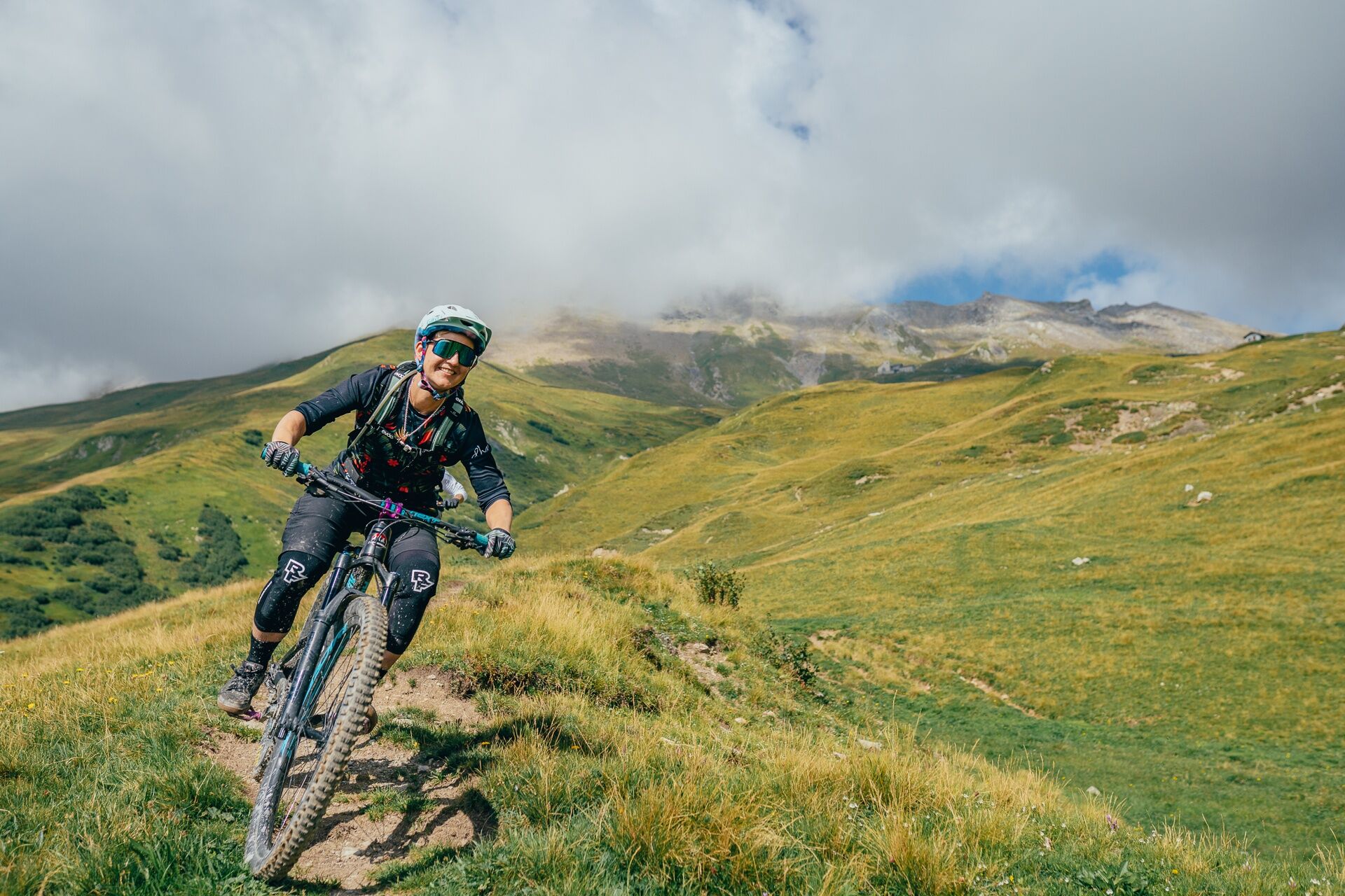
The tour «Heaven's Door» is by anyone standards a challenge and diverse. The start is the car park for the cable car Savognin. From here the route passes by Dorf Riom and Burg Rezia Ampla and onto Tigignas. The castle provides the setting for the annual Origen Cultural Festival in the Raeto-Romansch language. From there the route takes a steep incline forest road and then a single track to Ziteil, the highest place of pilgrimage in Europe at 2433 metres.
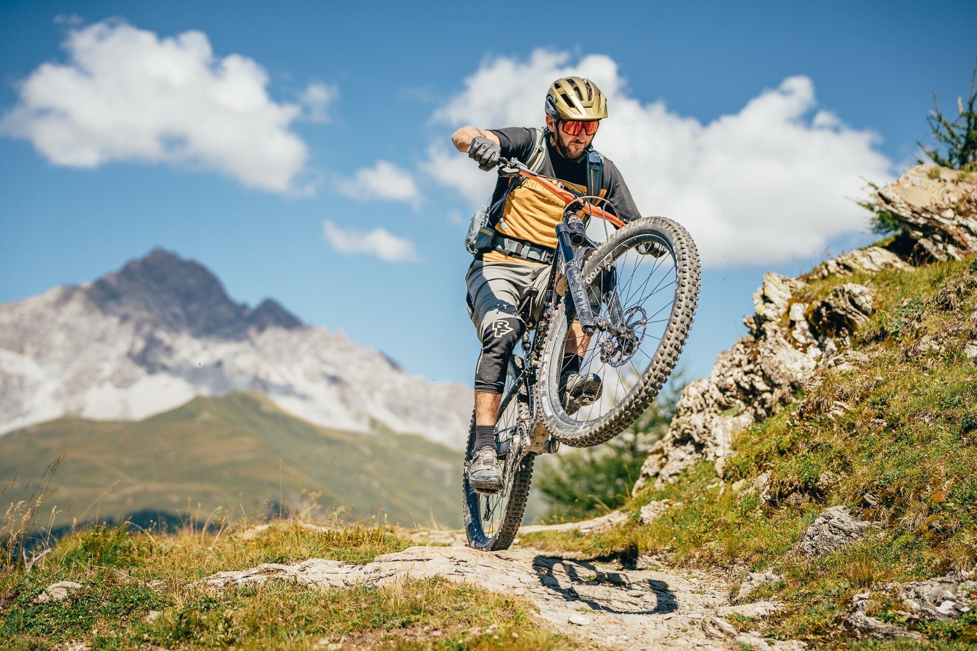
A visit to the church is well-worth it. The giant church window affords an exceptional panorama over the Surses.
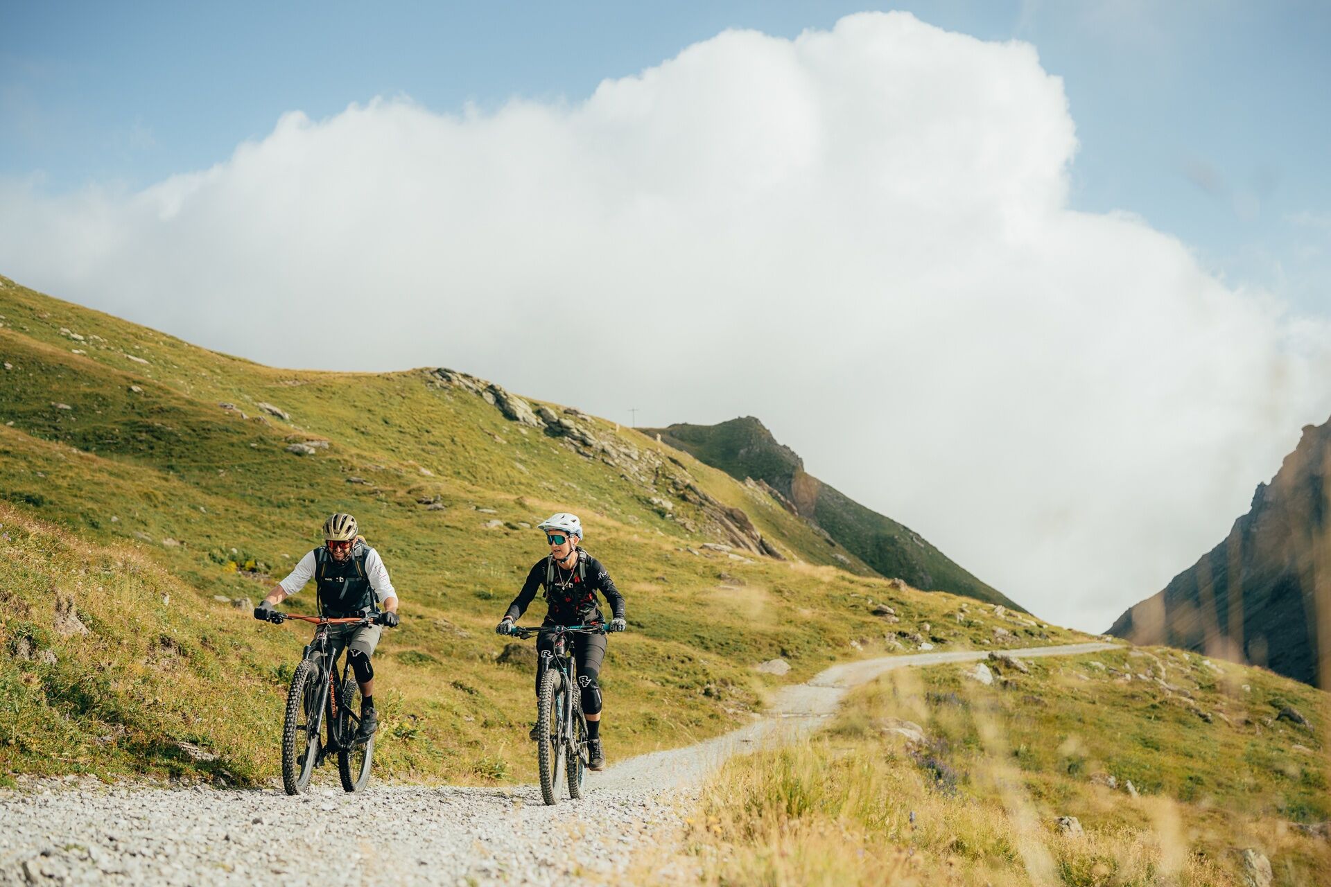
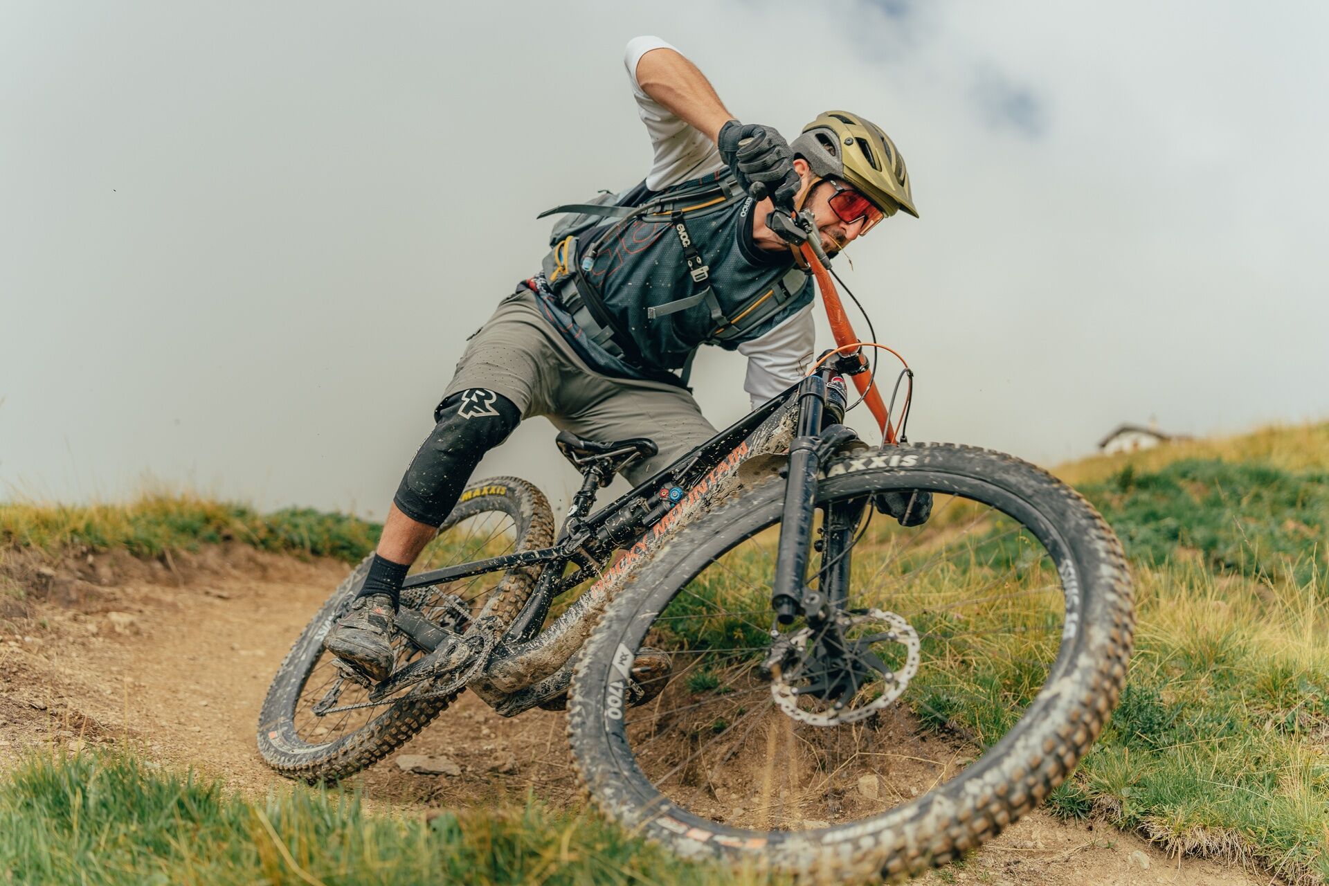
The downhill is pure joy for any biker who has no fear of demanding single trails. The way leads through the mountain huts of Munter to Salouf a great place to rest and enjoy the restaurant terrace. Then the last stretch leads back to Savognin. - Directions
-
Savognin - Salouf - Munter - Ziteil - Cre digl Lai - Tigignas - Savognin
- Highest point
- 2,420 m
- Endpoint
-
Savognin
- Height profile
-
 © outdooractive.com
 - Public transportation
-
Mit dem Postauto bis Savognin


- Author
-
The tour 650 Heaven's Door is used by outdooractive.com provided.


Surfaces
General info
-
Val Surses
208
-
Surses
22