- Brief description
-
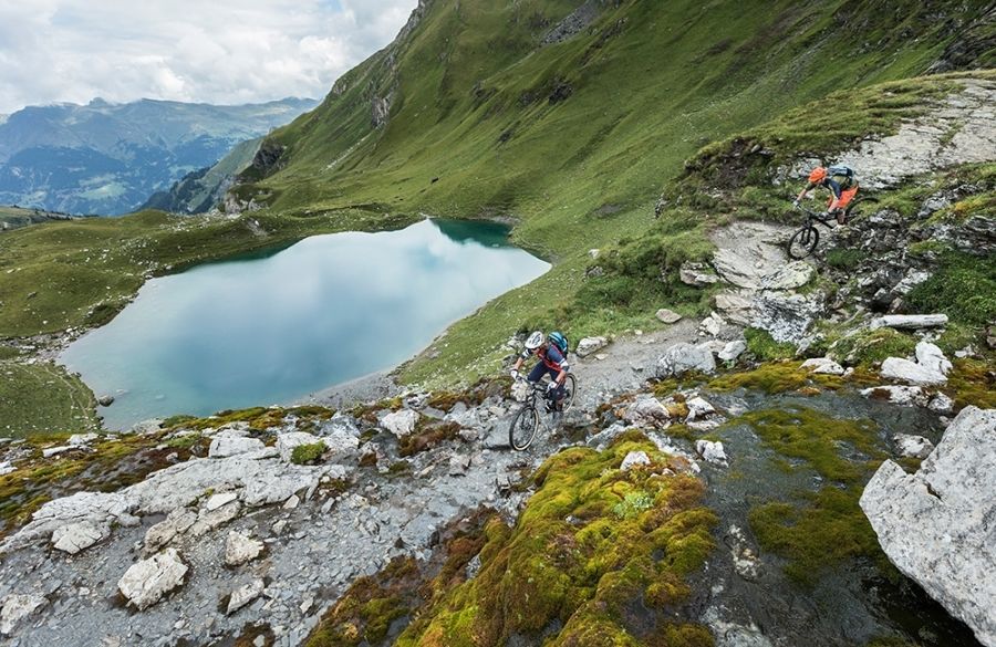
From the Parpaner Rothorn, there are a large number of departures to Chur. One of the legendary routes is that to Arosa and on that the one from Hörnli over the Urdental to Chur - a classic endurance tour in which the great fun to be had on this trail stands prominently in the foreground
- Difficulty
-
medium
- Rating
-
- Route
-
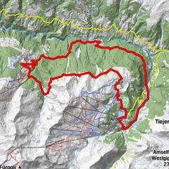
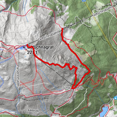
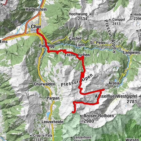
Restaurant am Parpaner RothornGredigs Fürggli (2,615 m)1.8 kmInnerarosa (1,820 m)8.5 kmHörnligrat (2,500 m)11.7 kmTschiertschen (1,343 m)22.4 kmCentral22.5 kmEdelweiss22.7 kmPraden25.5 kmAusserpraden26.5 kmGrida (942 m)29.6 kmPassugg30.4 kmMeiersboden31.2 kmAraschgen32.1 kmKapelle Alterssiedlung Bodmer33.0 kmChur (585 m)34.2 km
- Best season
-
JanFebMarAprMayJunJulAugSepOctNovDec
- Description
-
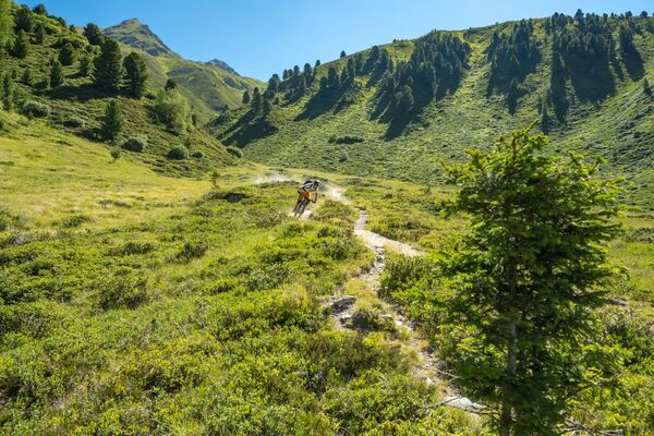
Ride with gondola up from Lenzerheide to the Parpaner Rothorn and navigate to the run through the large rock basin in the direction of Lawinengalerie. Here you are already on your way on the stretch termed, „Bike Attack“, which you will leave behind at Gredigs Fürggli and which leads to the right in the direction of Arosa. This trail through the Schafälpi-Tal is a first-class flow trail in the middle of a wonderfully undeveloped and pristine alpine valley. Finally you reach the Älplisee and later Innerarosa. Here lies the bottom station of Hörnlibahn, which you now use to get up to the summit station. It follows the single trail ride through Urdental, spending a bit of time on an alpine road, then shifting over again to small paths. From Tschiertschen, you reach Praden on the hiking trails above the road, then go through the Steinbachtobel to Passugg. The final segment to Chur leads over the single trail from Passugg to the valley floor from Chur. It is no longer very far to the city centre or to the train station, or likewise if you wish to take the postal bus to the post office back in Lenzerheide.
HOME OF TRAILS
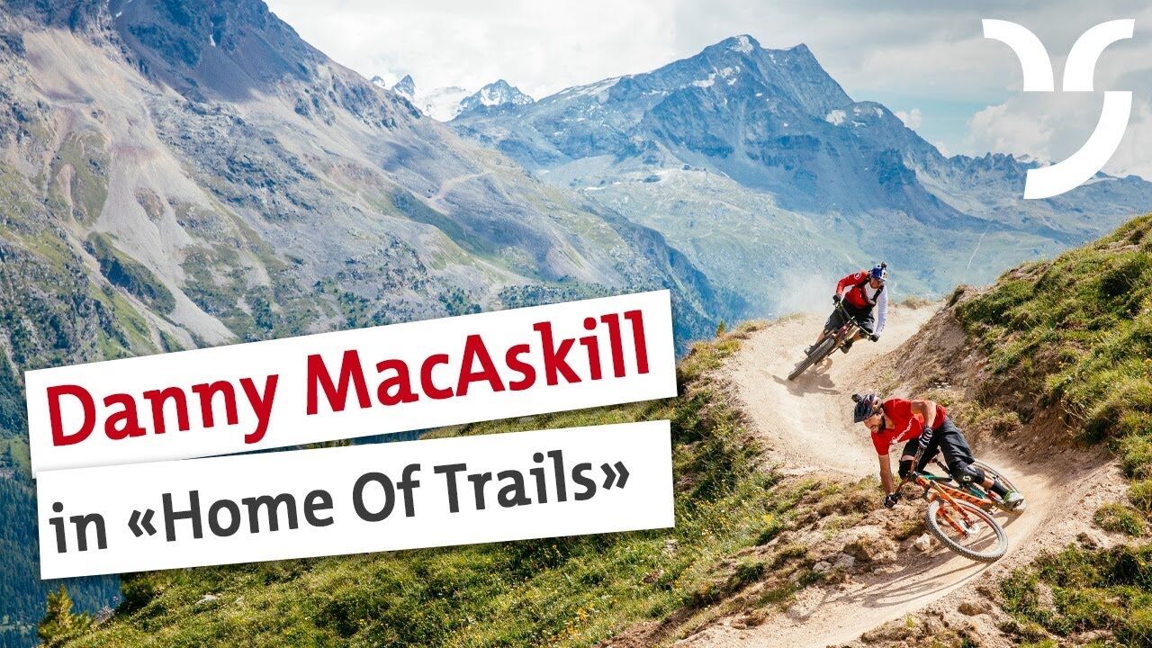
Incidentally: Danny MacAskill and Claudio Caluori enjoyed the trails on the Parpaner Rothorn in the "Home of Trails" video.
Discover the Parpaner Rothorn
- Highest point
- 2,845 m
- Endpoint
-
Chur
- Height profile
-
 © outdooractive.com
-

-
AuthorThe tour Rothorn-Chur is used by outdooractive.com provided.

-
Heidiland
336
-
Arosa Lenzerheide
259
-
Tschiertschen-Praden
98