- Brief description
-
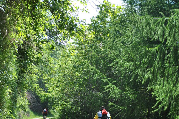
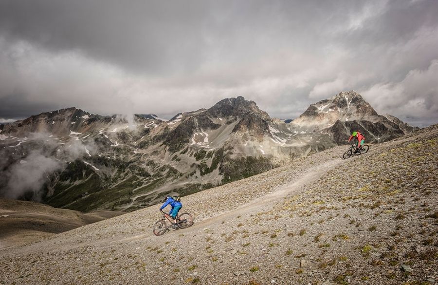
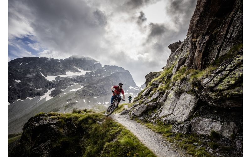
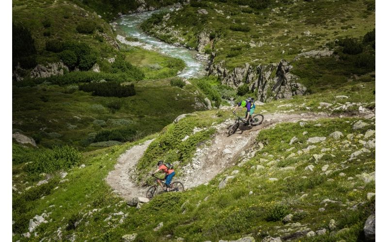
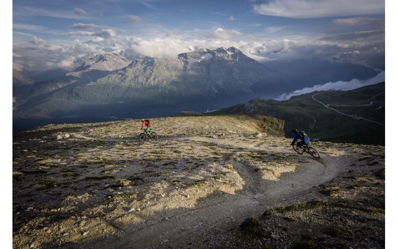
On the Engadin St. Moritz track tour, seven different single trail descents are conquered in one day, covering almost 6400 altitude meters. For each of the ascents, one of the numerous cable cars in the Corviglia and Piz Nair regions is used. This tour is the flow version among the various available track tours.
- Difficulty
-
medium
- Rating
-
- Route
-
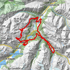
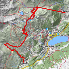
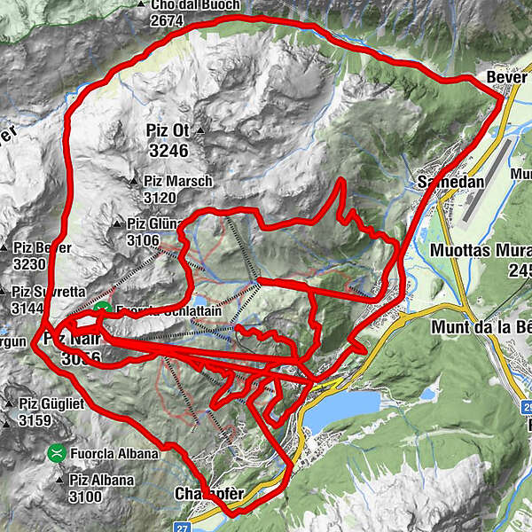
Corviglia0.0 kmCorviglia (Bergstation)0.0 kmSankt Moritz (1,822 m)2.8 kmChantarella2.9 kmSur Chaunt2.9 kmMunt da San Murezzan (2,659 m)5.5 kmPiz Nair6.6 kmLej da la Pêsch8.1 kmPrimula15.2 kmRestaurant Talvo by Dalsass15.3 kmChampfèr (1,825 m)15.5 kmSignal (St. Moritz) (2,139 m)19.4 kmSalastrains20.2 kmSpielplatz Salastrains20.3 kmSankt Moritz (1,822 m)23.3 kmSt. Moritz (Standseilbahn) (1,775 m)23.5 kmPiz Nair (3,056 m)23.6 kmSur Chaunt23.8 kmPiz Nair27.5 kmAlp Giop35.6 kmChantarella37.7 kmSankt Moritz (1,822 m)37.7 kmSur Chaunt37.7 kmMunt da San Murezzan (2,659 m)40.4 kmPiz Nair41.4 kmCristolais (1,846 m)53.8 kmCelerina (1,714 m)55.3 kmCelerina Seglias (1,730 m)55.5 kmMarguns57.8 kmSankt Moritz (1,822 m)61.2 kmChantarella61.2 kmPiz Nair (3,056 m)61.3 kmSur Chaunt61.4 kmMunt da San Murezzan (2,659 m)64.0 kmPiz Nair65.1 kmLej da la Pêsch66.8 kmBerggasthaus Spinas78.7 kmVal Bever79.9 kmBever (1,708 m)82.4 kmDa Primo82.4 kmSamaden (1,721 m)84.3 kmReformierte Kirche Samedan84.6 kmCelerina (1,714 m)87.3 kmEvangelisch-reformierte Kirche Crasta87.5 kmTree Corner88.7 kmShamrock88.8 kmTelephone Corner88.9 kmHorse-Shoe88.9 kmNash-Dixon Corner89.1 kmMonti's Bolt89.1 kmSunny Corner89.2 kmSt. Mauritius89.7 kmSankt Moritz (1,822 m)90.2 kmChiesa riformata di Sankt Moritz90.2 kmSt. Moritz (Standseilbahn) (1,775 m)90.4 kmSur Chaunt90.8 kmChantarella90.8 km
- Best season
-
JanFebMarAprMayJunJulAugSepOctNovDec
- Description
-
Many routes lead on alpine single trails, which require a good and safe biking technique and ability. Further information about the tour is available on…
1. Flow-Trail: Corviglia – Alp Nova – Chantarella
2. Val Suvretta: Piz Nair – Pass Suvretta – Alp Suvretta – Champfèr – St. Moritz Bad
3. Signal: Signal – Salastrains – Acla Laret – St. Moritz
4. WM-Trail: Piz Nair – Lej Suvretta – Munt da San Murezzan – Alp Giop – Chantarella
5. Schlattein: Piz Nair – Schlattein – Lej Alv – Trais Fluors – Alp Munt – Samedan – Celerina
6. Marguns: Marguns – Alp Laret – Chantarella
7. Val Bever: Piz Nair – Pass Suvretta – Alp Suvretta – Bever – Samedan – St. Moritz
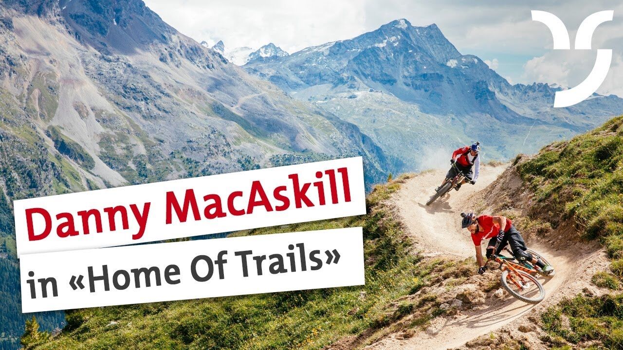
HOME OF TRAILS
Incidentally, Danny MacAskill and Claudio Caluori started their road trip through Graubünden on Piz Nair. See it in the "Home of Trails" video.
Discover Piz Nair
- Highest point
- 3,020 m
- Height profile
-
 © outdooractive.com
-

-
AuthorThe tour Engadin St. Moritz Railway Tour is used by outdooractive.com provided.


-
Veltlin / Valtellina
204
-
Engadin St. Moritz
171
-
Corviglia
82