
- Brief description
-
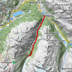
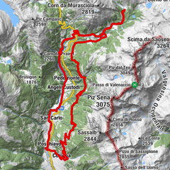
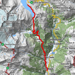
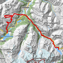
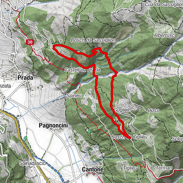
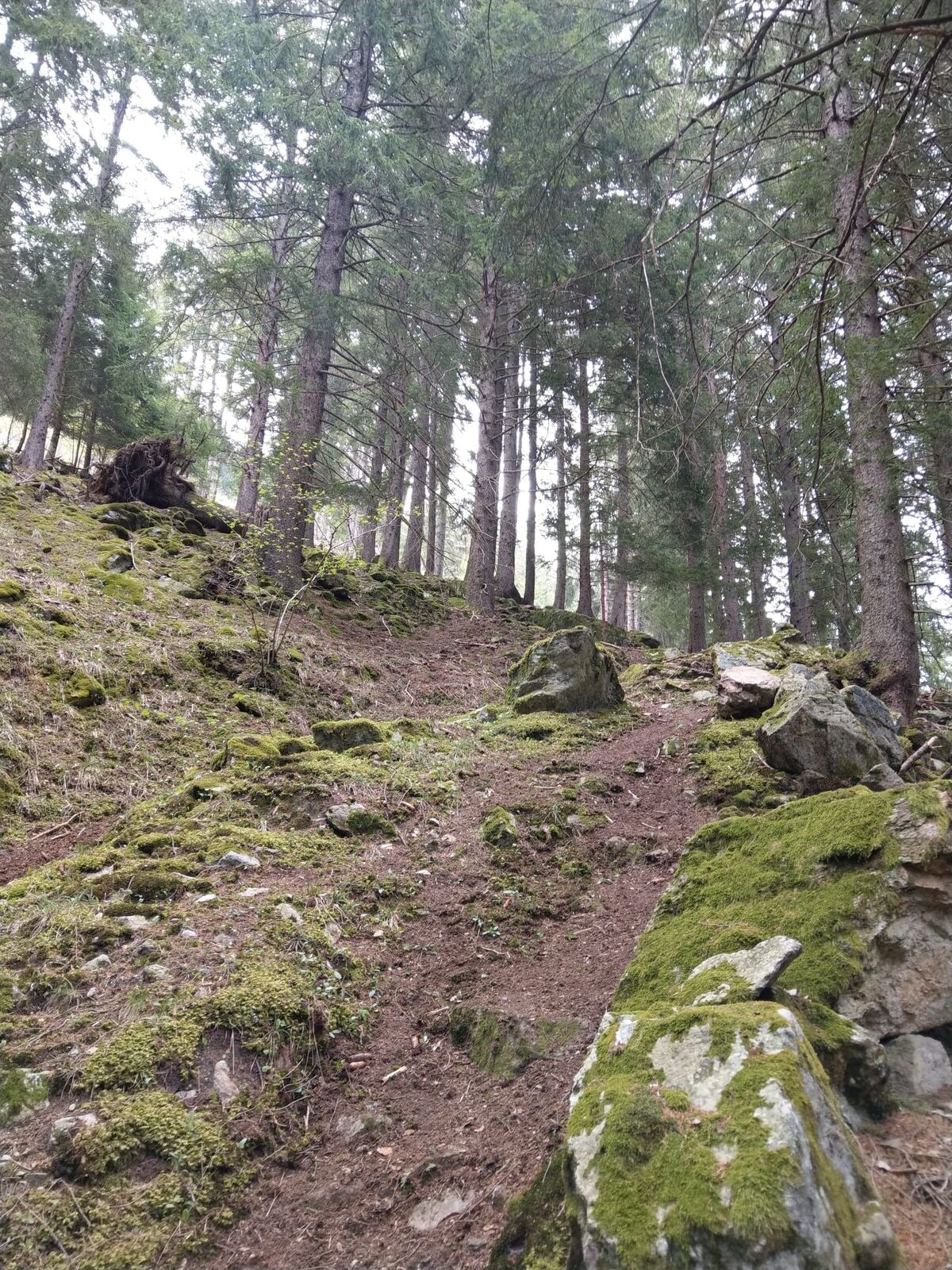
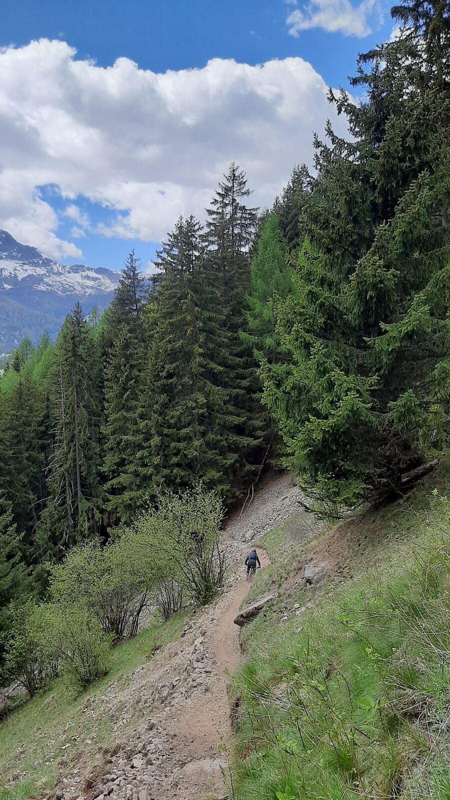
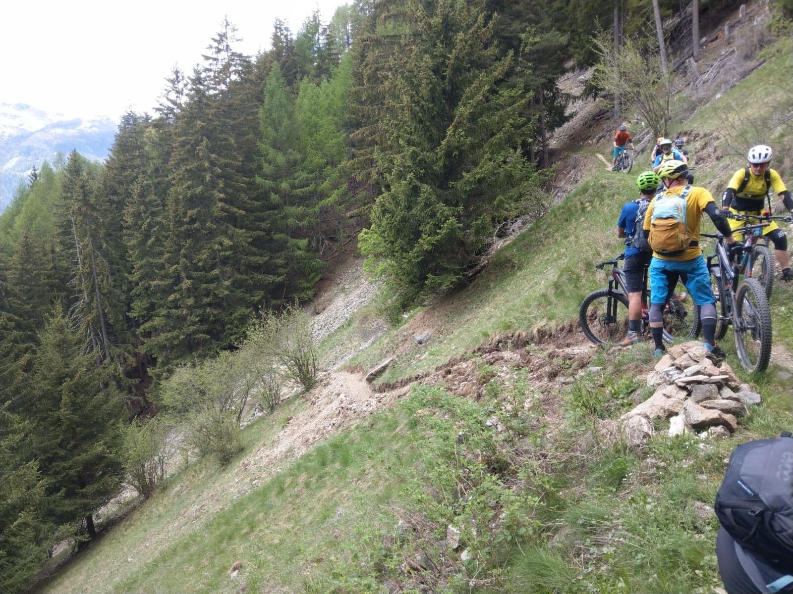
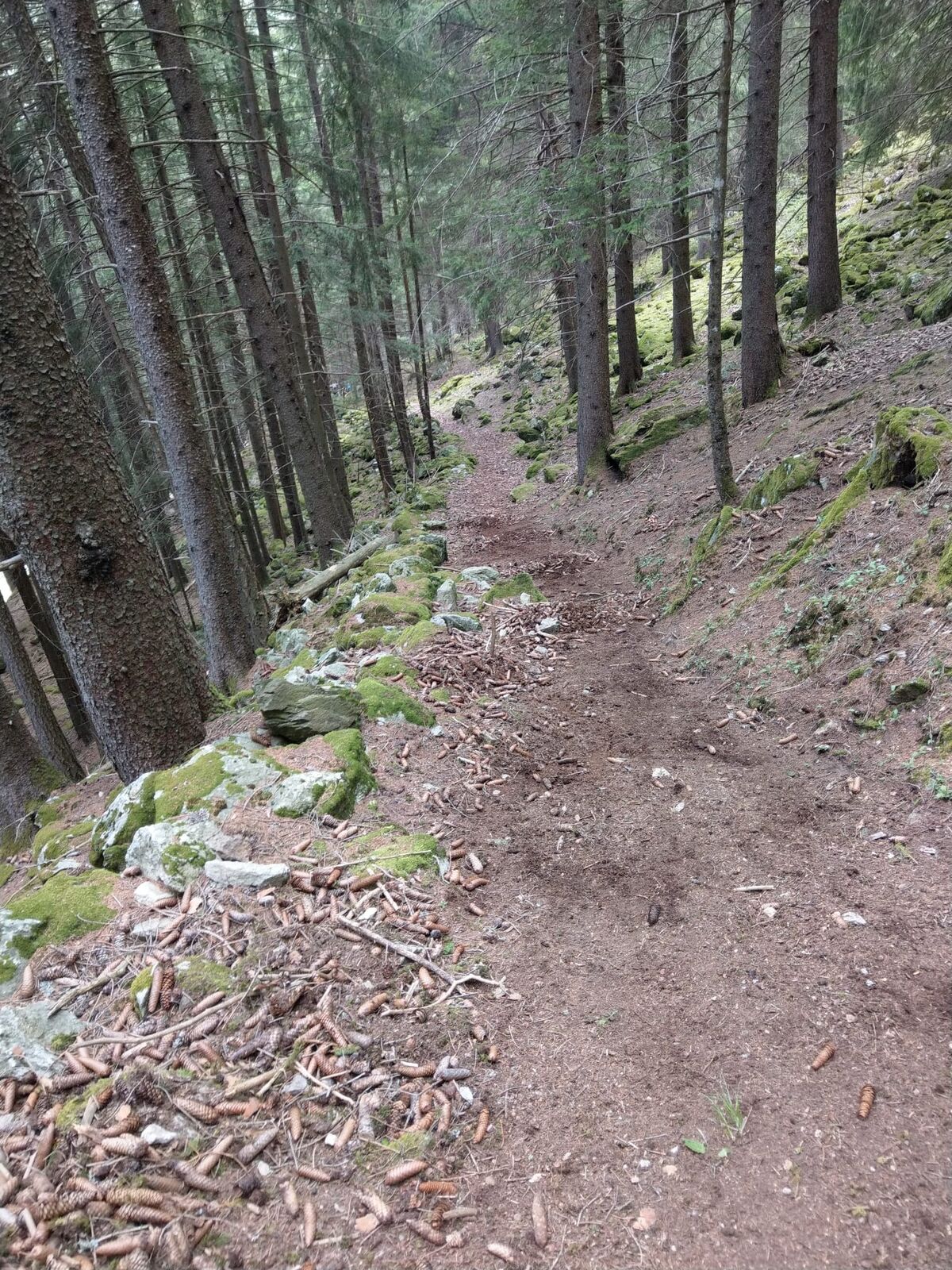
Leicht zugänglicher und wenig genutzter Rundweg. Strategisch gut positioniert, so dass die Strecke in jede größere Tour eingebunden werden kann.
- Difficulty
-
medium
- Rating
-
- Highest point
- 1,511 m
- Height profile
-
 © outdooractive.com

- Author
-
The tour Julia is used by outdooractive.com provided.
GPS Downloads


Other tours in the regions
-
Veltlin / Valtellina
204
-
Puschlav / Valposchiavo
197
-
Puschlav
44