
- Brief description
-
How to make bikers happy: Give them a bike, a helmet, and a destination far off the well-known trails. You will meet only a few cows at most on the tour to the Dutjer Alp in Surselva.
- Difficulty
-
medium
- Rating
-
- Route
-
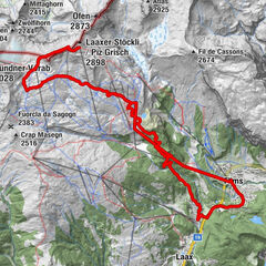
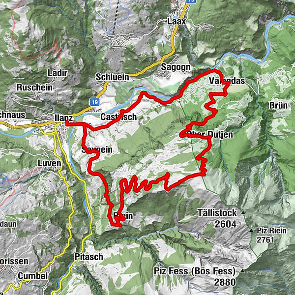
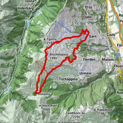
Ilanz (698 m)Seewis im Oberland (861 m)2.2 kmKirche Sevgein2.3 kmWallfahrtskapelle Sontga Fossa2.6 kmGalogn5.7 kmQuadra6.3 kmS. Nazarius6.6 kmRiein (1,270 m)6.6 kmDarpinaus8.3 kmDarmasal9.2 kmDutjer Alp14.4 kmOber Dutjen16.9 kmCuolm Sut18.0 kmCaral18.4 kmGiera19.0 kmGasthaus am Brunnen22.9 kmValendas22.9 kmValendas-Sagogn (669 m)23.8 kmCastrisch (655 m)28.1 kmKästris (722 m)28.2 kmReformierte Kirche28.3 kmIlanz (698 m)30.1 kmIlanz (702 m)30.5 km
- Best season
-
JanFebMarAprMayJunJulAugSepOctNovDec
- Description
-
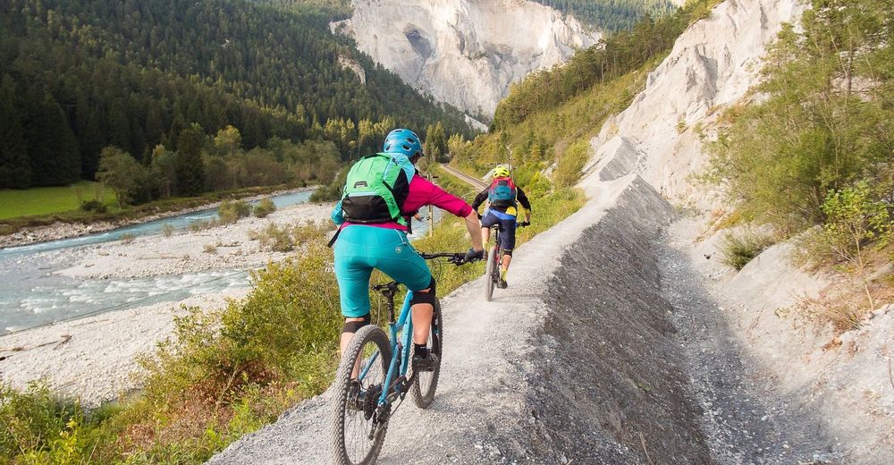
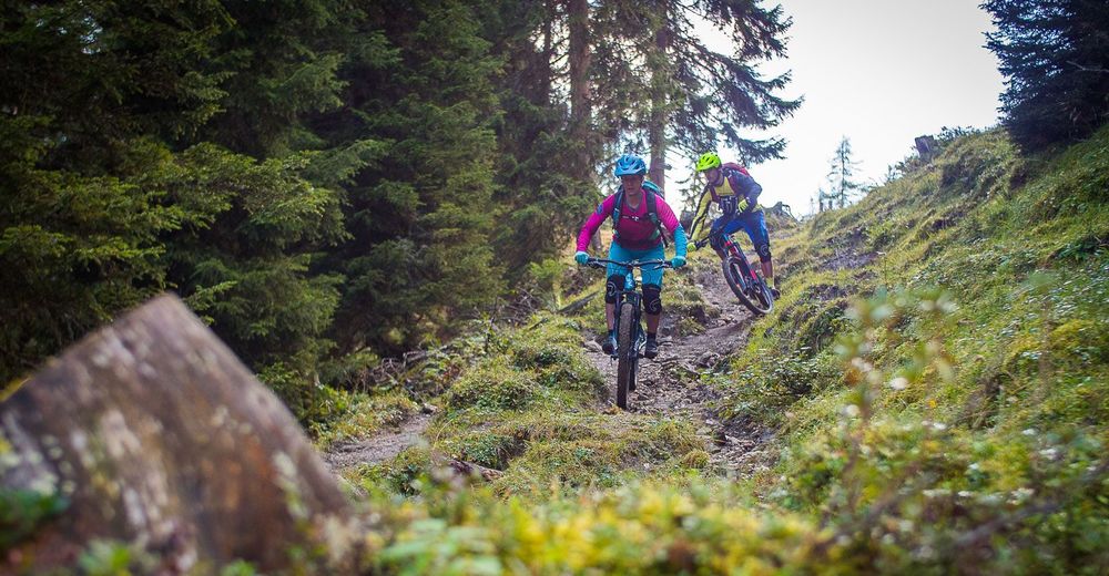
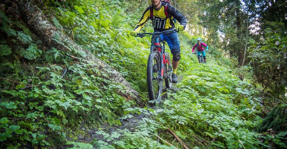
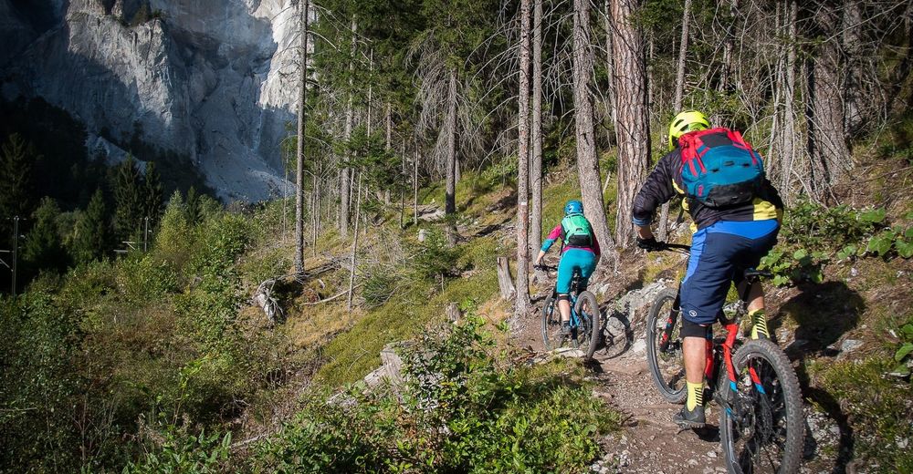
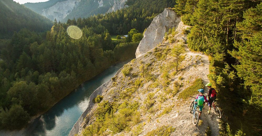
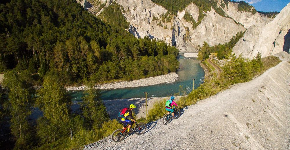
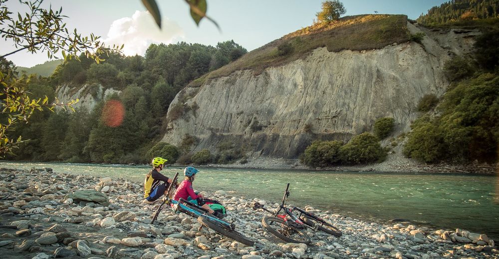
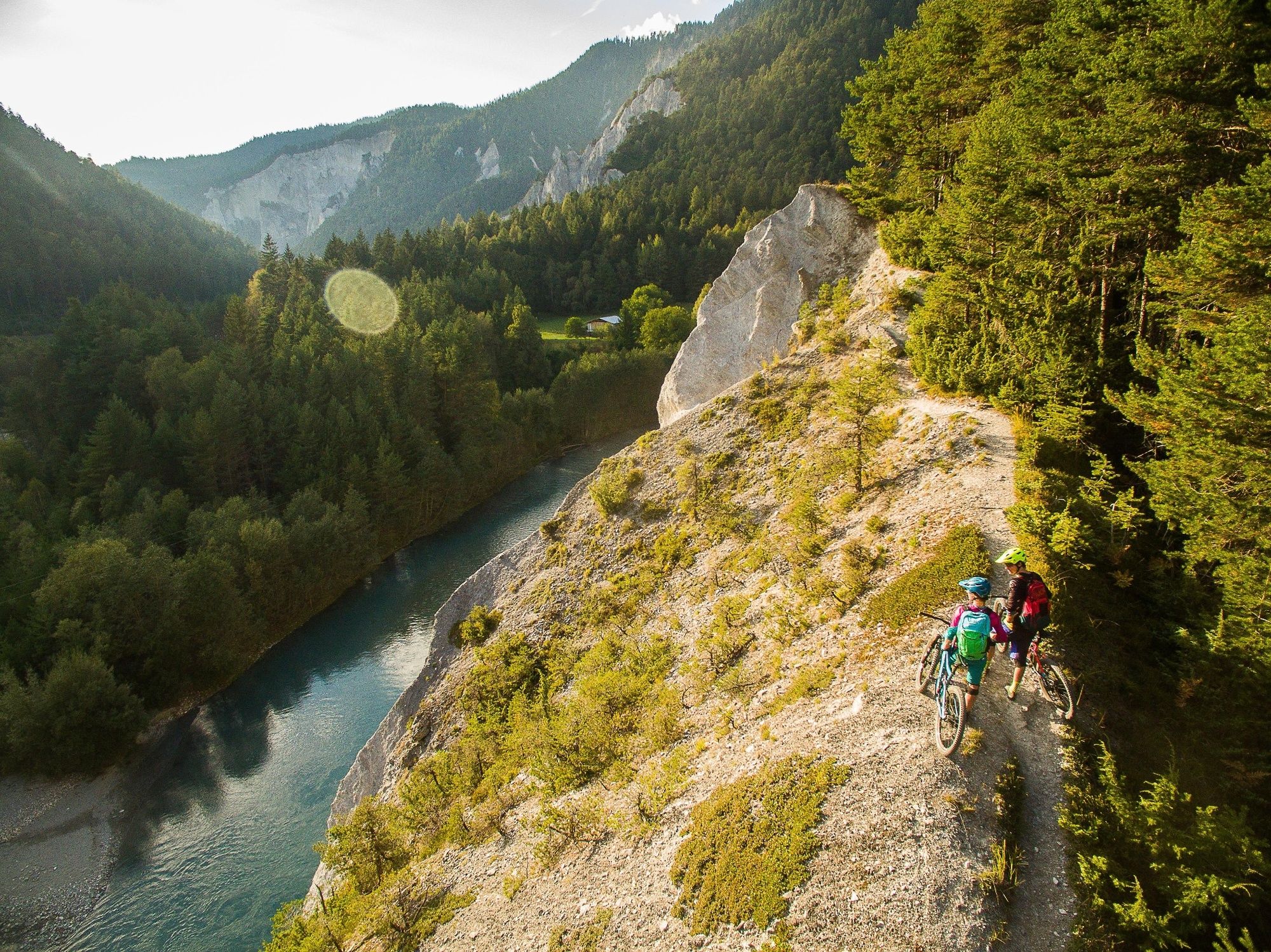
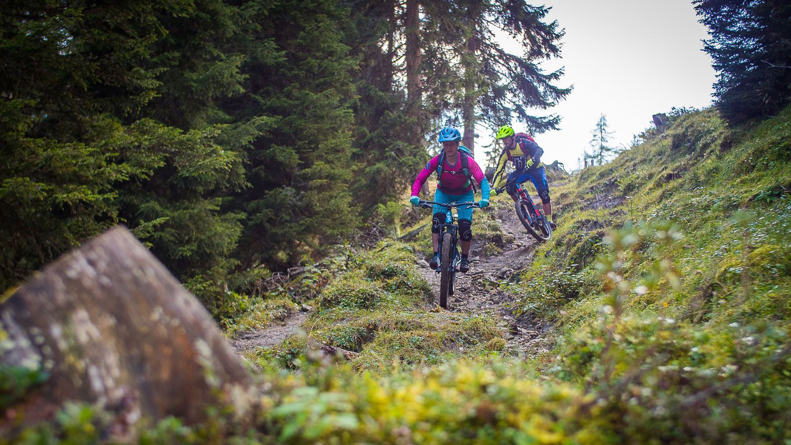
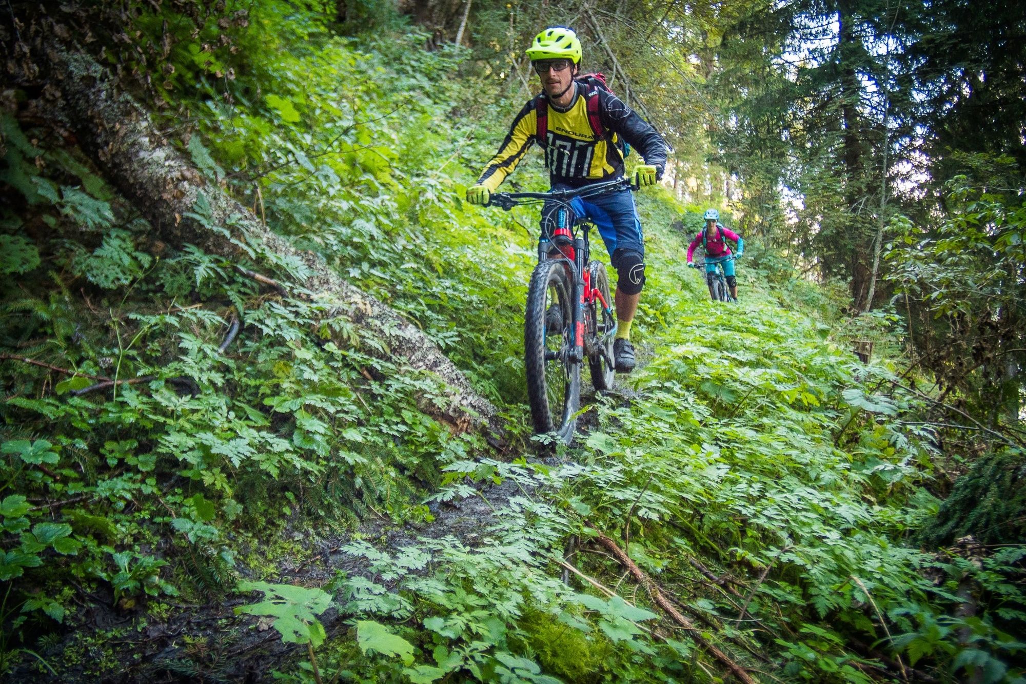
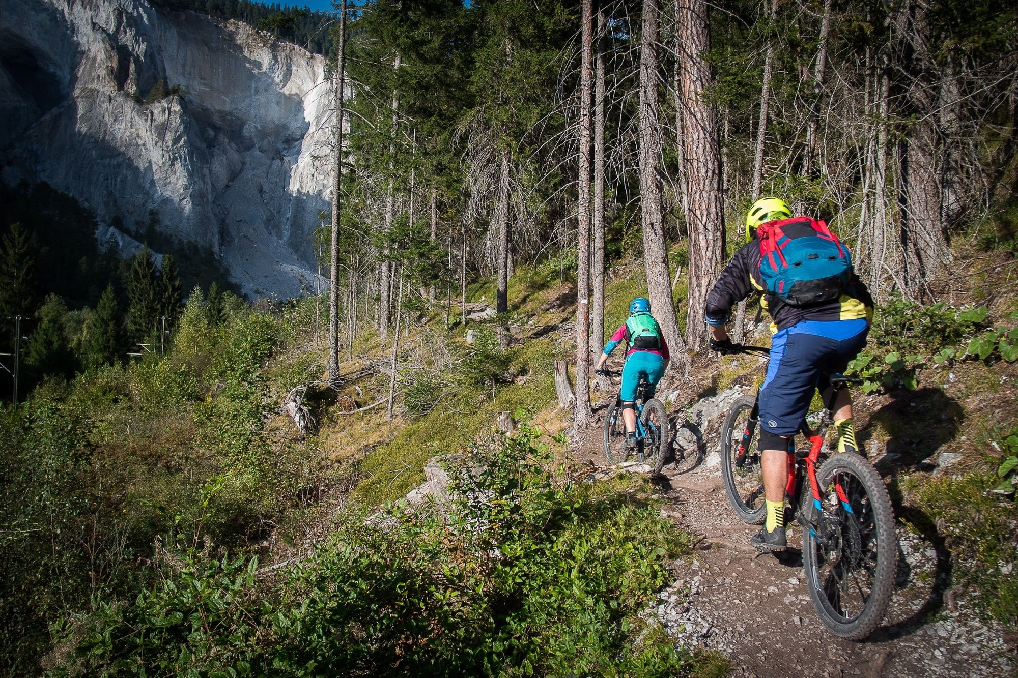
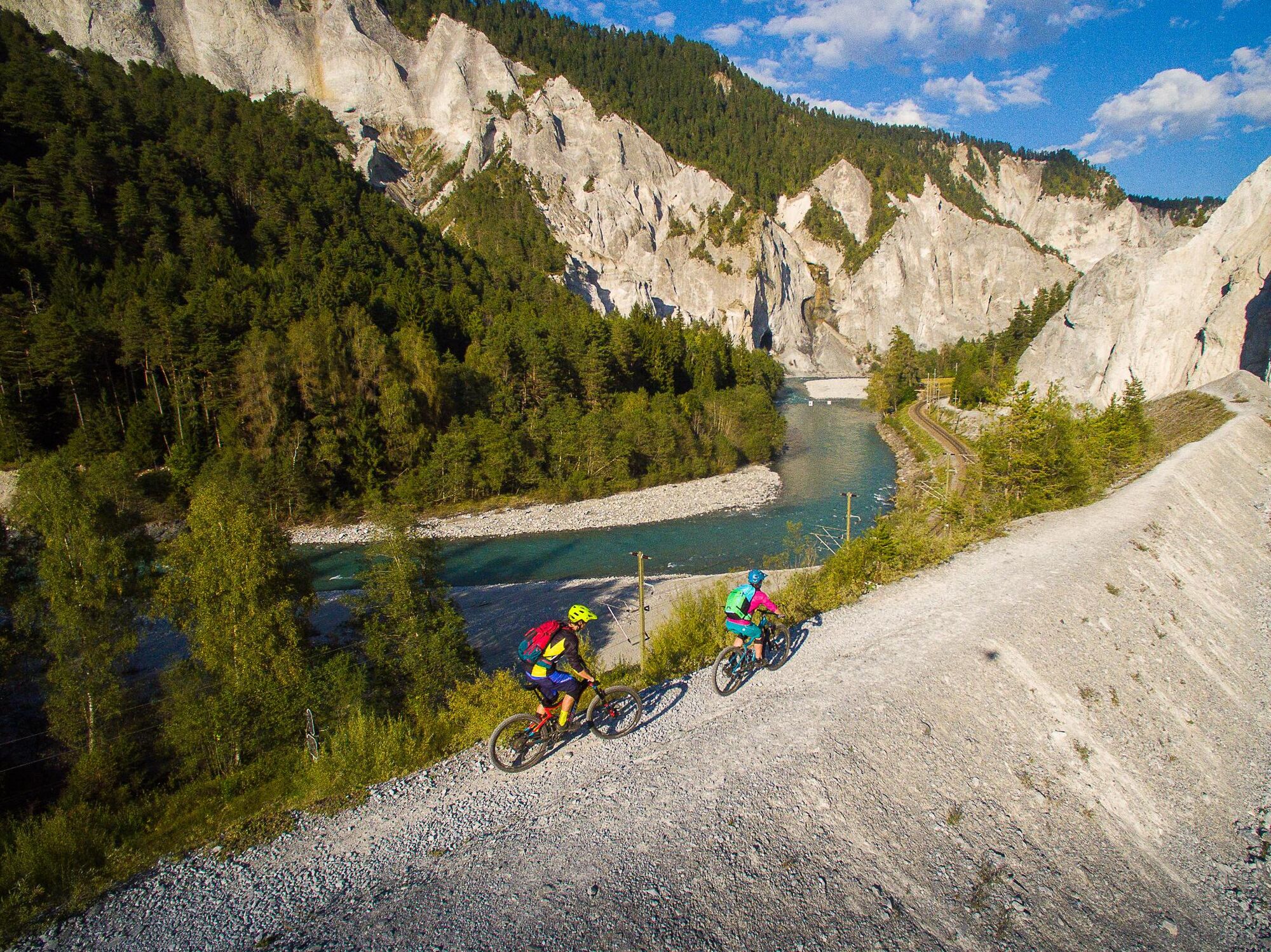
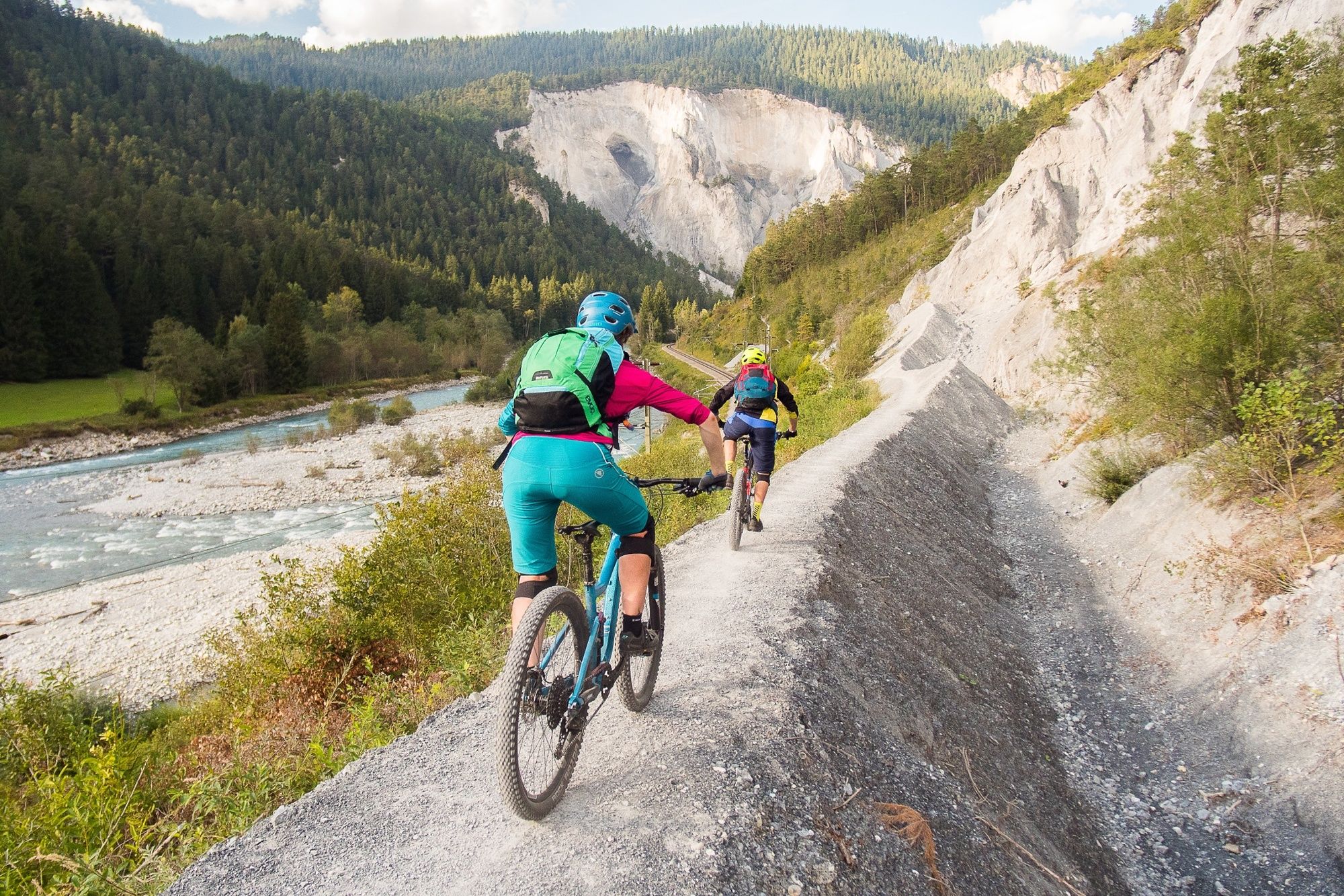
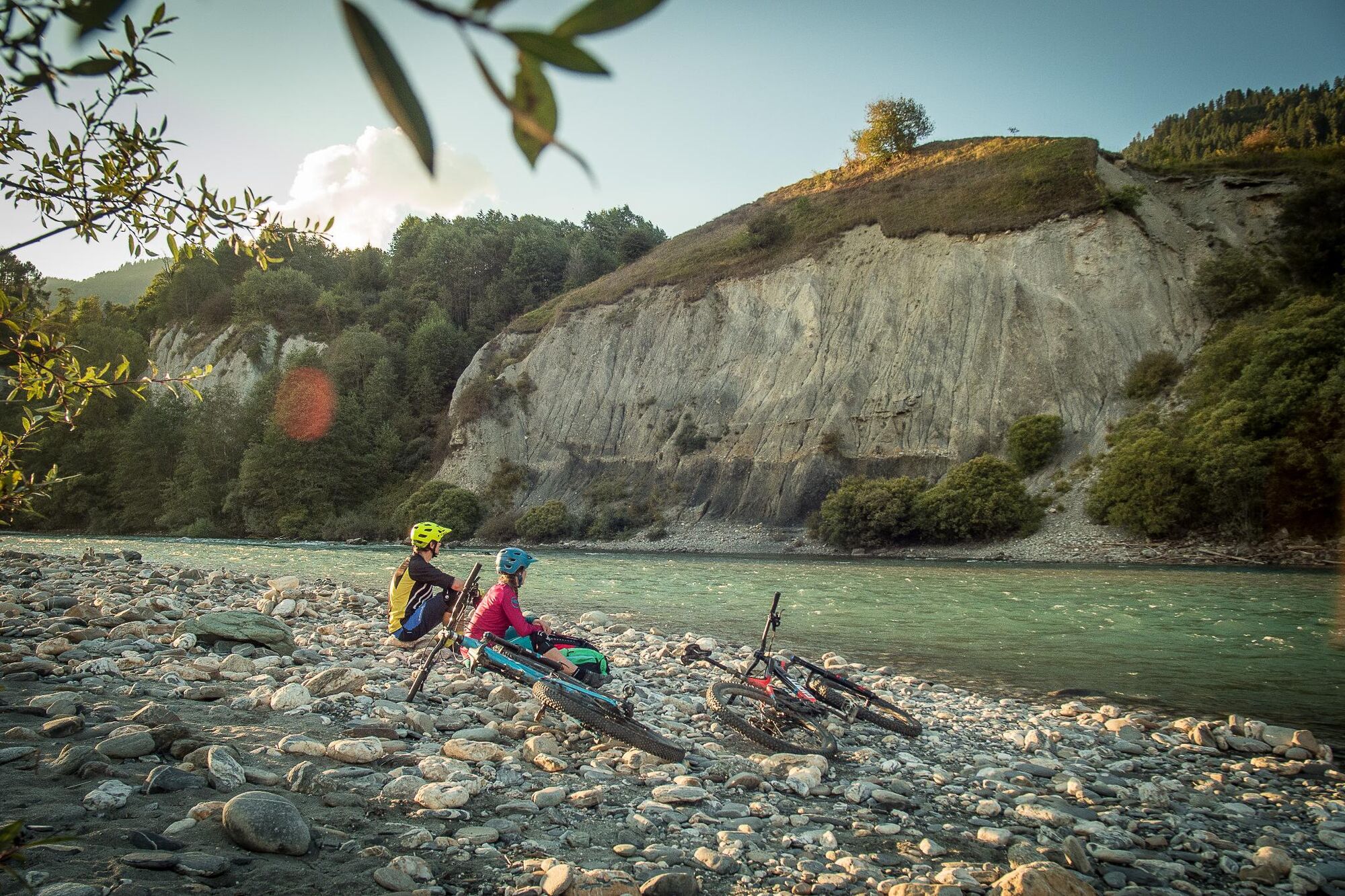
A small road leads from Illanz to Sevgein, where it subsequently rapidly gains altitude. After passing the town of Riein you reach the Alp da Riein. At this stage, nearly 1200 altitude metres have been driven on this road and the highest point is almost reached. The Dutjeralp, with its fantastic view, is reached on a meadow path that, depending on energy reserves, can be driven or pushed at times. The path goes via the Rhine Gorge into the Chur Rhine valley. On the horizon, the Prättigau Rätikon can be seen. On the left the view extends up Surselva till Tödi. The descent then takes place on the flowing and fun single trail down to Oberdutjen. Here you keep to the right, pass the Alp Giera and thereby reach the second part of the single trail descent. Finally, you roll down a small road to Valendas at the banks of the Rhine. Right at the train station the trail along the river Rhine begins which leads from here to Castrisch and then further to Ilanz.
- Highest point
- 2,031 m
- Endpoint
-
Ilanz
- Height profile
-
 © outdooractive.com

-

-
AuthorThe tour Dutjer Alp is used by outdooractive.com provided.


General info
-
Glarnerland
341
-
Ilanz / Glion
188
-
Castrisch
122


")