© Surselva Tourismus AG - Markus Isenmann


© Region Surselva Tourismus

© Region Surselva Tourismus

© Region Surselva Tourismus
- Brief description
-
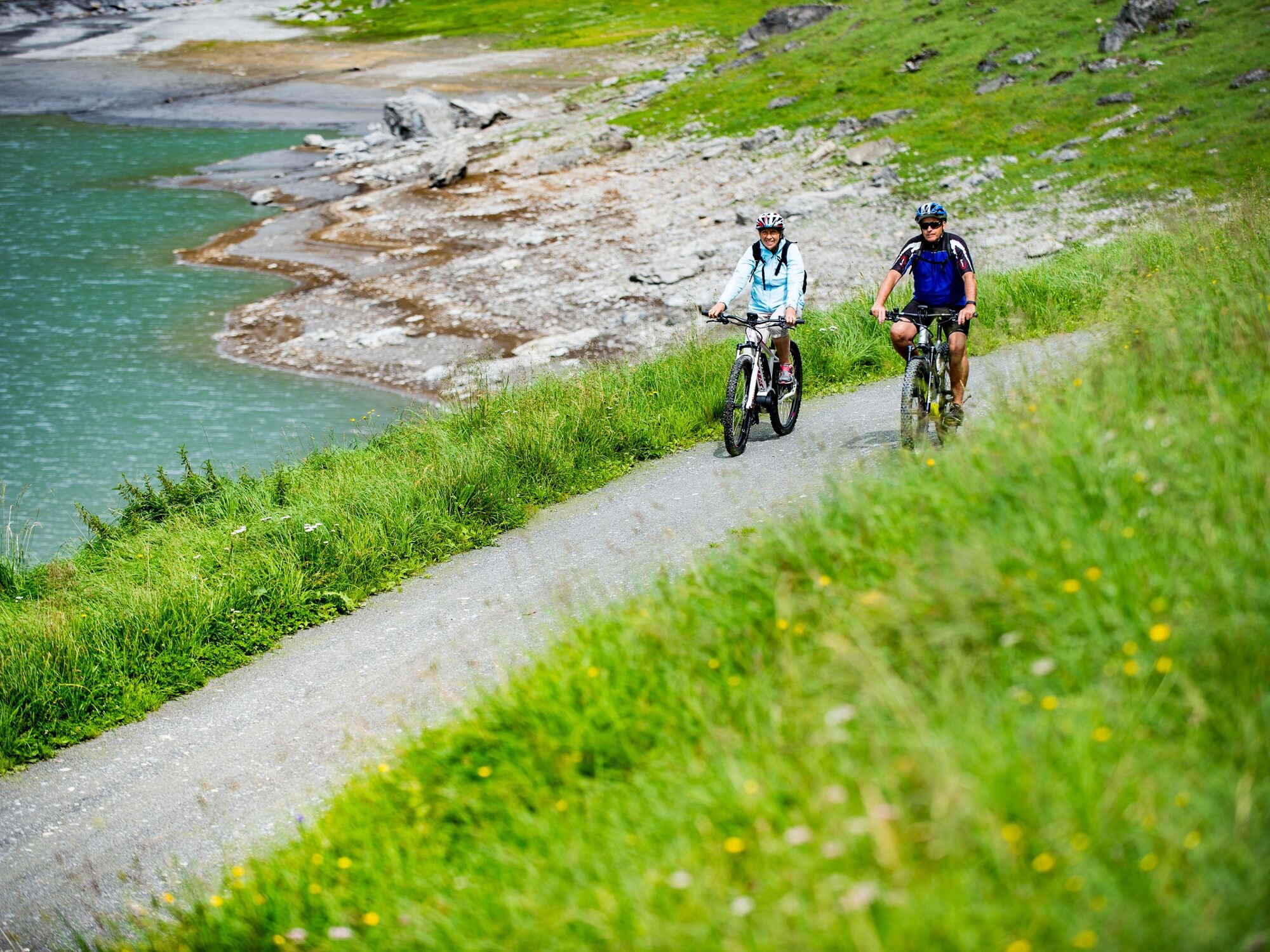
Grau und mächtig die Felskolosse oben, türkisfarben und lieblich der See unten. Die landschaftlich einzigartige Mountainbiketour bietet viel Fahrspass, Kultur und Natur.
- Difficulty
-
medium
- Rating
-
- Starting point
-
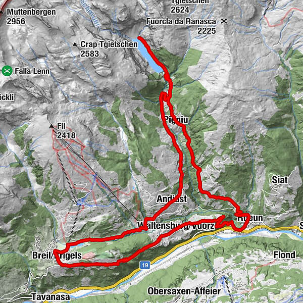
Brigels, parish church
- Route
-
Brigels (1,280 m)0.1 kmbaselgia S. Desiderius e S.Leodegar5.3 kmWaltensburg (1,003 m)5.3 kmRuis (788 m)9.4 kmSut Resgia14.7 kmSogn Valentin Pigniu14.8 kmAlpina14.9 kmPanix (1,301 m)15.0 kmCasa Vedra15.1 kmSur Vischnaunca15.1 kmCuolm Dadens22.0 kmPanix (1,301 m)23.5 kmClavau Griu24.0 kmSt. Julitta und St. Quiricus26.1 kmKapelle Sogn Antoni von Padua26.5 kmAndiast (1,178 m)26.5 kmSur Begls26.6 kmPostigliun26.7 kmCurtginet (1,102 m)28.0 kmUstria Curtginet28.0 kmDarums28.1 kmMigliè29.4 kmS. Maria31.8 kmBrigels (1,280 m)31.9 km
- Best season
-
JanFebMarAprMayJunJulAugSepOctNovDec
- Description
-
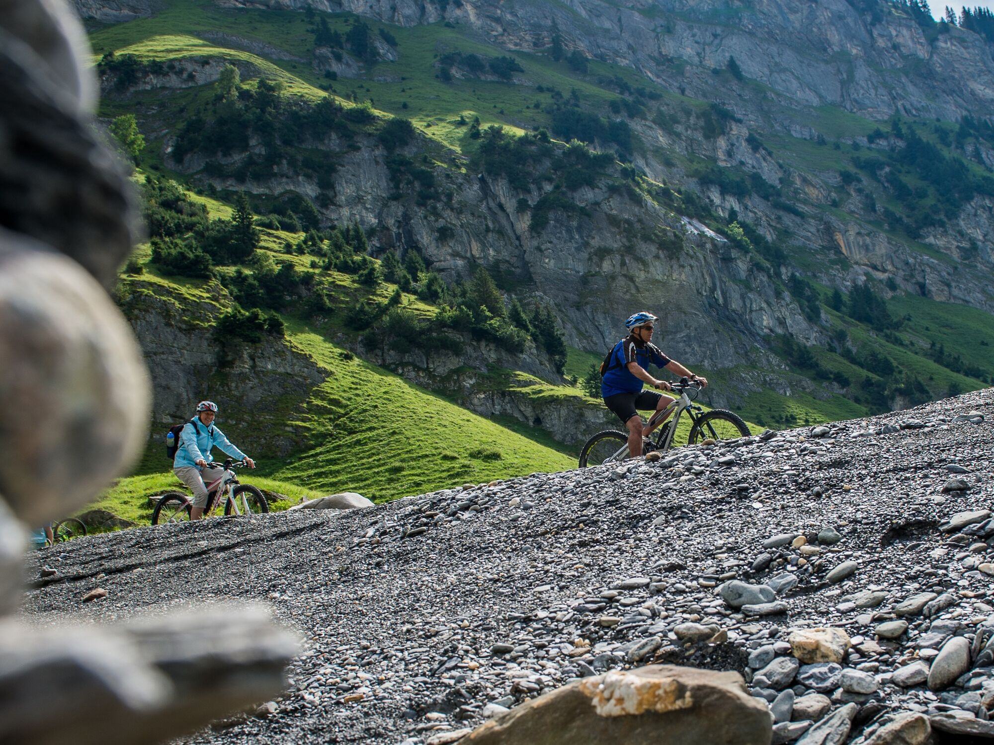
Starting point of this challenging tour is the parish church in Brigels. On your way out of the village, after the hotel Kistenpass, you take the way on the left side to Crest La Crusch/Brigels and to Waltensburg. Despite your remarkable speed take a look at the beauties of this village! The ride gets a little bit tougher after the first switchback on the sloping forest track from Waltensburg to S.Clau.
Here you go about the ascent. Passing by the village Rueun you drive towards Pigniu. The view over the lake is idyllic, the tour around the lake a clear enjoyment!
But, pay attention, this does not apply to anybody on the following section.
For the plunging Singletrail on the right valley side (Attention: at the same time hiking trail!) one needs good bike skills!
Further on the track leads on the Senda Sursilvana. Thereto you follow the waterway of the stream «Schmuerbach», then you mount about 200m after the fireplace on the natural path and reach at an altitude of about 1300 metres above sea level the Cuolms d'Andiast. Now it is not far anymore to Andiast. From there you follow the communication road towards Waltensburg until you reach Curtginet, the valley station of the chairlift. First you turn right into the asphaltic mountain road, ascend up to the switchback and pass by Migliè on the meadow path. Alongside the right lakeshore you find your way back to the village Brigels.
Attention: Depending on your bike skills you have to face a march of about 400m shortly after the masonry dam down into the Val da Pigniu.
See also
Surselva Tourismus AG
Info Brigels
Casa Sentupada / Postfach 193
Via Principala 34
CH-7165 Breil/Brigels
Tel.: 0041 81 941 13 31
E-Mail: brigels@surselva.info
Internet: www.surselva.info - Directions
-
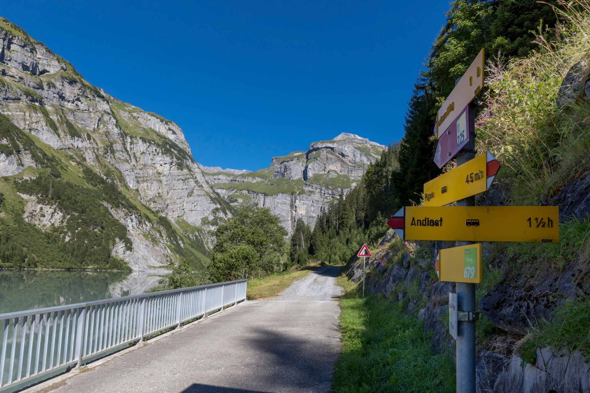
Brigels - Waltensburg - Rueun - Pigniu - Lag da Pigniu - Cuolms d'Andiast - Andiast - Migliè - Brigels
- Highest point
- 1,454 m
- Endpoint
-
Brigels
- Height profile
-
 © outdooractive.com


-

-
AuthorThe tour Brigels official trail no. 225, Suworow is used by outdooractive.com provided.
GPS Downloads


General info
Refreshment stop
Other tours in the regions
-
Glarnerland
341
-
Obersaxen Mundaun
182
-
Andiast
89