© Engadin Tourismus AG - Chatrigna Signorell

- Brief description
-
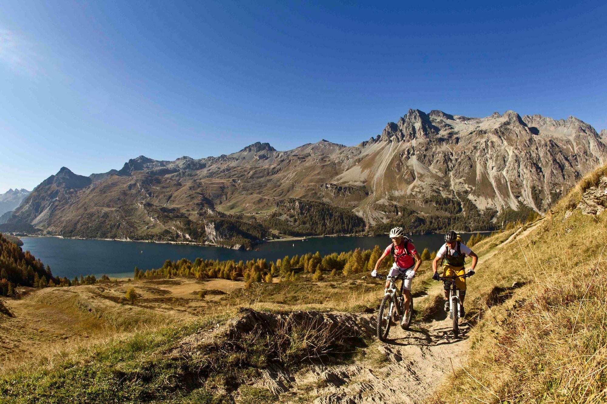
An autumn highlight for mountain bikers
- Difficulty
-
medium
- Rating
-
- Starting point
-
Maloja, Post Office
- Route
-
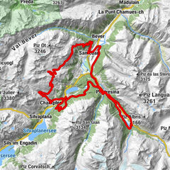
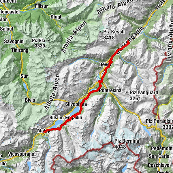
Maloja (1,809 m)Maloja Posta0.1 kmSchweizerhaus0.1 kmKirche St. Peter und Paul0.1 kmLa Motta0.5 kmCresta0.7 kmPlan Cuncheta1.5 kmPetpreir5.0 kmPlatta7.0 kmChesa Pool7.1 kmBraschunaing8.1 kmSils im Engadin (1,803 m)8.3 kmAlp Prasüra9.1 kmSurlej16.2 kmFranzösische Kirche20.4 kmSankt Moritz (1,822 m)21.4 kmPiste 2131.0 kmLa Punt Chamues-ch (1,687 m)35.9 kmBurdun37.1 kmLa Punt37.2 kmMadulain (1,697 m)38.6 kmZuoz (1,692 m)41.4 km
- Best season
-
JanFebMarAprMayJunJulAugSepOctNovDec
- Description
-
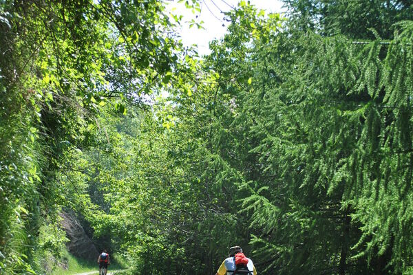
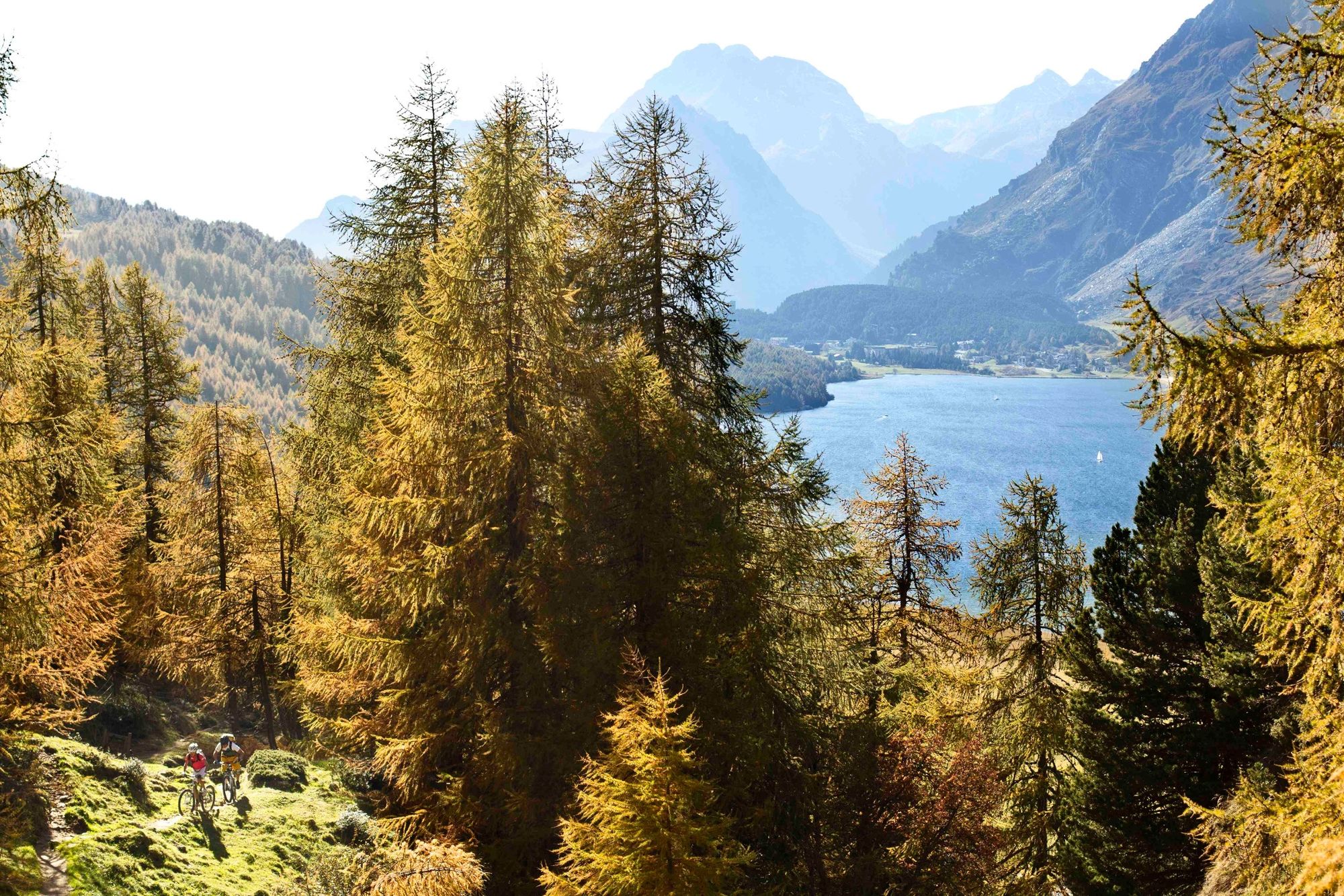
Along this tour, nature is one big play of colours: After the short summer season the time of the golden Engadin autumn has come, which transforms the wooded slopes of the Engadine high valley into brightly coloured carpets.
We start in Maloja on the right side of the lake on a wide gravel road towards Isola, up to Alp Petpreir. From the alpine leafy forest to the characteristic larches and the fragrant pine forests - here, on this first section, they all stand in line.
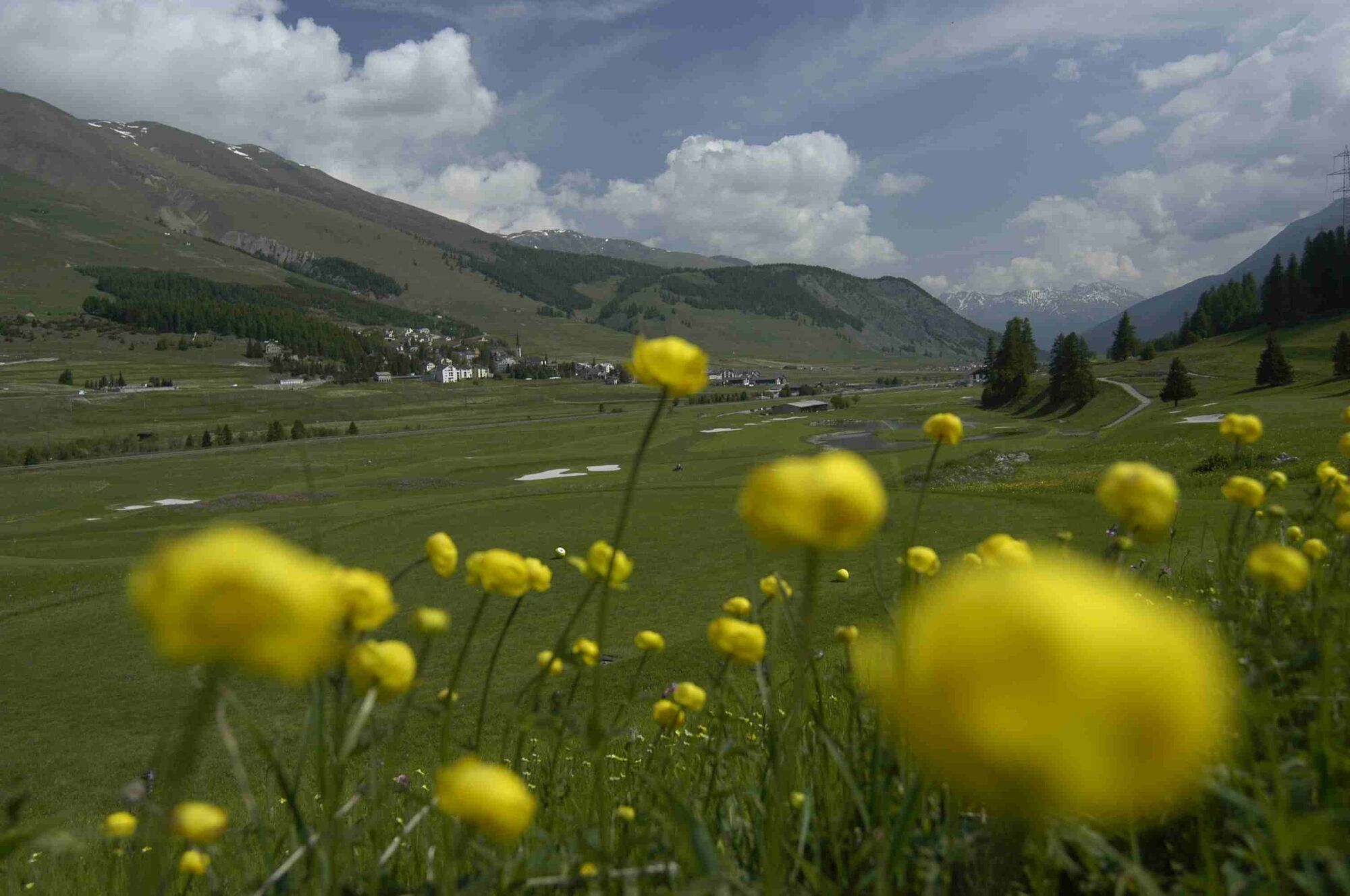
The route continues via St. Moritz Bad, through the Staz forest, past the Samedan airfield and the golf course to its destination, the magnificent Engadine village of Zuoz.
More information
Engadin St. Moritz Tourismus AG
Via Maistra 1
CH-7500 St. Moritz
Phone: +41 81 830 00 01
E-mail: allegra@engadin.ch
Internet: www.engadin.ch - Directions
-
Maloja - Alp Ca d'Starnam - Fex - Alp Prasüra - Alp Surlej - Surlej - St. Moritz - Stazerwald - Celerina - Samedan - La Punt - Zuoz
- Highest point
- 2,079 m
- Endpoint
-
Zuoz railway station
- Height profile
-
 © outdooractive.com
 - Tips
-
This tour leads along the route of the Engadin Skimarathon.
Very frequented in the high season.

- Author
-
The tour Maloja - Zuoz is used by outdooractive.com provided.
GPS Downloads


General info
Refreshment stop
A lot of view
Other tours in the regions
-
Veltlin / Valtellina
204
-
Engadin St. Moritz
171
-
St. Moritz
81