
- Brief description
-
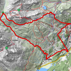
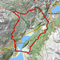
Uphill route from Castasegna to Casaccia - excellent as a return route for those who take the Maloja express route on the way down.
- Difficulty
-
difficult
- Rating
-
- Starting point
-
Castasegna
- Route
-
Vecchia DoganaCastasengen (690 m)0.4 kmBrentan0.5 kmVazza1.4 kmClüs1.4 kmStoll (863 m)1.5 kmCascate del Caroggia1.9 kmSils im Bergell (1,097 m)2.8 kmSpino (793 m)3.5 kmPunt Spizarun - Cantiere3.8 kmBondo (823 m)3.8 kmSottoponte4.0 kmPromontogno (832 m)4.2 kmLa Porta4.5 kmTurisc4.9 kmCamplan5.4 kmCiävra5.5 kmCaccior (929 m)5.9 kmDulezi6.4 kmValär7.4 kmColtura7.4 kmLa Stala7.4 kmStampa (995 m)8.0 kmAl Calcett8.2 kmBorgonovo10.3 kmSur Albigna11.4 kmReformierte Kirche S. Trinità11.6 kmVicosoprano (1,067 m)11.7 kmCadalpena11.9 kmPungell12.9 kmRoticcio (1,267 m)14.3 kmBarga d'Ora15.4 kmRöivan15.7 kmFopa15.8 kmBarga16.2 kmLizun17.6 kmChiesa riformata di San Giovanni19.0 kmCasaccia (1,458 m)19.1 km
- Best season
-
JanFebMarAprMayJunJulAugSepOctNovDec
- Description
-
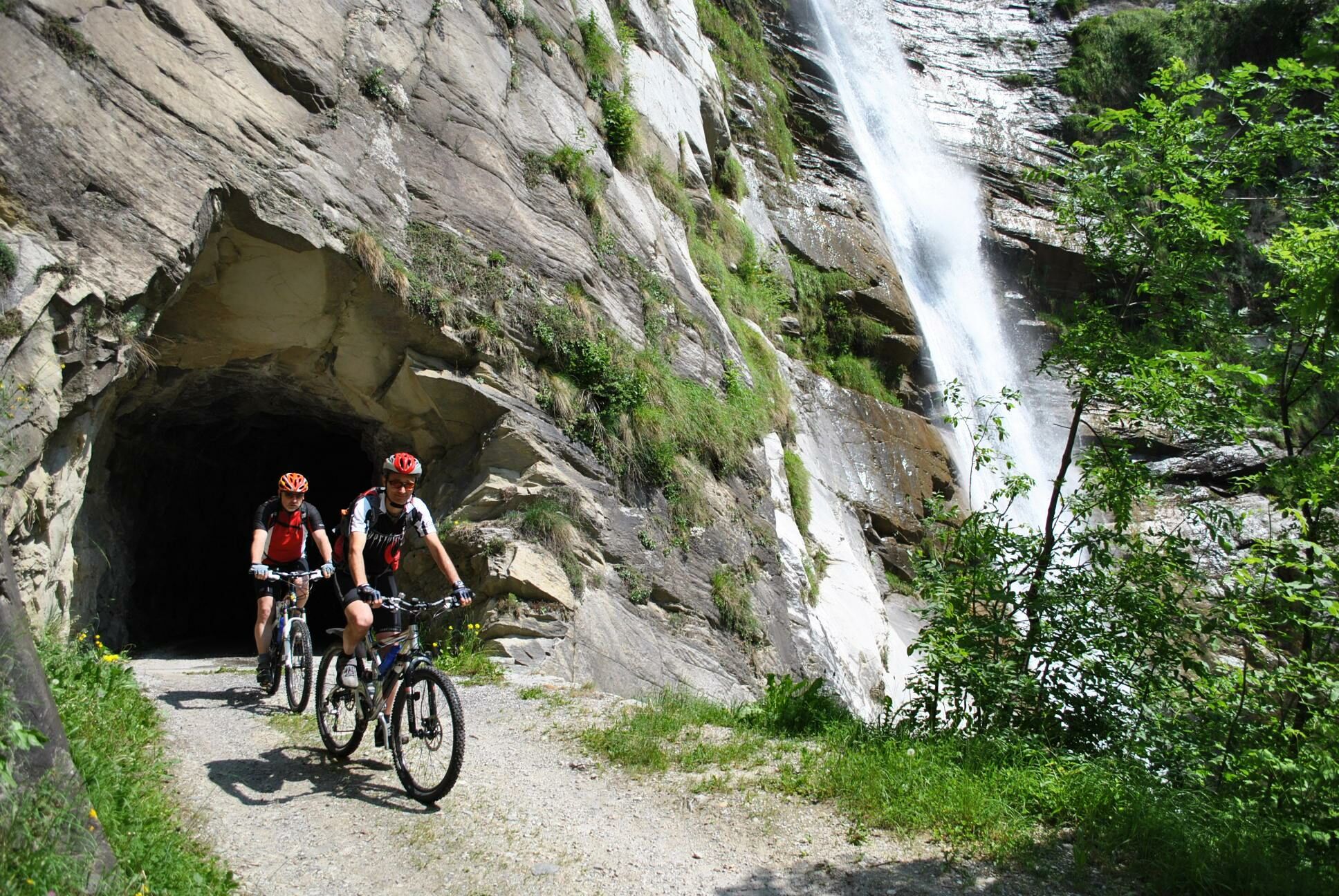
Uphill route almost entirely on little-used dirt and asphalt roads. The road is mostly in the shade - also ideal for hot summer days.
From Brentan the route climbs towards Soglio through the majestic chestnut forest, passing under a waterfall to Plazza, and then descending on the cantonal road to Promontogno. Next stage continues slightly uphill on a dirt road to Caccior and then on an asphalt road to Coltura. Once you have passed through the village of Coltura, we recommend that you descend to Stampa, cross the main road, pass in front of the Ciäsa Granda museum and at the Val d' Arca hotel continue on the dirt road that climbs to the left. After crossing the beautiful pine forest, you join the Via Bregaglia that leads to Vicosoprano and from here continue on the cantonal road towards Roticcio. The last part of this route takes place on the Via Panoramica that leads to Casaccia.
- Directions
-
Castasegna - Plazza - Promontogno - Caccior -Stampa - Vicosoprano - Roticcio - Casaccia
- Highest point
- 1,478 m
- Endpoint
-
Casaccia
- Height profile
-
 © outdooractive.com
 - Equipment
-
Helmet, MTB
- Safety instructions
-
Watch out for cars and pedestrians
- Tips
-
Circular route in combination with Maloja express
- Directions
- Public transportation


- Author
-
The tour Castasegna - Casaccia is used by outdooractive.com provided.


-
Comer See
72
-
Val Bregaglia Engadin
83
-
Borgonovo
12