
- Brief description
-
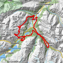
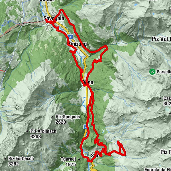
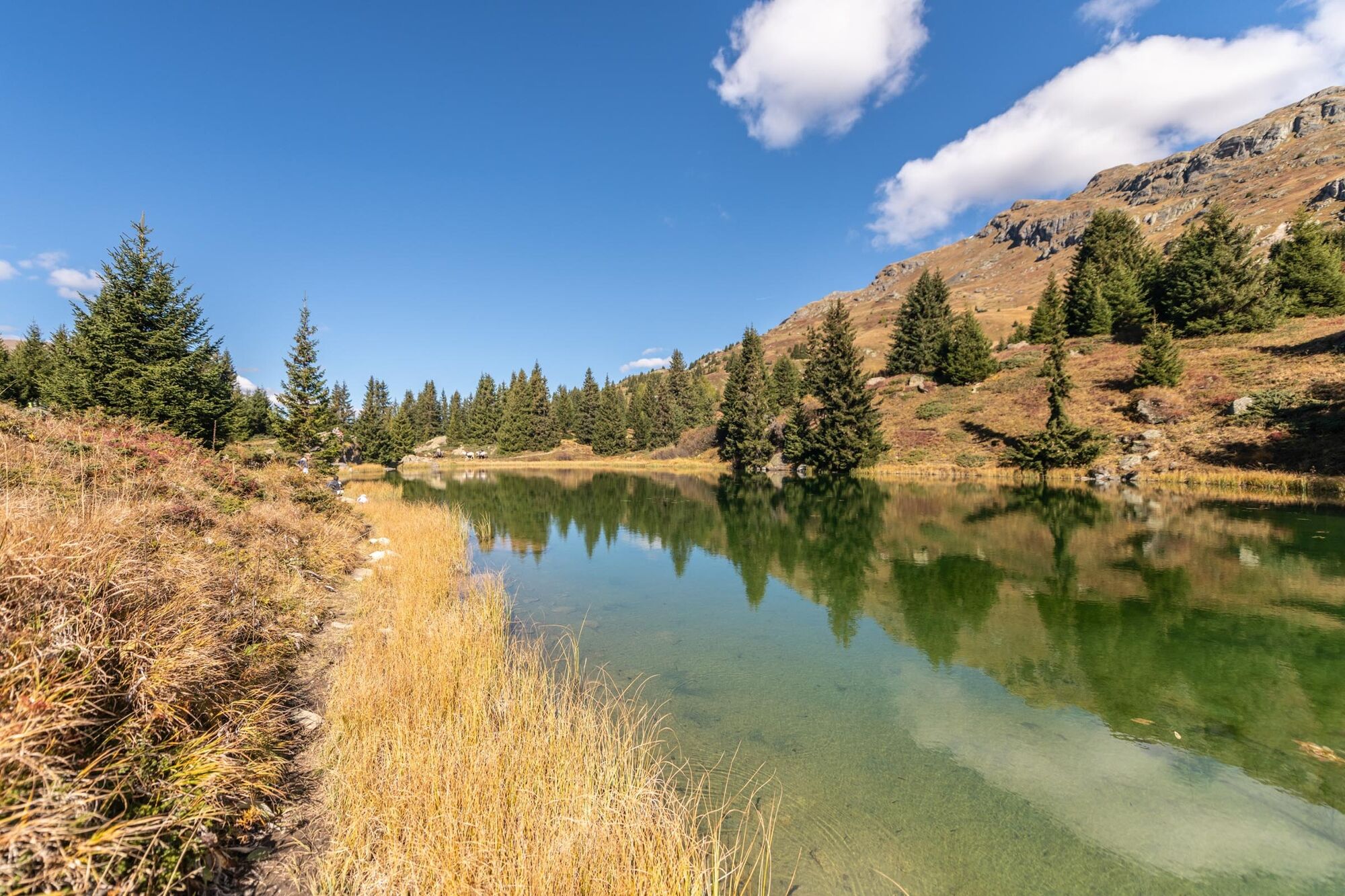
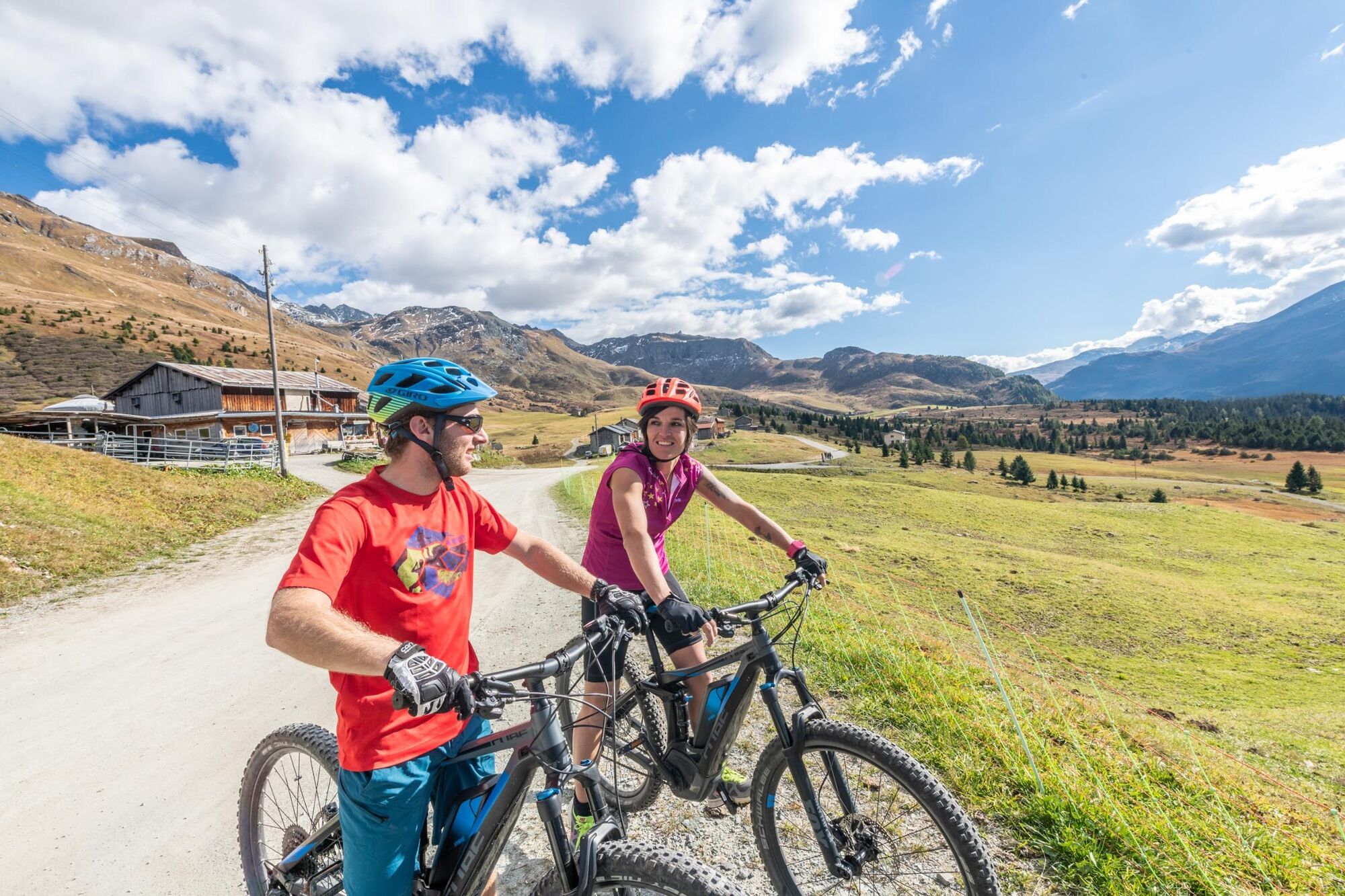
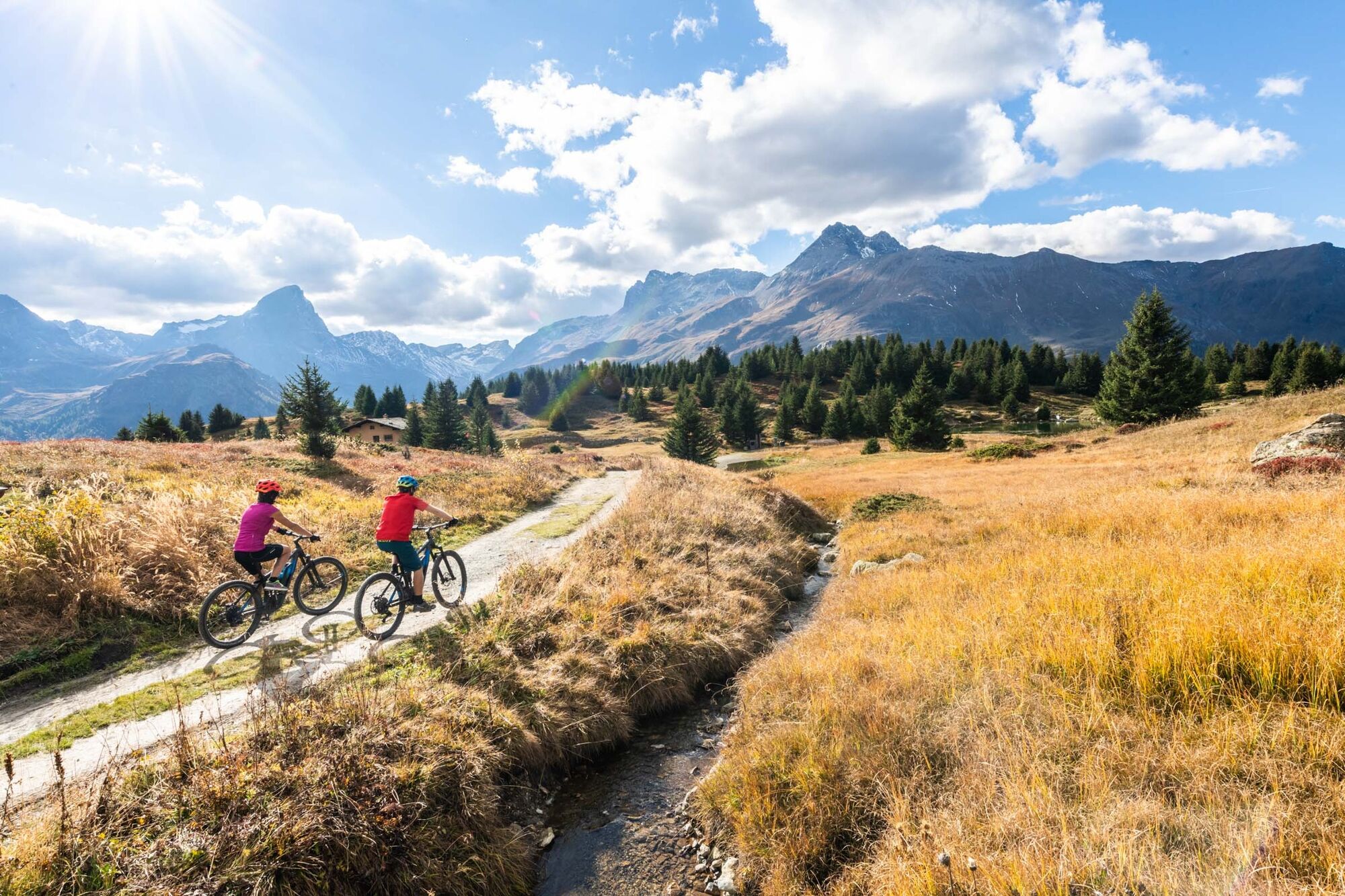
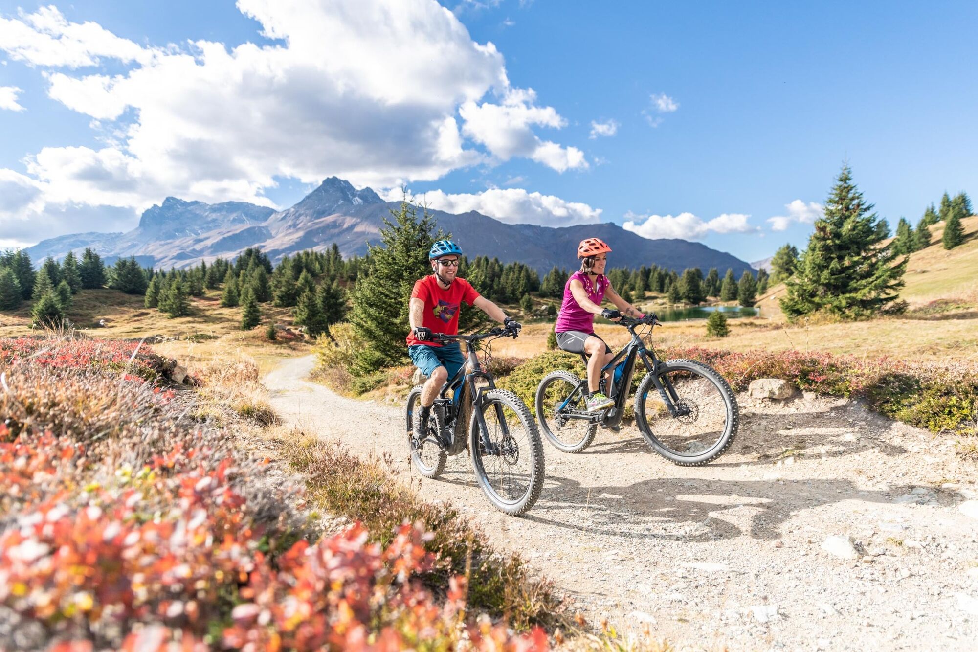
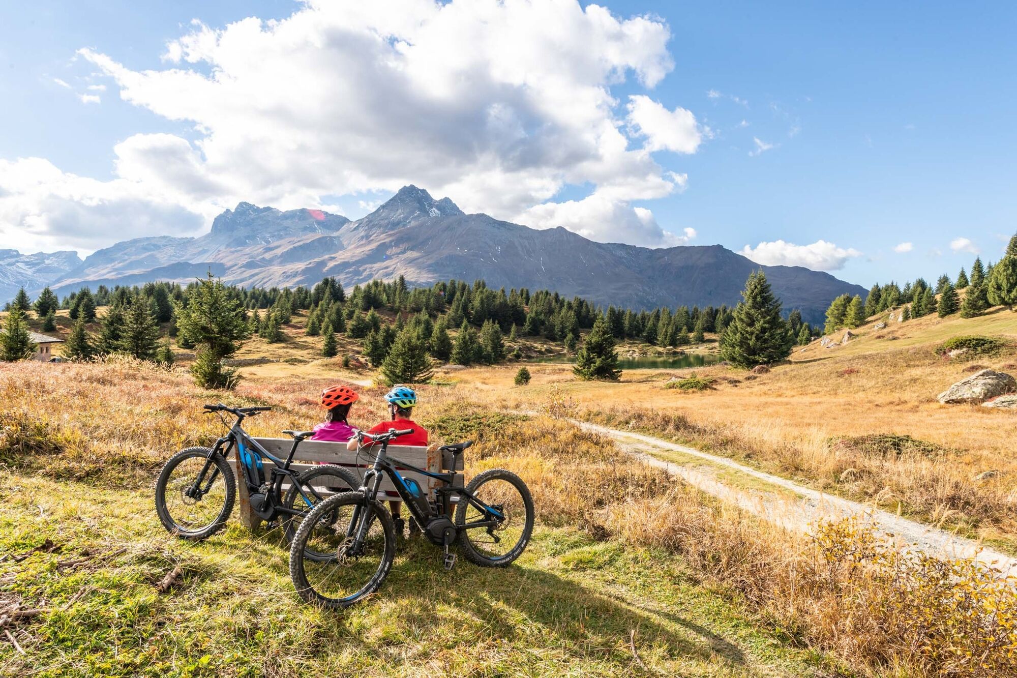
The main object of this tour is the high plateau Alp Flix above the village Sur. Originally, a Roman way, the tour passes through this high moor, which is of national significance. The fantastic descent adds a further highlight to the tour.
- Difficulty
-
medium
- Rating
-
- Route
-
Restaurant Florian's0.1 kmPizzeria Allegra0.2 kmSavognin (1,207 m)0.6 kmTinzen (1,232 m)2.9 kmCampingplatz Rona6.7 kmRoffna (1,408 m)6.8 kmSant Franziskus Kirche11.3 kmMühlen (1,481 m)11.4 kmSur (1,530 m)12.8 kmBellavista16.0 kmTgas d'Alber16.6 kmTgalucas17.0 kmTga d'Meir17.8 kmTigias18.0 kmHotel Piz Platta18.0 kmRoffna (1,408 m)25.7 kmCampingplatz Rona25.9 kmPlaz Beischen28.2 kmTinzen (1,232 m)31.3 kmSon Mitgel34.7 kmSavognin (1,207 m)34.8 kmPizzeria Allegra35.4 kmRestaurant Florian's35.5 km
- Best season
-
JanFebMarAprMayJunJulAugSepOctNovDec
- Description
-
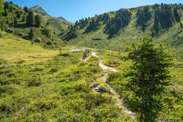
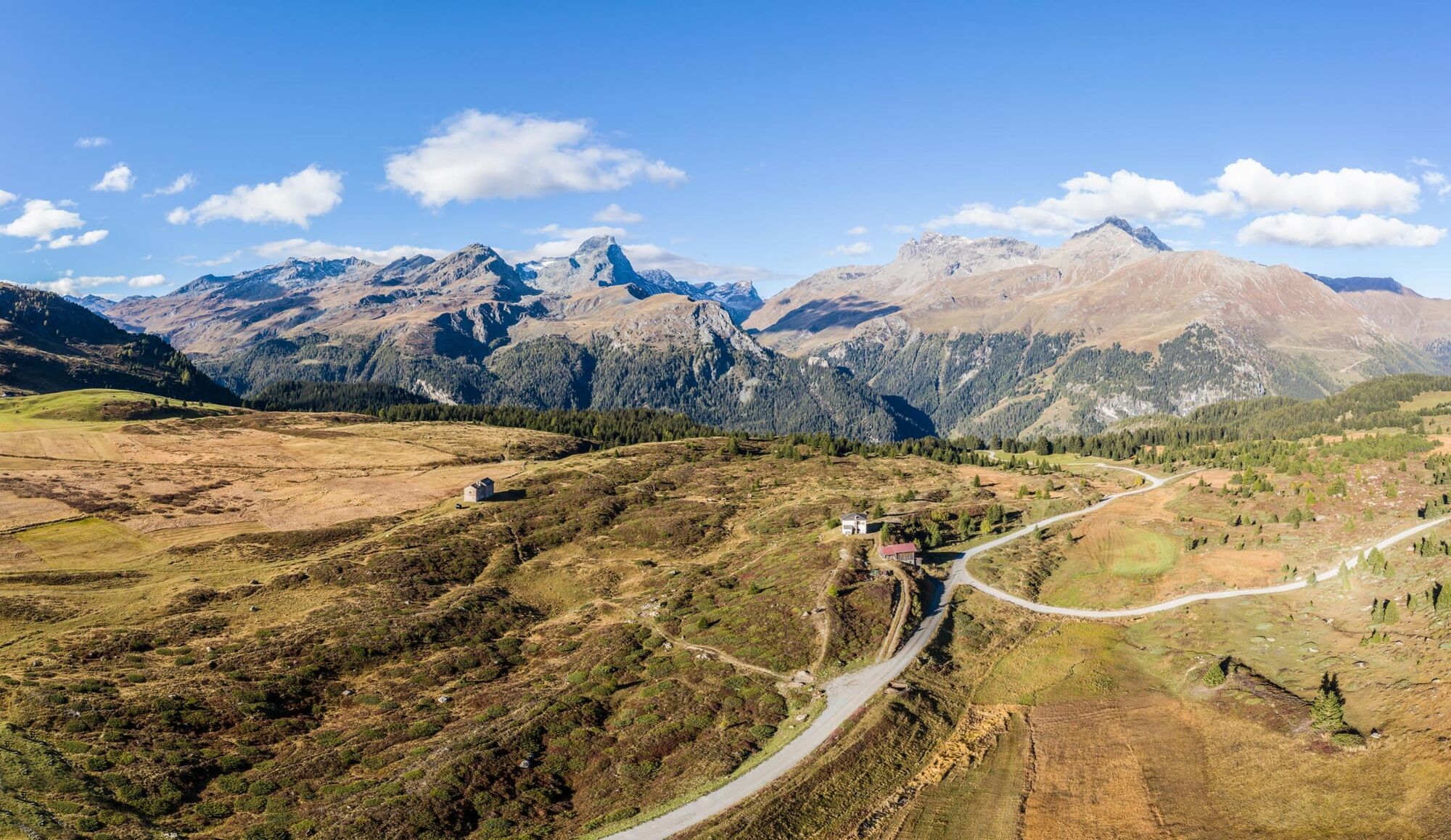
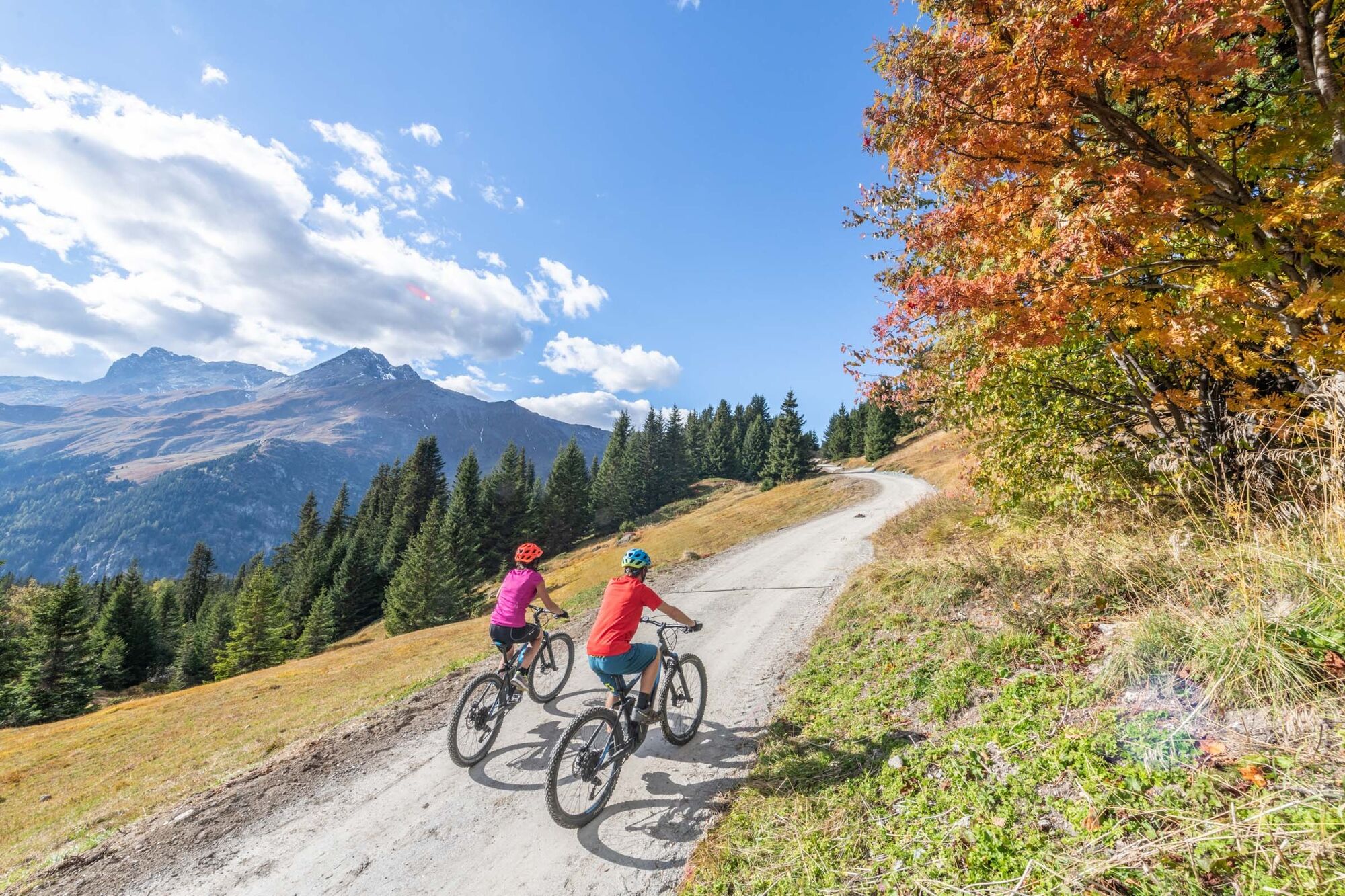
The tour is technically not so demanding, but is combined with the long ascent to Alp Flix. The tour passes along the river Julia upwards towards Tinizong and along the Roman way towards Rona. The steepest part of the tour is the final climb to the Alp Flix. Here the impressive plateau invites you to linger. There on the terrace of the restaurant you can forget about time.
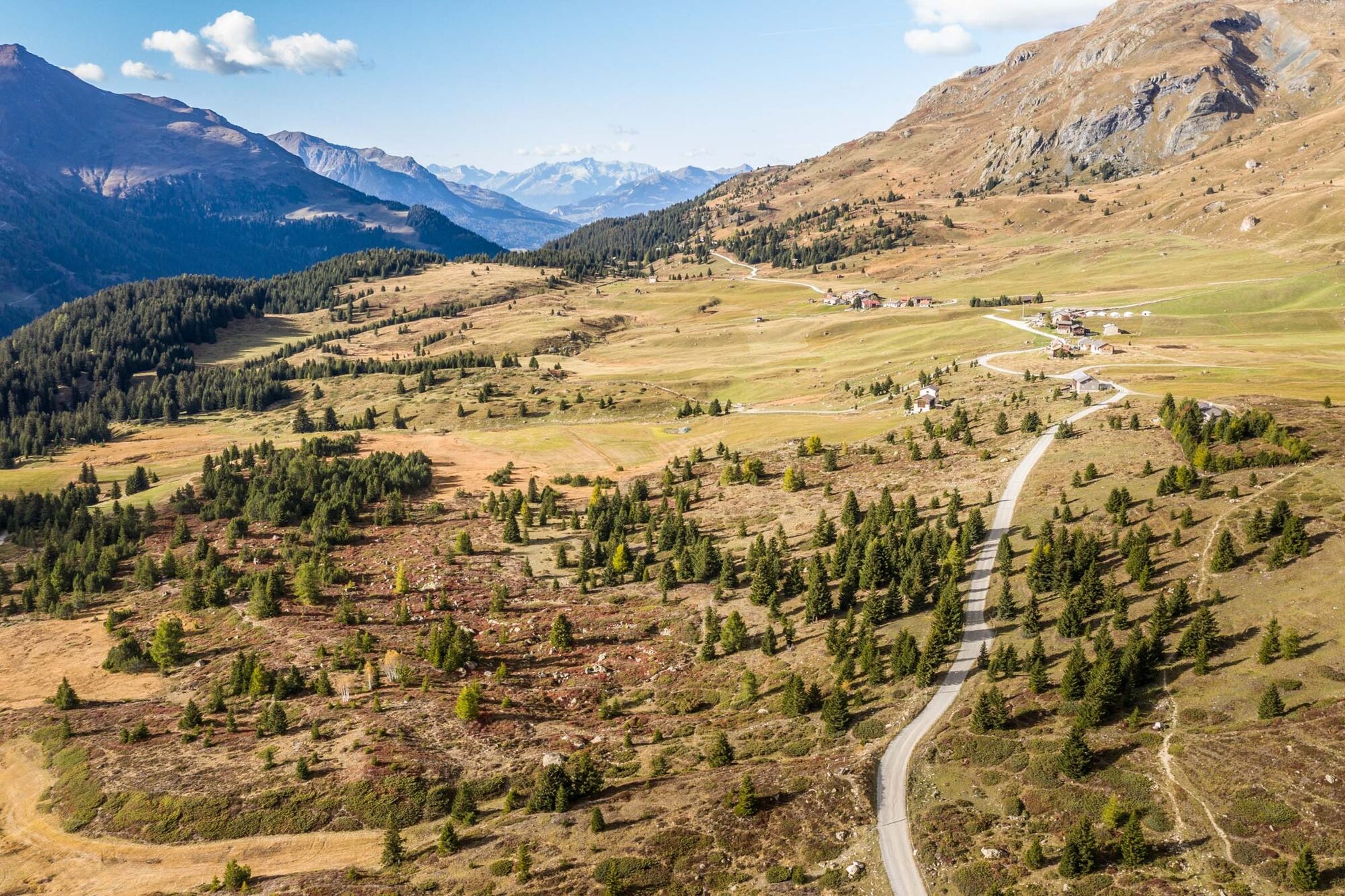
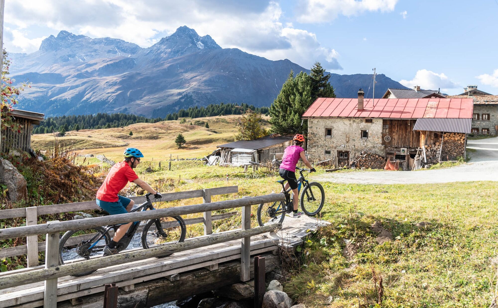
The sign-posted descent to the village Sur follows an asphalt path and a 2 kilometres on the cantonal road to Rona. From Rona the tour leads once more through forest paths and single tracks over Rudnal and back to Savognin. - Directions
-
Savognin - Tinizong - Rona - Alp Flix - Sur - Mulegns - Rona - Plaz Beischen - Rudnal - Savognin
- Highest point
- 2,001 m
- Endpoint
-
Savognin
- Height profile
-
 © outdooractive.com
 - Public transportation
-
By Post-Bus to Savognin Post Office.
- Author
-
The tour 660 The Trix and Flix Tour is used by outdooractive.com provided.


General info
-
Val Surses
208
-
Savognin
22