- Brief description
-
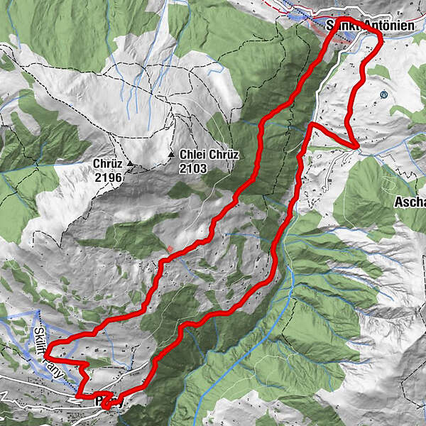
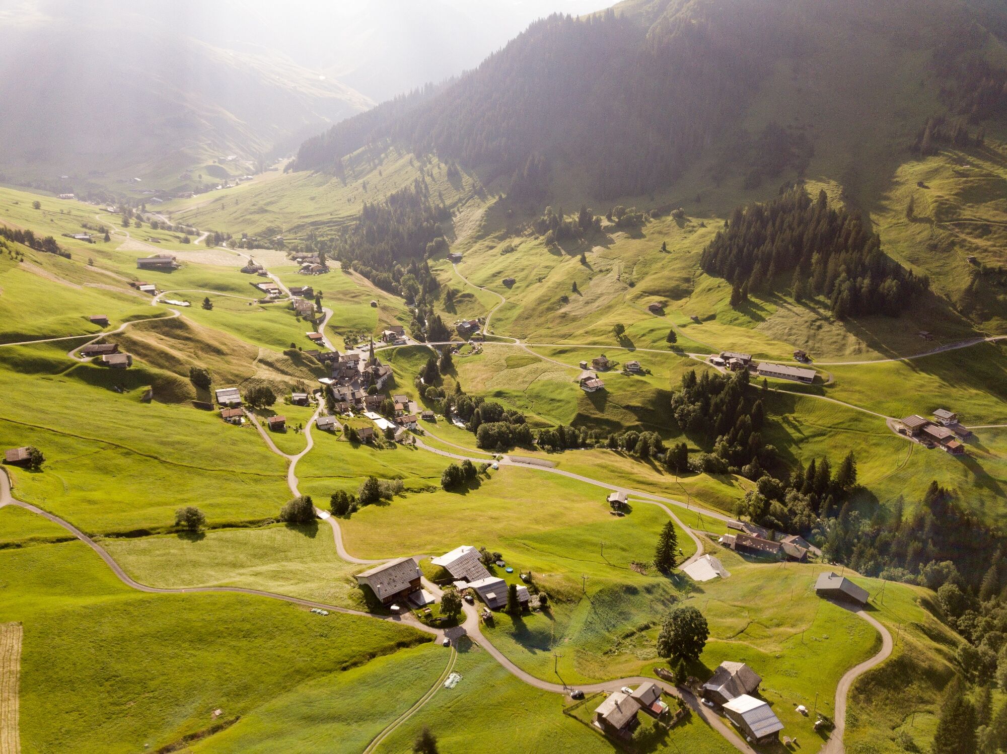
A fabulous single trail along the famous Swiss Bike Masters’ route to St.Antonien provides pleasure for the whole family while still capturing the racing-spirit.
- Difficulty
-
easy
- Rating
-
- Route
-
Reformierte Kirche PanyPany (1,250 m)Don Antonio0.0 kmGüggelstein0.7 kmChrüzhofbeiz1.5 kmHotel Restaurant Rhätia8.4 kmSankt Antönien (1,459 m)8.4 kmReformierte Kirche St. Antönien8.5 kmPlatz (1,420 m)8.5 kmHotel-Restaurant Madrisajoch8.5 kmMarschall8.6 kmGürgetsch8.9 kmBellawiese9.4 kmPany (1,250 m)15.6 kmReformierte Kirche Pany15.6 kmDon Antonio15.6 km
- Best season
-
JanFebMarAprMayJunJulAugSepOctNovDec
- Description
-
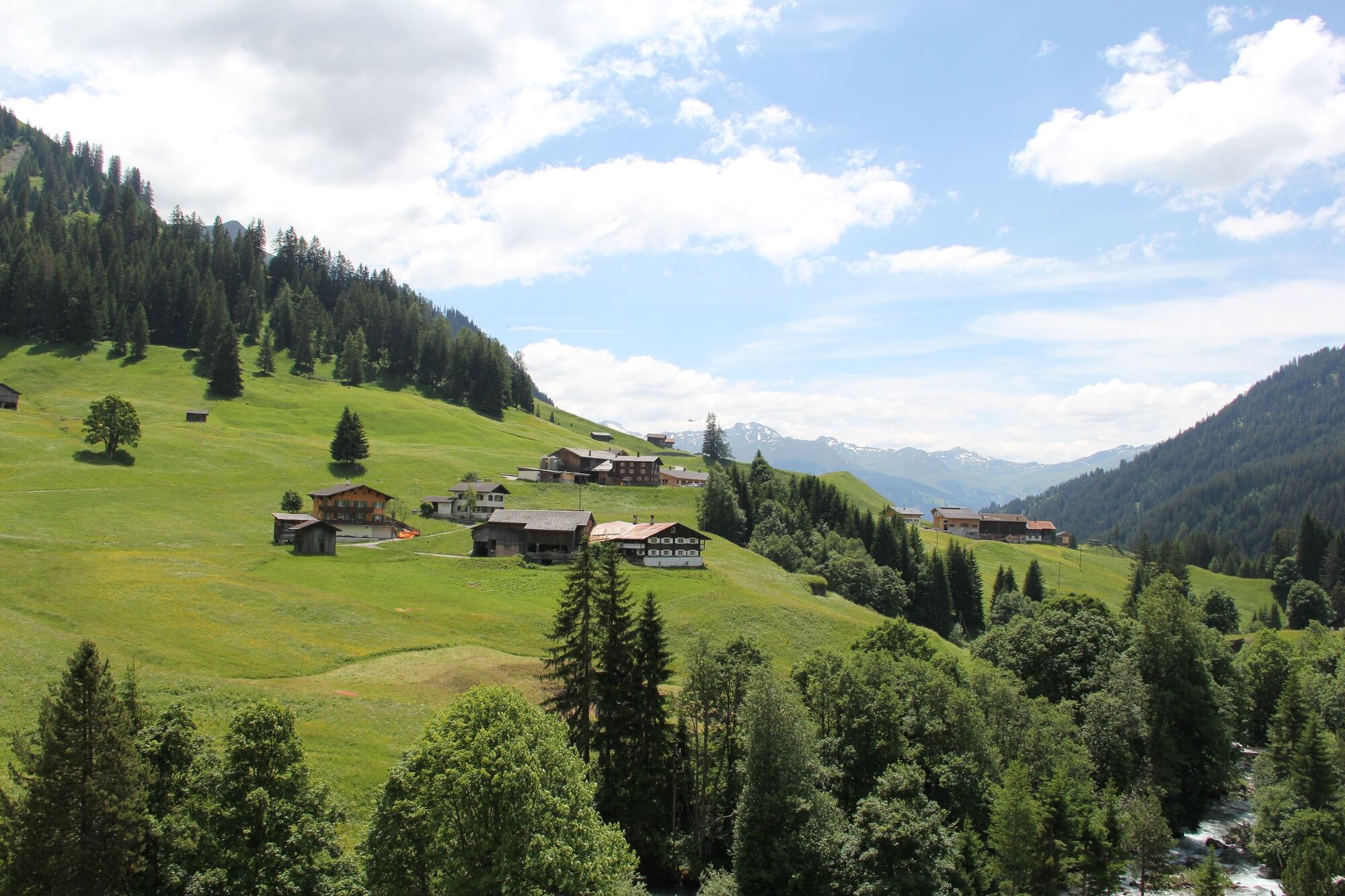
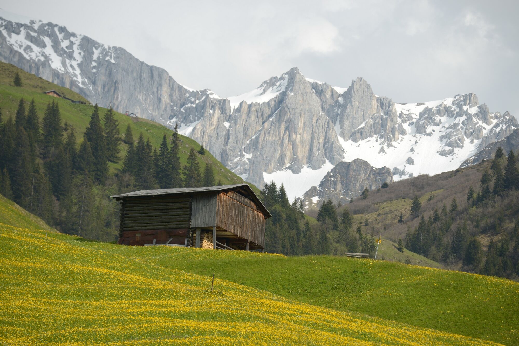
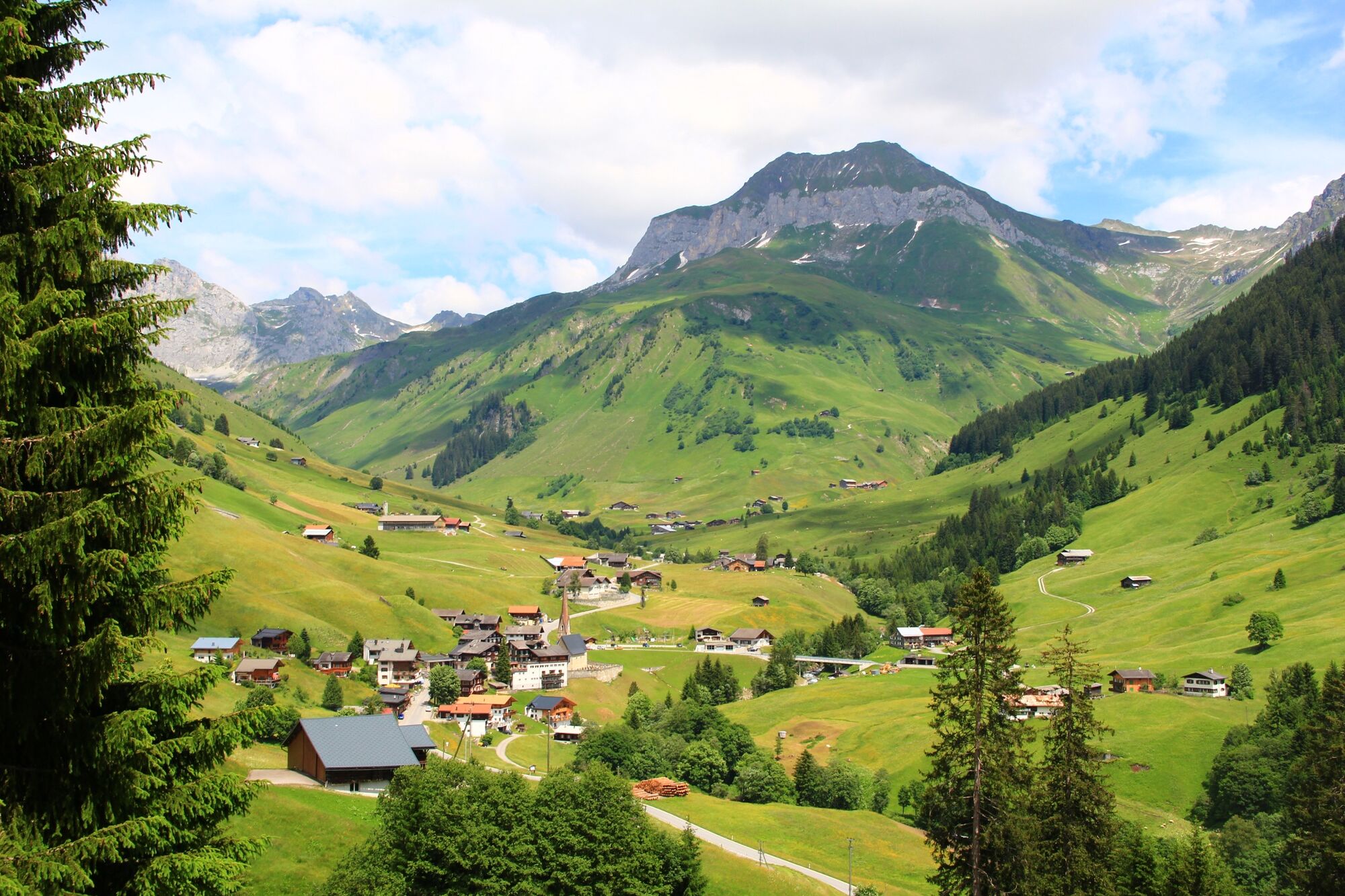
Pany is the starting-point for this tour. At 1,250 metres this natural sun terrace is a great place to start. Then it’s up towards Bova passing picturesque mountain huts along an asphalt road. In Bova the asphalt road turns into a quiet country lane. From this high point a beautiful view of St.Antönien with the majestic mountains of the Rätikon opens before you. Once a year in July thousands of mountain bikers follow this trail during the Swiss Bike Masters. This section of the marathon classic belongs to the most beautiful sections of the course. Here the whole family can really feel what it is like to take part in such a race. At the end of the single trail there is a short descent and then it is back onto asphalt before arriving in St.Antönien. This is the ideal place to break the tour and enjoy a pleasant meal in one of the mountain restaurants. After the welcome break in St.Antönien the Swiss Bike Master route pushes on again towards Ascharina. To begin with it follows an asphalt road, but later its turns off onto a gravel path with a rapid descent back onto the main road towards Pany. Then just before Pany a single trail takes you on a short climb to Haderegg and from there the final stretch brings you back to the starting-point in Pany.
- Highest point
- 1,640 m
- Endpoint
-
Pany
- Height profile
-
 © outdooractive.com
- Author
-
The tour 326 Bova is used by outdooractive.com provided.


Surfaces
General info
-
Prättigau
267
-
Pany - Luzein
53