© Sedrun Disentis Tourismus - Heidi Meier
© Sedrun Disentis Tourismus - Heidi Meier
© Sedrun Disentis Tourismus - Heidi Meier

© Sedrun Disentis Tourismus - Heidi Meier
© Sedrun Disentis Tourismus - Heidi Meier
© Sedrun Disentis Tourismus - Heidi Meier
© Sedrun Disentis Tourismus - Heidi Meier
© Sedrun Disentis Tourismus - Heidi Meier
© Sedrun Disentis Tourismus - Heidi Meier
© Sedrun Disentis Tourismus - Heidi Meier
- Brief description
-
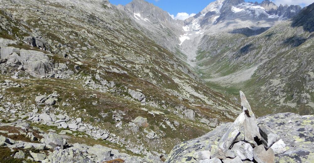
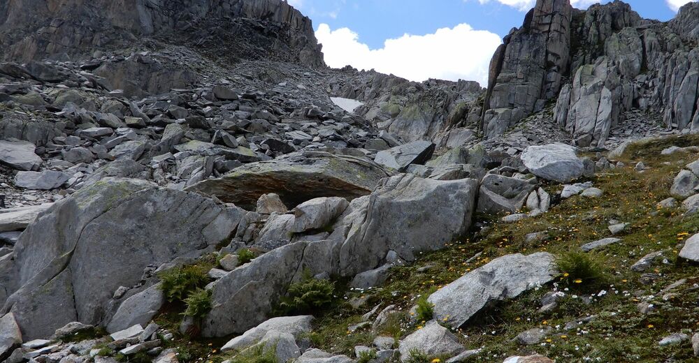
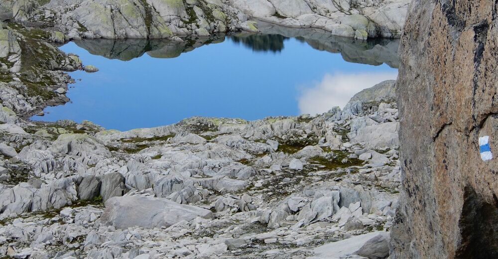
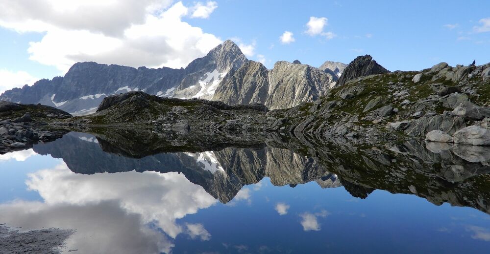
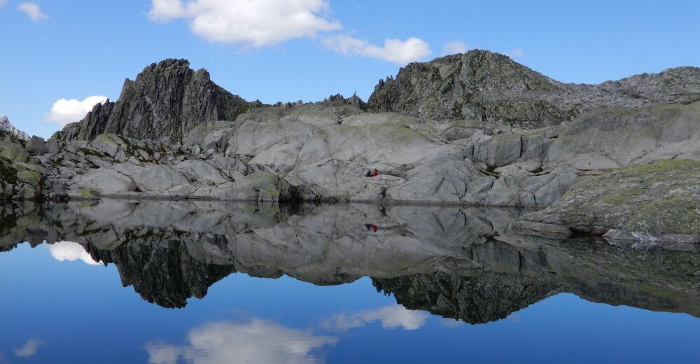
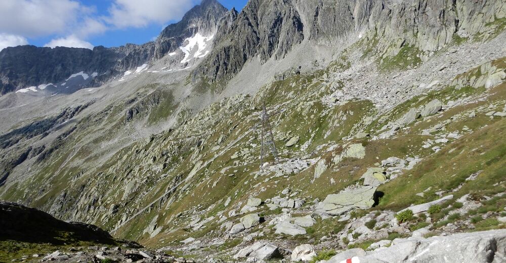
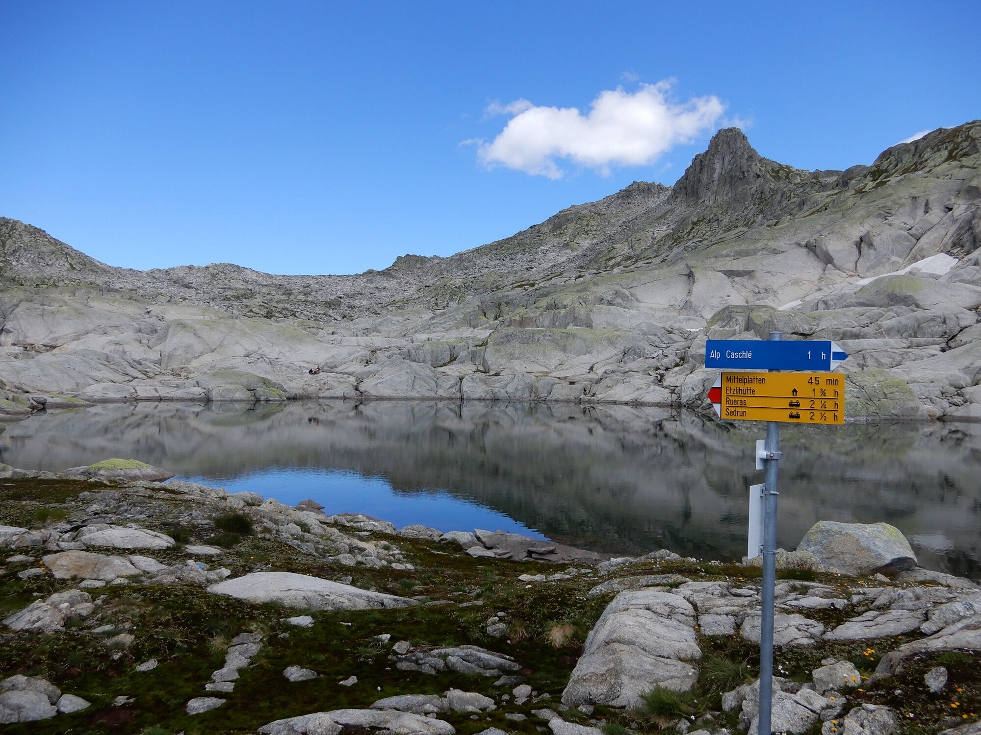
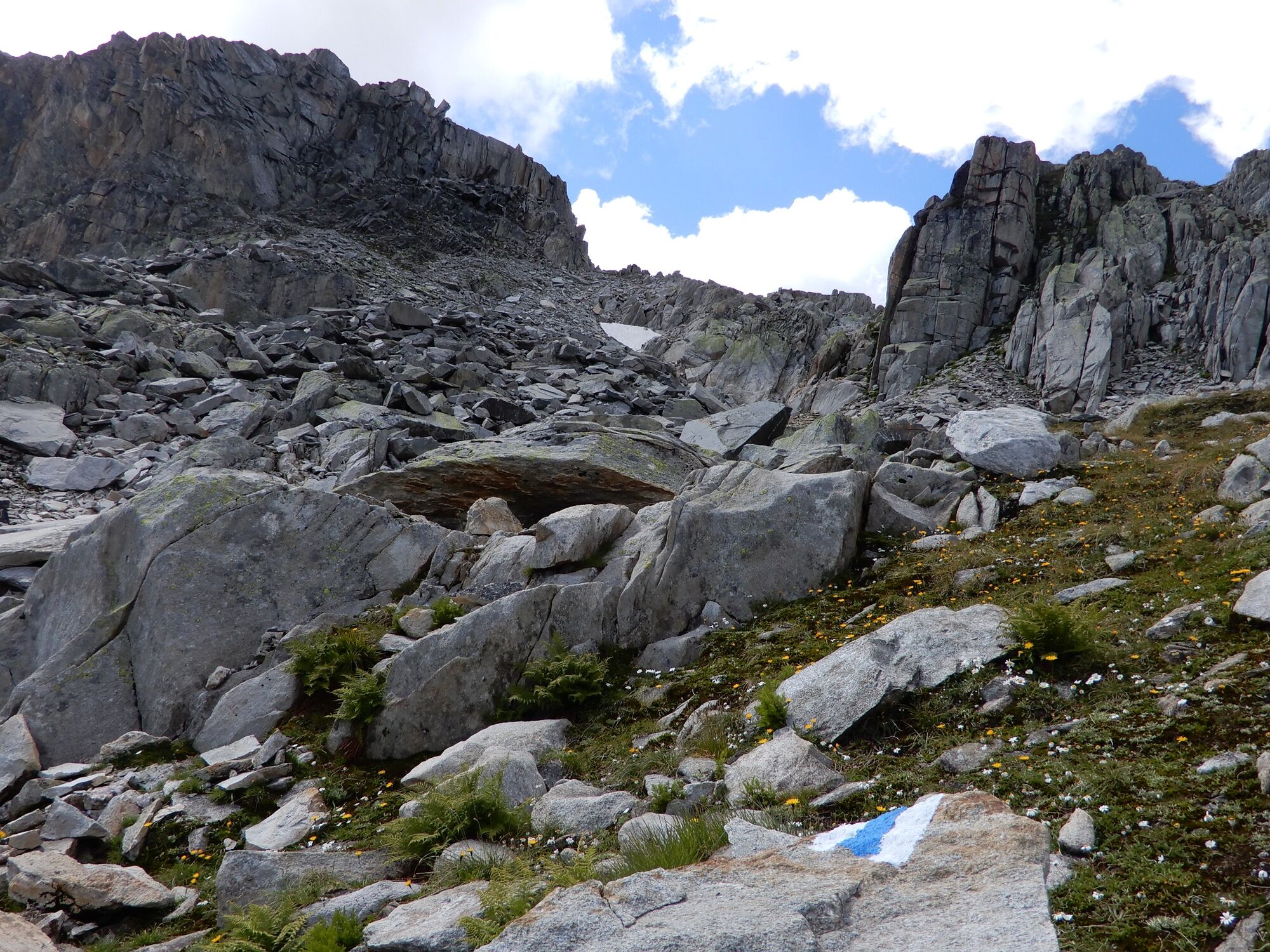
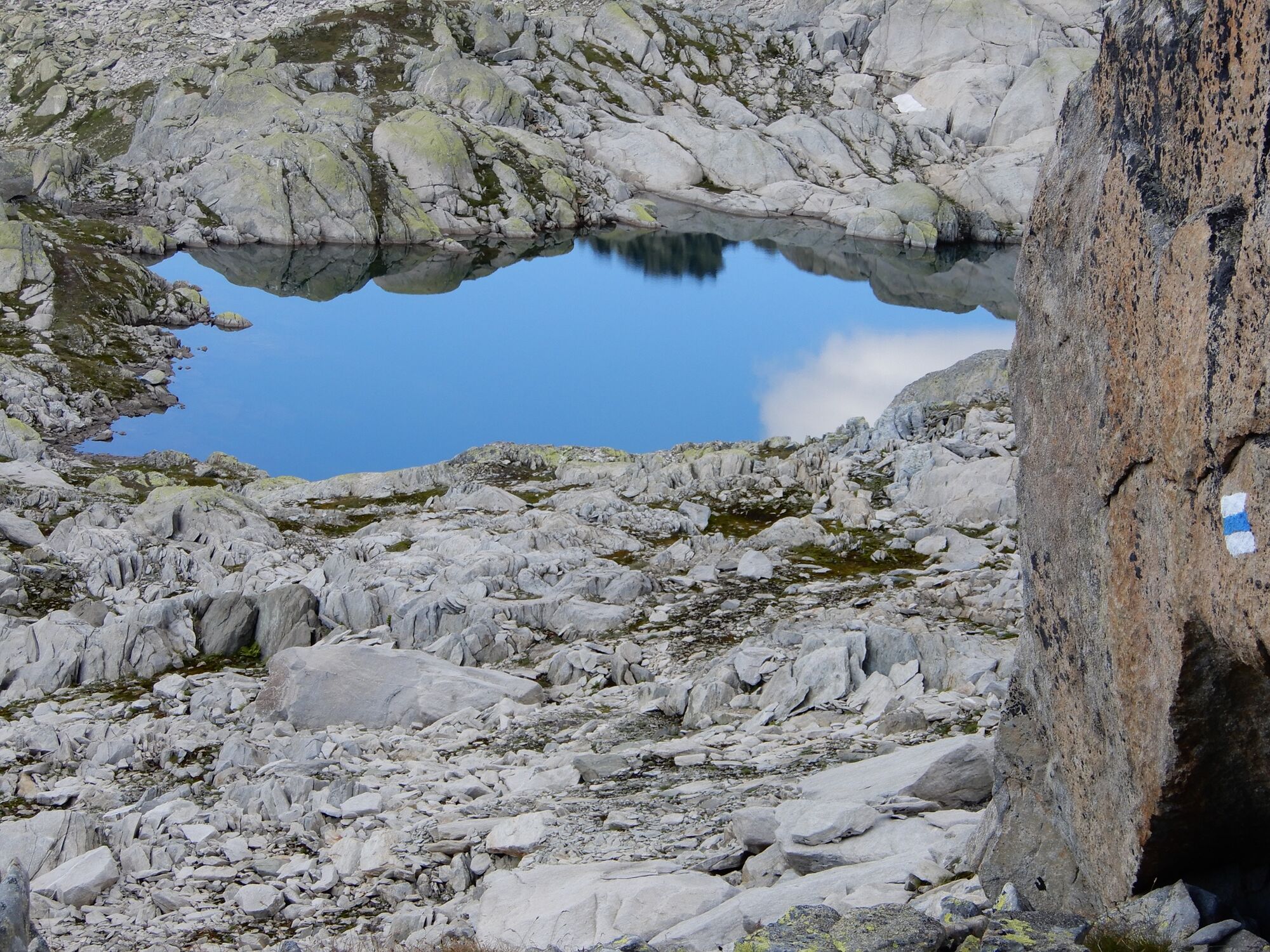
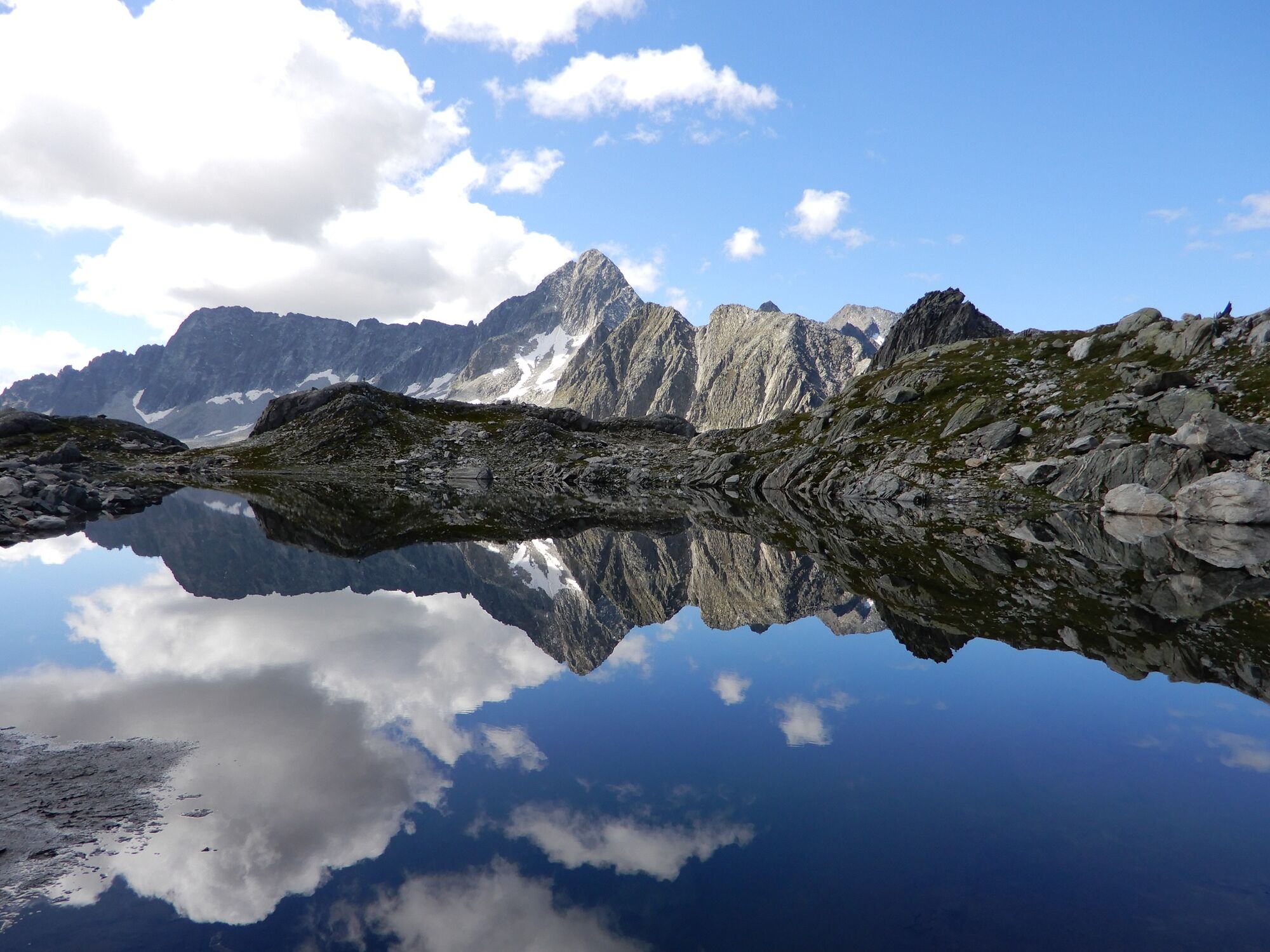
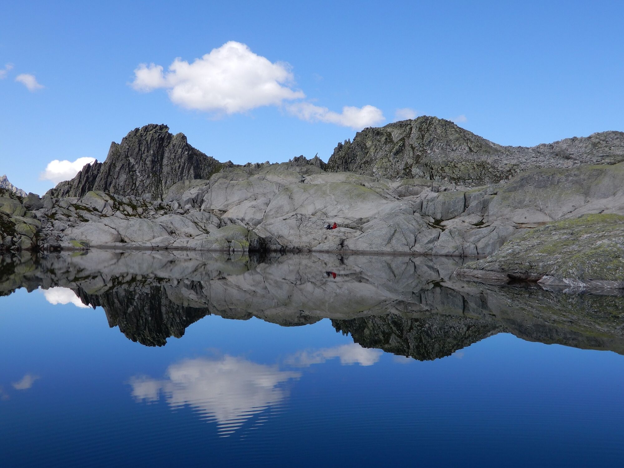
Eine anspruchsvolle Wandervariante zum Hexensee
- Difficulty
-
medium
- Rating
-
- Route
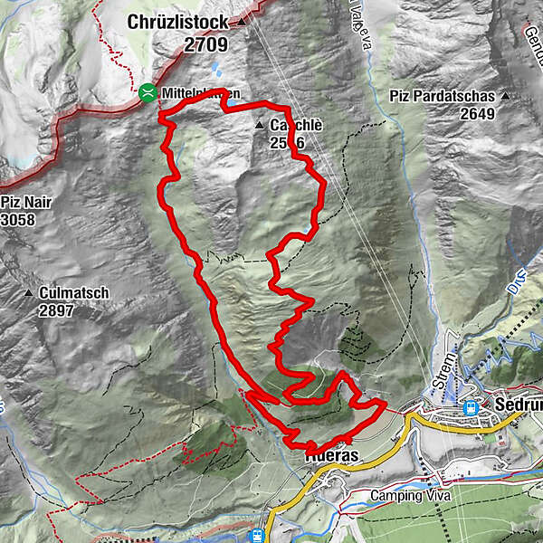
-
Rueras0.1 kmZarcuns0.5 kmPlatta di Barlot (2,207 m)5.0 kmSchutzhütte Val Milar8.9 kmRueras13.8 km
- Best season
-
JanFebMarAprMayJunJulAugSepOctNovDec
- Highest point
- 2,481 m
- Endpoint
-
Bahnhaltestelle Rueras
- Height profile
-
 © outdooractive.com
-

-
AuthorThe tour Alp Caschlé - Hexensee is used by outdooractive.com provided.
GPS Downloads


General info
Cultural/Historical
Insider tip
A lot of view
Other tours in the regions
-
Uri
23
-
Disentis Sedrun
16
-
Tujetsch
9