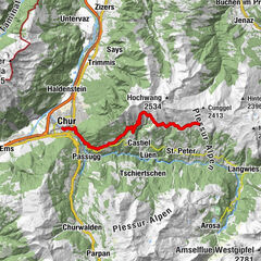
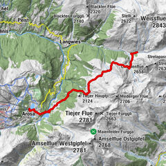
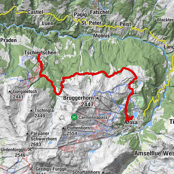
Schanfigger Höhenweg, 2nd route, Tschiertschen - Arosa


- Brief description
-
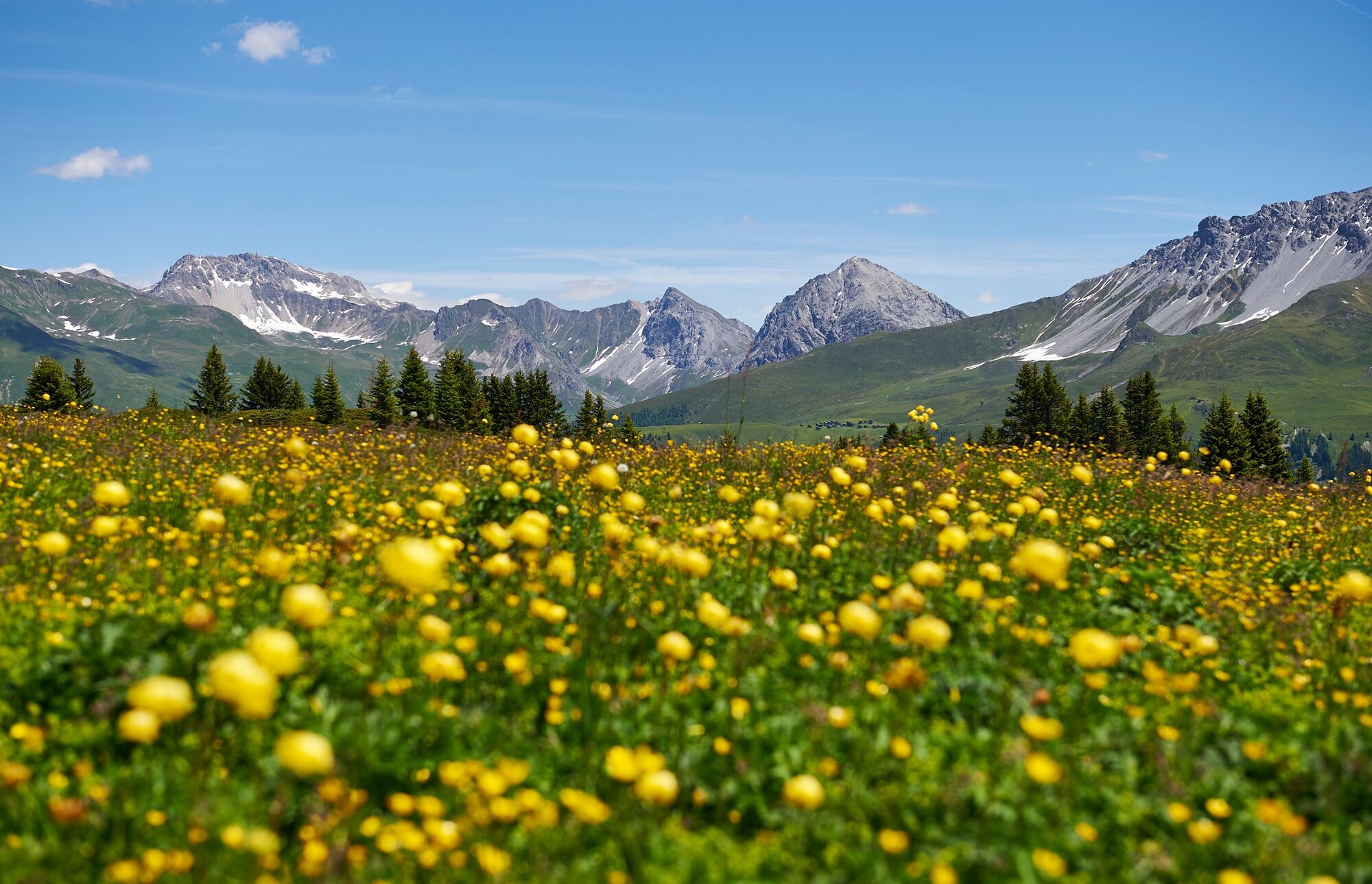
Mountain hike with panoramic views: The second section of the Schanfigger Höhenweg begins with a steep ascent from Tschiertschen and leads on wide alpine paths via Ochsenalp to Arosa.
- Difficulty
-
medium
- Rating
-
- Starting point
-
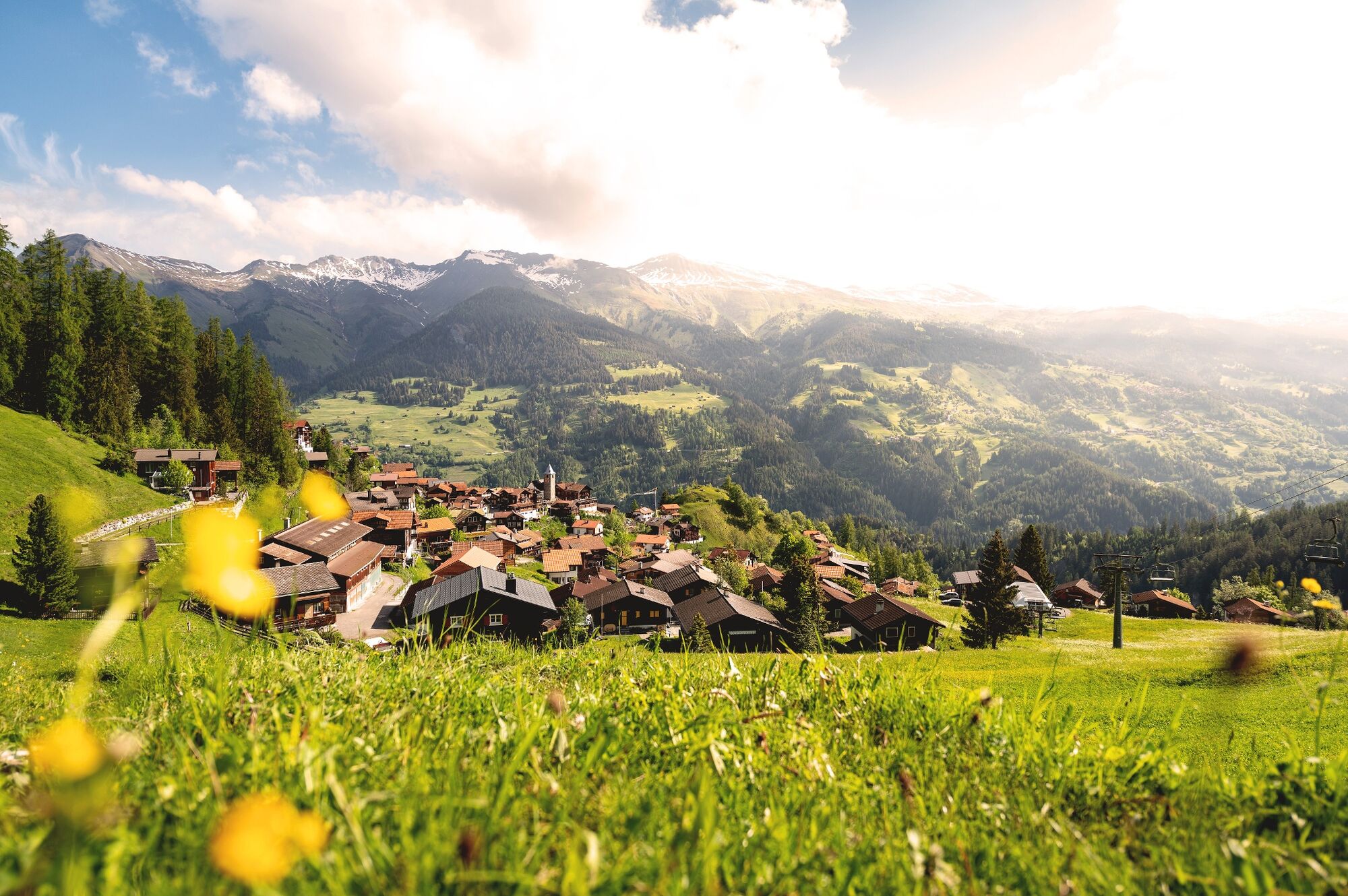
Tschiertschen
- Route
-
CentralTschiertschen (1,343 m)0.0 kmErlebnisstall0.2 kmOchsenalp6.9 kmRot Tritt9.5 kmPrätschli12.7 kmArosa (1,739 m)13.9 kmArosa14.3 kmArosa (1,739 m)14.5 km
- Best season
-
JanFebMarAprMayJunJulAugSepOctNovDec
- Description
-
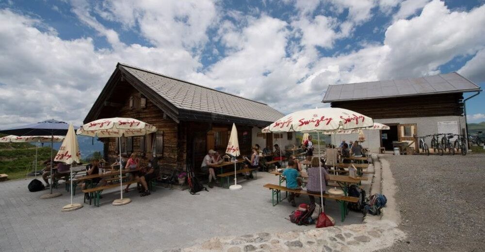
The picturesque village of Tschiertschen was voted the most beautiful mountain village in Graubünden. From there, the trail continues over the Löser towards Ochsenalp. On the way you will meet numerous hikers and bikers. The Ochsenalp is about halfway along the trail and is a good place to stop for a rest. Alternatively, there is a fireplace at Rot Tritt or at Ober Prätschsee. After the Ochsenalp, the route via the Scheidegg instead of the Rot Tritt is a good choice. From Prätschli the local bus goes to Arosa railway station. If you want to walk to the centre, you can take the forest path over the Scheitenböden to the station. Once in Arosa, overnight guests benefit from the Arosa all-inclusive card.
- Directions
-
Tschiertschen - Clüs - Löser - Ochsenalp - Rot Tritt - Prätschalp - Prätschli - Arosa
- Highest point
- 2,007 m
- Endpoint
-
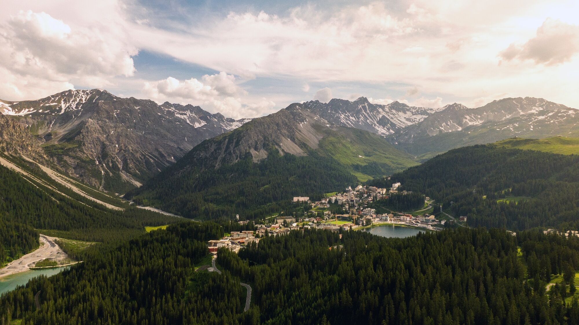
Arosa
- Height profile
-
 © outdooractive.com
 - Equipment
-
Good shoes, rain jacket, walking sticks if necessary, enough to drink, snack to eat.
- Safety instructions
-
This section is not dangerous and is very well frequented, not only by hikers but also by mountain bikers. As the road is wide, you hardly ever get in each other's way.
- Tips
-
Above Prätschli you have the option of making a detour via the Arlenwald. The Arosa Bärenland is located at the middle station - this diversions is worthwhile.
- Additional information
-
Once the ascent from Tschiertschen to the gate at the beginning of the Ochsenalp has been completed, the (high) trail is cut and pleasant to hike. In total, there are 650 metres of ascent and 250 metres of descent over a distance of 14 km. Expect about 4:15 hours of pure hiking time.
Fireplace: Rot Tritt, upper Prätschsee lake
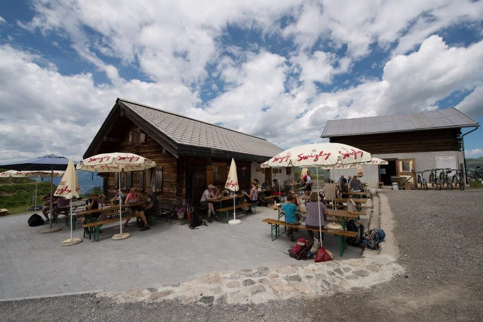
Refreshments en route: Ochsenalp, Prätschlistall
Overnight accommodation: Various accommodations in Arosa
- Directions
-
By car via the motorway or main road to the Graubünden capital Chur. Tschiertschen can be reached by car from Chur within 20 minutes. Use the route planner to find the easiest, most comfortable and fastest way to Tschiertschen. However, we recommend that you park your car in Chur and continue your journey to Tschiertschen by post bus.
- Public transportation
- Parking


- Author
-
The tour Schanfigger Höhenweg, 2nd route, Tschiertschen - Arosa is used by outdooractive.com provided.