35.19 Walserweg Graubünden Etappe 19: St. Antönien - Brand (AT)


- Brief description
-
From the Skihaus Casanna over the Durannapass to Klosters Platz.
- Difficulty
-
medium
- Rating
-
- Starting point
-
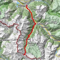
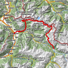
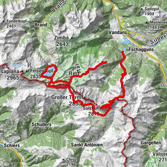
St. Antönien
- Route
-
Douglasshütte12.7 kmLünerseebahn Bergstation12.8 kmGasthaus Schattenlagant15.6 kmKesselfall17.9 kmRestaurant Alpen Tenne19.7 kmBrand20.1 km
- Best season
-
JanFebMarAprMayJunJulAugSepOctNovDec
- Description
-
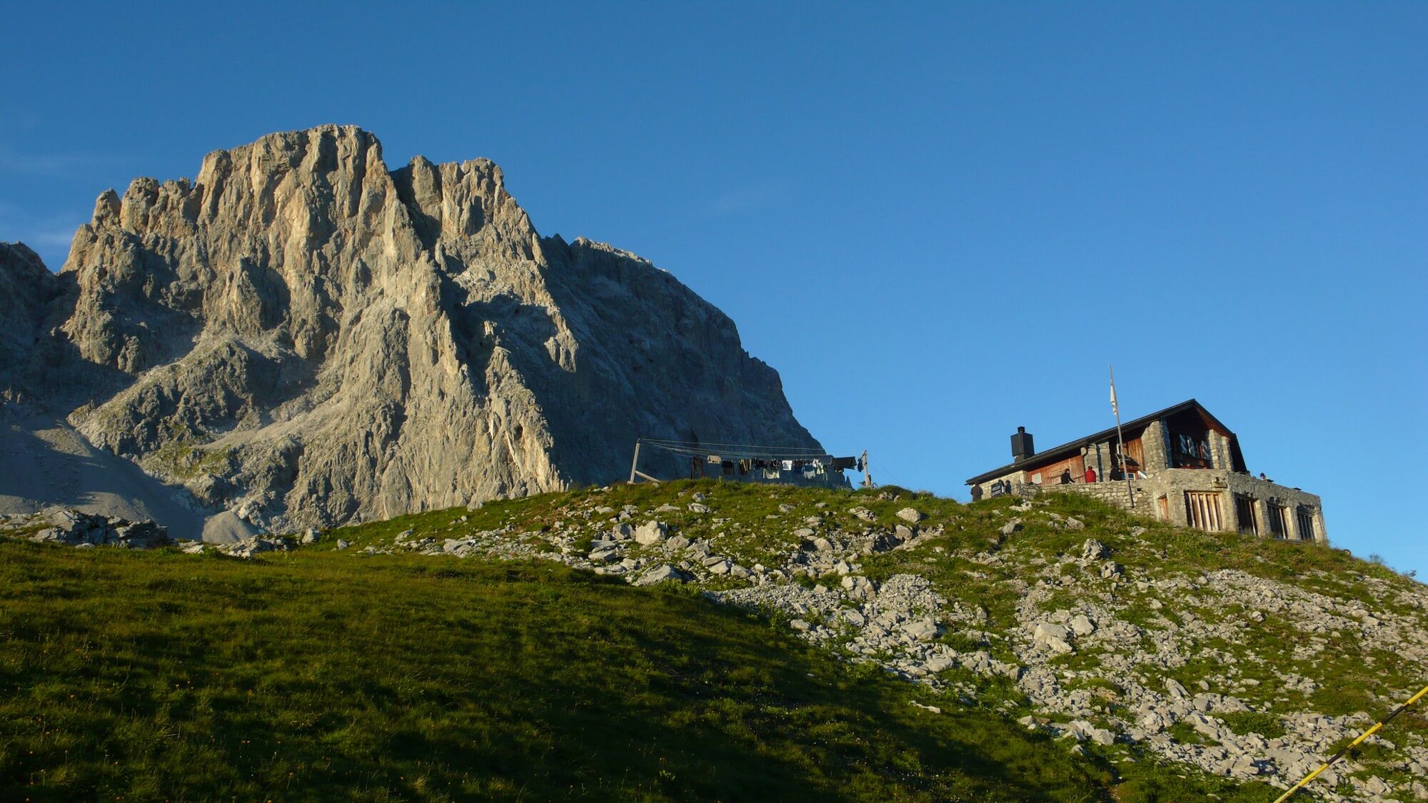
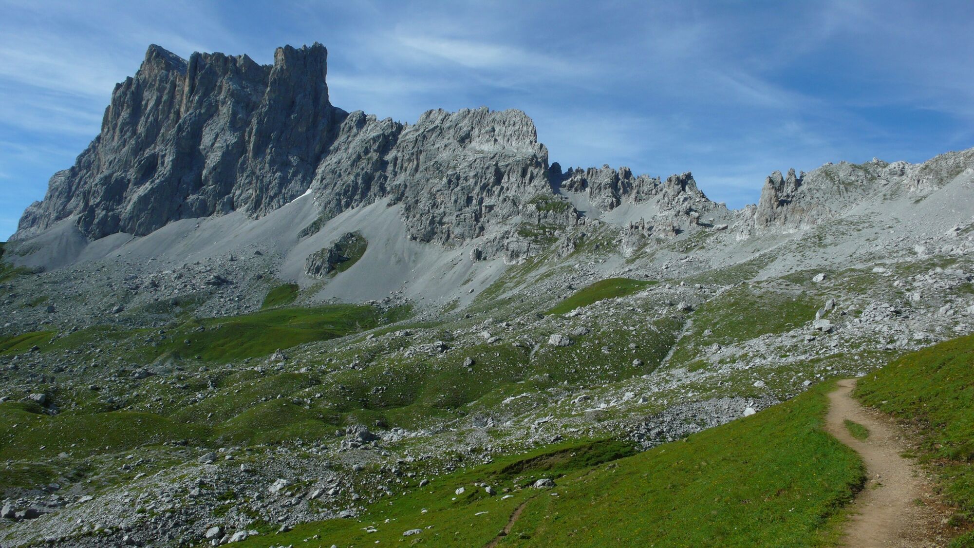
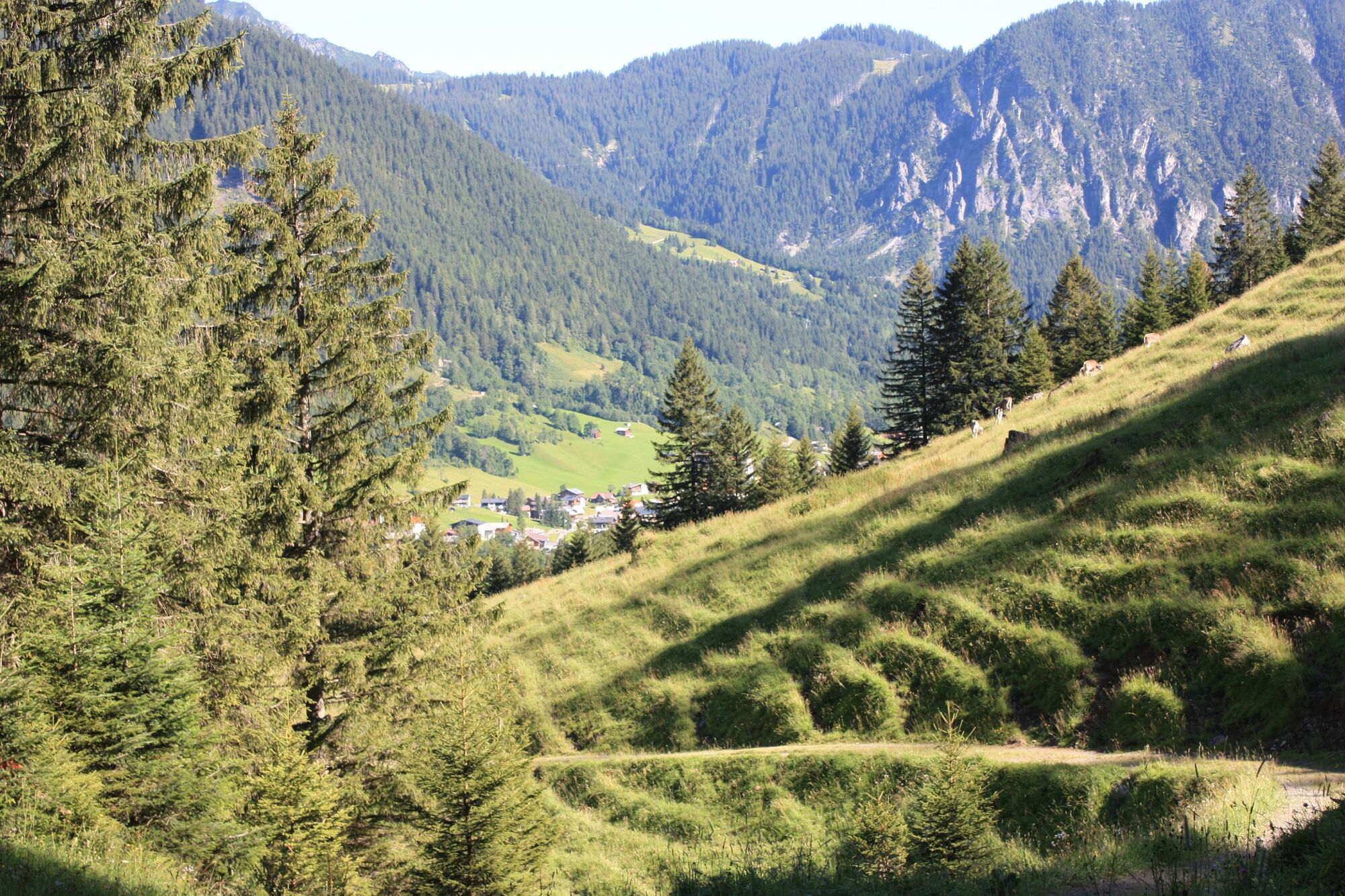
Walser people settled early in Partnun, below the Schijenflue, as they did in Gafiatal. Today an alp area with typical timber houses in the middle of the Rätikonmassiv - an outdoor eldorado. Schweizertor: Alpine crossing to Brand (A), where the first Walsers settled in the 14th century.
Please note: sure-footedness essential at Schweizertor.
- Directions
-
The exact directions can be found in the book "Walserweg Graubünden", Rotpunktverlag. The route is indicated throughout with route number 35. However, description and signaling do not replace a hiking map.
- Highest point
- 2,315 m
- Endpoint
-
Brand (AT)
- Height profile
-
 © outdooractive.com
 - Equipment
-
Mountain boots and daypack.
- Tips
-
5 nights from Langwies to St. Antönien: CHF 769 in a double room with half board, 3 x luggage transport, packed lunch, the book "Walserweg Graubünden", travel documentation.
Information at www.walserweg.ch
- Additional information
-
Further information about the Walser Trail Graubünden can be found here www.walserweg.ch


- Author
-
The tour 35.19 Walserweg Graubünden Etappe 19: St. Antönien - Brand (AT) is used by outdooractive.com provided.


General info
-
Heidiland
2207
-
Brandnertal
1570
-
Brand
431


")