Via Bregaglia - Nature, villages and culture


- Brief description
-
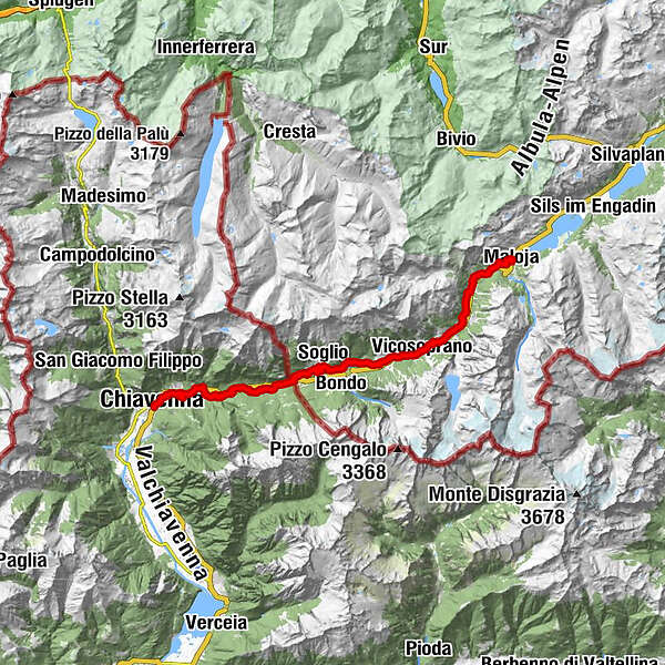
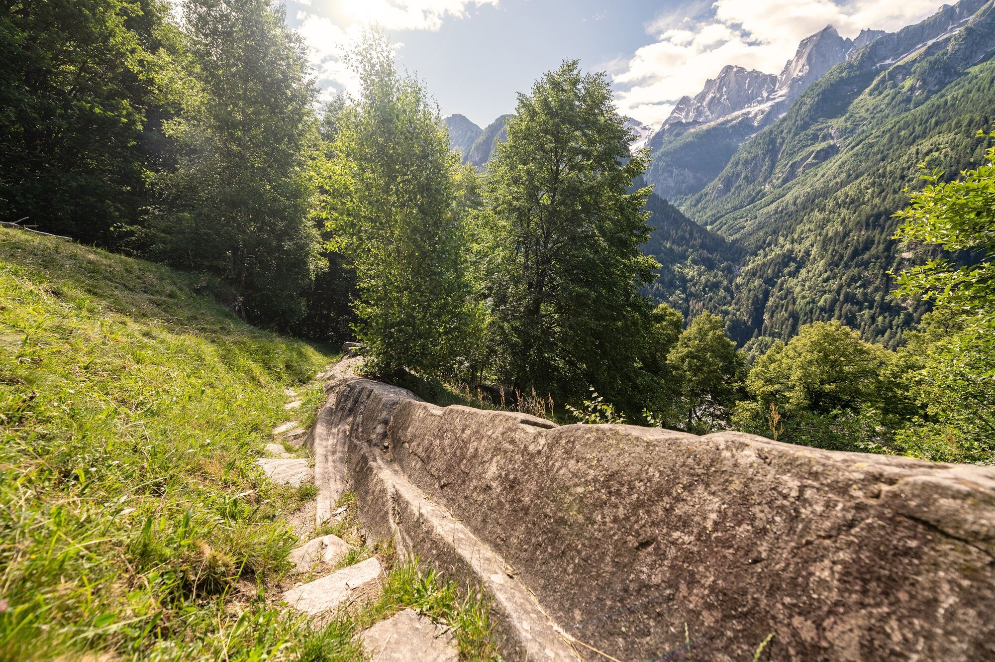
The Via Bregaglia leads through the Bregaglia valley, from alpine Maloja at 1800 metres to mediterranean Chiavenna at 333 metres. It's interesting to observe how the climate, smells and plants change along the way.
- Difficulty
-
medium
- Rating
-
- Starting point
-
Maloja
- Route
-
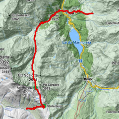
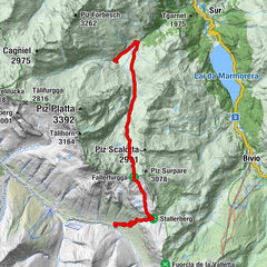
Maloja (1,809 m)Kirche St. Peter und Paul0.0 kmSchweizerhaus0.1 kmMaloja Posta0.1 kmCavril (1,551 m)2.2 kmCasaccia (1,458 m)4.0 kmLizun5.5 kmBarga6.8 kmRöivan7.5 kmTognaca7.6 kmPravaqual7.9 kmPranzaira8.9 kmPungell9.8 kmCadalpena10.9 kmReformierte Kirche S. Trinità11.2 kmVicosoprano (1,067 m)11.3 kmSur Albigna11.6 kmBorgonovo12.9 kmAua Marcia13.5 kmStampa (995 m)14.0 kmMartinenga14.1 kmSturäl14.4 kmLa Stala14.8 kmValär14.8 kmColtura14.8 kmDulezi15.7 kmCaccior (929 m)17.2 kmPromontogno (832 m)18.8 kmSils im Bergell (1,097 m)20.2 kmReformierte Kirche Soglio20.3 kmStüa Granda20.3 kmLò20.5 kmSot Funtana20.6 kmCarnella20.6 kmPregüi21.1 kmPlazza21.9 kmCascate del Caroggia22.3 kmStoll (863 m)22.6 kmVazza22.7 kmClüs22.7 kmTrognun23.5 kmBrentan24.1 kmCastasengen (690 m)24.2 kmVecchia Dogana24.7 kmRistorante Pizzeria Altavilla24.9 kmCrotto Ghiggi25.4 kmSan Barnaba (670 m)26.3 kmLanterna Verde26.3 kmVilla di Chiavenna (640 m)26.8 kmOratorio di Sant'Elisabetta27.8 kmGiavera (598 m)27.8 kmPunt (513 m)30.4 kmSanta Croce (512 m)30.6 kmChiesa dell'Invenzione della Croce30.6 kmChiesa parrocchiale di San Martino30.6 kmAurogo (497 m)31.1 kmBoate31.7 kmScilano32.0 kmCapela di Moort32.3 kmSan Michele32.5 kmSarlone32.9 kmBorgonuovo33.3 kmGiüpéet34.6 kmProsto (380 m)34.6 kmGrotta di Lourdes34.9 kmCascata del Cavrii35.0 kmPian del Lago35.5 kmCà de la Pòšta35.8 kmCà di Cént36.0 kmCappella di San Cassiano36.0 kmChiesa parrocchiale della Beata Vergine Assunta36.1 kmCrotti di Belvedere36.2 kmOrelli37.3 kmBottonera37.6 kmLadranio37.7 kmOltremera37.9 kmSaliceto37.9 kmCantòn38.0 kmSanta Maria38.1 kmCläven (333 m)38.1 kmChiesa di Santa Maria38.2 km
- Best season
-
JanFebMarAprMayJunJulAugSepOctNovDec
- Description
-
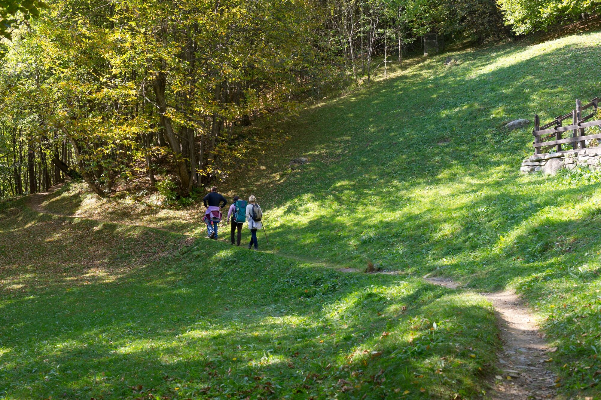
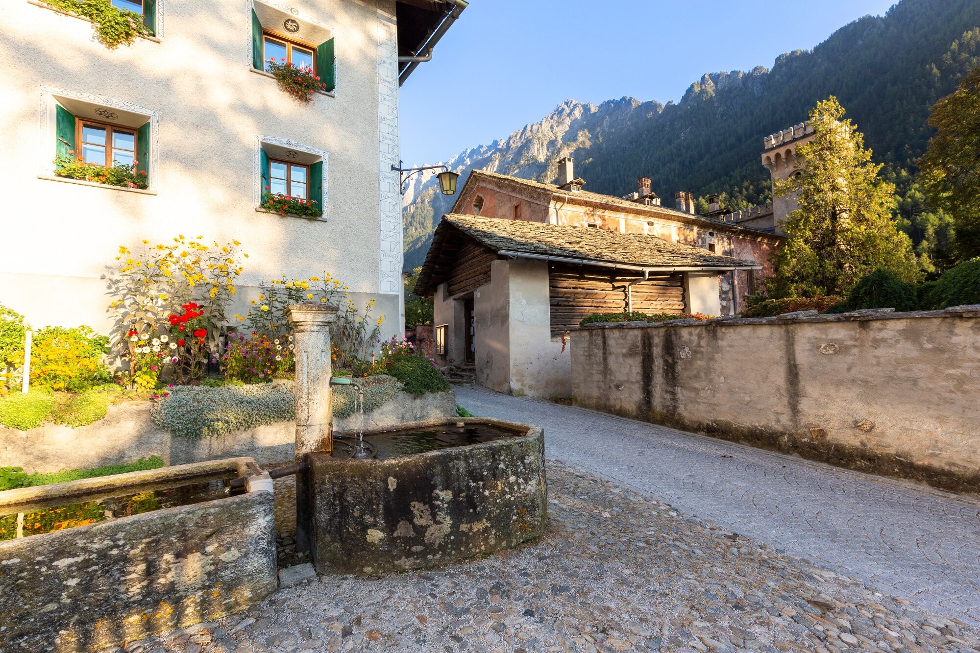
On the Via Bregaglia you can always choose which direction to take and who how long you want to walk. The Via Bregaglia leads through small villages: the paths connecting them are partly old roads, partly pretty diversified hiking trails. Along the way, museums in Stampa but also in Vicosoprano, invite you to visit them, there are also numerous places to stop for refreshments. Once in Chiavenna, let yourself be spoilt by the Italian hospitality and atmosphere, relax on the piazza and enjoy a well-deserved cappuccino or an aperitif. By the way, with the postbus line 4 which drives through the valley, the hike can be interrupted or shortened at any time.
- Directions
-
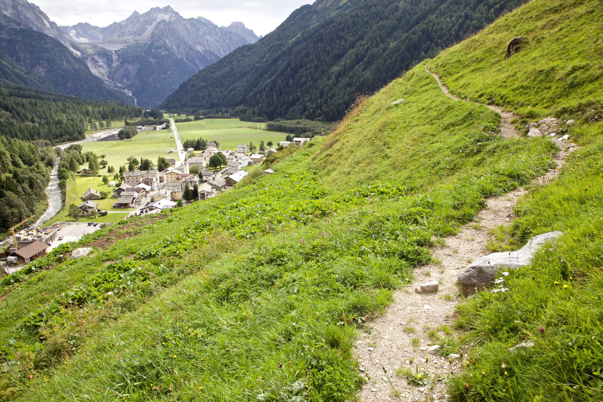
1st Stage: Maloja - Vicosoprano
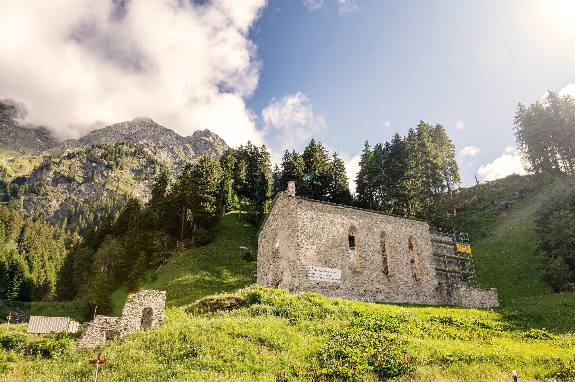
The first stage of the historic trail leads through forests and meadows, past historical and natural monuments: the Belvedere tower and the marmitte dei giganti in Maloja, the ruins of the San Gaudenzio church in Casaccia, the Pretorio in Vicosoprano.
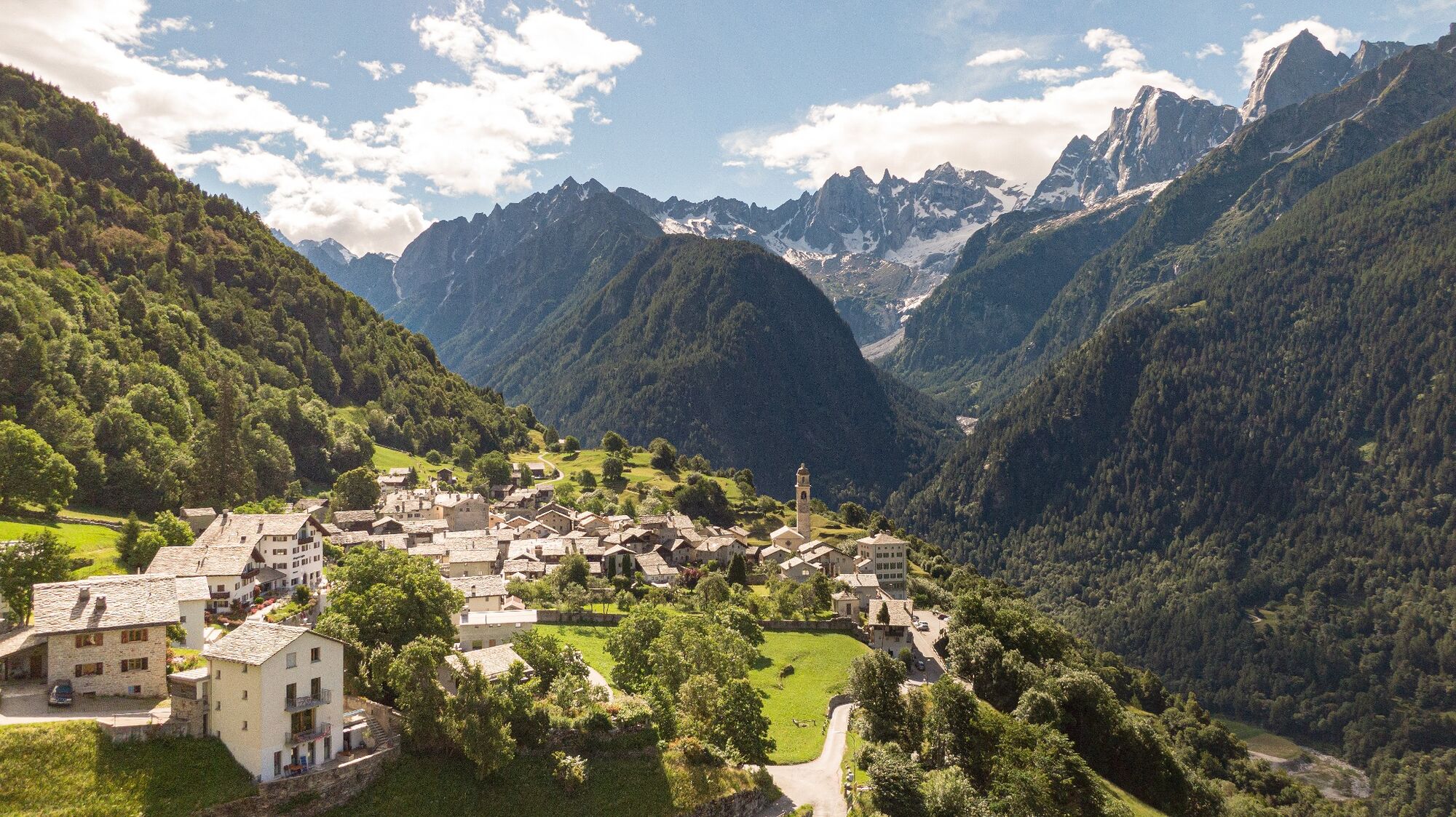
2nd Stage: Vicosoprano - Soglio
Along the second stage there are many historical and cultural points of interest: Borgonovo is the birthplace of the famous Alberto Giacometti. In Stampa you can visit the valley museum Ciäsa Granda with the Giacometti-Varlin Hall and in Coltura the Castelmur Palace. The "La Plotta" trail with breathtaking views of the Sciora group and Pizzo Badile will lead you to Soglio.
3rd Stage: Soglio - Chiavenna
The last stage of the Via Bregaglia hike takes place mainly on Italian territory. Before crossing the border, we recommend the "Il Castagneto" nature trail in Brentan. In Piuro you can refresh yourself at the Acqua Fraggia waterfalls before reaching Chiavenna with its culinary specialties and picturesque old town.
- Highest point
- 1,852 m
- Endpoint
-
Chiavenna (IT)
- Height profile
-
 © outdooractive.com
 - Equipment
-
Hiking shoes, sunscreen, waterproof jacket
- Tips
-
All points of interest along the trail can be found on bregaglia.ch
- Additional information
-
The package "Via Bregaglia" includes:
Bed and breakfast, luggage transport, packed lunch, a hiking map and of course, a warm welcome. The package can be modified on request: You can freely book the length of the stay as well as the starting location and destination:
Pacchetto escursionistico Via Bregaglia - Bregaglia Engadin Turismo
- Directions
-
PostAuto nr 4, St. Moritz Chiavenna
- Public transportation
- Parking
-
Maloja Orden (free)
Chiavenna station


- Author
-
The tour Via Bregaglia - Nature, villages and culture is used by outdooractive.com provided.


General info
-
Comer See
760
-
Val Bregaglia Engadin
466
-
Bondo
95