
- Brief description
-
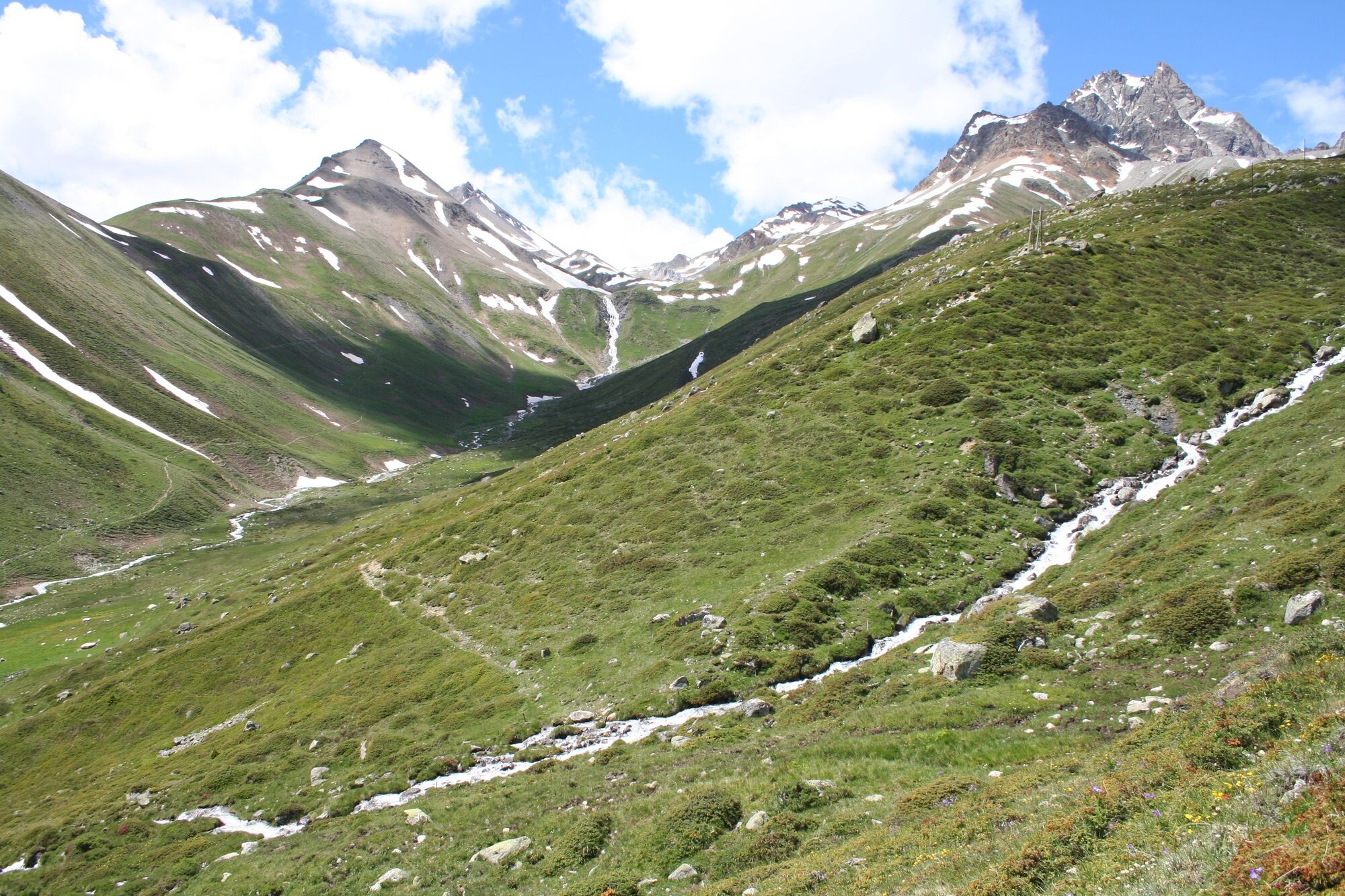
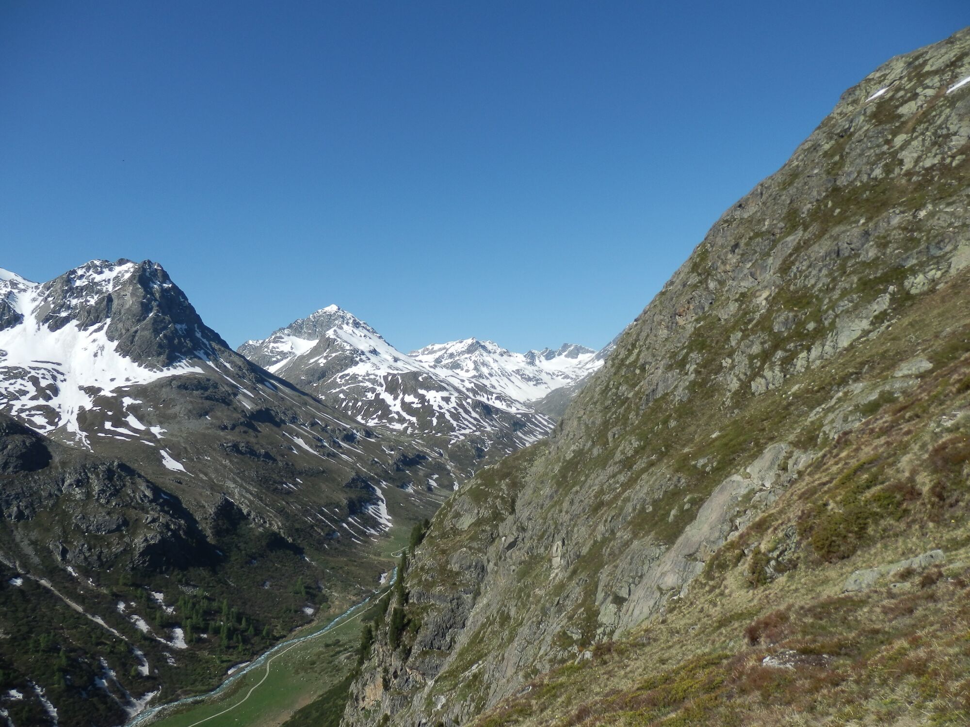
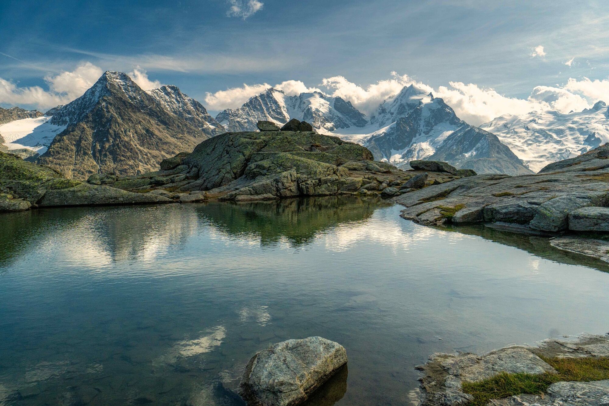
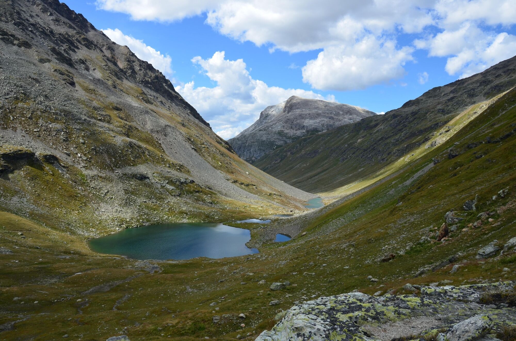
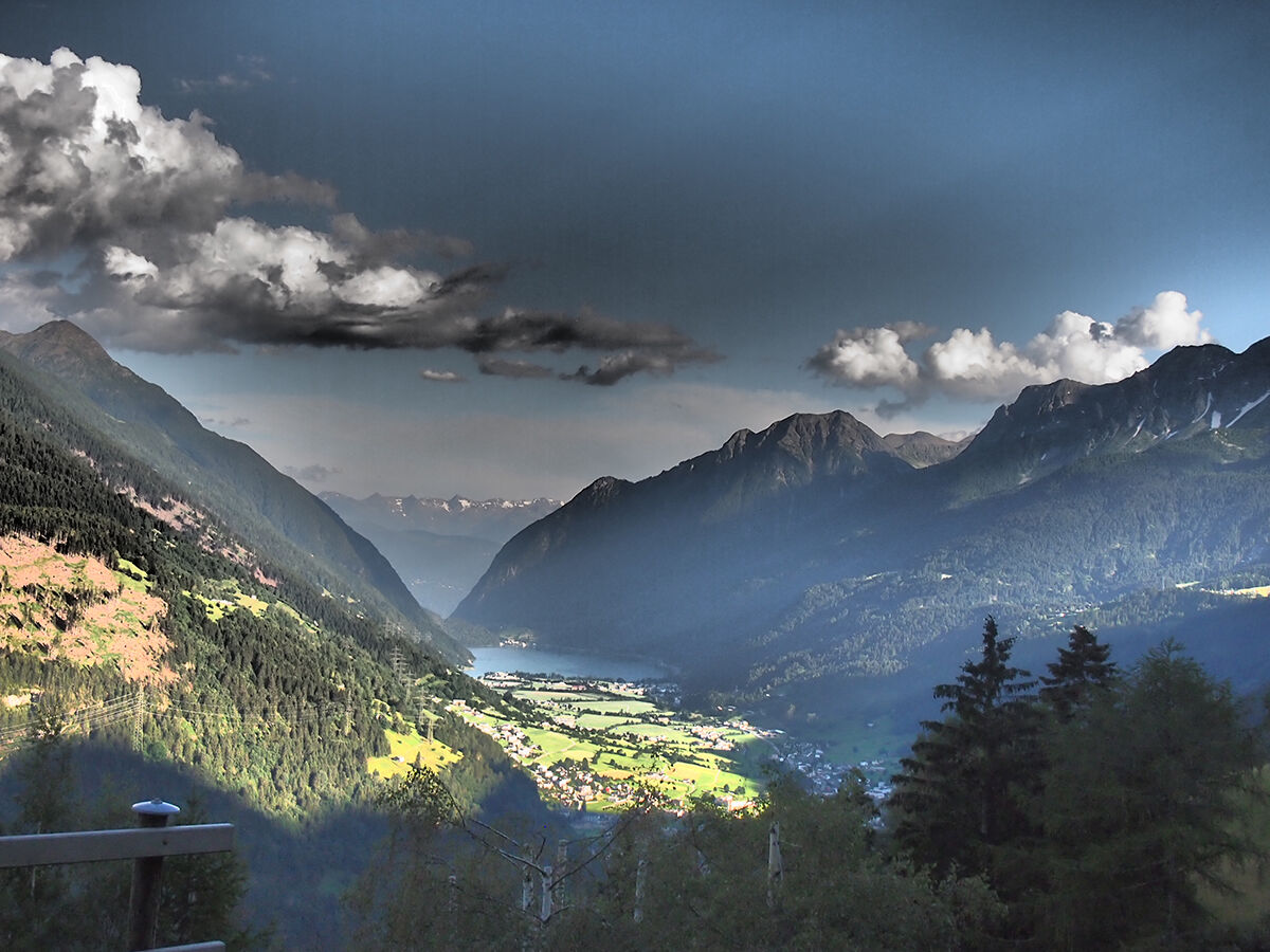
The high alpine Bernina Trek from Madulain through the Albula region to Poschiavo is one of the most impressive long-distance hikes in the Canton of Grisons.
- Difficulty
-
difficult
- Rating
-
- Starting point
-
Madulain
- Route
-
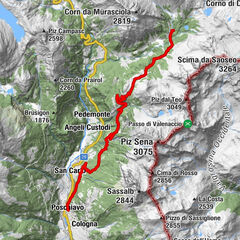
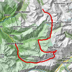
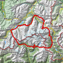
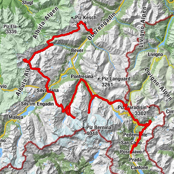
Madulain (1,697 m)Chamanna d'Es-cha5.8 kmFuorcla Gualdauna (2,494 m)8.4 kmFuorcla Crap Alv18.4 kmChamanna Jenatsch (2,651 m)29.5 kmFuorcla Suvretta (2,966 m)34.1 kmSilvaplana (1,815 m)43.8 kmSurlej44.9 kmSilvaplana Surlej (1,877 m)45.7 kmMurtèl46.9 kmFuorcla Surlej50.7 kmChamanna da Tschierva (2,583 m)59.8 kmPontresina (1,805 m)71.4 kmSurovas (1,822 m)71.8 kmBoval-Hütte (2,495 m)81.4 kmMorteratsch (1,896 m)86.4 kmCascata da Bernina86.9 kmFuorcla Minor (2,435 m)96.5 kmLa Rösa (1,871 m)102.6 kmSaoseo-Hütte109.7 kmAurafreida113.7 kmUrezza118.5 kmSan Carlo121.9 kmSomaino121.9 kmMulinel122.5 kmReformierte Kirche Poschiavo123.7 kmPoschiavo (1,014 m)123.7 km
- Best season
-
JanFebMarAprMayJunJulAugSepOctNovDec
- Description
-
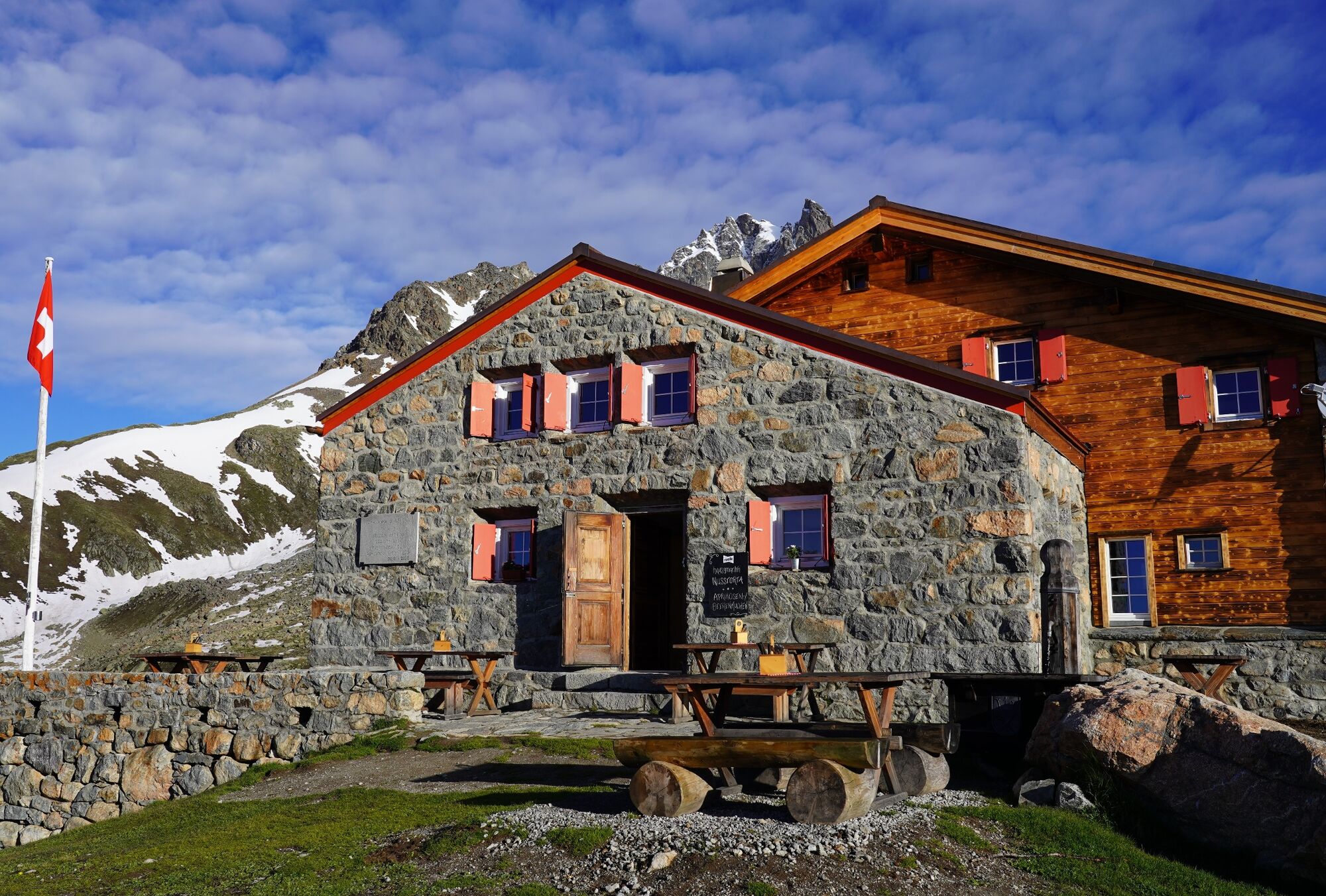
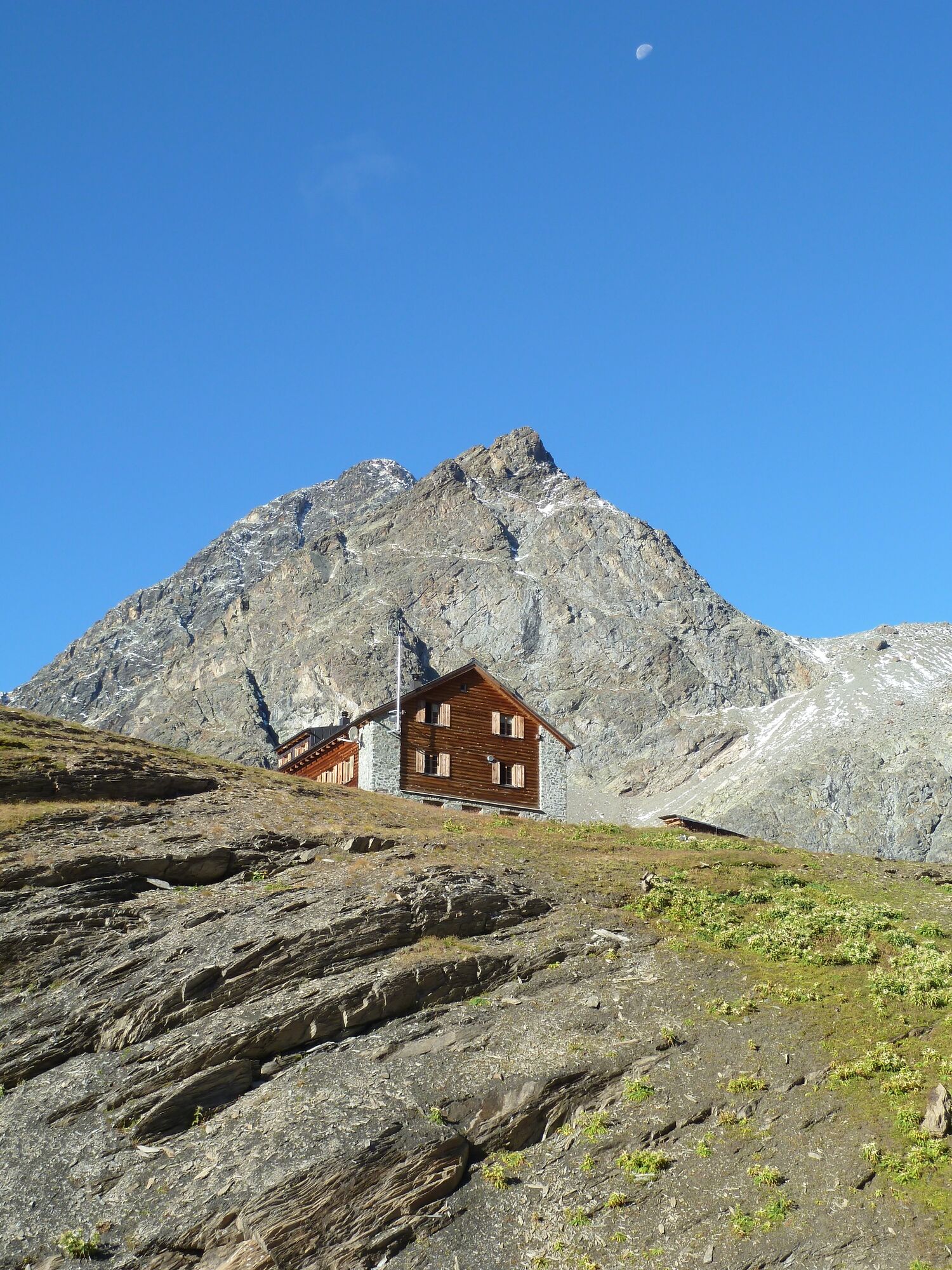
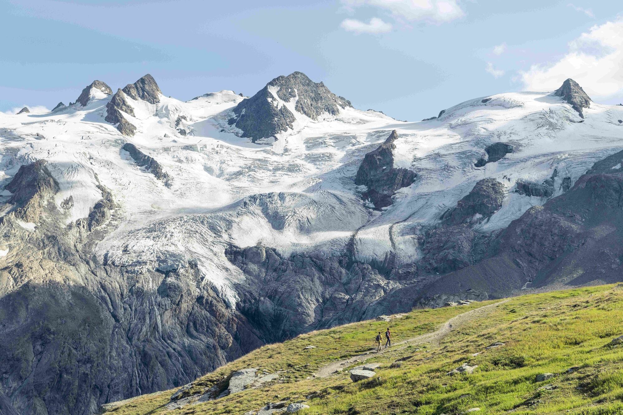
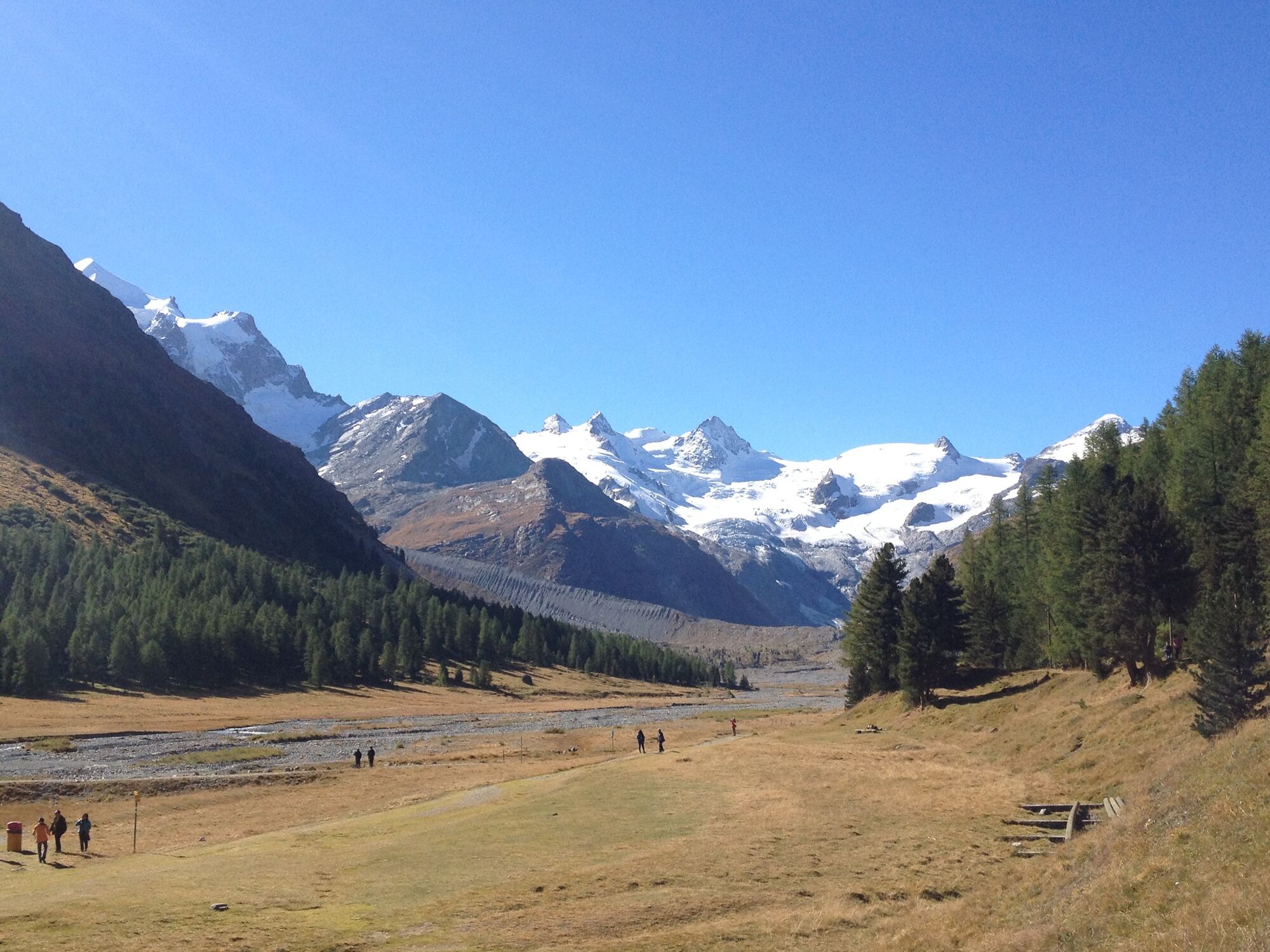
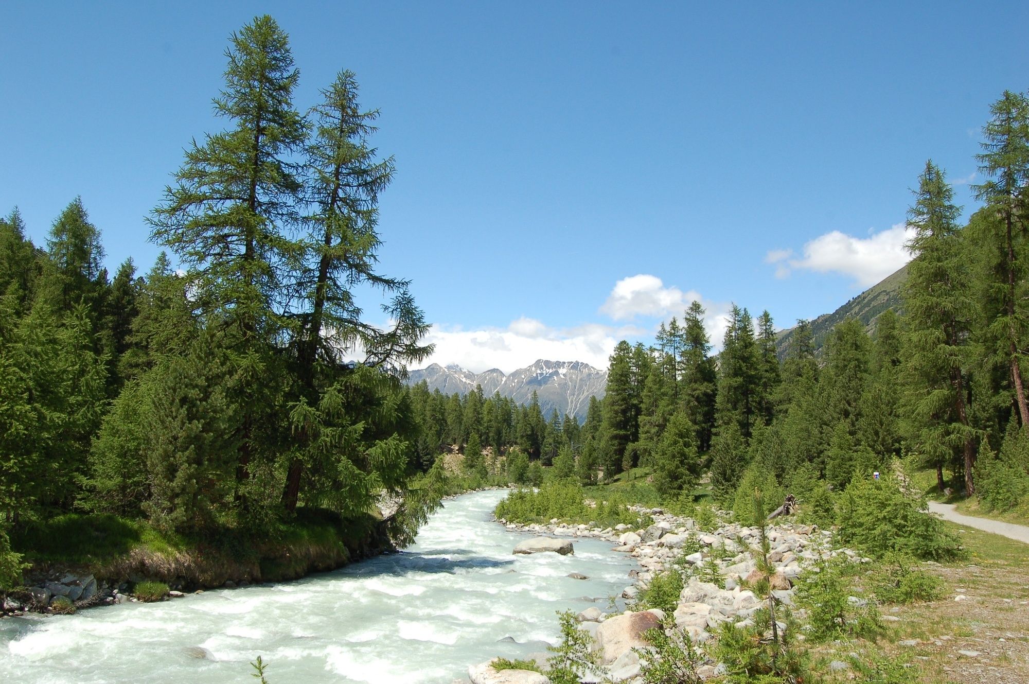
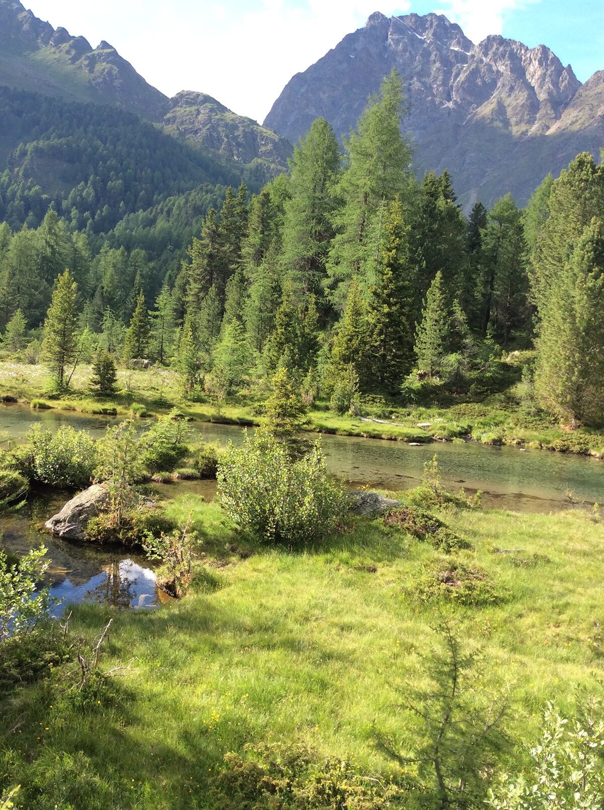
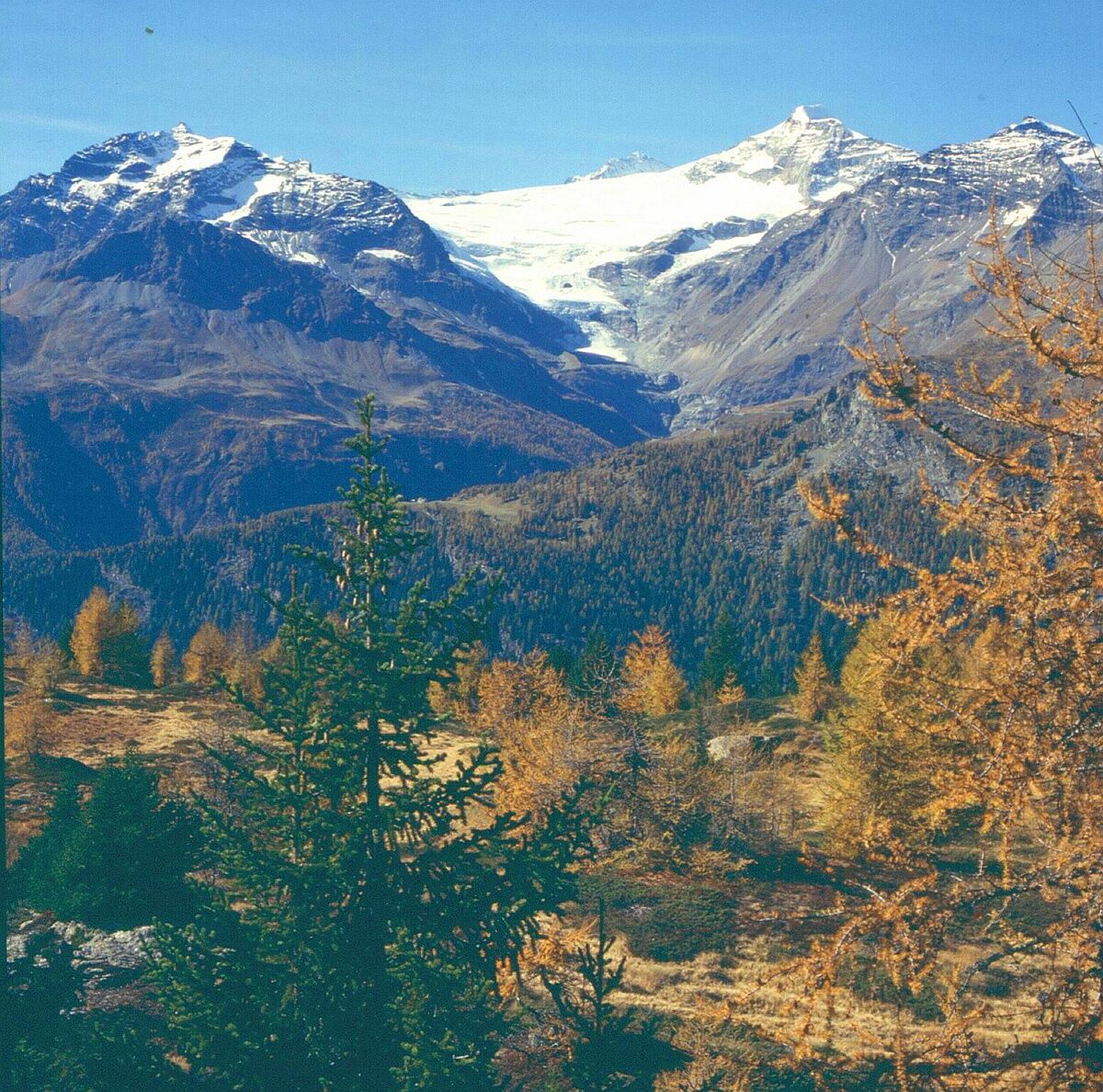
This long-distance hike of the Swiss Alpine Club (SAC) not only passes by all mountain huts of the SAC Bernina, but also leads through a stunning alpine world: from the Albula valley with Piz Kesch and the UNESCO World Heritage line of the Rhaetian Railway; into the sublime Julier region with its impressive geological rock formations; through the Bernina region with the proud summits of Piz Palü, Piz Moteratsch and Piz Bernina; and finally to the unique Italianità of the lovely Poschiavo.
What makes the Bernina Trek the perfect hiking trip for all ages, is his variability, as its offers options for leisure, sporty and 'alpine junkie' hikers: The "Classic" route takes you through magnificent alpine scenery, along deep blue mountain lakes, icy glacial streams and snow-capped peaks over seven days. Those who seek and/or need more thrills should choose the "Summiteer" option that adds several peak experiences to the route. However, families with kids as well as groups with hikers of different fitness levels will certainly enjoy the beautiful mountain world while hiking the „Pachific“ route.
More information
Engadin Tourismus AG
Via Maistra 1
CH-7500 St. Moritz
Phone: +41 81 830 00 01
E-mail: allegra@engadin.ch
Internet: www.engadin.chBooking
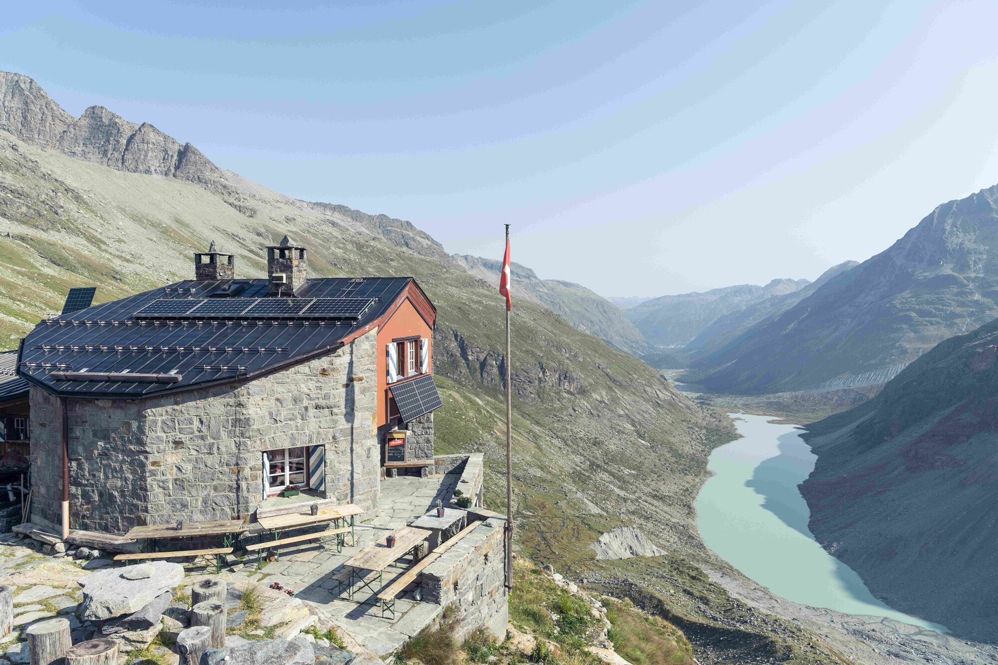
Chamanna Coaz
Phone: +41 81 842 62 78
E-mail: info@coaz.ch
Internet: bernina-trek.ch (in German only) - Directions
-
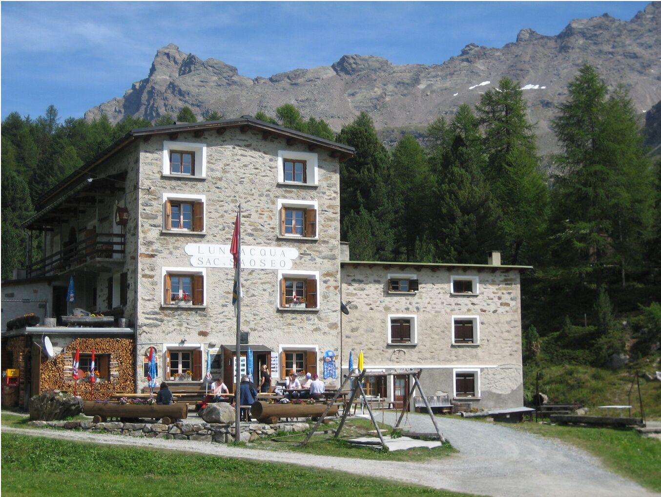
Madulain - Chamanna d'Es-cha - Albula pass - Fuorcla Crap Alv - Val Bever - Chamanna Jenatsch - Suvretta pass - Suvretta da San Murezzan - Silvaplana - Surlej - Corvatsch cable car - Murtèl - Fuorcla Surlej - Chamanna Coaz - Lej da Vadret - Chamanna da Tschierva - Val Roseg - Pontresina - Morteratsch - Chamanna da Boval (closed summer 23 due to reconstruction) - Morteratsch - Bernina Suot - Bernina Diavolezza - Val Minor - Fuorcla Minor - Plan da li Tegi - La Rösa - Val da Camp - Rifugio Saoseo - Plan - Aurafreida - Urezza - Poschiavo
- Highest point
- 2,959 m
- Endpoint
-
Poschiavo
- Height profile
-
 © outdooractive.com
 - Equipment
-
Hiking/trekking shoes with high traction rubber soles; trekking poles; weatherproof clothing (rain trousers, jacket and cover); all-weather clothes for a tour of up to 7 days; personal documents (IDs) and cash; small first-aid kit (poss. Ohropax); sleeping bag; camera (if needed); pocketknife; map and GPS tracker; mobile phone; sun protection; head lamp; gaiters, cap and gloves (depending on the season); provisions for a day with energy bars (can be purchased in the valley or in the mountain huts); at least 1.5 L of drinking water; some rope (if needed)
This equipment list is mainly a guide for packing and is not exhaustive. We recommend focusing on the most important things when planning a multi-day tour from mountain hut to mountain hut. The stages cover long distances so the heavier your backpack is, the slower you will be and the more tired you will get. The equipment should fit your individual needs as well as the weather and the duration of the trek.
- Safety instructions
-
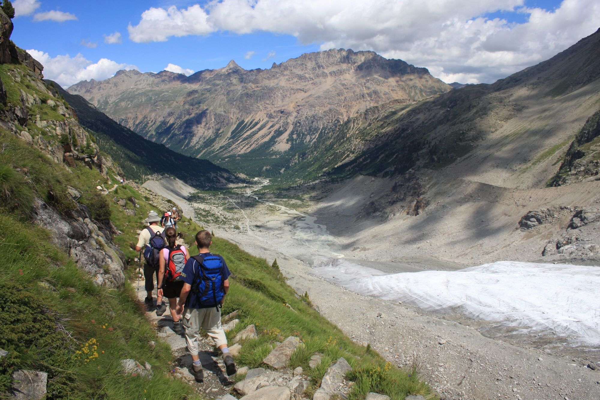
The trails which are located at around 2'900 metres above sea level, are both field and high alpine mountain paths. They are marked "red-white-red" according to the standards of the Swiss Hiking Trails Association with yellow signposts as direction signs. For trips of up to 9 hours and up to 1'650 metres of elevation gain, a good fitness level is required as well as surefootedness and a head for heights.
In short: the Bernina Trek classic is a moderately challenging trek (mostly T2) and hikers should be in good/excellent physical condition.
- Tips
-
The multi-day hike passes by many sights, for example ...
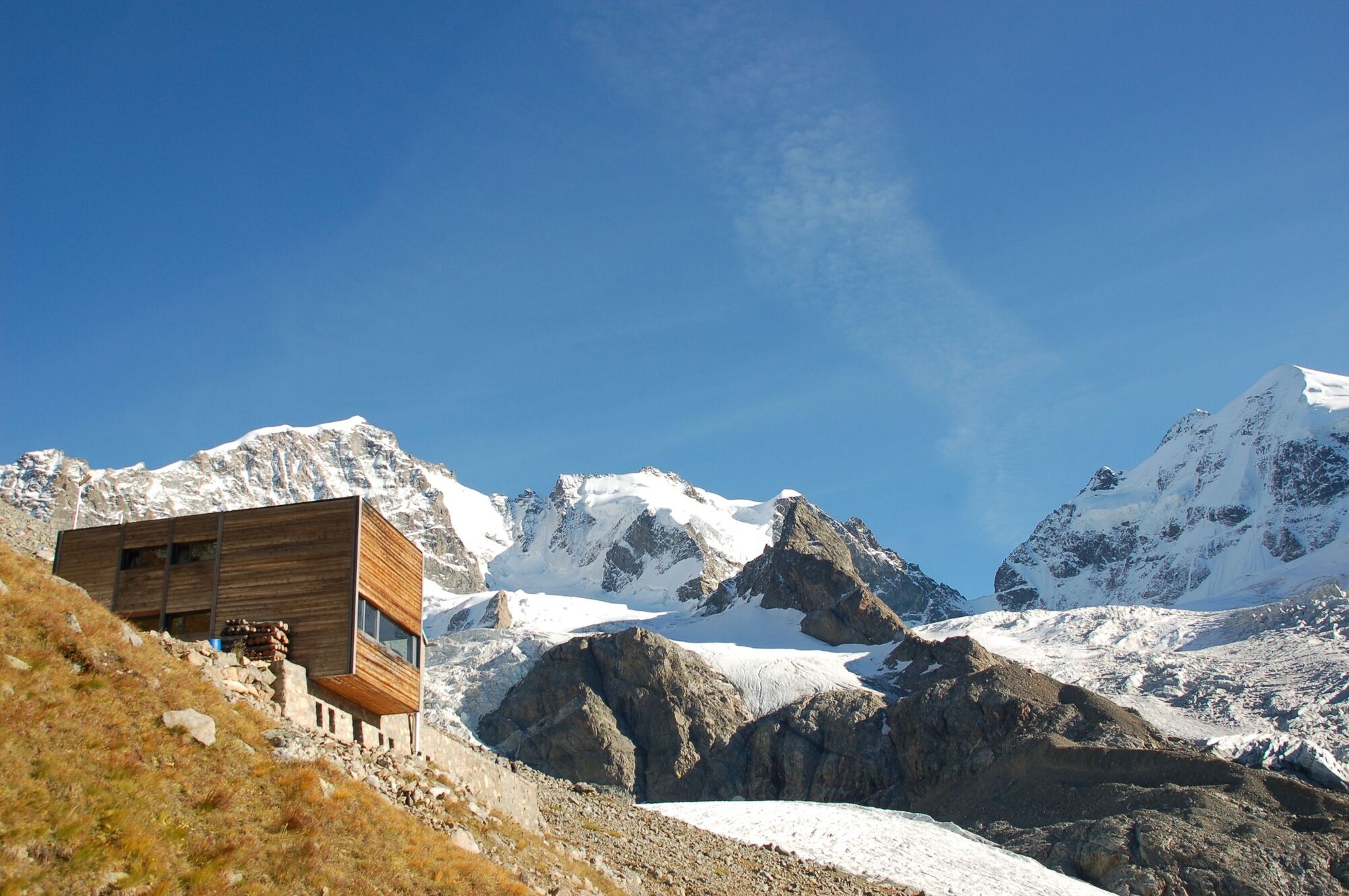
... the Chamanna d’Es-cha with the oldest stucco ceiling in a SAC-mountain hut (dating back to 1934)
... the Julier region (Chamanna Jenatsch) with its impressive geology ... the Upper Engadin lakescape
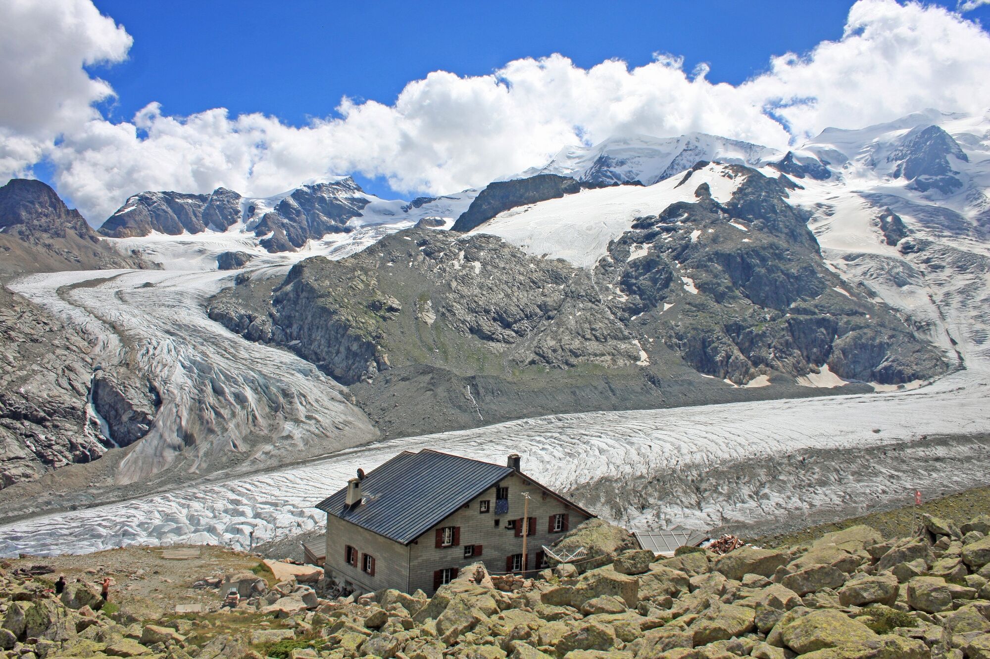
... the (almost) omnipresent panoramic view of the Bernina region with the prominent peaks of Piz Palü and Piz Bernina incl. the world-famous Bianco ridge
... the sixth stage of the trek (from Pontresina to Lagalb) which is travelled by the Rhaetian Railway via its UNESCO World Heritage line
... the lovely and warm Puschlav with its unique Italianità and inviting piazzas
- Additional information
-
As there is often still a lot of snow at the beginning of June and most SAC huts are no longer staffed at the end of October, the best time to complete the Bernina Trek is from the end of June to the beginning of October.
- Public transportation
-
There are good train connections from all over Switzerland via Chur to the Engadin and to the starting point in Madulain. In the Engadin the public transport network is excellent and can bring hikers to the starting point of some stages or shorten some stages.
- Parking
-
Long-term parking is available in Pontresina and St. Moritz, from where you can take public transport (Engadinbus and/or RhB) to the start of the stage. However, it is not recommended to travel by private car.


- Author
-
The tour Bernina Trek classic (7 stages) is used by outdooractive.com provided.


General info
-
Veltlin / Valtellina
852
-
Engadin St. Moritz
782
-
Pontresina
317