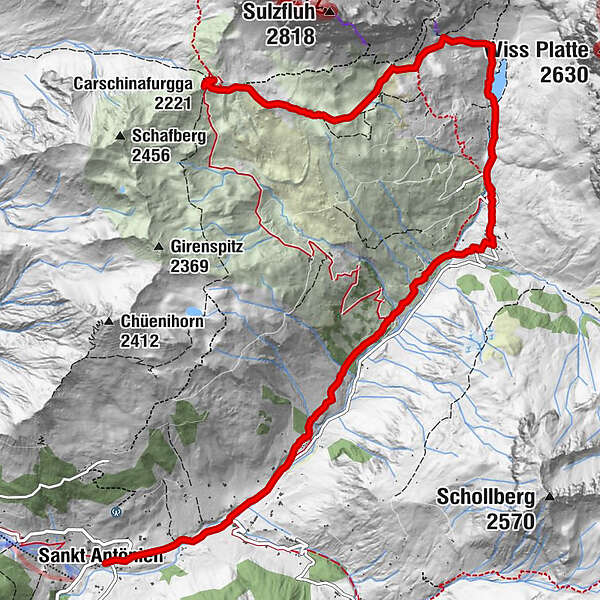
35.22 Walserweg Graubünden Etappe 22: St. Antönien Platz - Carschinahütte

long-distance walking trail
© Irene Schuler - Nicole Kayser
© Irene Schuler - Nicole Kayser
© Irene Schuler - Nicole Kayser
© Irene Schuler - Nicole Kayser
© Irene Schuler - Nicole Kayser
- Brief description
-
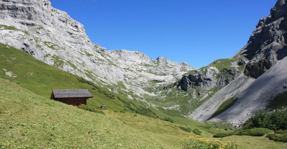
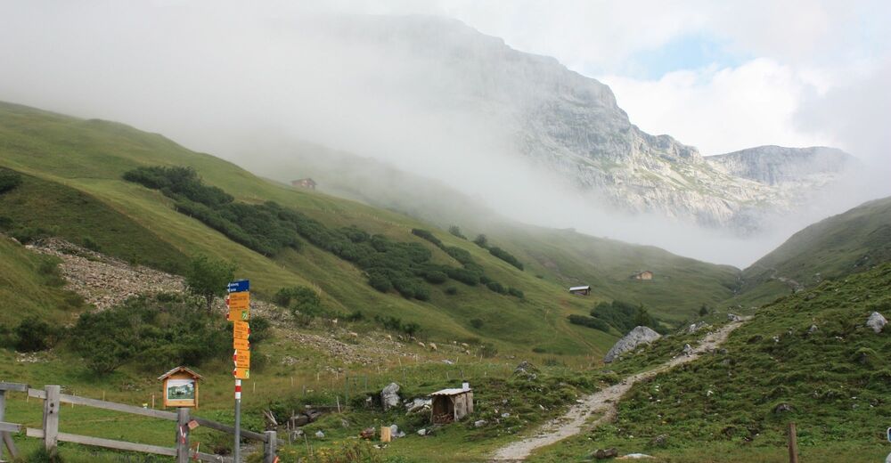
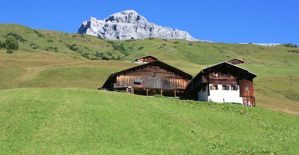
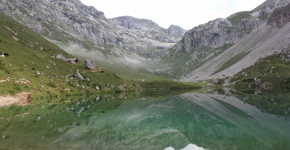
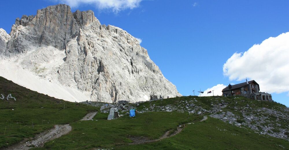
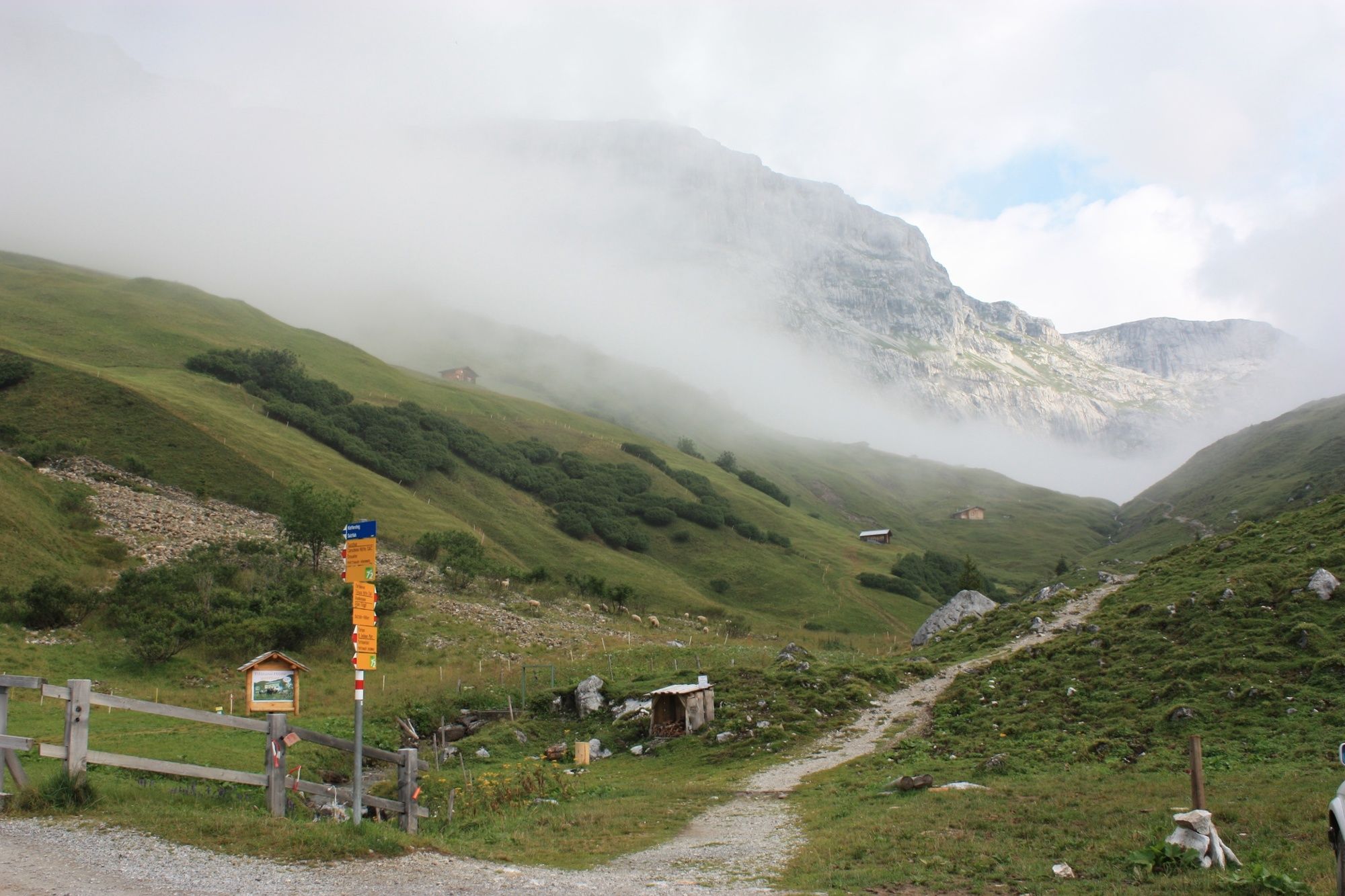
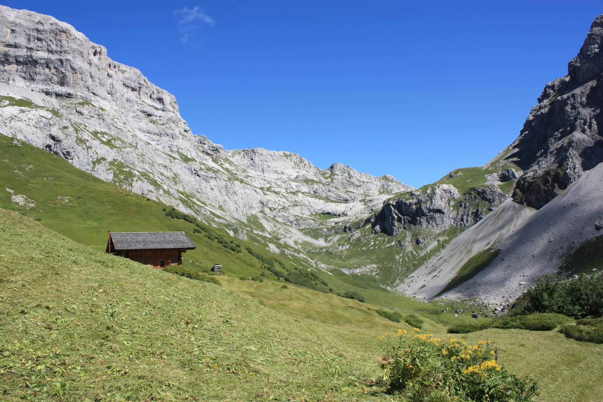
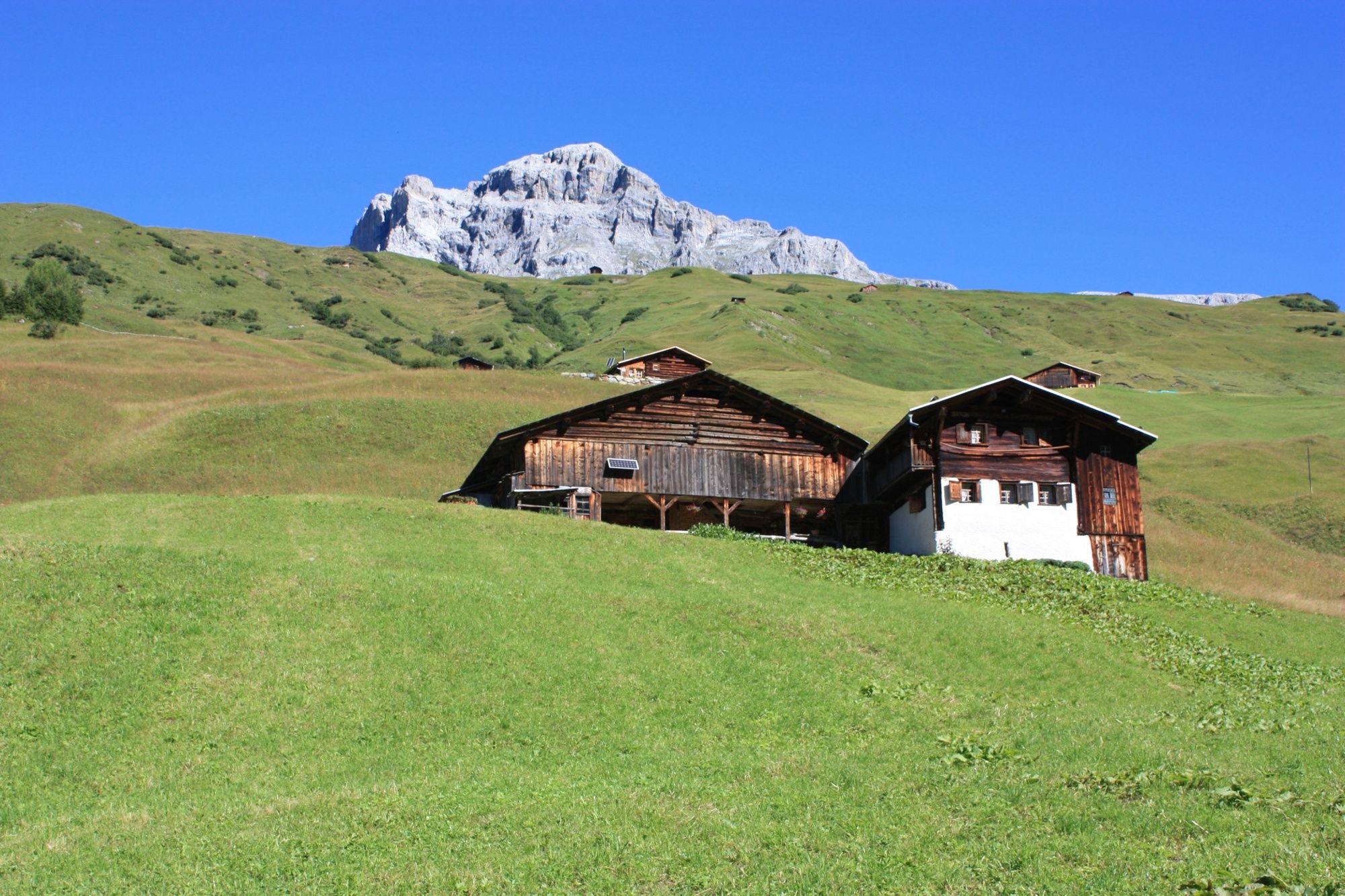
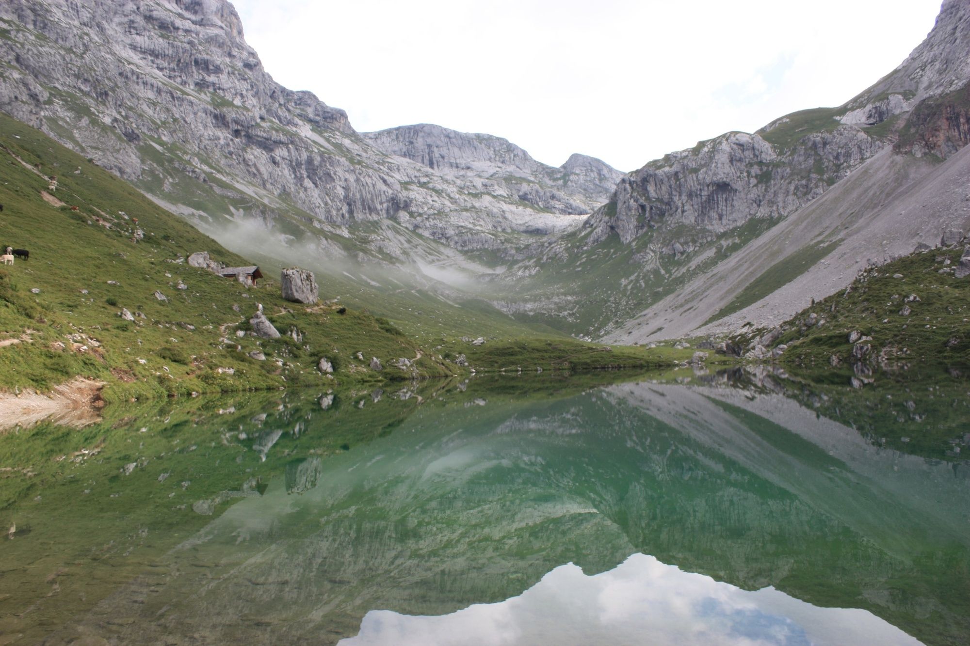
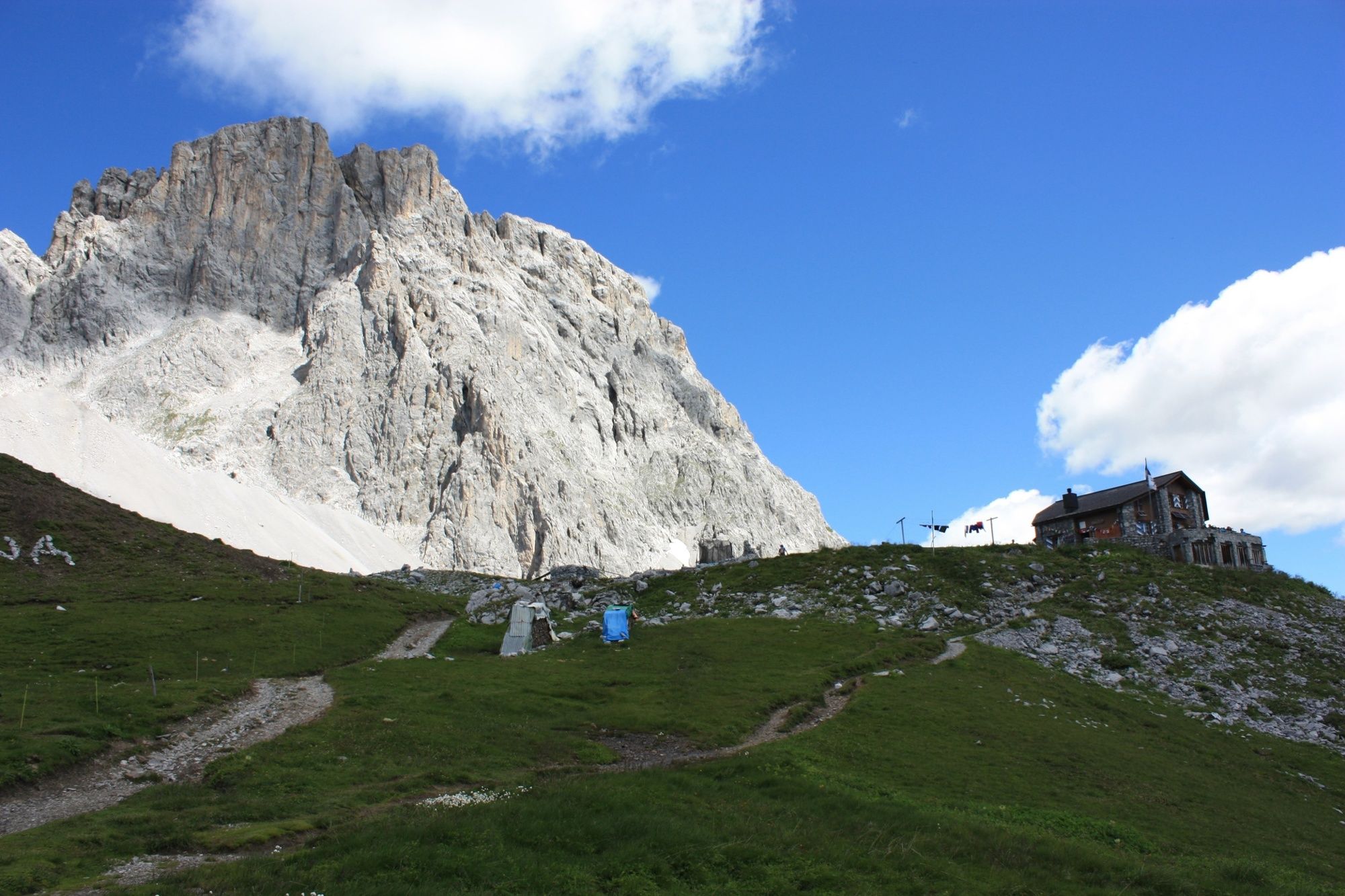
Mitten im Rätikon.
- Difficulty
-
medium
- Rating
-
- Route
-
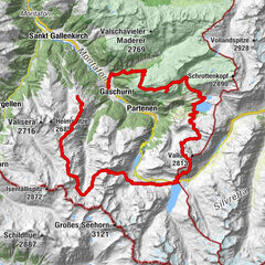
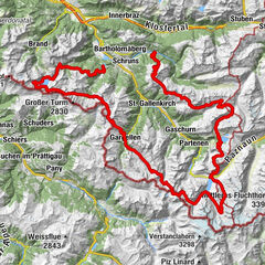
Hotel Restaurant RhätiaSankt Antönien (1,459 m)Reformierte Kirche St. AntönienPlatz (1,420 m)0.0 kmHotel-Restaurant Madrisajoch0.0 kmMarschall0.2 kmMeierhof0.4 kmLitzirüti1.1 kmPartnun5.0 kmAlpenrösli5.3 kmCarschinafurgga (2,221 m)9.9 km
- Best season
-
JanFebMarAprMayJunJulAugSepOctNovDec
- Highest point
- 2,225 m
- Endpoint
-
Carschinahütte
- Height profile
-
 © outdooractive.com
- Author
-
The tour 35.22 Walserweg Graubünden Etappe 22: St. Antönien Platz - Carschinahütte is used by outdooractive.com provided.
GPS Downloads


General info
Refreshment stop
Cultural/Historical
A lot of view
Other tours in the regions
-
Montafon
1380
-
St. Antönien
307