© Club Vosgien - Yamina Benali
© Club Vosgien - Yamina Benali

© Club Vosgien - Yamina Benali

© Club Vosgien - Yamina Benali

© Club Vosgien - Yamina Benali
- Brief description
-
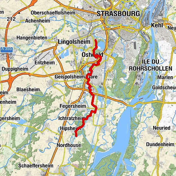
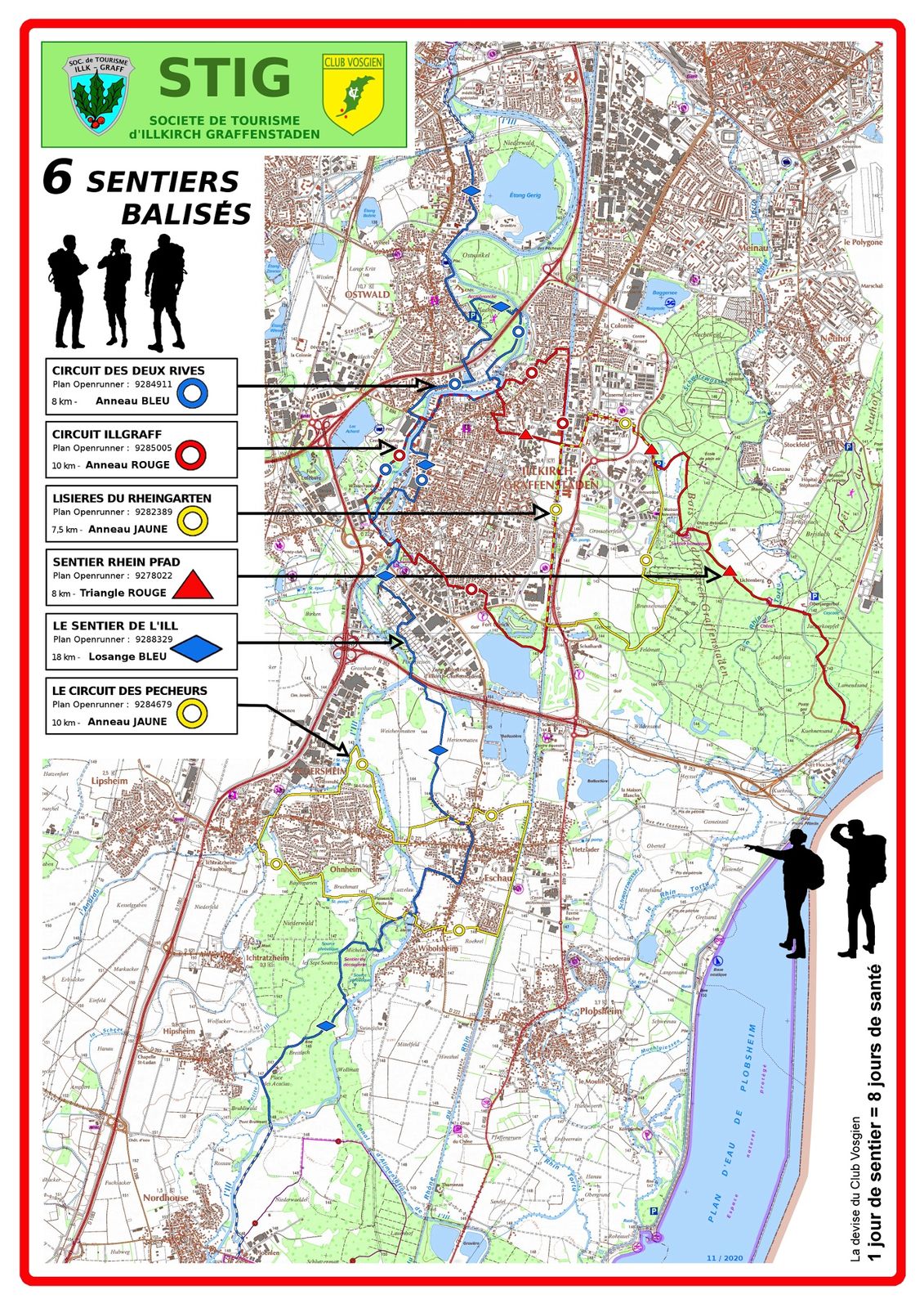
Tronçon de 18 km d’un sentier alsacien menant de Mulhouse à Strasbourg qui se parcourt en 5h environ.
Le départ peut donc se faire côté Nord ou côté Sud (voir détails sous chapitres Point de départ/arrivée).
- Difficulty
-
medium
- Rating
-
- Route
-
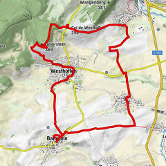
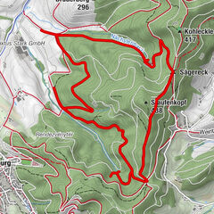
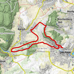
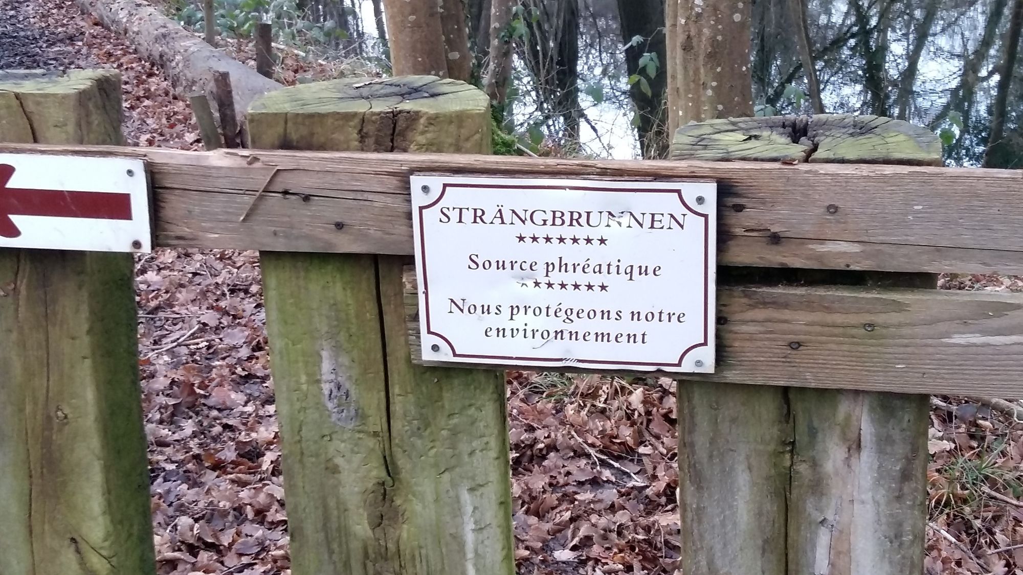
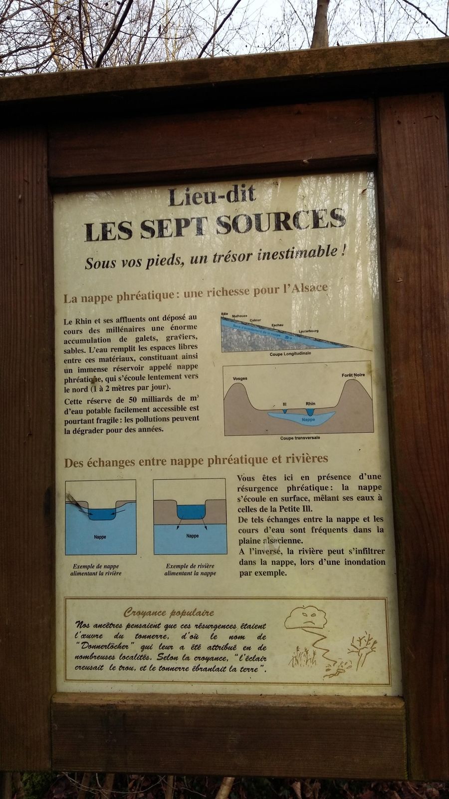
StraßburgOstwald1.9 kmIllkirch-Grafenstaden5.4 kmAllmendtagen7.5 kmWeichmatten10.8 kmÉglise Sainte-Trophime12.1 kmà l'Etoile12.5 kmEschau12.7 kmGrossau14.1 kmStrengbrunnen15.0 km
- Best season
-
JanFebMarAprMayJunJulAugSepOctNovDec
- Highest point
- 146 m
- Endpoint
-
Côté Sud : pont sur l’Ill dit « pont Bruckmatt » à la limite des bans de Hipsheim et Nordhouse.
- Height profile
-
 © outdooractive.com
-

-
AuthorThe tour Sentier de l’Ill Ostwal-Illkirch-Eschau-Hipsheim is used by outdooractive.com provided.
GPS Downloads


General info
Refreshment stop
Healthy climate
Cultural/Historical
Flora
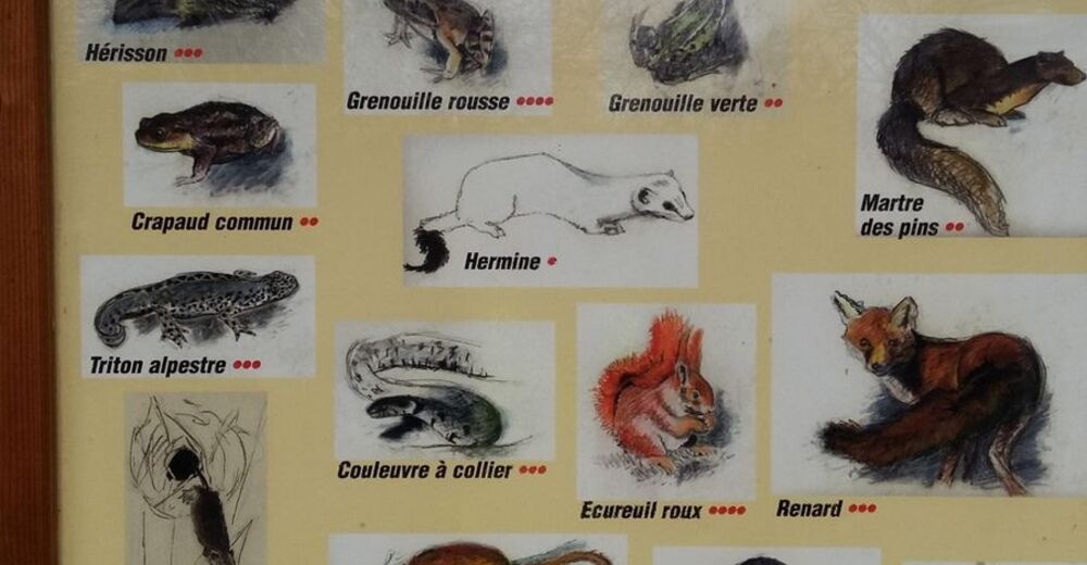
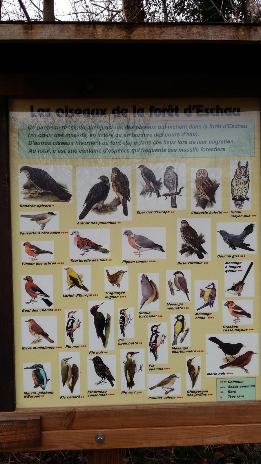
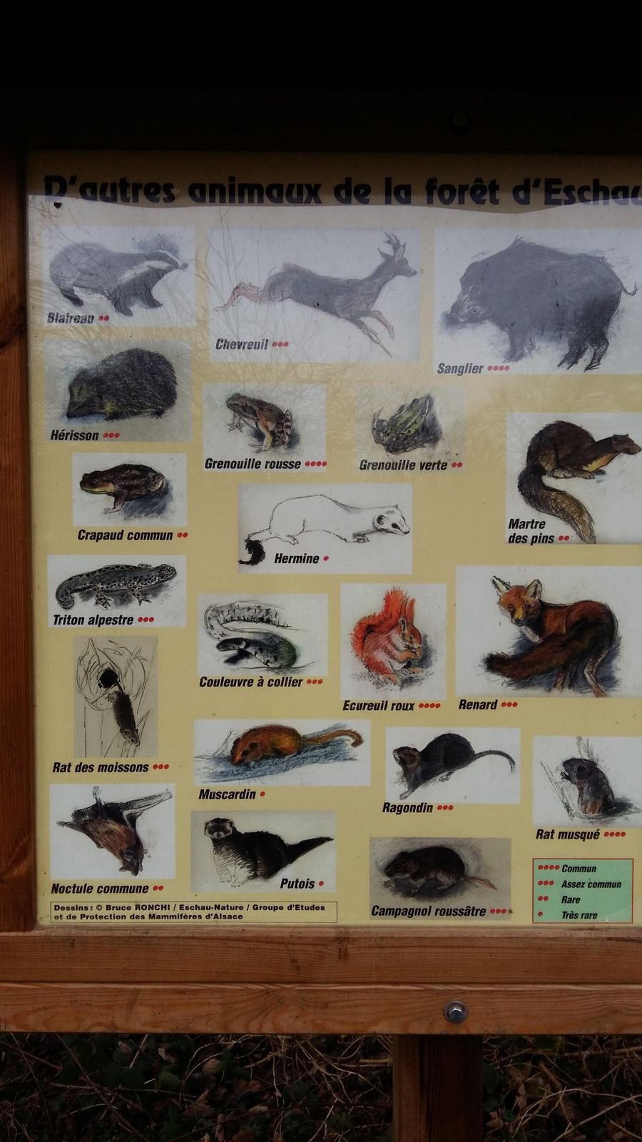
Fauna
A lot of view
Other tours in the regions