© Club Vosgien - Pierre Schang

© Club Vosgien - Pierre Schang

© Club Vosgien - Pierre Schang

© Club Vosgien - Pierre Schang
- Brief description
-
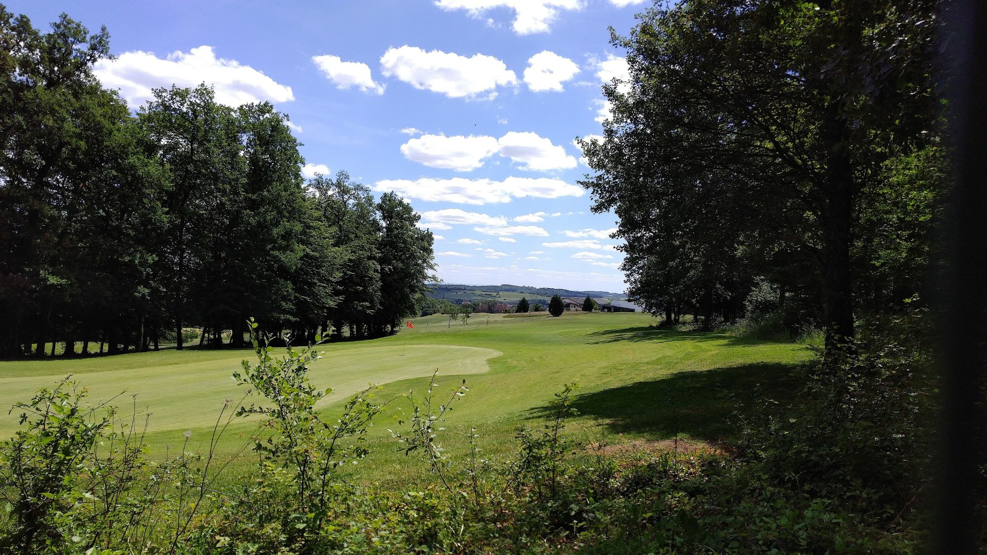
Entdecken Sie den Golfplatz Faulquemont-Pontpierre
- Difficulty
-
medium
- Rating
-
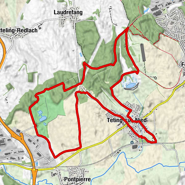
- Route
-
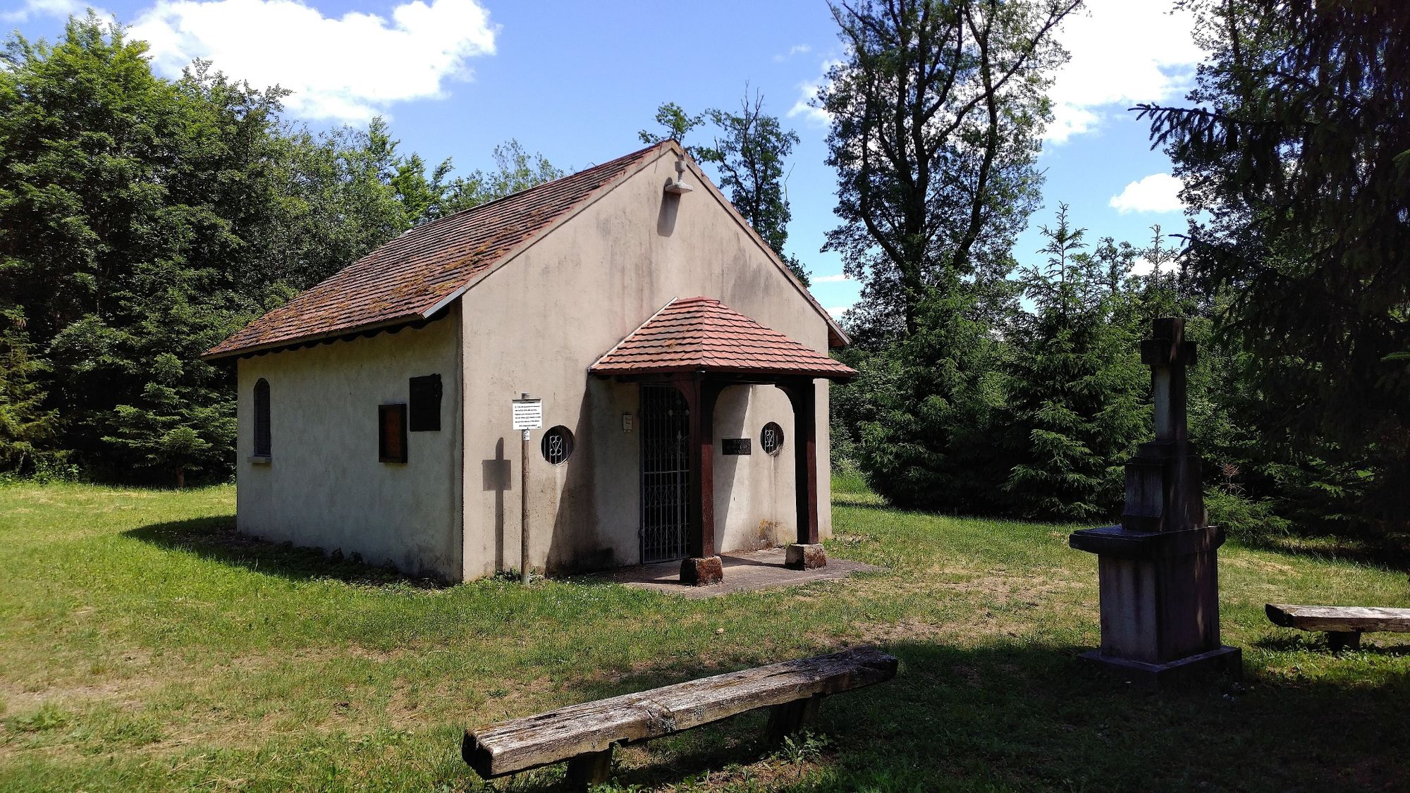
Chapelle de Pontpierre1.6 kmChapelle de la Trinité9.6 kmTetingen10.7 kmÉglise Saint-Denis10.9 kmLes Hauts de Téting12.2 km
- Highest point
- 349 m
- Endpoint
-
Parkplatz vom Golf
- Height profile
-
 © outdooractive.com
-

-
AuthorThe tour Rundweg um den Golfplatz is used by outdooractive.com provided.
GPS Downloads


General info
Refreshment stop
Healthy climate
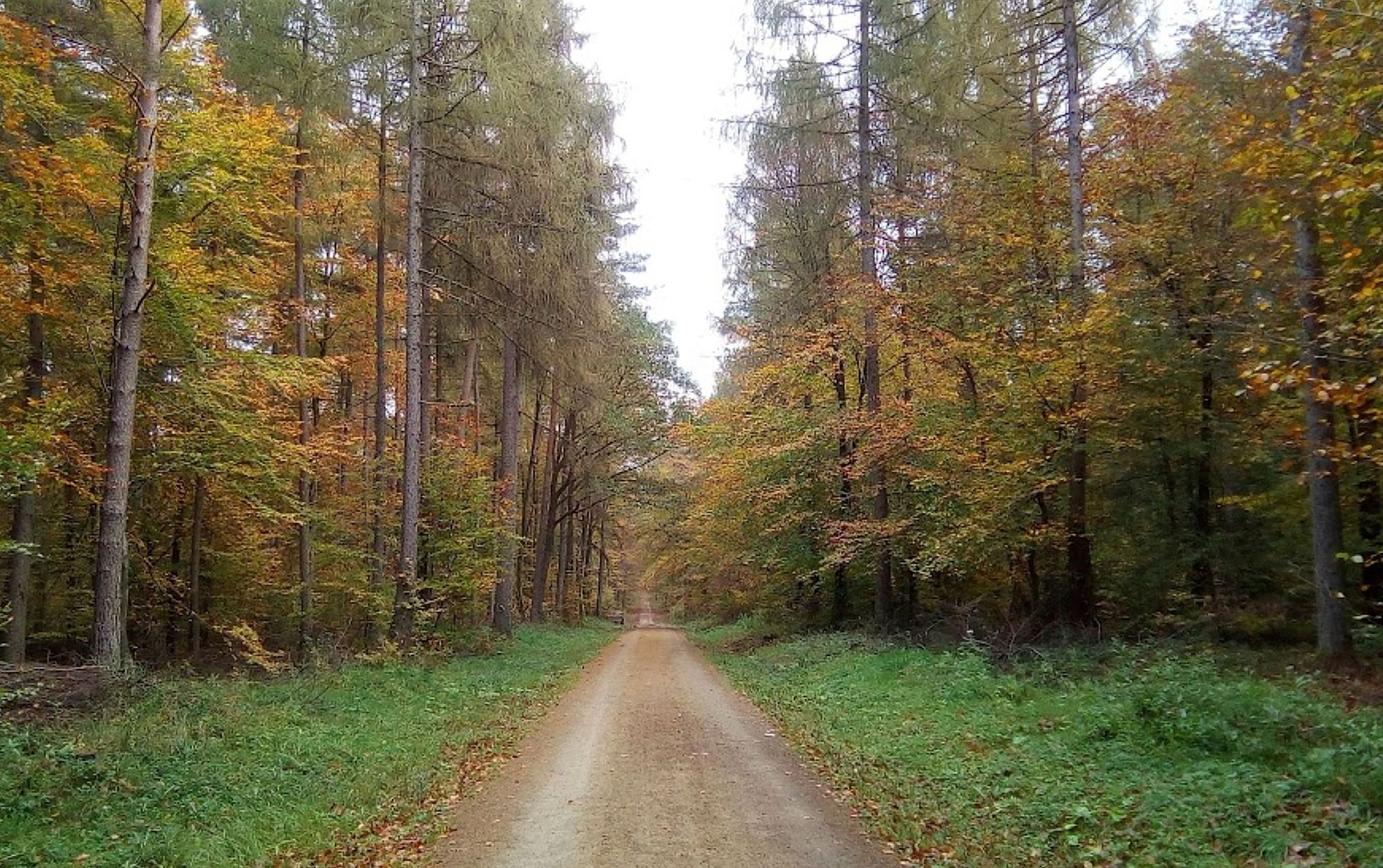
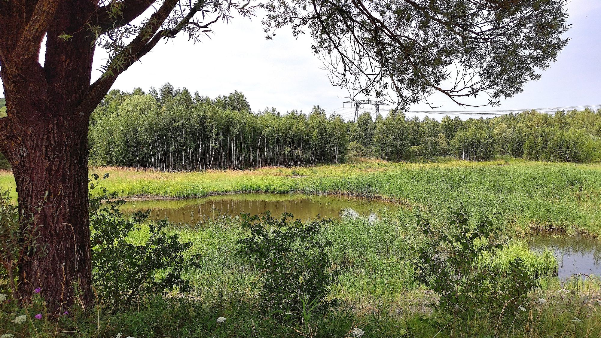
Flora
Fauna
A lot of view
Other tours in the regions
-
Moselle
244