© Club Vosgien - Emile Braun

© Club Vosgien - Emile Braun

© Club Vosgien - Emile Braun

© Club Vosgien - Emile Braun

© Club Vosgien - Emile Braun

© Club Vosgien - Emile Braun

© Club Vosgien - Emile Braun

© Club Vosgien - Emile Braun

© Club Vosgien - Emile Braun

© Club Vosgien - Emile Braun
- Brief description
-
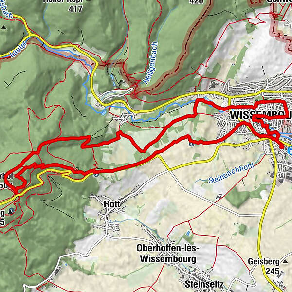
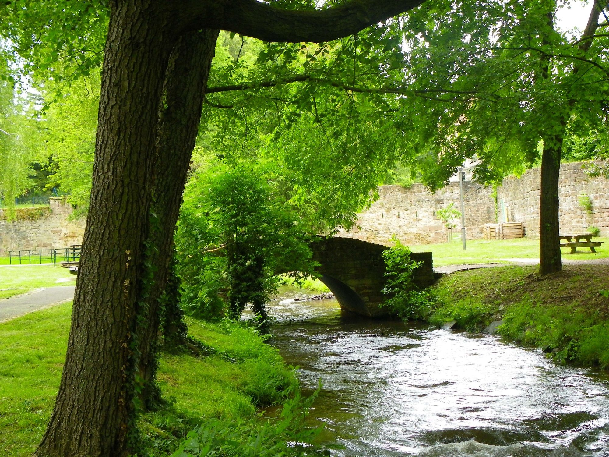
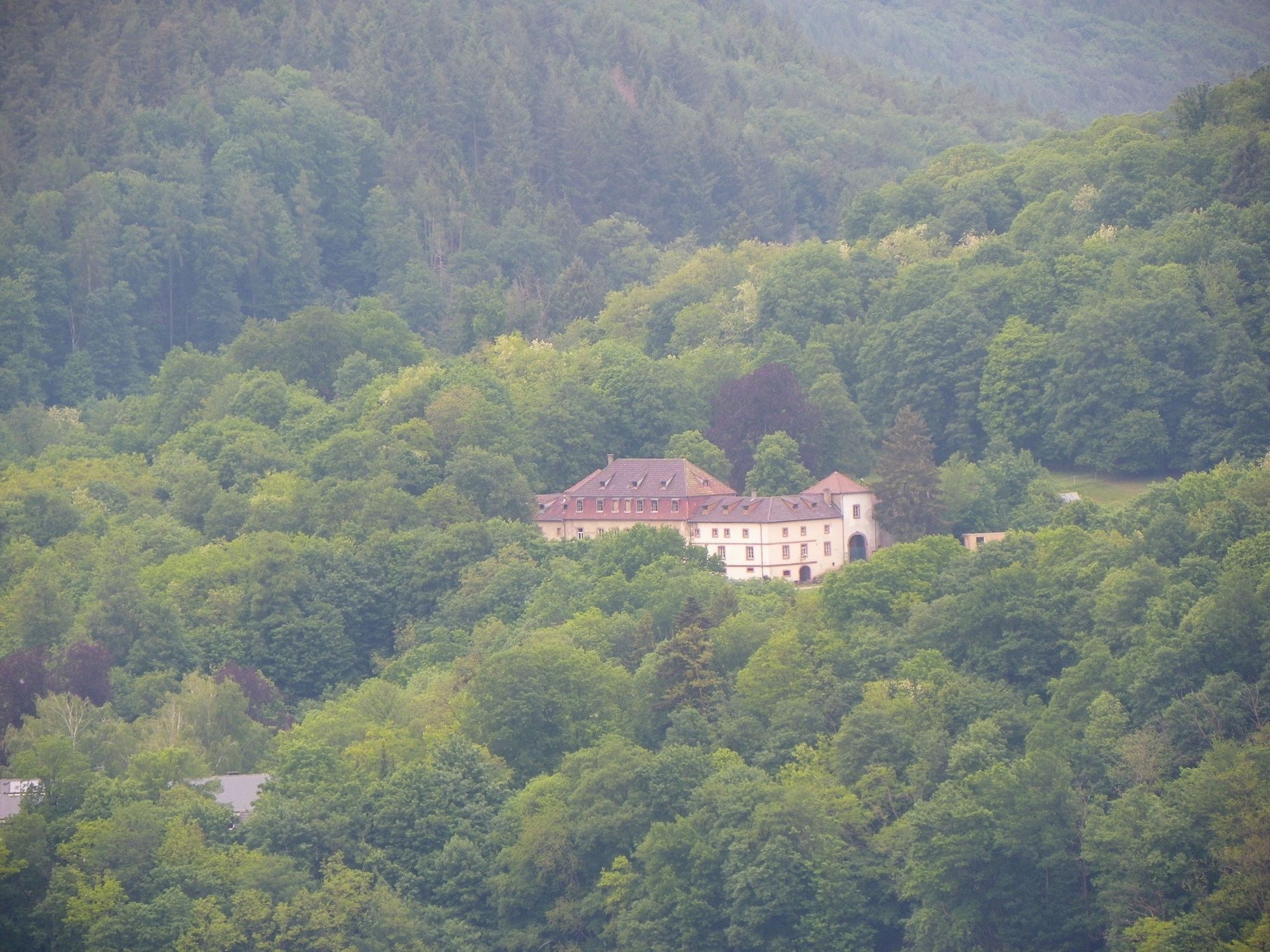
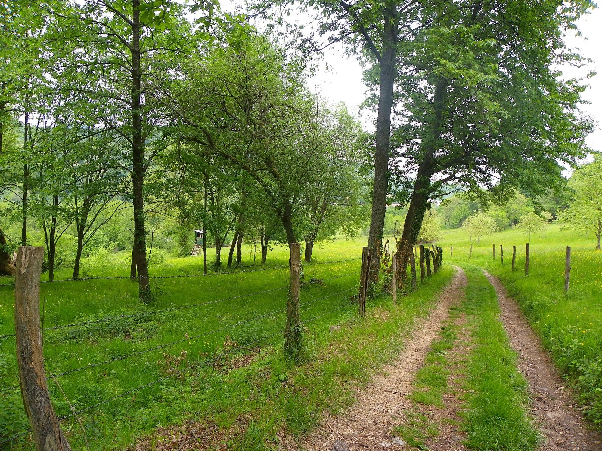
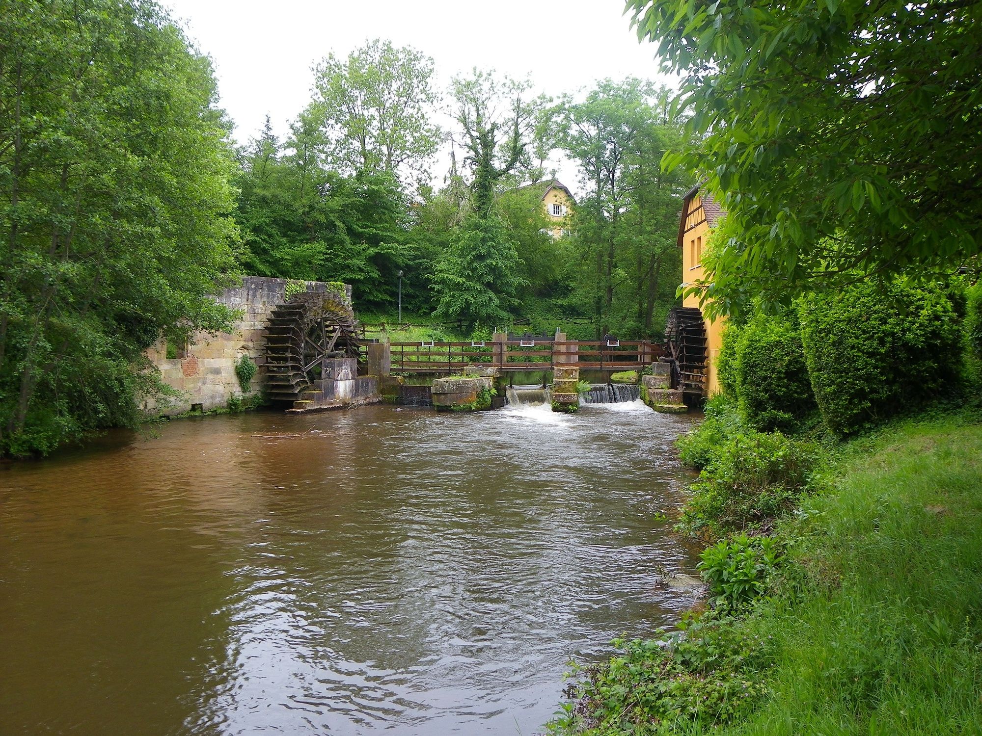
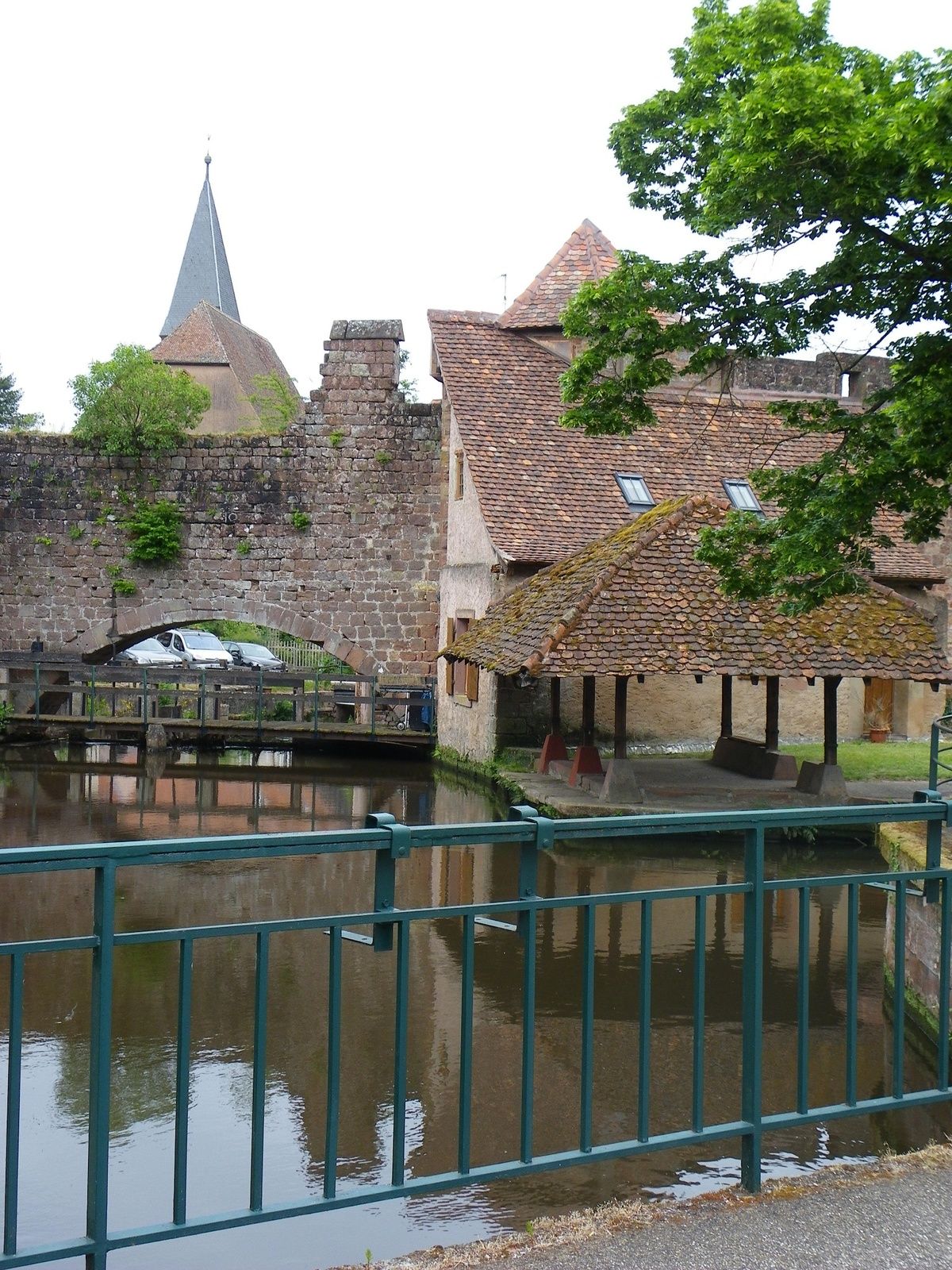
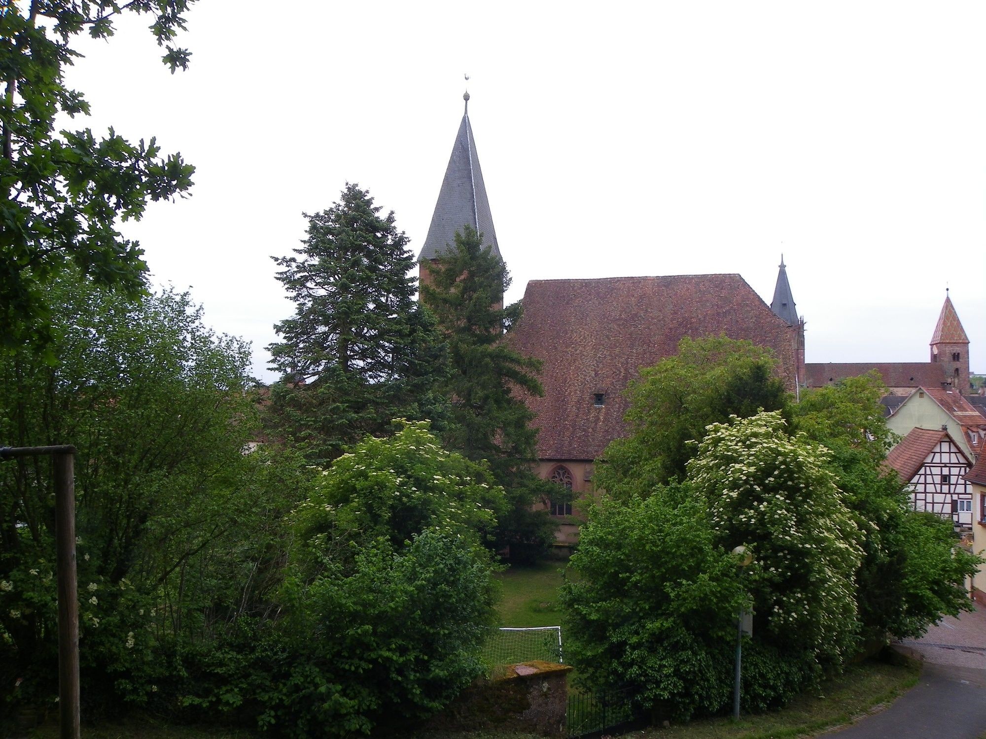
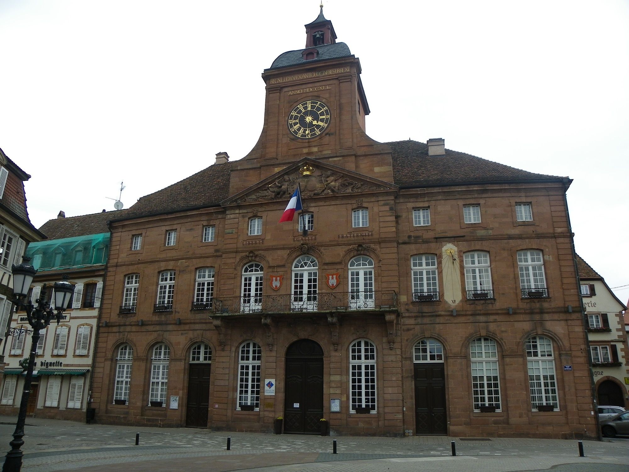
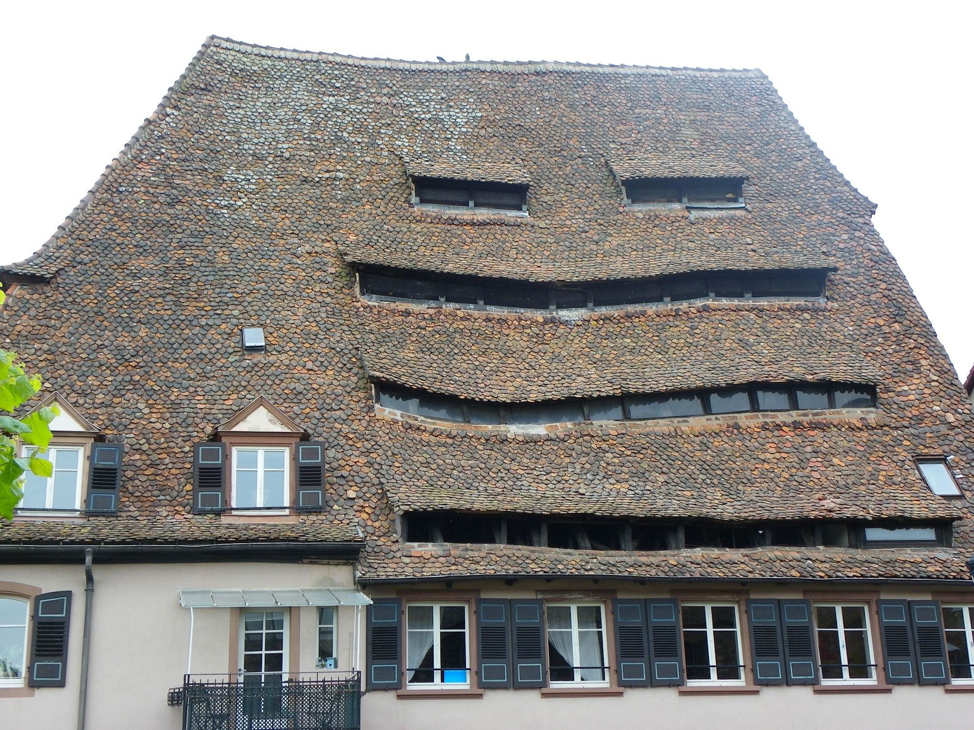
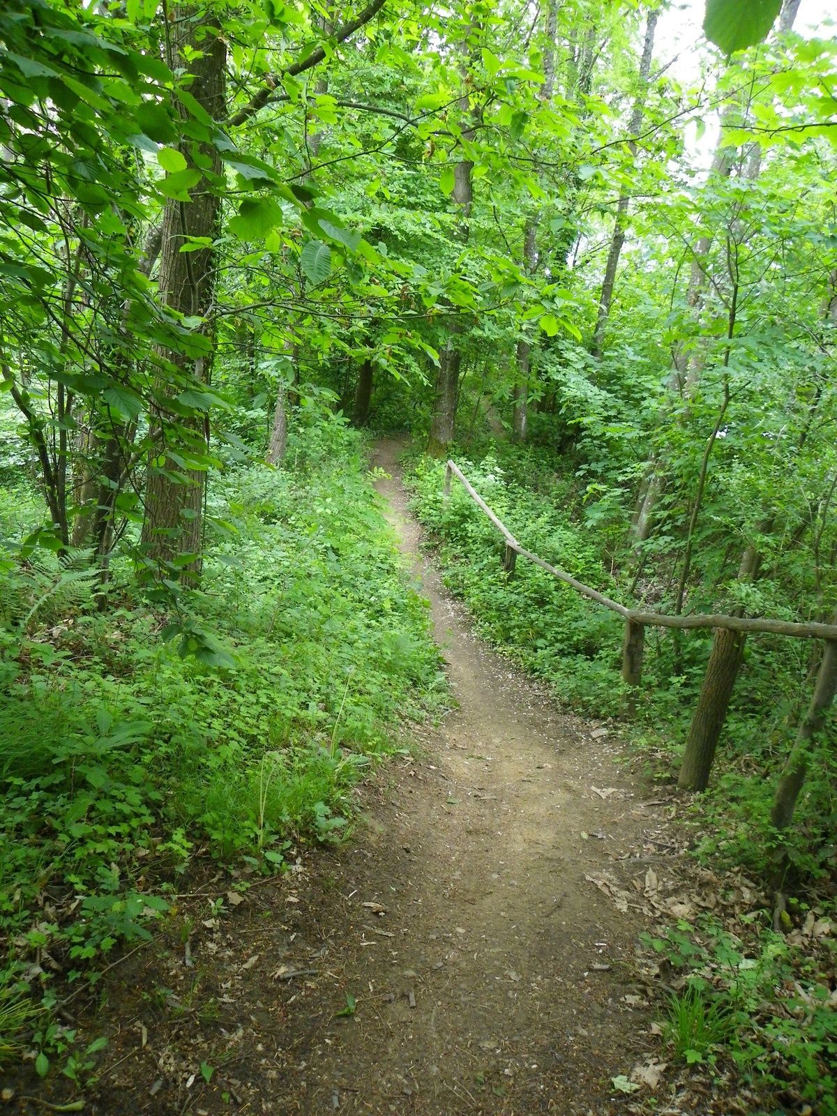
Herrliche Wanderung um und in der Stadt Wissembourg, die einen, zu Beginn des 20. Jahrhunderts symbolischen Weg zum Scherhol nimmt.
Zurück den Hang hinunter in Richtung Lauter-Tal.
- Difficulty
-
medium
- Rating
-
- Route
-
Weißenburg0.4 kmScherhol (492 m)5.4 kmScherhol (507 m)5.6 kmRefuge de Pigeonnier6.2 kmCol du Birkenthal (431 m)7.3 kmBrunnestub Bauchbronn11.0 kmWeißenburg13.6 kmAbteikirche Sankt Peter und Sankt Paul13.8 kmLe Schlupf14.2 km
- Best season
-
JanFebMarAprMayJunJulAugSepOctNovDec
- Highest point
- 500 m
- Endpoint
-
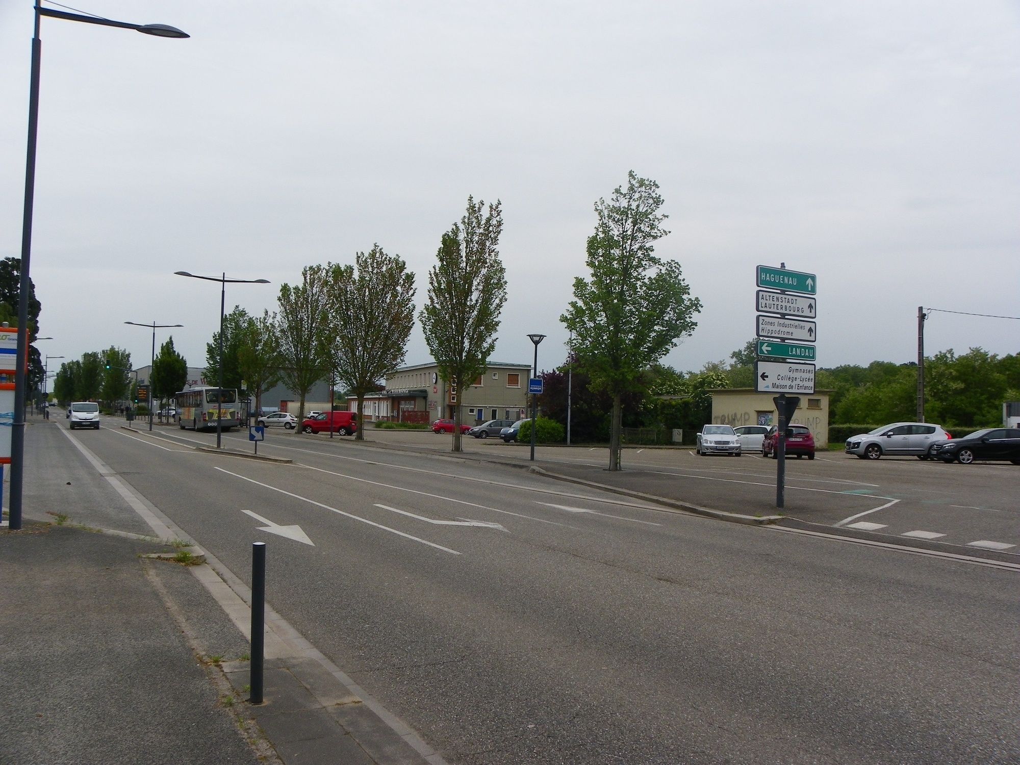
Wissembourg - Parkplatz Bahnhof
- Height profile
-
 © outdooractive.com

-

-
AuthorThe tour Wanderung zwischen Wissembourg und Scherhol is used by outdooractive.com provided.
GPS Downloads


General info
Refreshment stop
Healthy climate
Cultural/Historical
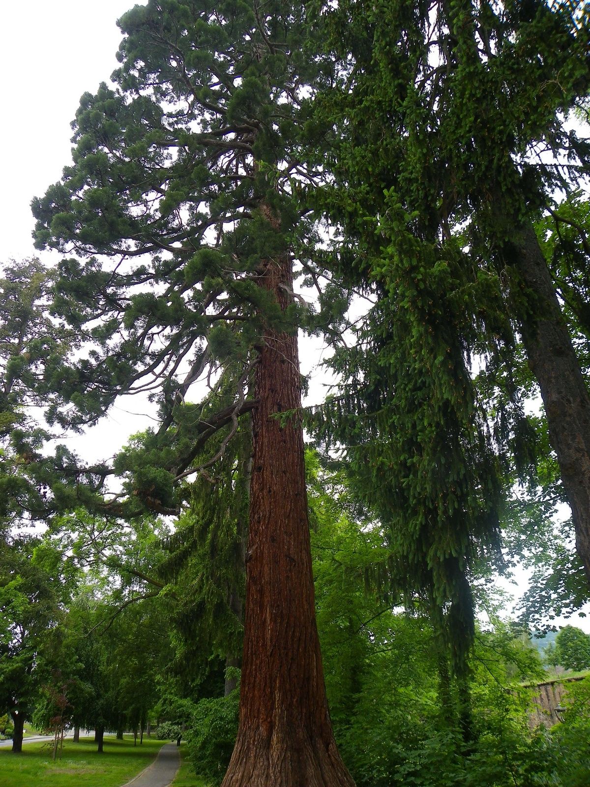
Flora
A lot of view
Other tours in the regions
-
Pfalz
1513
-
Pays de Wissembourg
634
-
Drachenbronn-Birlenbach
104