© Club Vosgien - Jean Pierre Pentecôte

© Club Vosgien - Jean Pierre Pentecôte

© Club Vosgien - Jean Pierre Pentecôte

© Club Vosgien - Jean Pierre Pentecôte
- Brief description
-
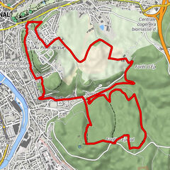
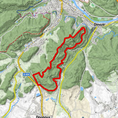
Wanderung durch Wald und Tal, mit dem roten Ring markiert
- Difficulty
-
easy
- Rating
-
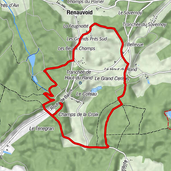
- Route
-
Renauvoid3.7 kmLes Beaux Champs4.2 kmSource de l'Avière5.5 km
- Best season
-
JanFebMarAprMayJunJulAugSepOctNovDec
- Highest point
- 477 m
- Endpoint
-
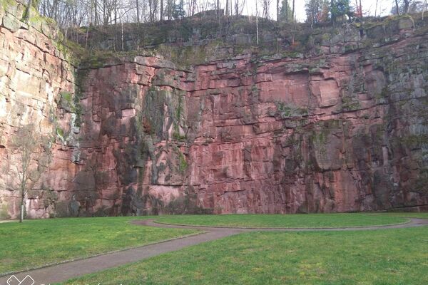
Parking dit de la carrière de Renauvoid
- Height profile
-
 © outdooractive.com


-
-
AuthorThe tour Die Quelle der Avière is used by outdooractive.com provided.
GPS Downloads


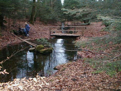
General info
Healthy climate
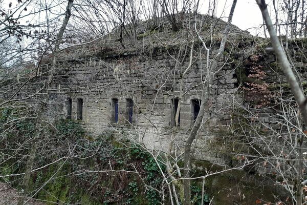
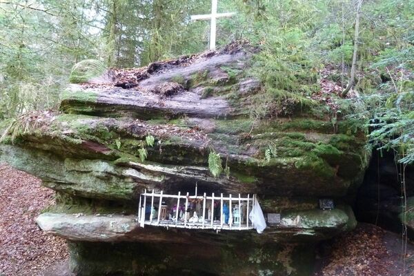
Cultural/Historical
Flora