- Brief description
-
- Difficulty
easy- Rating
- Starting point
Balbronn Town Hall
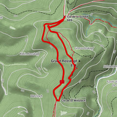
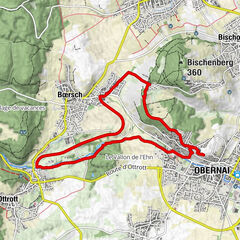
- Route
Balbronn0.1 kmÉglise de Balbronn0.1 kmÉglise Sainte-Catherine0.2 kmSteinacker1.4 kmMolsheimer Gasse2.8 kmSchmiede3.1 kmZum Loejelgucker3.2 kmTränheim3.3 kmWangen6.6 kmCol de Westhoffen (298 m)8.3 kmGeierstein (369 m)9.8 kmWesthofen im Elsass11.9 kmÉglise Saint-Martin12.4 kmÉglise Saint-Martin12.7 kmÉglise Sainte-Catherine14.8 kmBalbronn15.1 km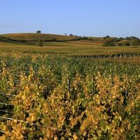

- Best season
JanFebMarAprMayJunJulAugSepOctNovDec- Description
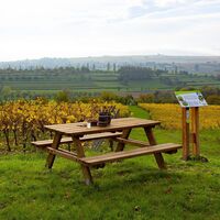
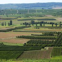
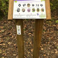
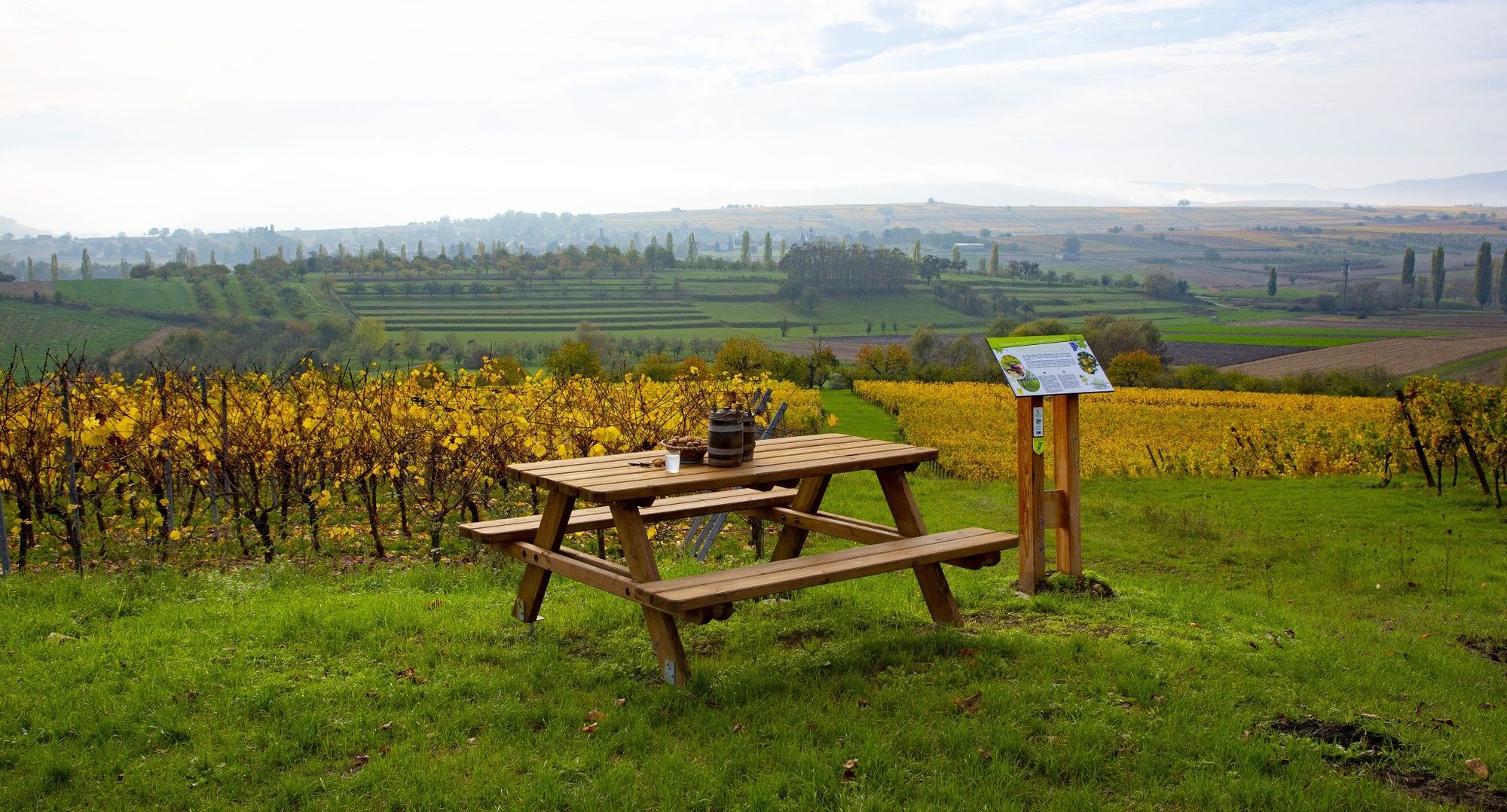
Between vineyards, orchards and forests, along the circuit, playful signs will keep your curiosity alive.
Learn to recognize animal tracks or the winegrower's tools, guess how the grape juice is made, such are the challenges you will have to face.
To see along the circuit:
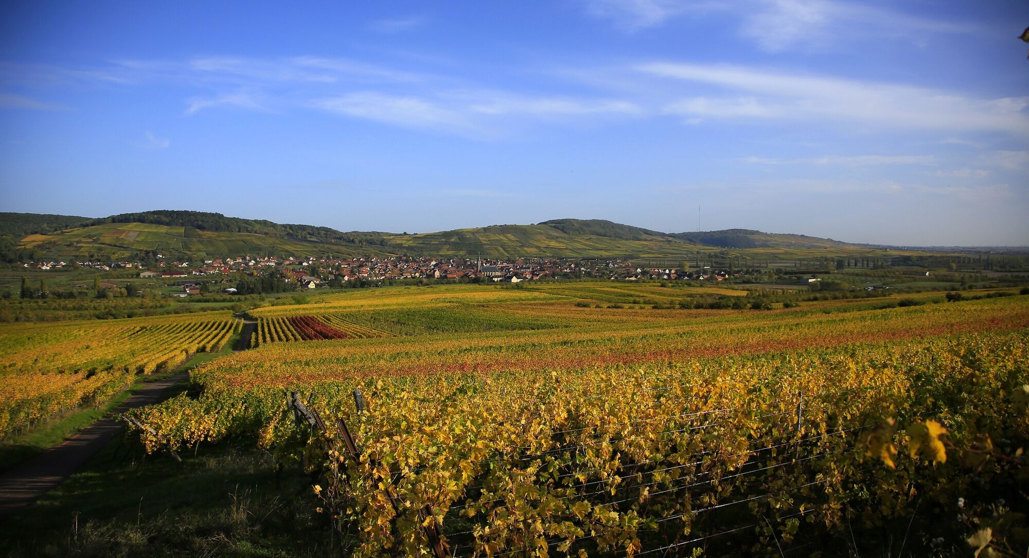
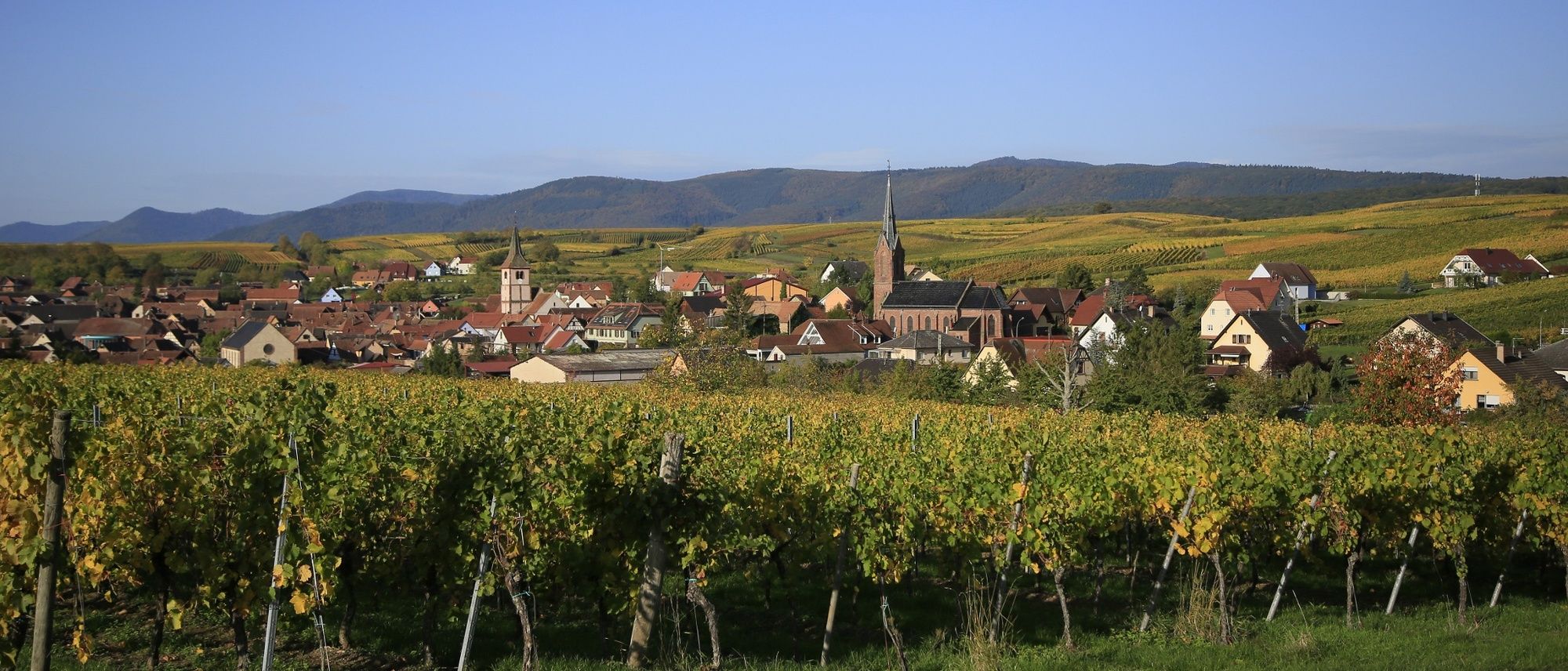
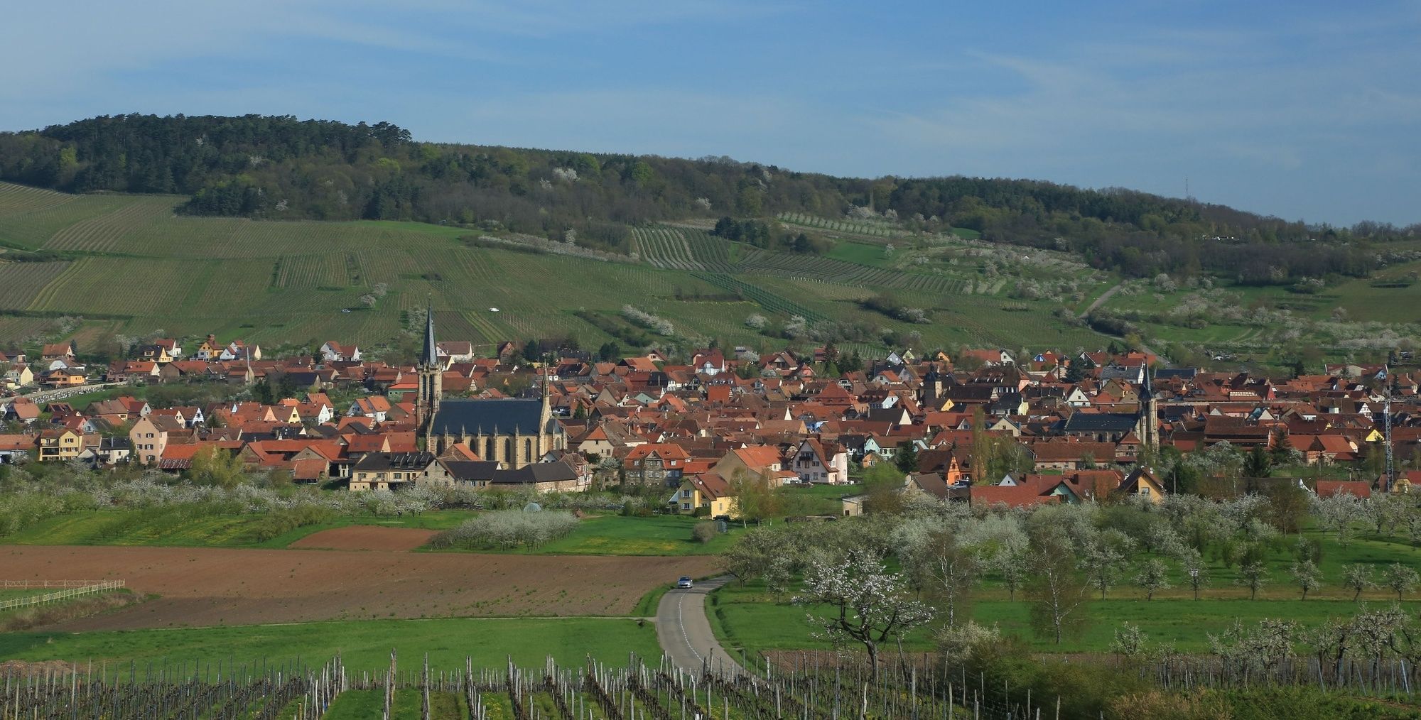
- the ramparts and the St Martin de Westhoffen church, the Romanesque remains, the courtyard of the town hall with its ramparts is worth a visit.
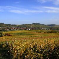
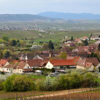
- Traenhein
- Traenhein, its exceptional view from the water tower.
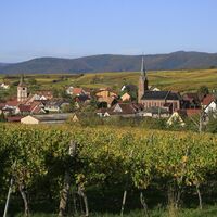
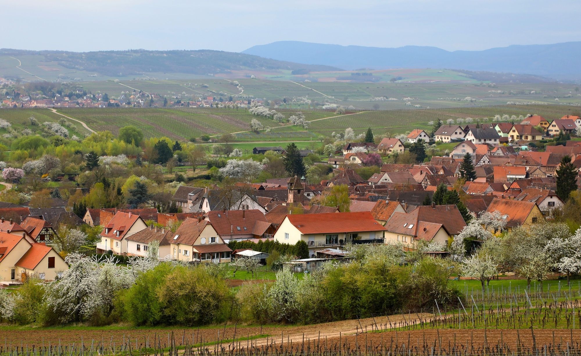
Take the time to discover the medieval town of Wangen, its 14th century ramparts and tower, its chapel and its miraculous fountain where wine flows every first Sunday in July.
- Visit the town of Traenhein, its exceptional view from the water tower.
- Traenhein, its exceptional view from the water tower.
- Traenhein, its exceptional view from the water tower.
- Traenhein, its exceptional view from the water tower.
- Traenhein, its exceptional view
- Highest point
- 359 m
- Endpoint
Balbronn Town Hall
- Height profile
 © outdooractive.com
- Equipment
Adapted clothing for the season and conditions (cold, hot, wet…) Hiking shoes adapted to the terrain (even for children!) Mobile phone and spare batteryIN THE BACKPACK
Each to their own: 20 litres for half day, about 30 litres for full day, but no more than 10-15% of the wearer's weight Prepare protection against rain (cape, umbrella…), cold (fleece, hat, gloves, glass protection…), sun (sun cream, hat…) Bin bag (to bring everything home!) Paper tissues, toilet paper First aid kit- Safety instructions
Before you go:
Find out about the general and local weather, making sure there are no precipitations. Inform yourself about the approach walk, height of the route, travel time, possible map (IGN map, GPS, topo-guide, etc…) Evaluate the possible risks by getting information from mountain professionals, refuge, gîtes Inform someone close to you of your objective and contact them again in case of change: departure and return times, number of participants with the telephone number of each, vehicle(s), parking Avoid going alone, use equipment that conforms to the practice of the activity, that is safe and in good condition, headlamp, complete first aid kit, survival blanket, etc.In case of problems
Alerter: call 112 (European emergency number)
5 key points to pass on your alert:
Where? commune, location, route, altitude Who? identity, telephone number. What? type of accident, number of victims, gravity, fall kinetics- Tips
Beware, in case of heavy rain, some paths will be difficult to walk.
- Additional information
- Directions
From Wasselonne, take the D 75 via Westhoffen;
- Public transportation
CTBR bus line no. 234 Marlenheim - Balbronn
- Parking
Parking at the Fronhof hall, 100 m upstream from the Balbronn town hall
-
-
AuthorThe tour In the footsteps of Bacchus is used by outdooractive.com provided.


General info
-
Bas-Rhin
802
-
Mossig et Vignoble
413