
- Brief description
-
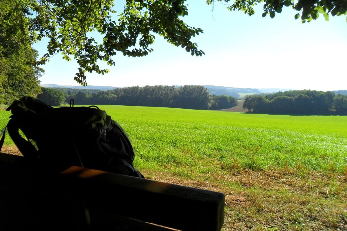
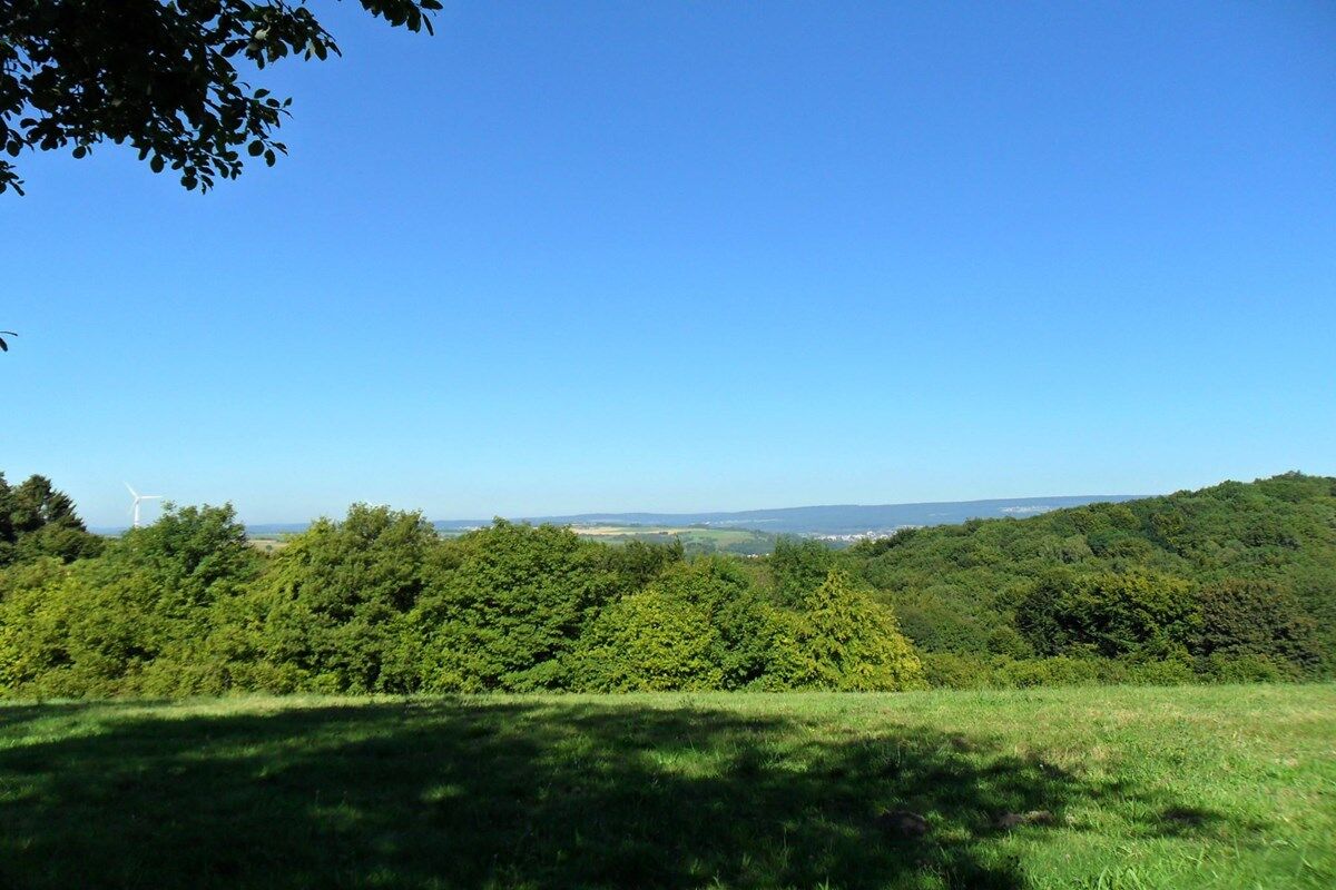
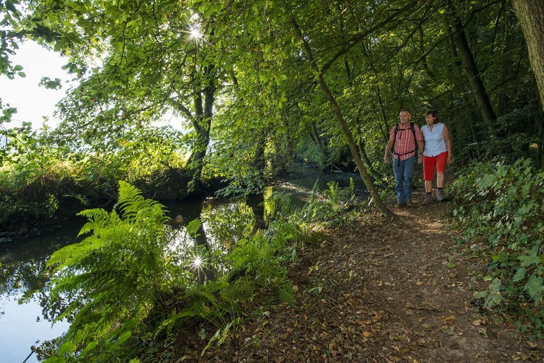
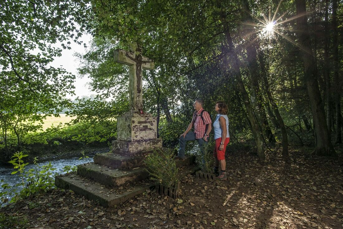
This is a short, largely flat and varied tour, suitable for untrained hikers. Highlights include a path taking you along the Losheim creek and the mysterious Rammenfels rock. Most of the trail is in the forest but includes nice views, too.
- Difficulty
-
easy
- Rating
-
- Starting point
-
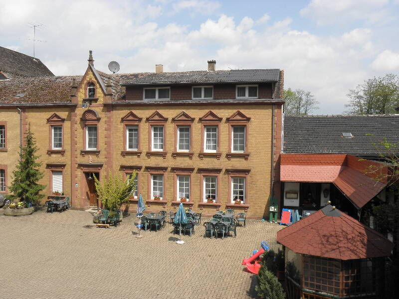
Hotel-Restaurant Dellborner Mühle in Wahlen
- Route
-
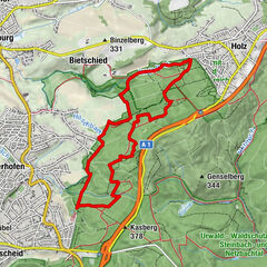
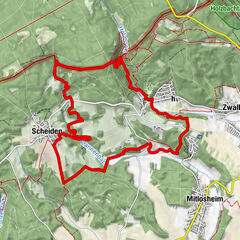
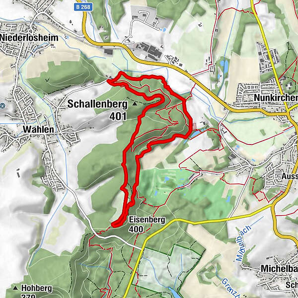
Eisenberg (400 m)3.9 kmDellborner Mühle8.4 km
- Best season
-
JanFebMarAprMayJunJulAugSepOctNovDec
- Description
-
The hike begins at the Dellborner Mühle. The mill, which has existed since the middle of the 18th century, is located on the Losheimer Bach at the foot of the Wahlen Mountains between Wahlen and Nunkirchen.
Through various forest formations one reaches an open pasture area on the Eisenberg. Once the pasture is passed, the routes of the “big” and “small” Lückner share. After a short while in the forest, the path leads into the valley. The green and sandy areas of the Nunkircher golf course become visible.
We continue to walk in the forest, later we pass a tennis facility and a paddock. In a hairpin bend along the route, there is an indication that the distance to Münchweiler Castle is only 800 meters. The Rammenfels natural monument is reached after a short time. The almost 30 meter high sandstone rock is said to have been a Stone Age settlement. Since 1948 there has been a Lourdes grotto under the overhanging rock.
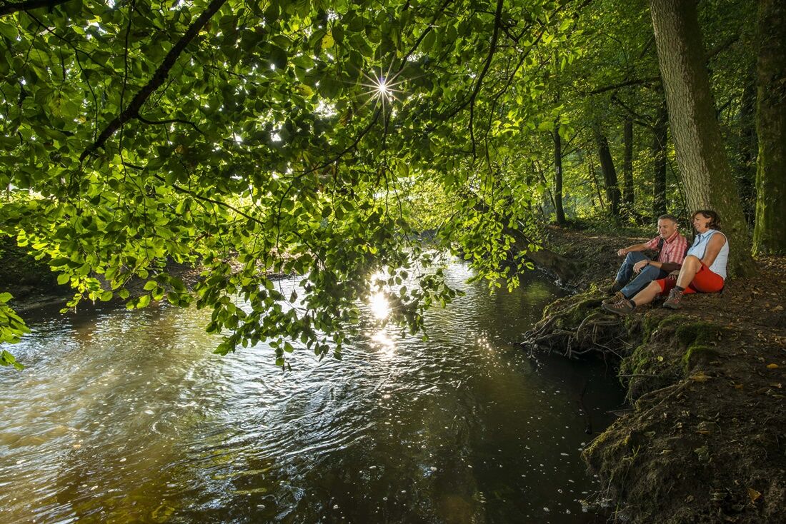
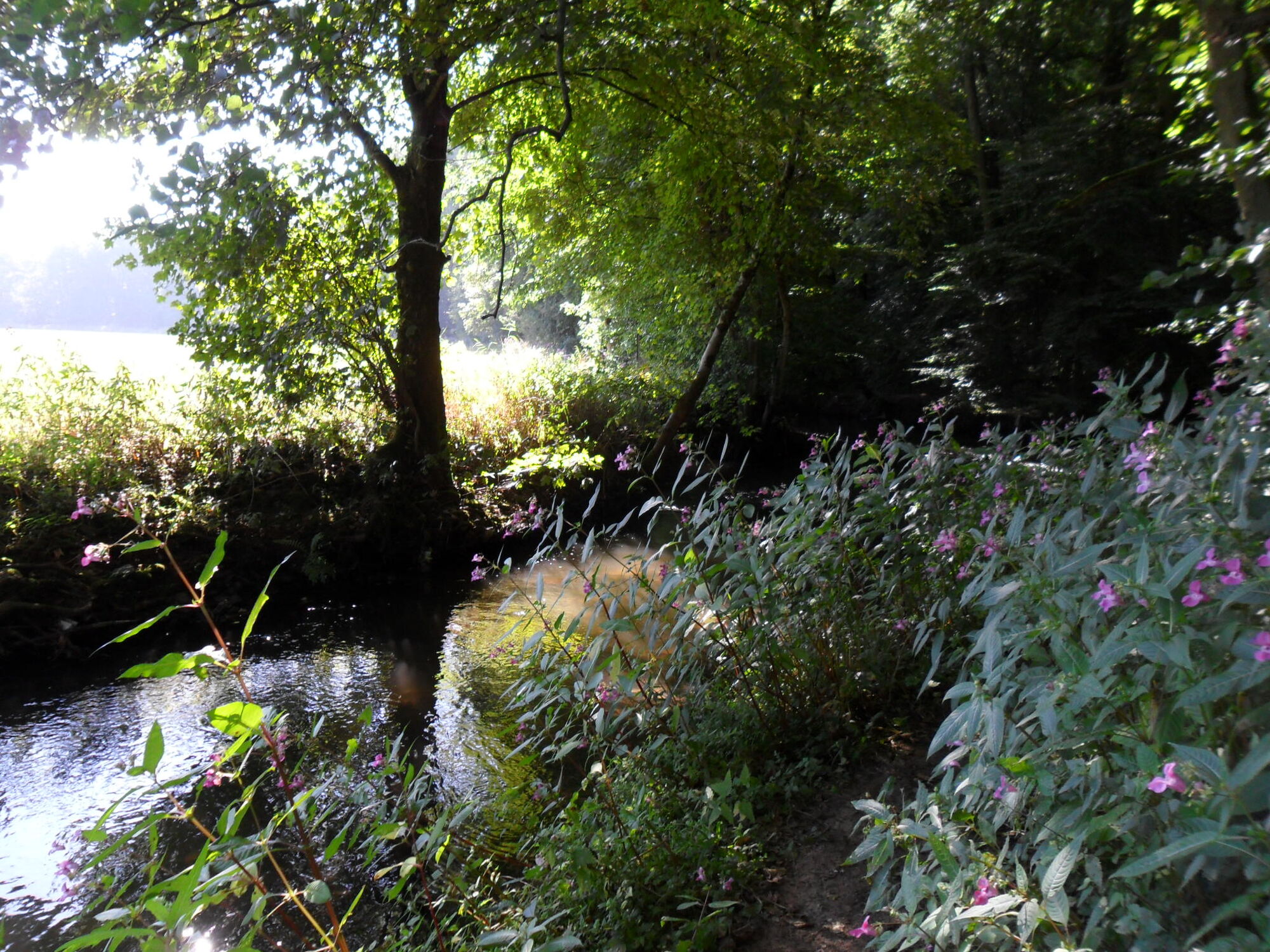
A narrow path runs from the Rammenfels to the Dellborner Mühle directly on the Losheimer Bach, which follows the meanders of the brook and presents the viewer with a gallery with beautiful water pictures in various colors. Sometimes the water ripples softly, then it seems to continue to flow silently before it becomes audible again over stones and bends. The trail has been rated with 66 adventure points by the German Hiking Institute.
- Highest point
- 398 m
- Endpoint
-
Dellborner Mühle, Dellbornerstraße 76, 66679 Losheim am See
- Height profile
-
 © outdooractive.com
 - Safety instructions
-
Please note:
Entering the forest and using the hiking trails is always at one’s own risk.
Depending on season and weather individual legs of hiking trails require a particularly sure foot. Therefore, please make sure to wear hiking shoes with rugged soles for traction and clothes that are appropriate for the respective season and weather conditions.
- Author
-
The tour ‘Kleiner Lückner´ is used by outdooractive.com provided.


General info
-
Hochwald Ferienland
386
-
Merzig
76