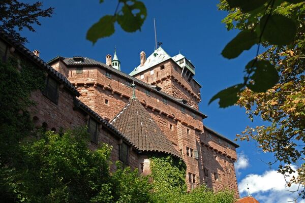
© Massif des Vosges - Office de tourisme de la vallée de Kaysersberg

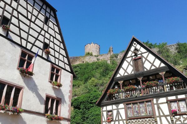
© Massif des Vosges - OT vallée de Kaysersberg / www.martineschnoering.com

- Brief description
-
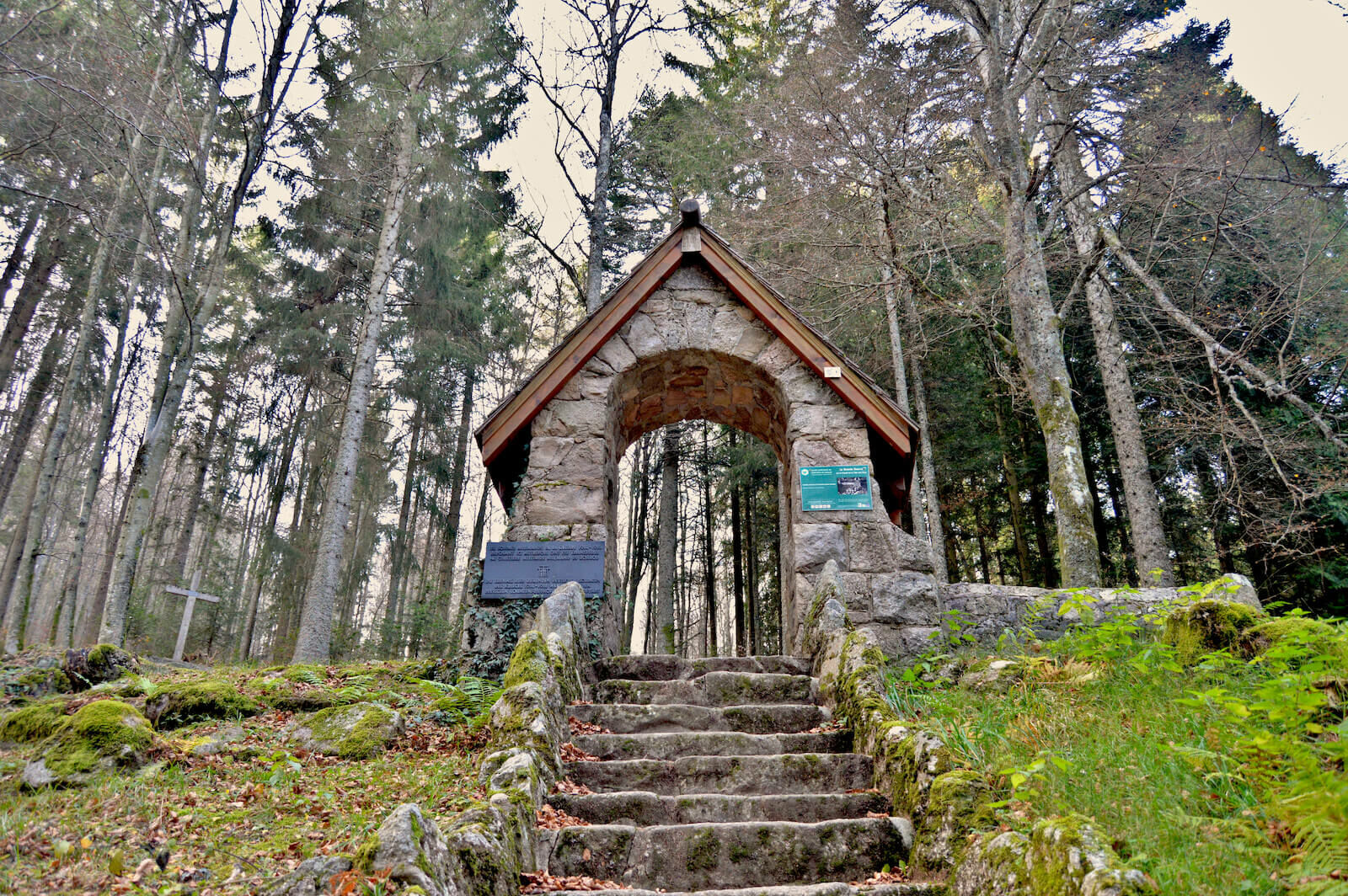
This hike takes you in the footsteps of the 14-18 war. At the top is the arrival station of the cable car used during the war to transport equipment and the wounded. German fortins, trenches, French shelters, fortifications ... mark out this route through the forest. Document "Ideas for hiking" including 8 trails and 4 hikes on sale for € 2 at the Tourist Office reception desks.
- Difficulty
-
medium
- Rating
-
- Route
-
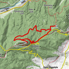
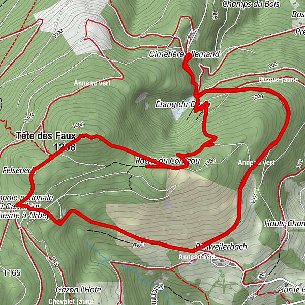
Étang du Devin (926 m)0.4 kmRoche du Corbeau2.0 kmBuchenkopf (1,208 m)3.0 kmÉtang du Devin (926 m)8.2 km
- Best season
-
JanFebMarAprMayJunJulAugSepOctNovDec
- Highest point
- 1,216 m
- Endpoint
-
Parking du gîte d'étape "Etang du Devin"
- Height profile
-
 © outdooractive.com
-

-
AuthorThe tour Hiking circuit - The memory circuit of the Tête des Faux is used by outdooractive.com provided.
GPS Downloads


General info
Refreshment stop
Healthy climate
Cultural/Historical
A lot of view
Other tours in the regions
-
Haut-Rhin
1426
-
Vallée de Kaysersberg
731