
- Brief description
-
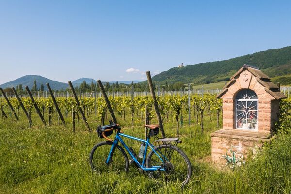
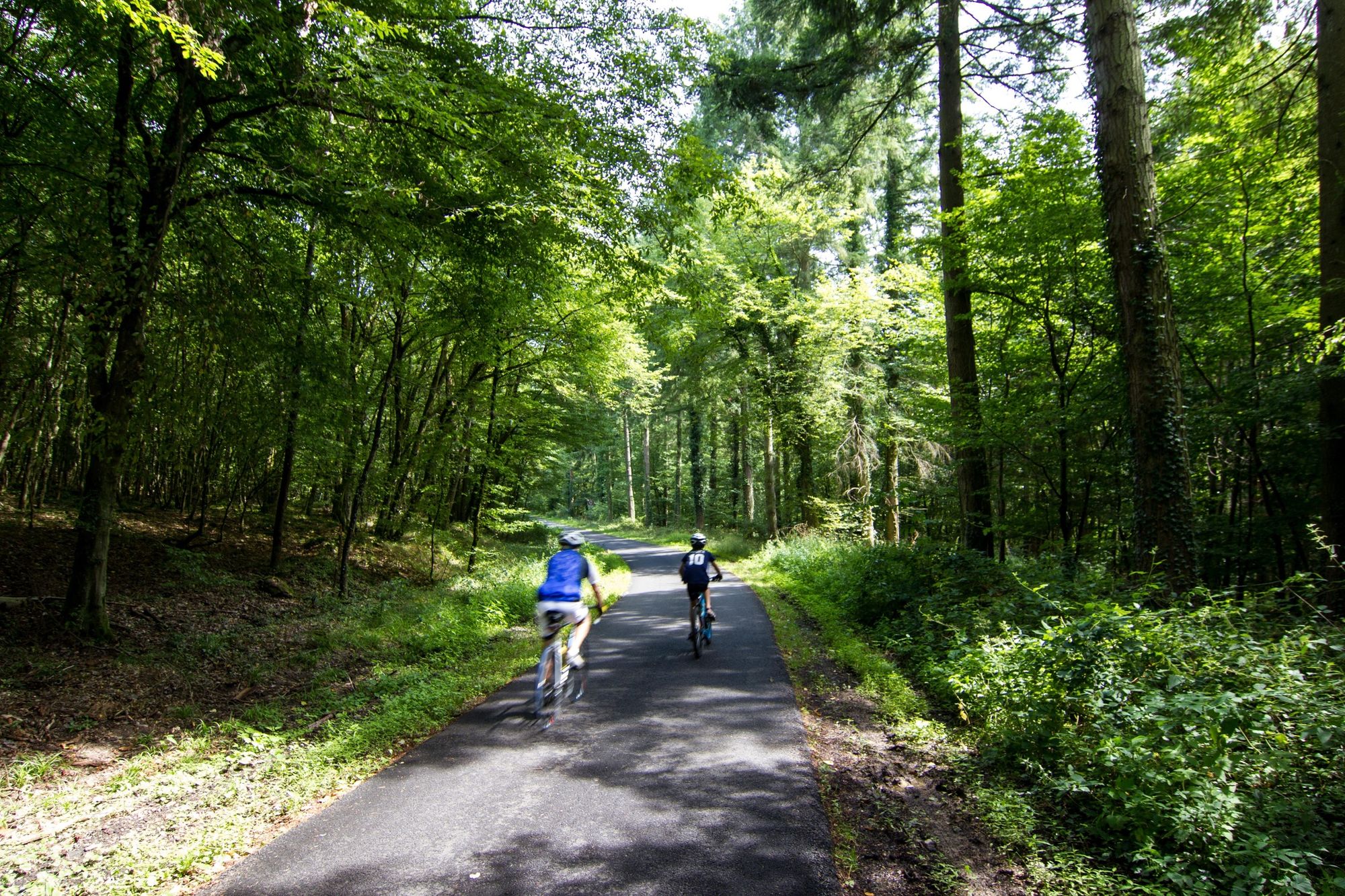
The route links Villé to Elzach (DE) by the salt road, orchards, fortified castles and also takes part of the Eurovelo 5.
- Difficulty
-
difficult
- Rating
-
- Starting point
-
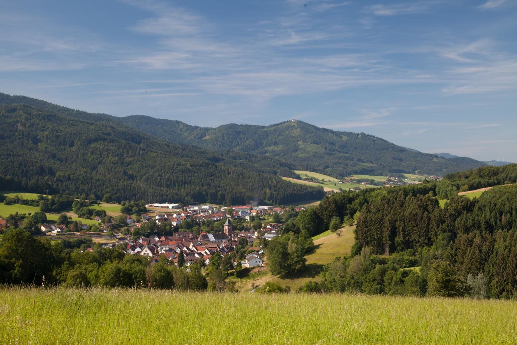
Villé
- Route
-
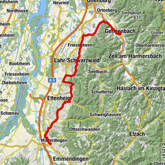
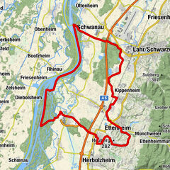
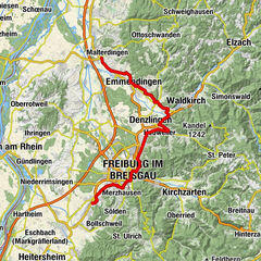
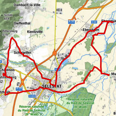
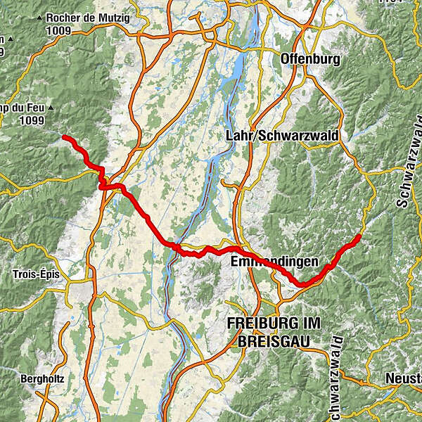
WeilerVillage0.4 kmIm Feld0.8 kmTrienbach1.4 kmÉglise Saint-Christophe1.6 kmMuehlbuckel2.8 kmMuehlmatten3.1 kmSankt Moritz3.1 kmHerrenmatten3.7 kmThannweiler4.3 kmLe Relais du Château4.6 kmNiederfeld4.7 kmBrischbach7.2 kmAuberge de la Hühnelmühle9.6 kmKestenholz12.5 kmKinzheim15.1 kmChapelle Saint-Wendelin16.0 kmAu Parc des Cigognes16.5 kmVille17.3 kmQuartier Gare18.6 kmSchlettstadt19.2 kmBei der Kapellenmuehle22.5 kmOberes Ried23.7 kmChapelle de la Vierge, de Saint-Ignace et de Saint-François-Xavier25.1 kmSchnellenbuhl25.1 kmAuberge de l'Illwald25.2 kmWechselmatt25.3 kmHeidolsheim27.6 kmMarkolsheimer Strasse28.1 kmCôté Écluse30.7 kmKrautfeld32.1 kmSchleusen von Markolsheim36.1 kmZur Limburg37.9 kmSasbach am Kaiserstuhl39.5 kmKönigschaffhausen43.0 kmKönigschaffhausen43.3 kmEndingen am Kaiserstuhl48.2 kmBreite51.9 kmRiegel am Kaiserstuhl52.8 kmTeningen58.1 kmEmmendingen61.3 kmEmmendingen (201 m)61.5 kmKernstadt61.7 kmKollmarsreute64.8 kmQuellfassung66.2 kmLörch66.9 kmMoos67.6 kmWaldspielplatz70.2 kmBatzenhäusle70.6 kmSt. Carolus71.7 kmWaldkirch (Breisgau)72.8 kmWaldkirch (274 m)72.9 kmKollnau74.6 kmGutshof75.9 kmZum Ochsen75.9 kmGutach im Breisgau76.7 kmAuf dem Schönwasen77.5 kmSchönwasener Hof77.5 kmOttensteg78.2 kmBleibach78.5 kmSt. Georg78.6 kmFranziskuskapelle am Silberwald79.6 kmNiederwinden81.4 kmFrohnmatten82.5 kmFrohnacker82.6 kmNeudorf82.6 kmOberwinden83.1 kmGrün83.5 kmStauden84.7 kmElzach86.9 km
- Best season
-
JanFebMarAprMayJunJulAugSepOctNovDec
- Description
-
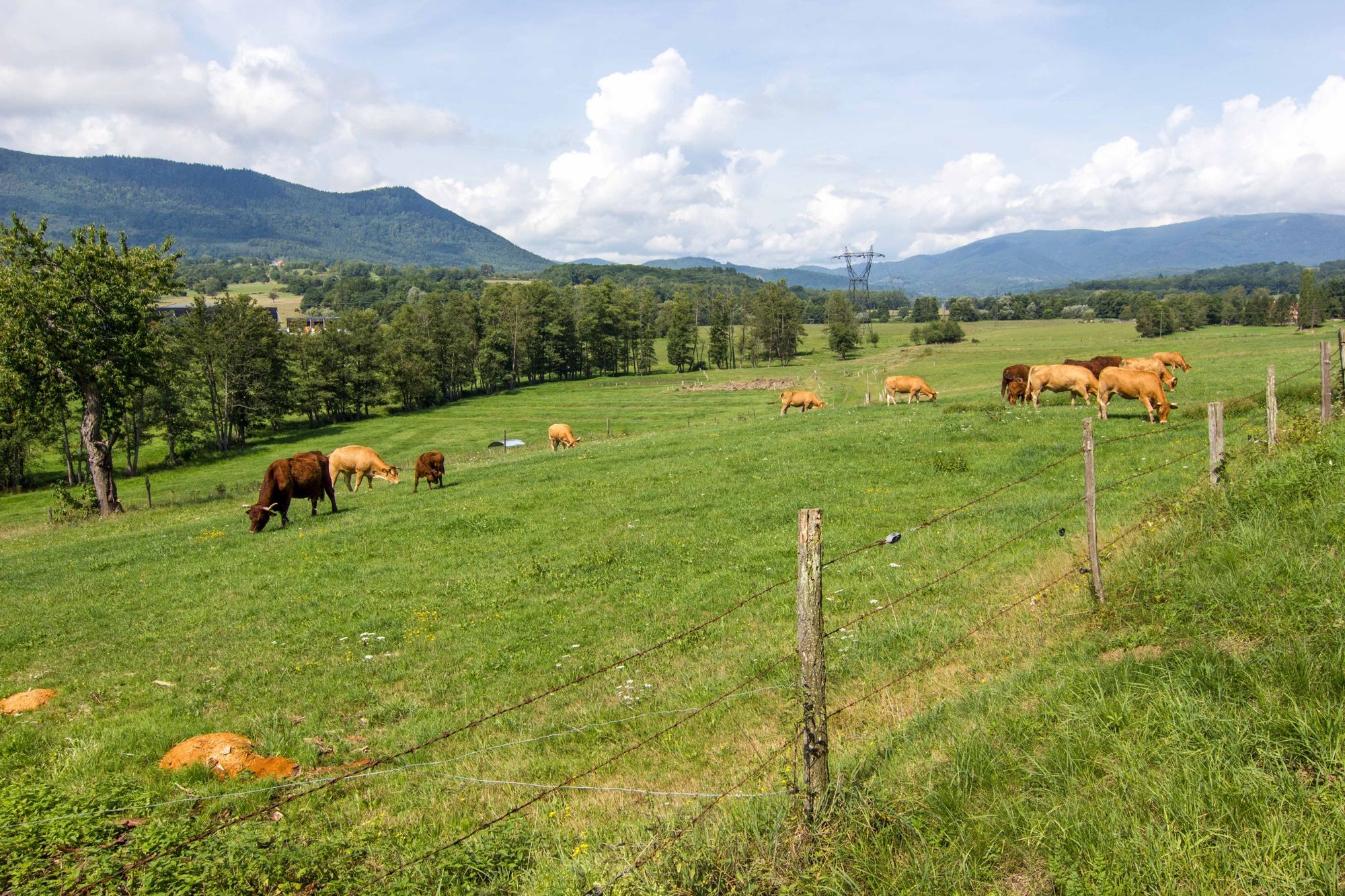
From Saint-Dié onwards, the road plunges into the valley of Urbeis, after going through the pass of the same name. It is one of the eight valleys which make up the Val de Villé, famous for its fruit brandies, notably kirsch, whose production remains a significant activity in the area. From Villé to Marckolsheim, the valley follows the old Salt Road, which went from Lorraine into Germany.
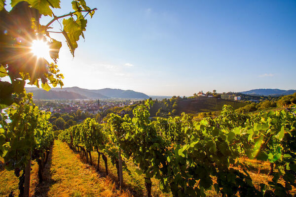
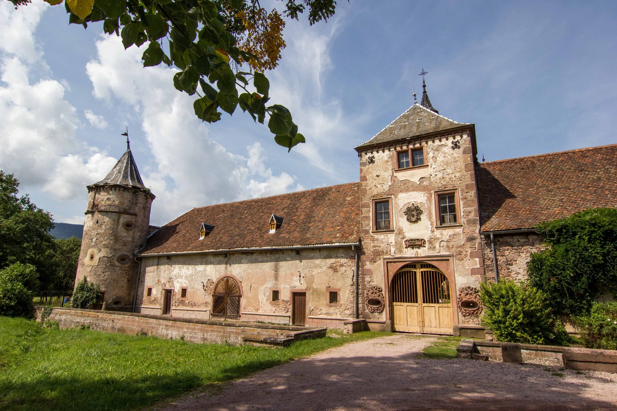
The way out of the Val de Villé, coloured by a mosaic of fortified castles, opens onto the vineyards of Alsace. Many pretty wine growing villages are interesting stopping places. The route continues towards Sélestat, the city of the Humanists. The town has some remarkable sites: the Humanist Library, but also the Sainte-Foy church, the SaintJean commander's residence, the witches' Tower and the Ebersmunster residence.
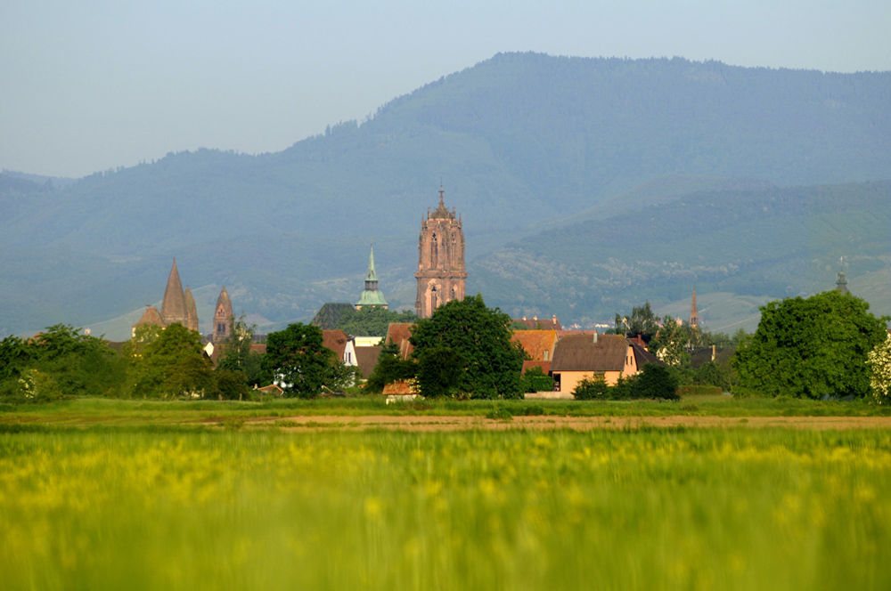
The trail then goes through the Ried to reach Marckolsheim. Your ride can be prolonged as far as Elzach in Germany. All you have to do is go over the bridge ... unless you prefer cross-country route no. 1 which heads back up to Strasbourg.
- Highest point
- 370 m
- Endpoint
-
Elzach (DE)
- Height profile
-
 © outdooractive.com
 - Equipment
-
Before you leave:
Make sure that the bike is in perfect mechanical condition, not to mention the tires and brakes Make sure that the bike is correctly adjusted to your body shape Wearing a helmet is strongly recommended Take a repair kit with you Remember that the Highway Traffic Act applies to cyclists in all circumstances Never drive more than two lanes at a time and pull into a single lane when traffic conditions require. Respect other users as you would like them to respect you Choose a route adapted to your physical abilities Inform your family and friends of your itinerary Find out about the weather conditions A first aid kit is not essential, but can be very useful Be informed and keep the emergency numbers. Respect the environment by not throwing your food packaging on the side of the road If you have to return at nightfall, make sure you see and also be seen - Safety instructions
-
In a emergency, dial 112
- Tips
-
Low shadow route
- Additional information
- Public transportation
-
By train:
Line Strasbourg-Molsheim-Sélestat
Line Strasbourg-Sélestat-Colmar
-

-
AuthorThe tour Cycling route: From Villé to Elzach (DE) is used by outdooractive.com provided.