The GR® of Pays de la Déodatie (North Loop)


- Brief description
-
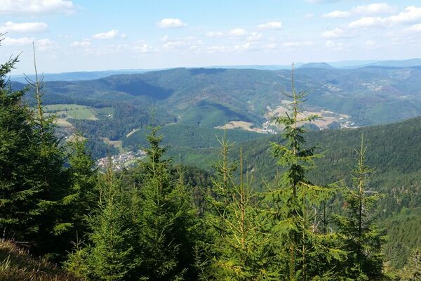
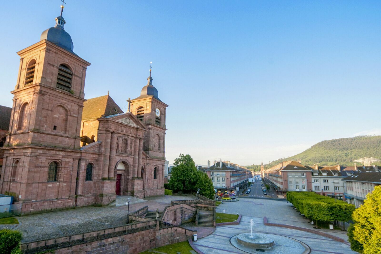
This route invites you to discover this part of the Vosges territory steeped in history and memory. Over the days, you will be transported to the heart of emblematic and mythical places. 7 days of walking (136 km) from Saint-Dié-des-Vosges
- Difficulty
-
difficult
- Rating
-
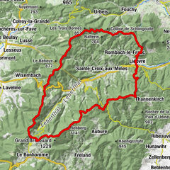
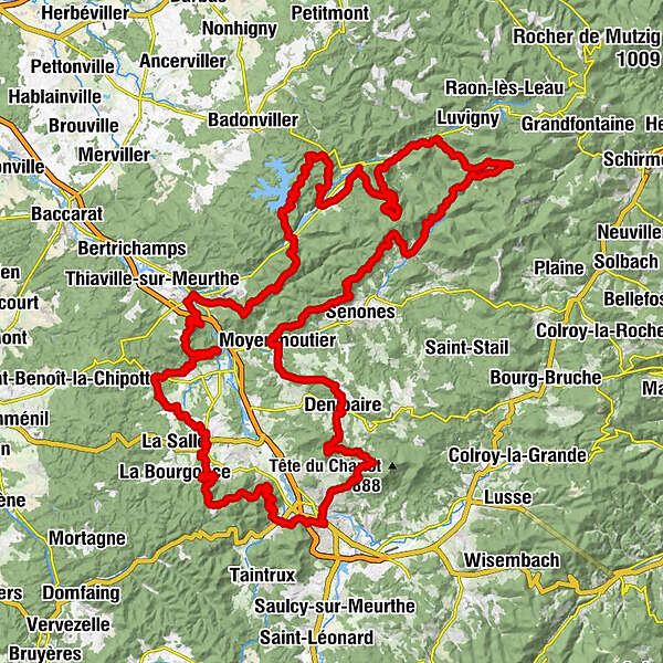
- Route
-
Sankt DidelSaint-Dié-des-Vosges0.0 kmLa Bolle3.3 kmCarrefour du Bihay (421 m)5.2 kmTournant Bazelaire5.4 kmLa Chaise du Roi5.8 kmLe Pas de l'Âne6.0 kmRoches du Bihay6.7 kmTête de la Biche (645 m)7.2 kmRoche de la Biche7.4 kmCol des 4 chemins13.0 kmNompatelize19.8 kmÉglise Saint-Epvre20.3 kmSaint-Remy23.9 kmLe Talin25.0 kmLa Pierre d'Appel (492 m)32.3 kmRoche du Renard (575 m)36.6 kmRaon-l'Étape40.7 kmLes Jardins du Bailly41.4 kmCol de Croix Collé (618 m)46.8 kmLes 2 Gros57.6 kmLangstein57.6 kmÉglise Saint-Gengoult57.7 kmGrotte des Poilus60.9 kmLa Menelle64.9 kmÉglise Saint-Pierre et Saint-Paul65.1 kmCelles-sur-Plaine65.2 kmBionville78.8 kmÉglise Saint-Léonard78.9 kmAllarmont79.1 kmAuberge de la Maix81.9 kmVexaincourt81.9 kmLes Neufs Meix-Ouest82.2 kmLes Neufs82.3 kmHabremelle82.6 kmHaut du Bon Dieu90.3 kmJardin de David92.1 kmMoussey97.5 kmCol de Dialtrepoix (667 m)102.2 kmLe Fourneau (637 m)104.5 kmLes Quatre Bancs (580 m)105.3 kmMoyenmoutier113.1 kmDenipaire120.6 kmAux Zillés120.6 kmChez les Fonfons120.7 kmCol du Bon Dieu (560 m)125.5 kmLes Molières127.9 kmCascade des Molières128.0 kmFontaine Fachot130.5 kmPépinière du Paradis131.1 kmSaint-Dié-des-Vosges133.7 kmÉglise Saint-Martin134.1 km
- Best season
-
JanFebMarAprMayJunJulAugSepOctNovDec
- Description
-
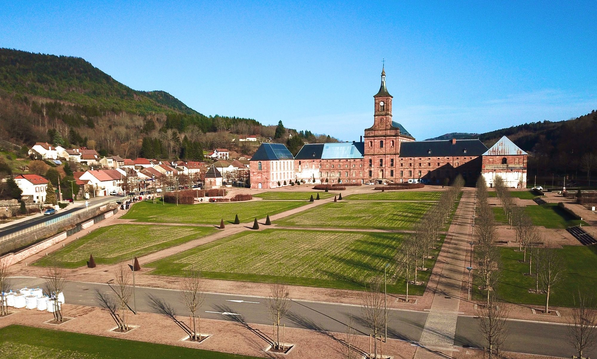
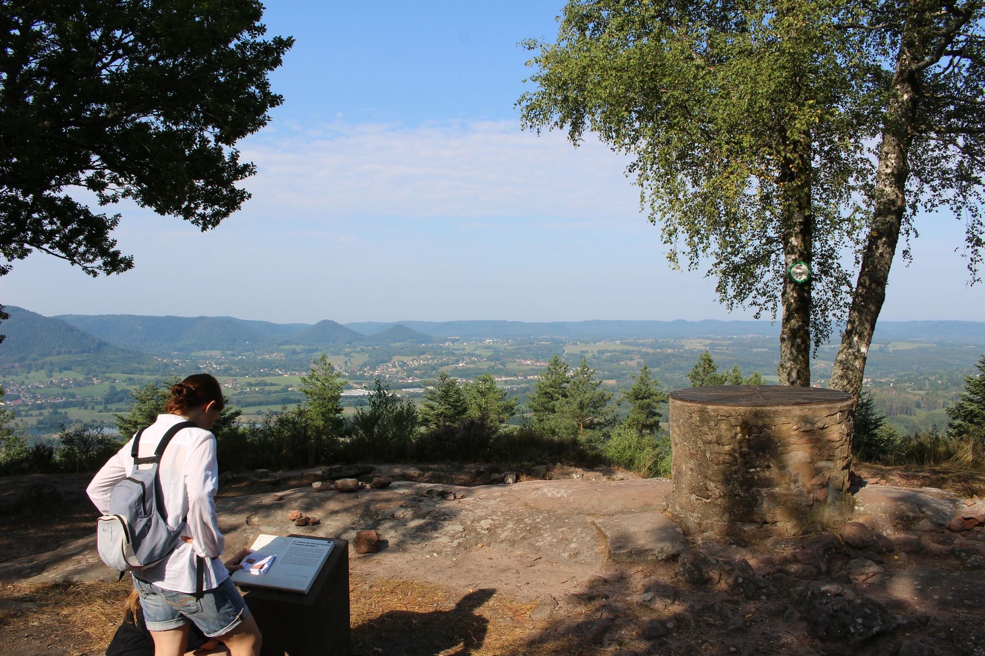
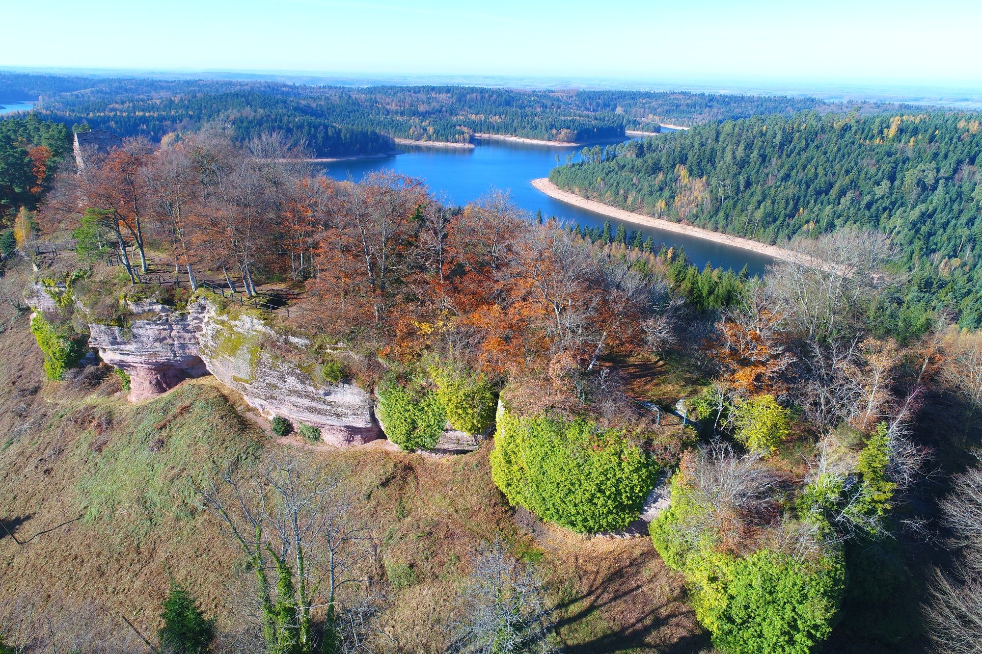
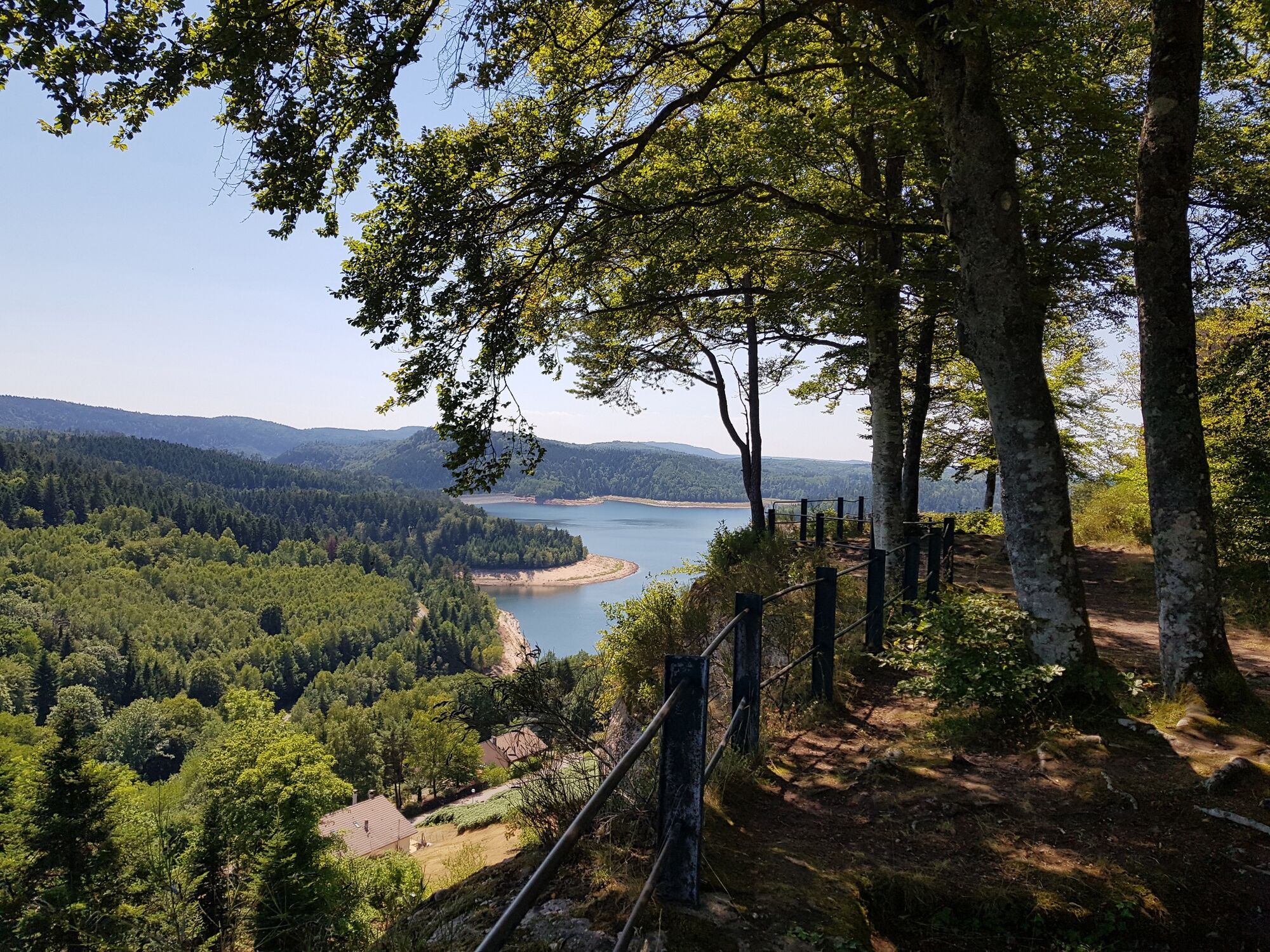
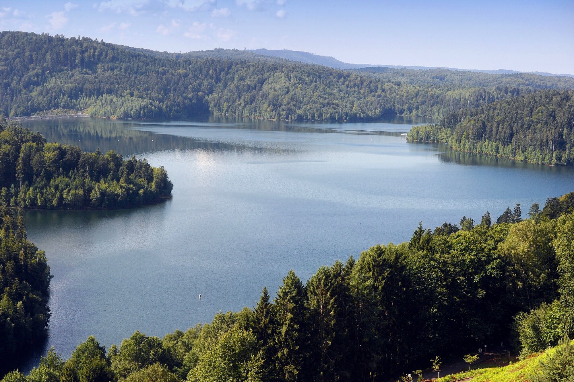
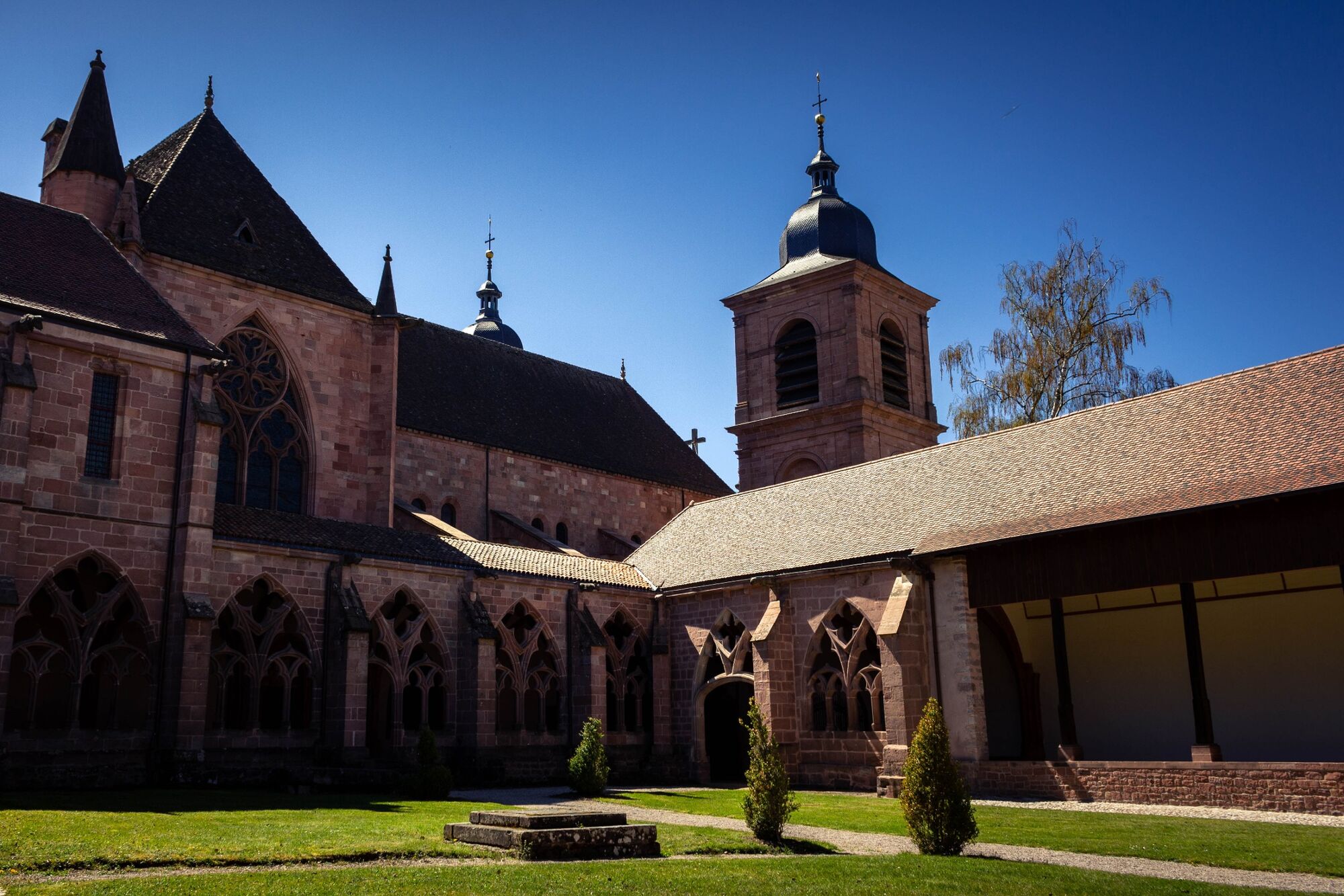
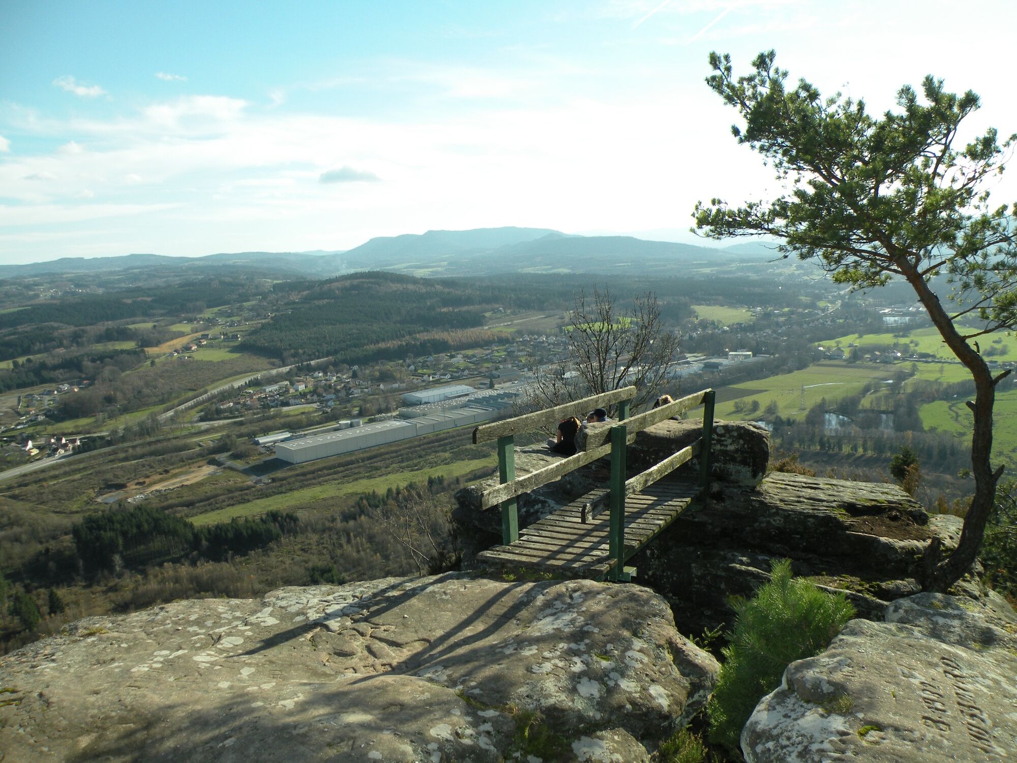
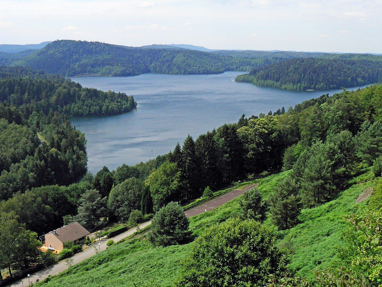
From the time of Antiquity with the panorama offered from the Stone of Appeal, passing of course through the famous abbeys of the towns of Senones, Moyenmoutier and Etival-Clairefontaine. The trail will then guide you through the heart of the Plaine and Rabodeau valleys. You will then be able to enjoy the astonishing landscapes offered by the Pierre-Percée and Celles-sur-Plaine lakes, and then make a leap into the history of the Great War through the discovery of remarkable sites, such as the Tête du Coquin.
- Highest point
- 804 m
- Endpoint
-
Saint-Dié-des-Vosges
- Height profile
-
 © outdooractive.com
-

-
AuthorThe tour The GR® of Pays de la Déodatie (North Loop) is used by outdooractive.com provided.


General info
-
Vosges
364
-
Saint-Dié-des-Vosges
483